


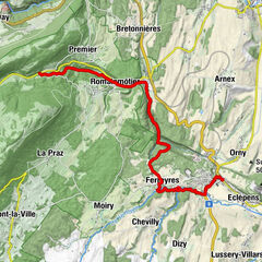
Tour data
13km
1,005
- 1,096m
153hm
154hm
03:26h

- Brief description
-
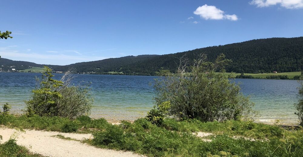
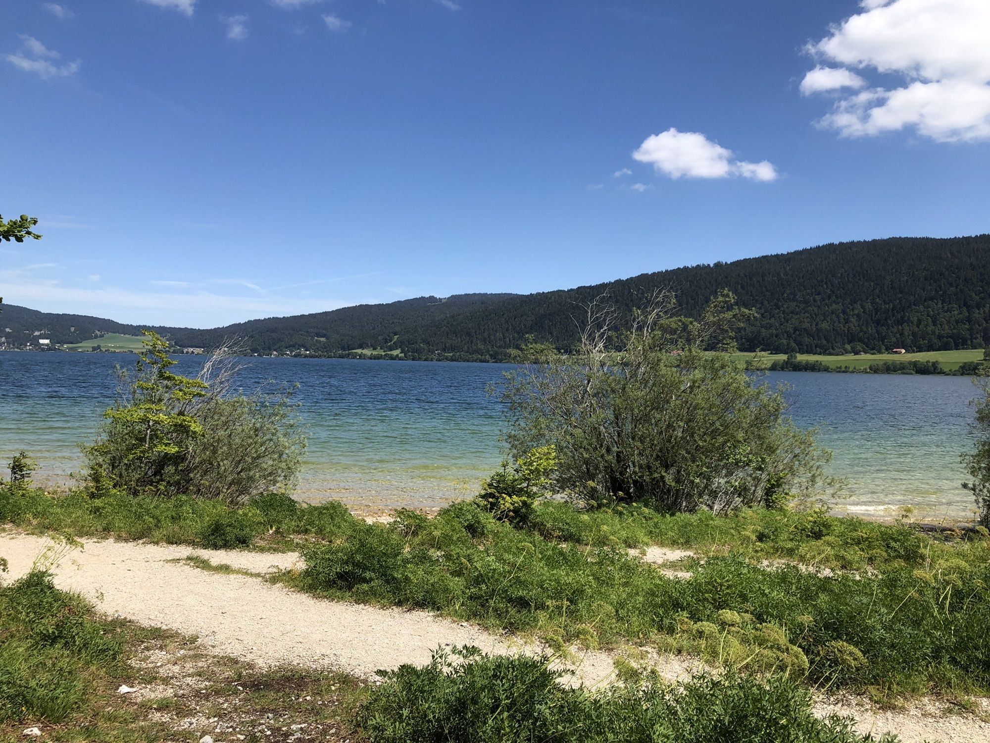
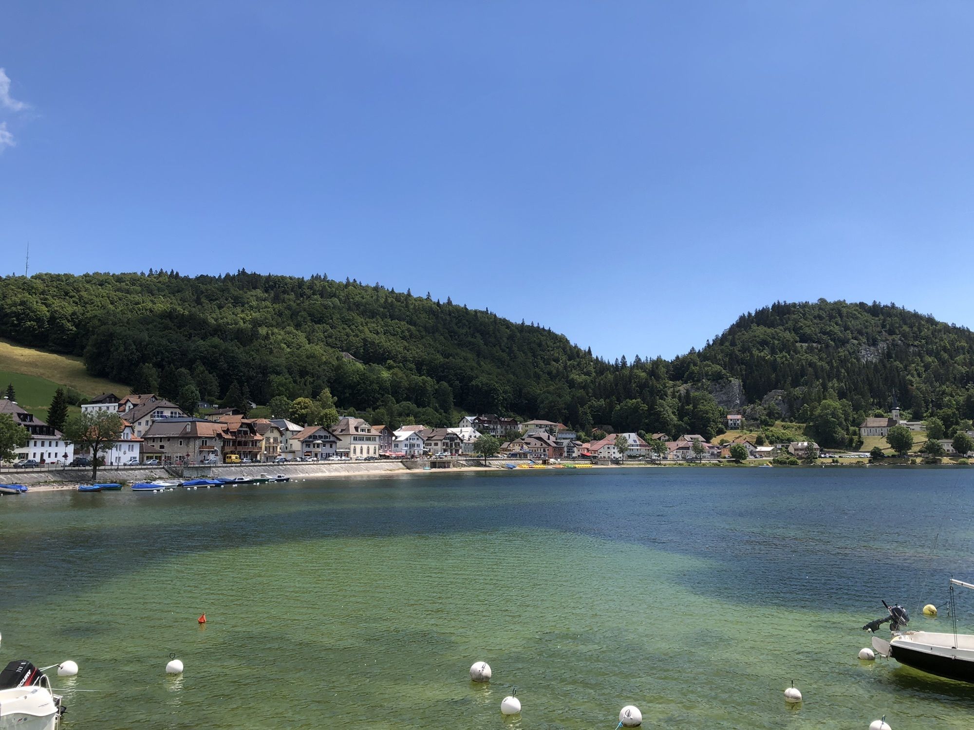
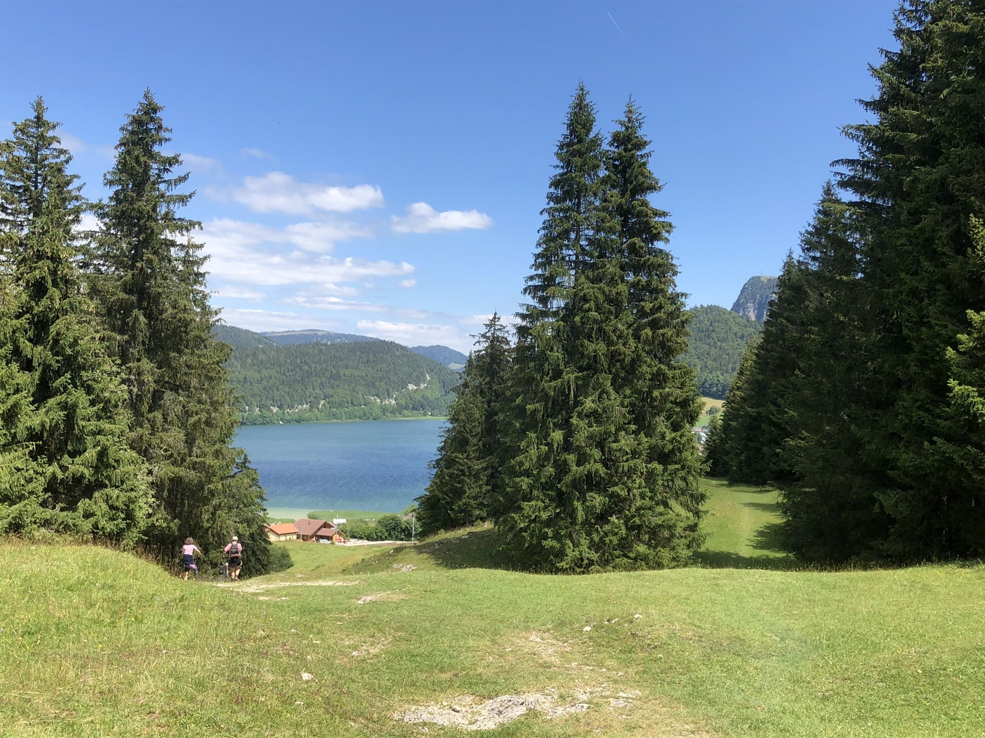
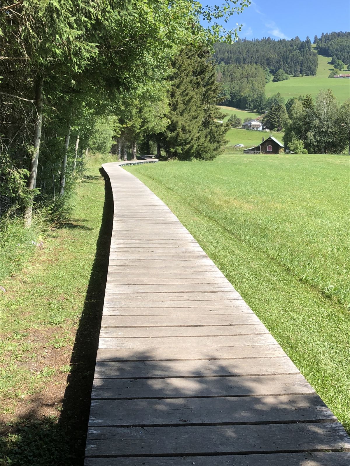
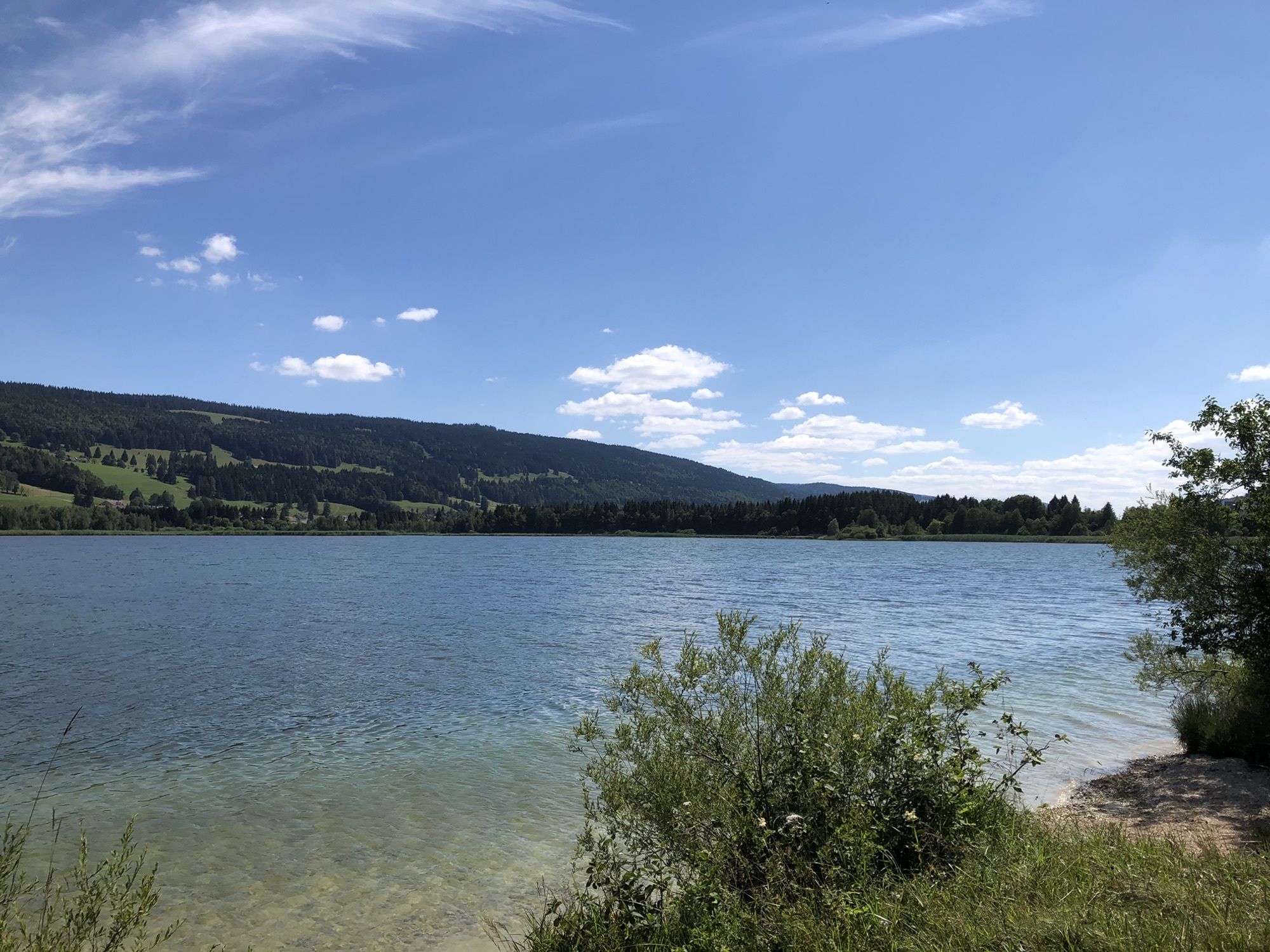
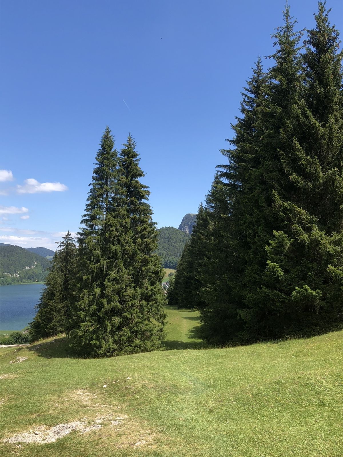
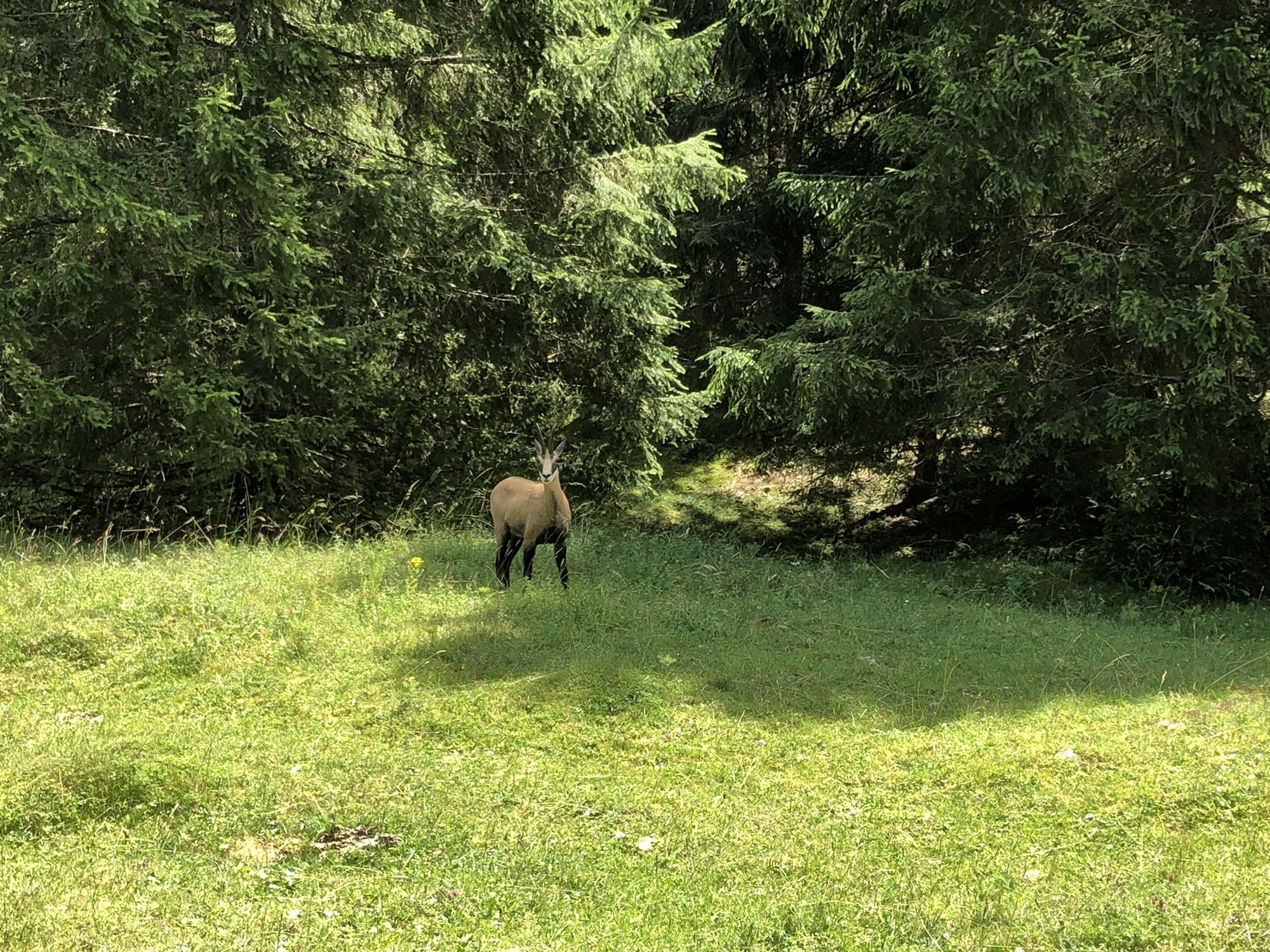
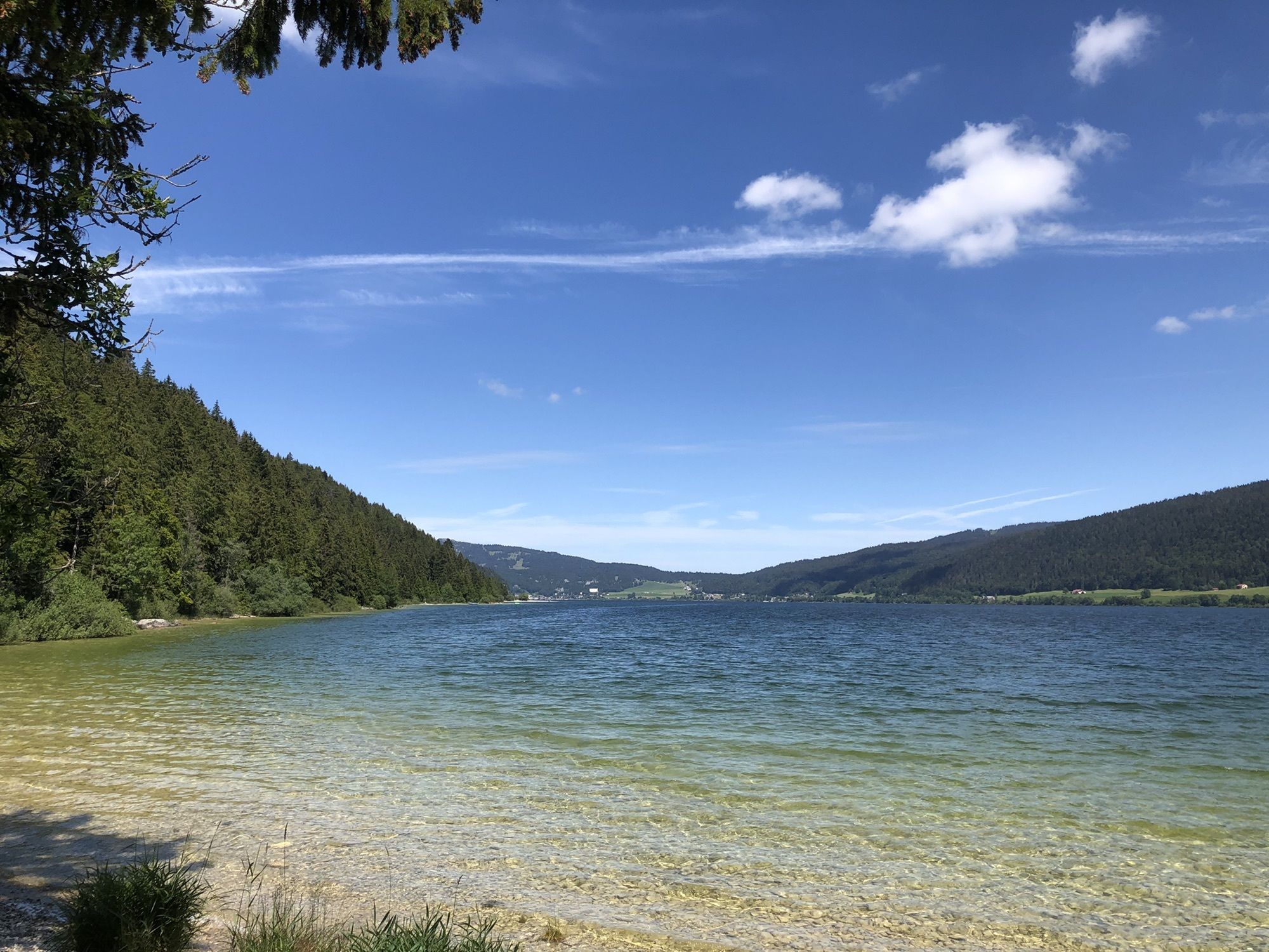
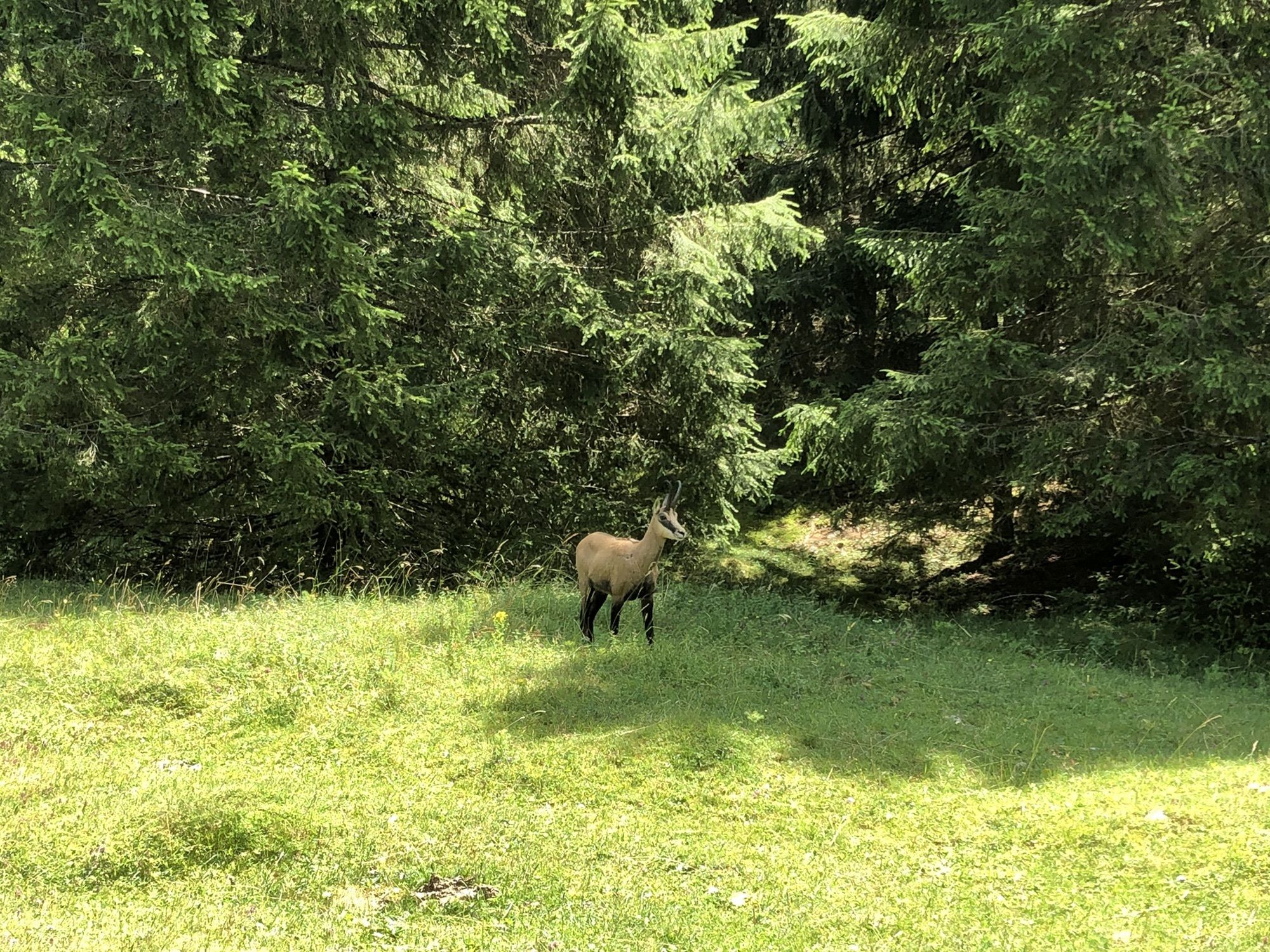
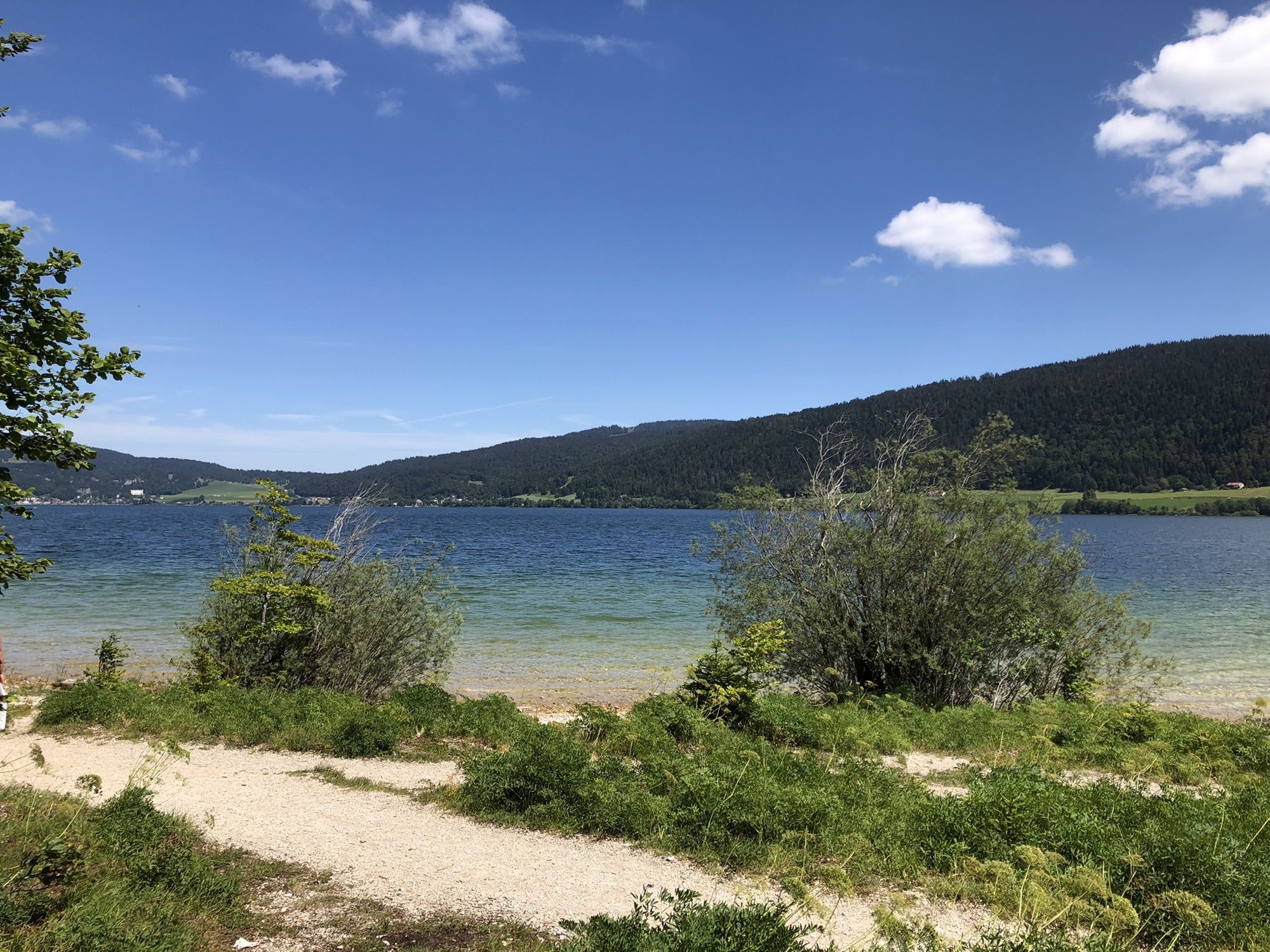
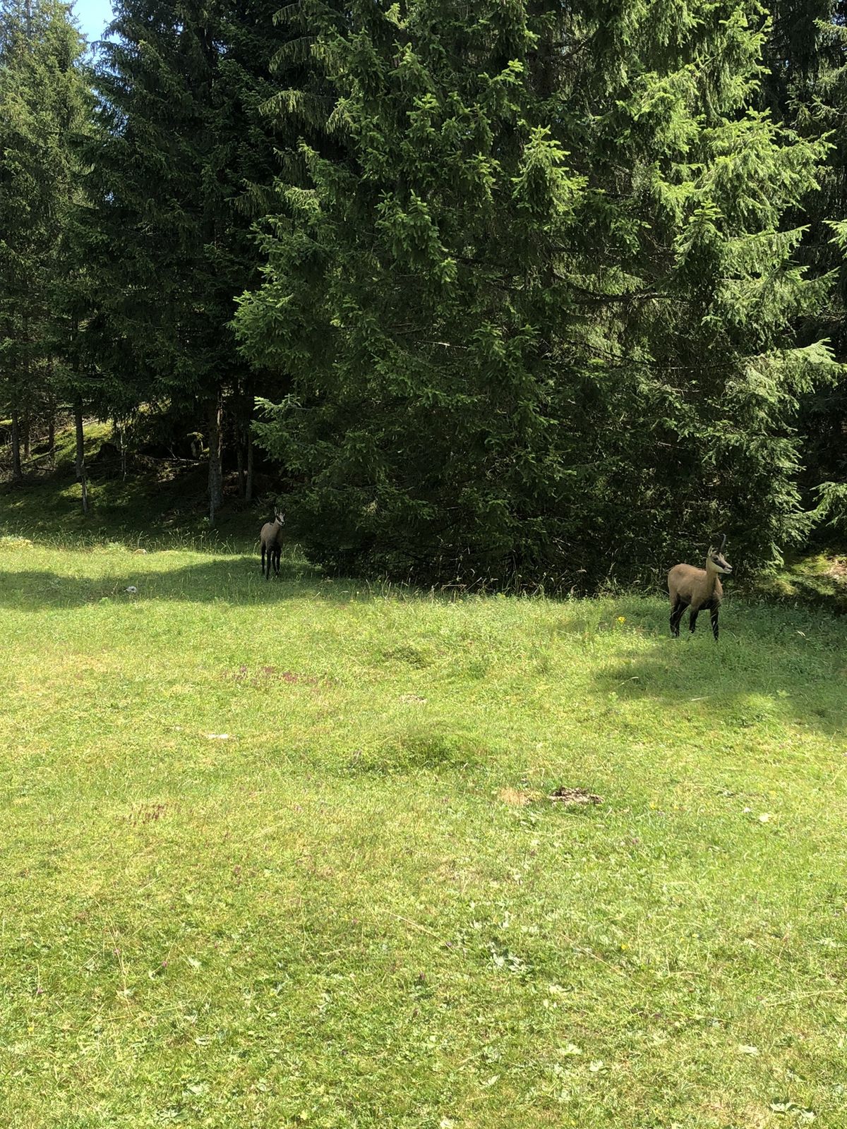
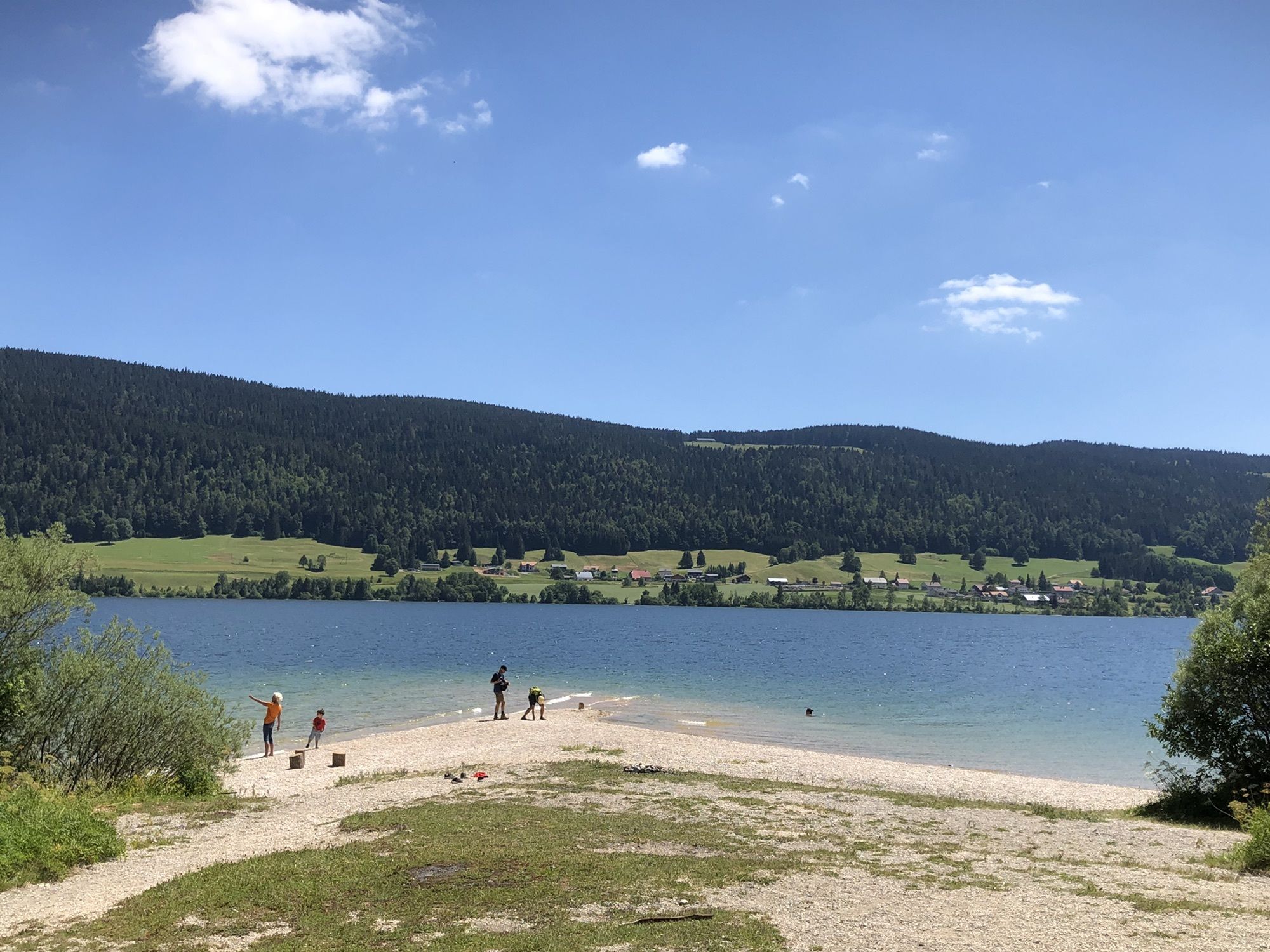
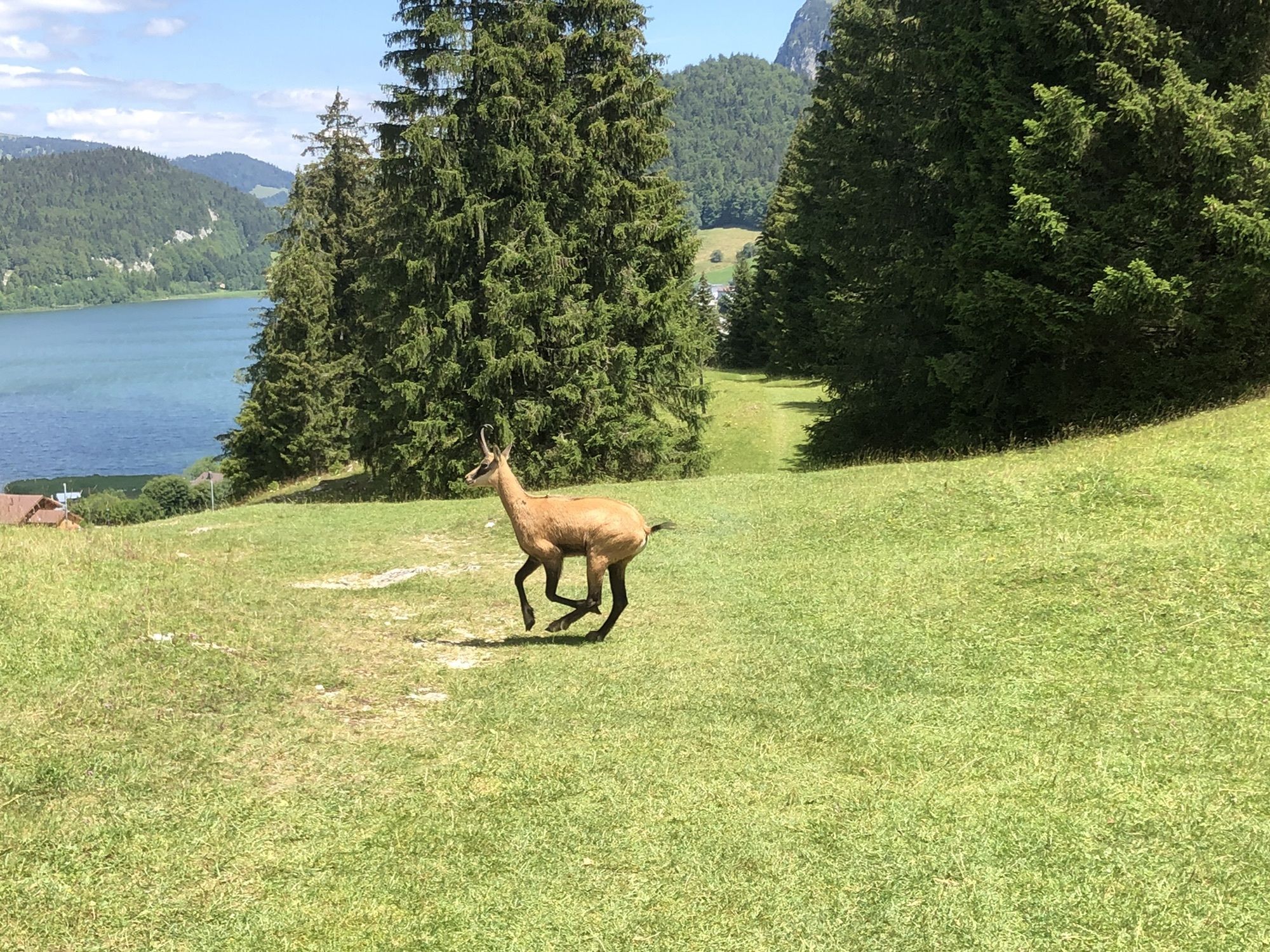
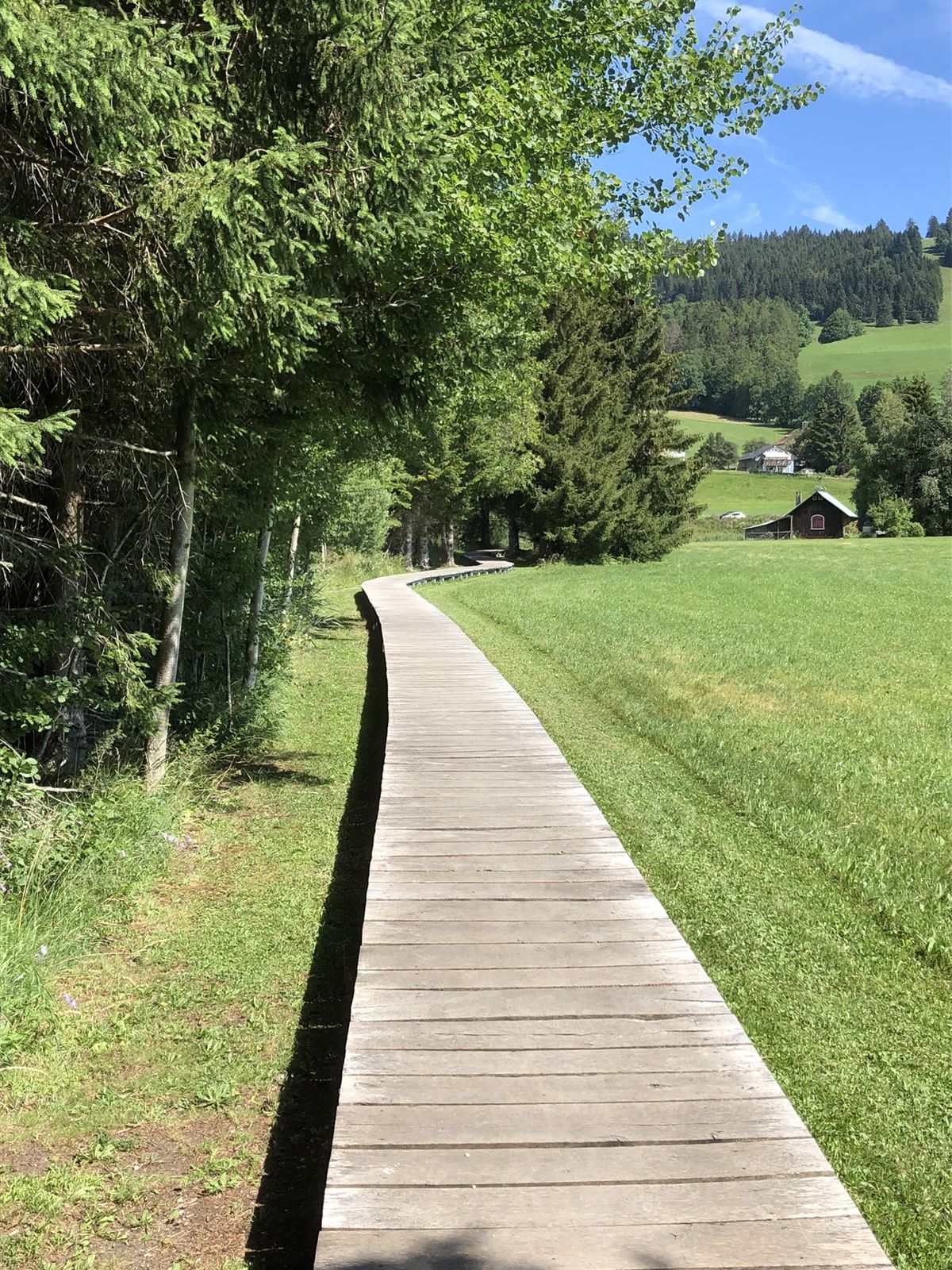
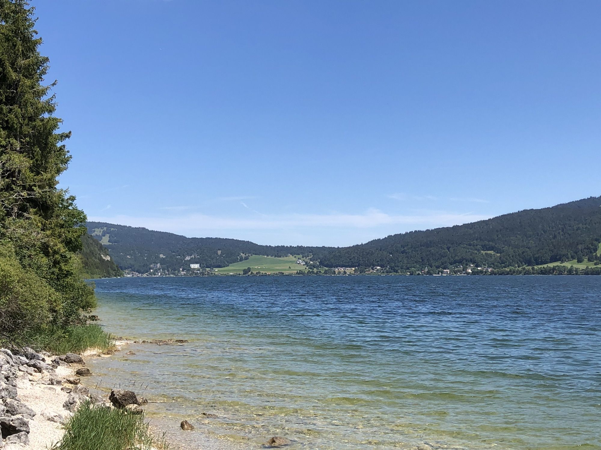
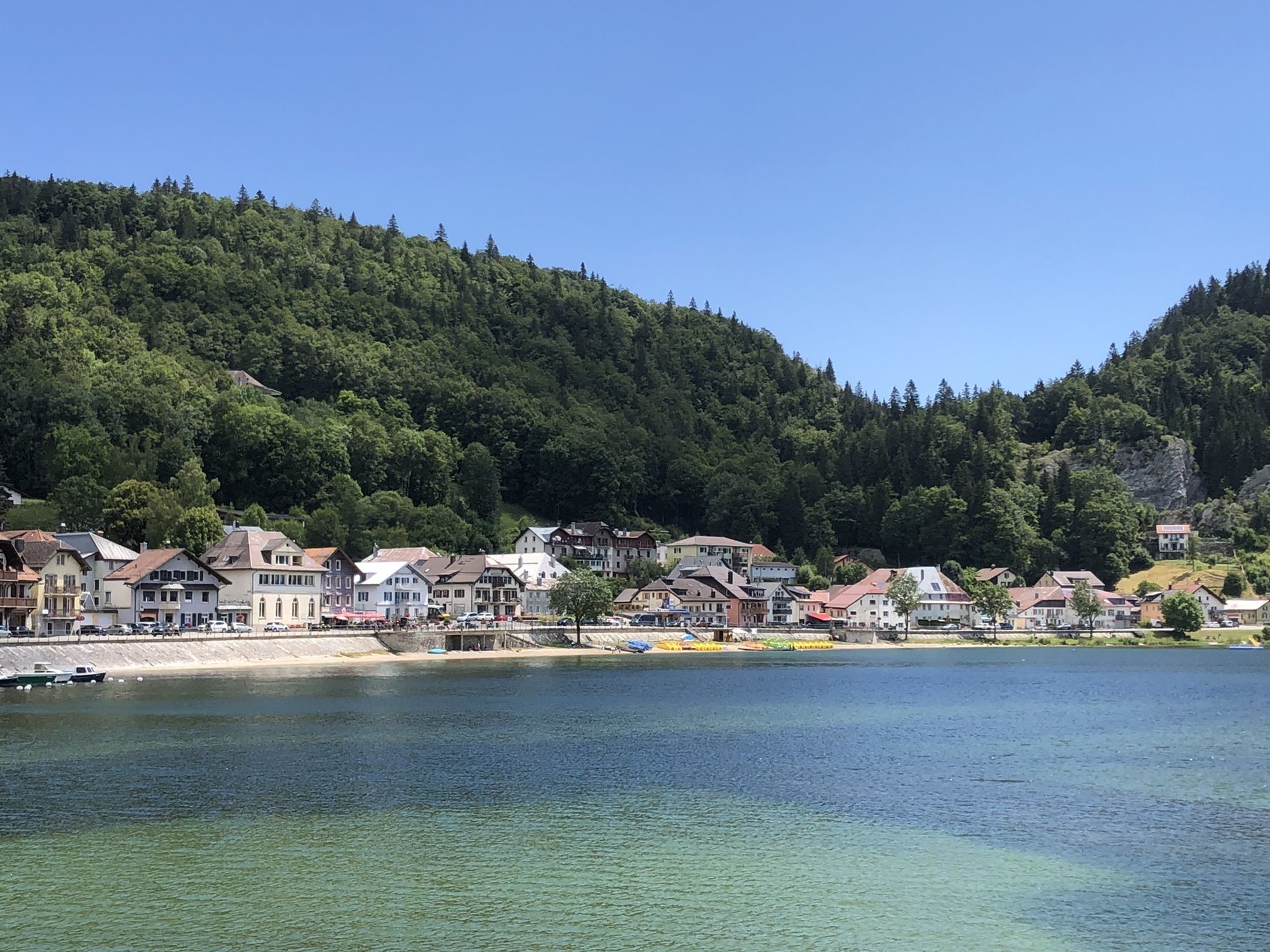
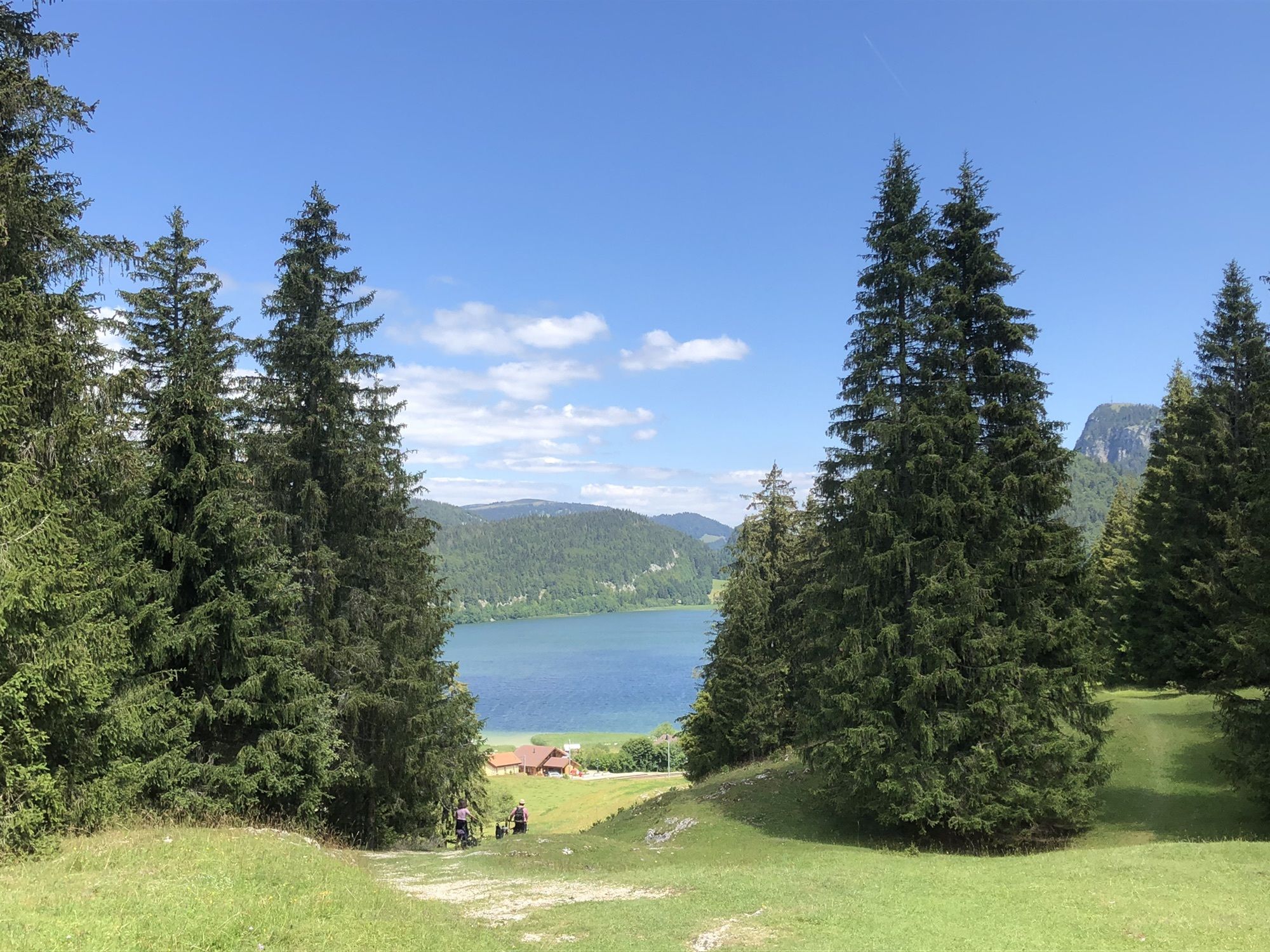
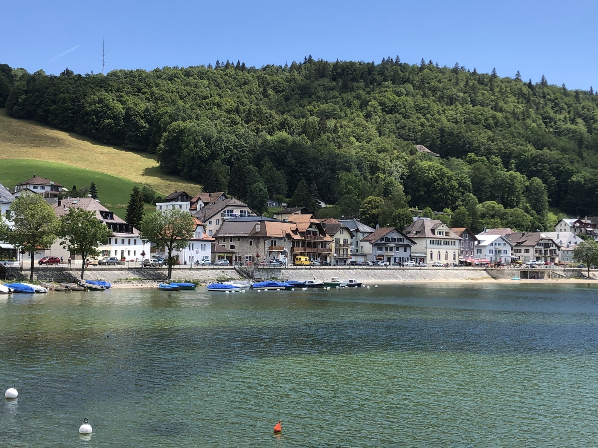
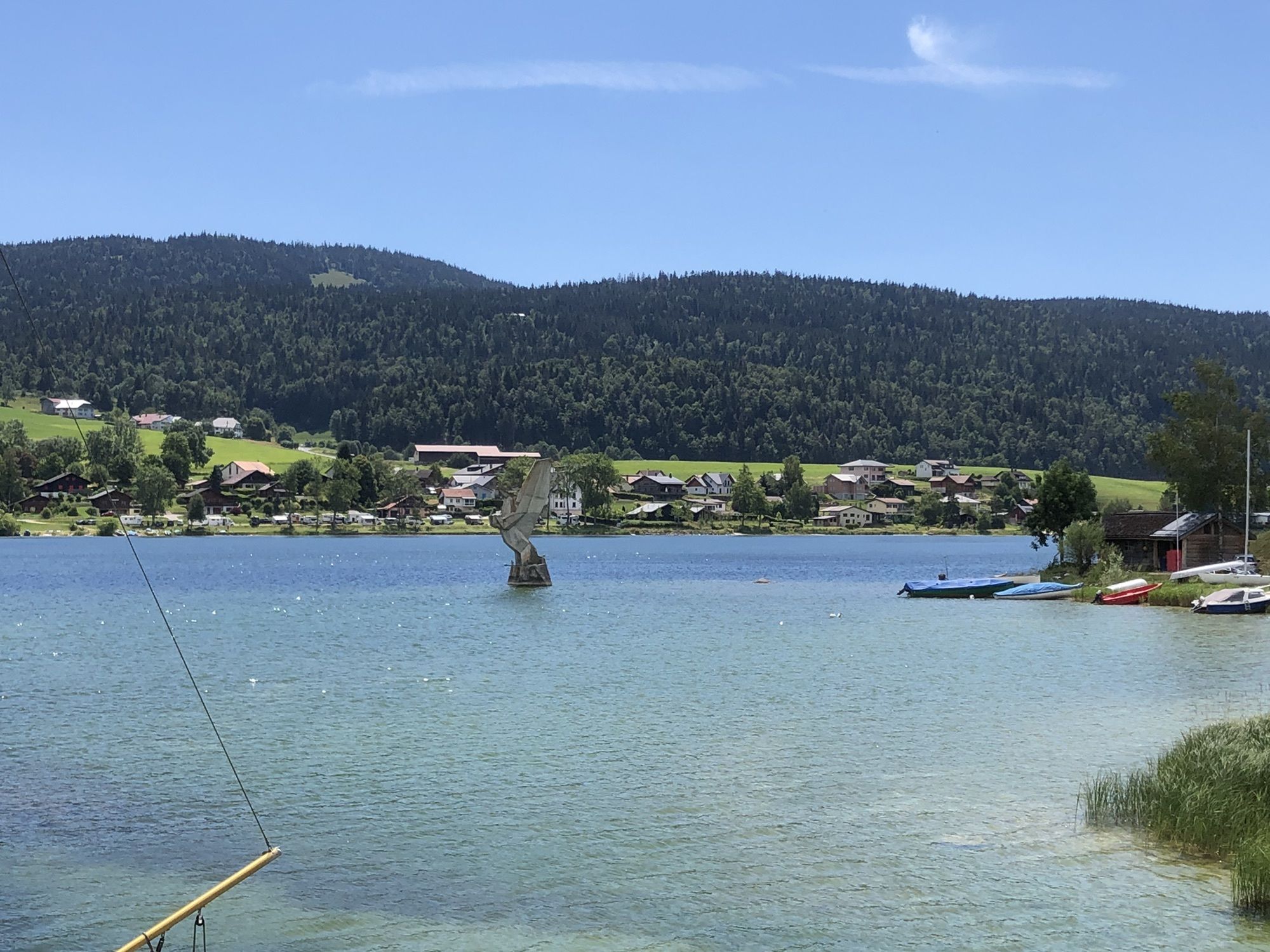
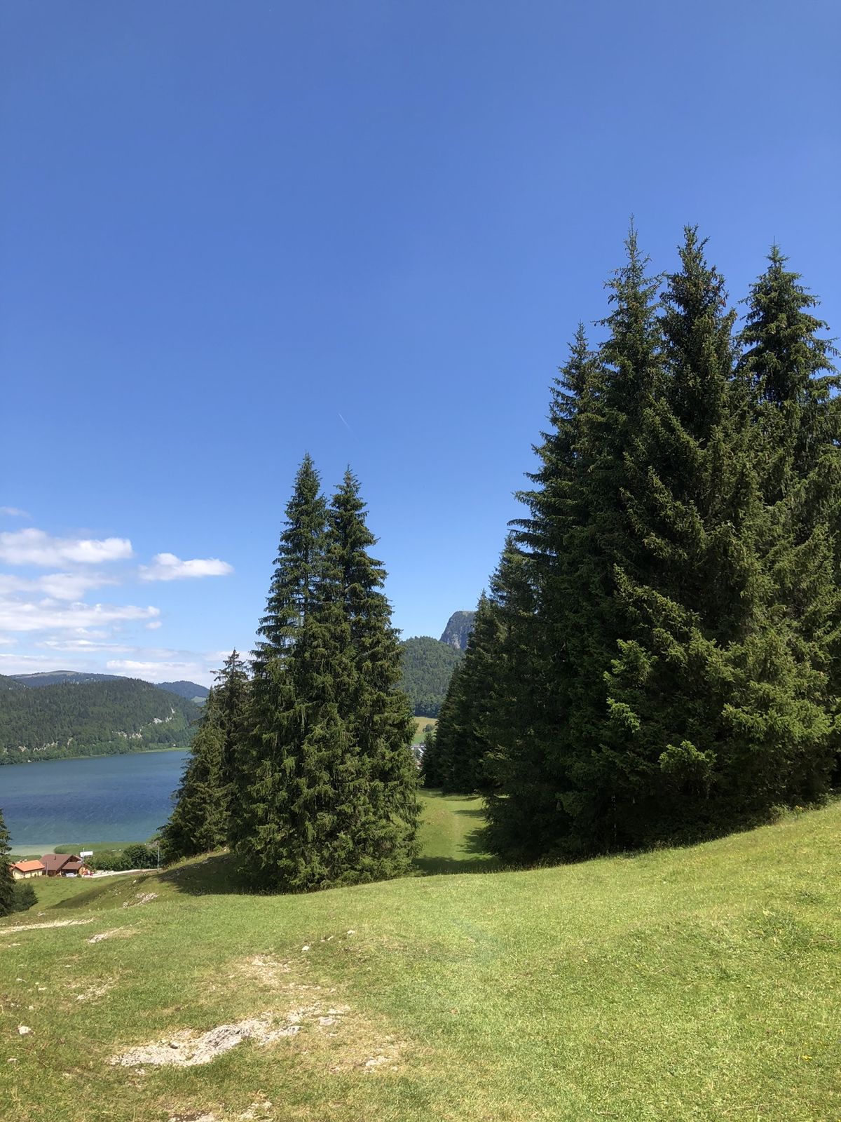
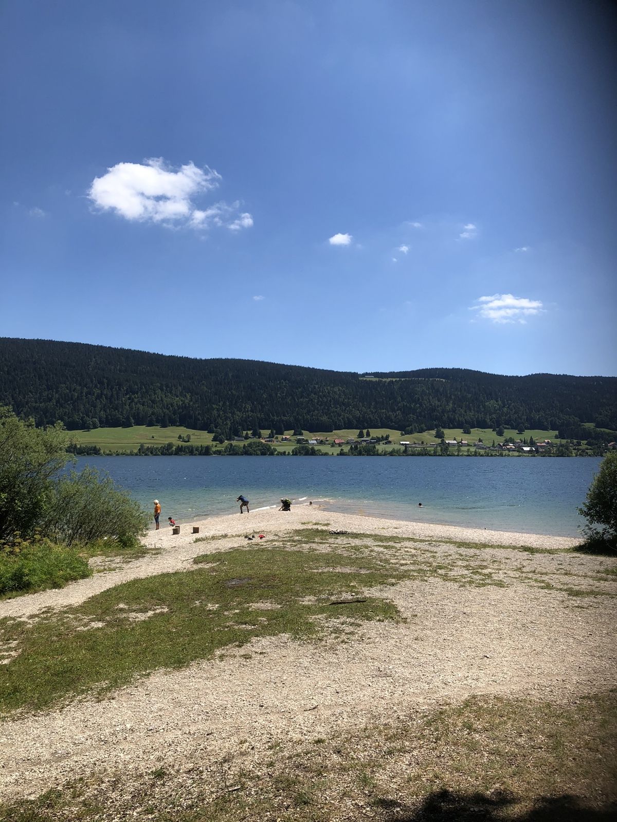
Itinéraire de randonnée entre Le Pont et Le Sentier. Jolies plages sauvages à découvrir
- Difficulty
-
easy
- Rating
-
- Route
-
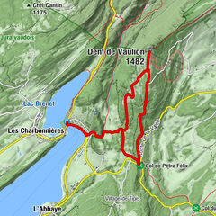
Le Pont (1,008 m)0.1 kmLe Pont (lac) (1,004 m)0.3 kmLes Epinettes0.5 kmLes Charbonnières1.0 kmLe Lieu4.7 kmEntonnoir du Prè Lionnet6.5 kmEntonnoirs du Rocheray8.1 kmBellevue Le Rocheray9.0 kmL'Orient12.2 kmLe Chenit12.7 kmLe Sentier13.0 km
- Best season
-
JanFebMarAprMayJunJulAugSepOctNovDec
- Highest point
- 1,096 m


GPS Downloads


Other tours in the regions

 und den Lac Brenet.")