© NIVEA Wandertour/Randonnées NIVEA - Schweizer Wanderwege / Suisse Rando

- Brief description
-
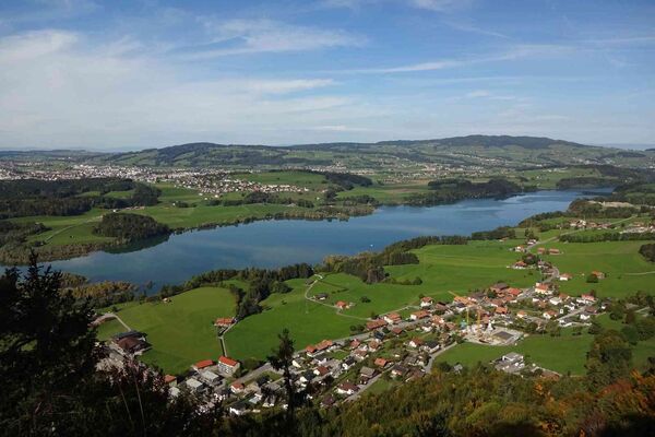
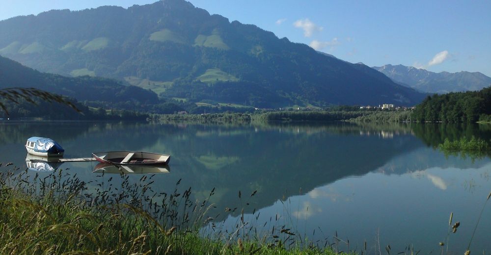
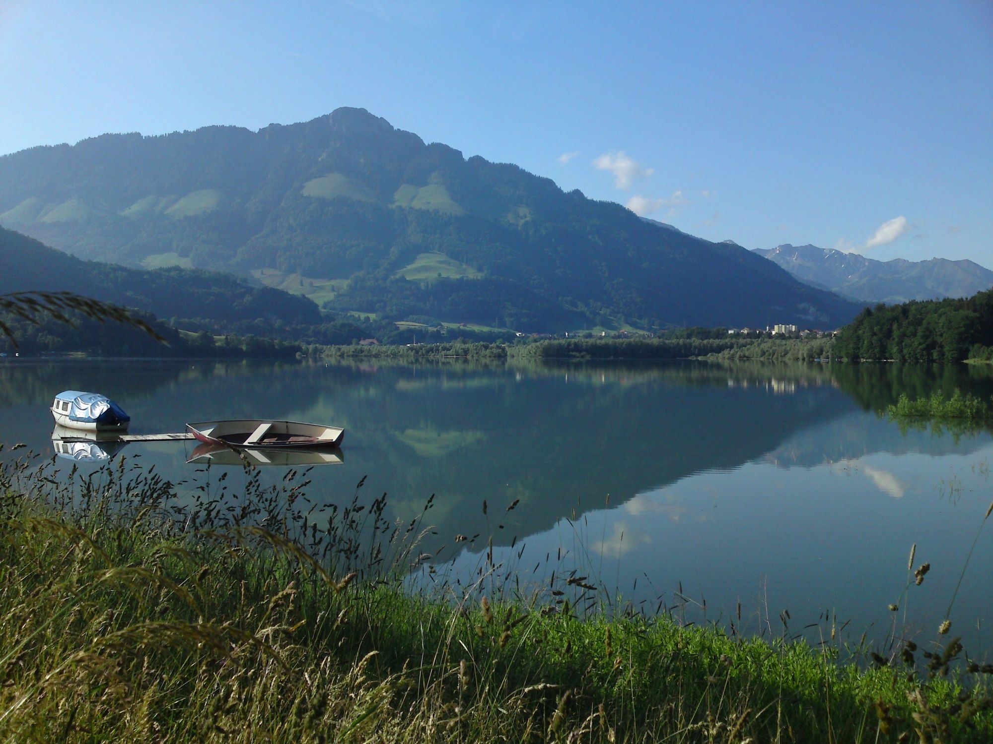
Naturerlebnis Greyerzersee
- Difficulty
-
medium
- Rating
-
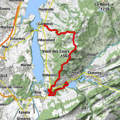
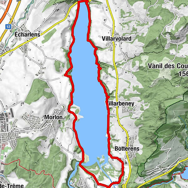
- Route
-
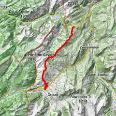
Morlon (751 m)3.6 kmBotterens7.6 kmVillarbeney9.2 km
- Best season
-
JanFebMarAprMayJunJulAugSepOctNovDec
- Highest point
- 713 m
- Endpoint
-
Pont de Corbières
- Height profile
-
 © outdooractive.com
- Author
-
The tour Route Corbières – Corbières is used by outdooractive.com provided.
GPS Downloads


General info
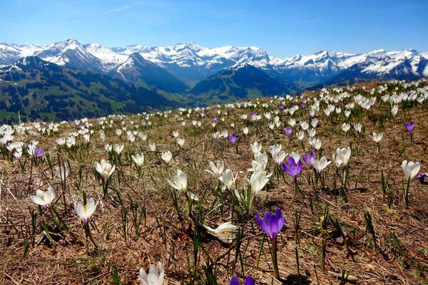
A lot of view
Other tours in the regions
-
Region Murtensee & Broye
575
-
La Gruyère
306
-
Botterens
42