© Tourenplaner SCHWEIZ - Region Solothurn Tourismus, Henry Oehrli

© Tourenplaner SCHWEIZ - Region Solothurn Tourismus

© Tourenplaner SCHWEIZ - Region Solothurn Tourismus

© Tourenplaner SCHWEIZ - Region Solothurn Tourismus, Henry Oehrli

© Tourenplaner SCHWEIZ - Jochen Ihle

© Tourenplaner SCHWEIZ - Jochen Ihle

© Tourenplaner SCHWEIZ - Region Solothurn Tourismus, Henry Oehrli

© Tourenplaner SCHWEIZ - Region Solothurn Tourismus

© Tourenplaner SCHWEIZ - Jochen Ihle

© Tourenplaner SCHWEIZ - Jochen Ihle
- Brief description
-
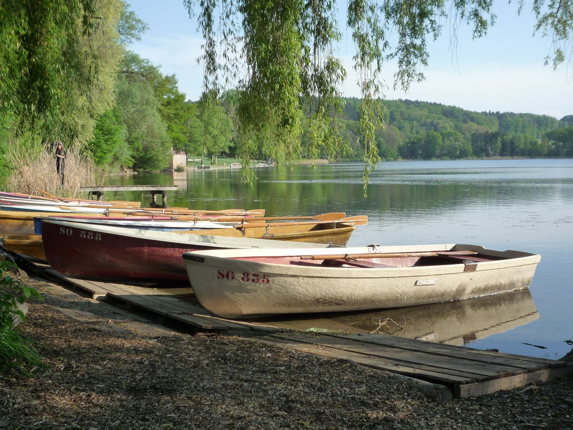
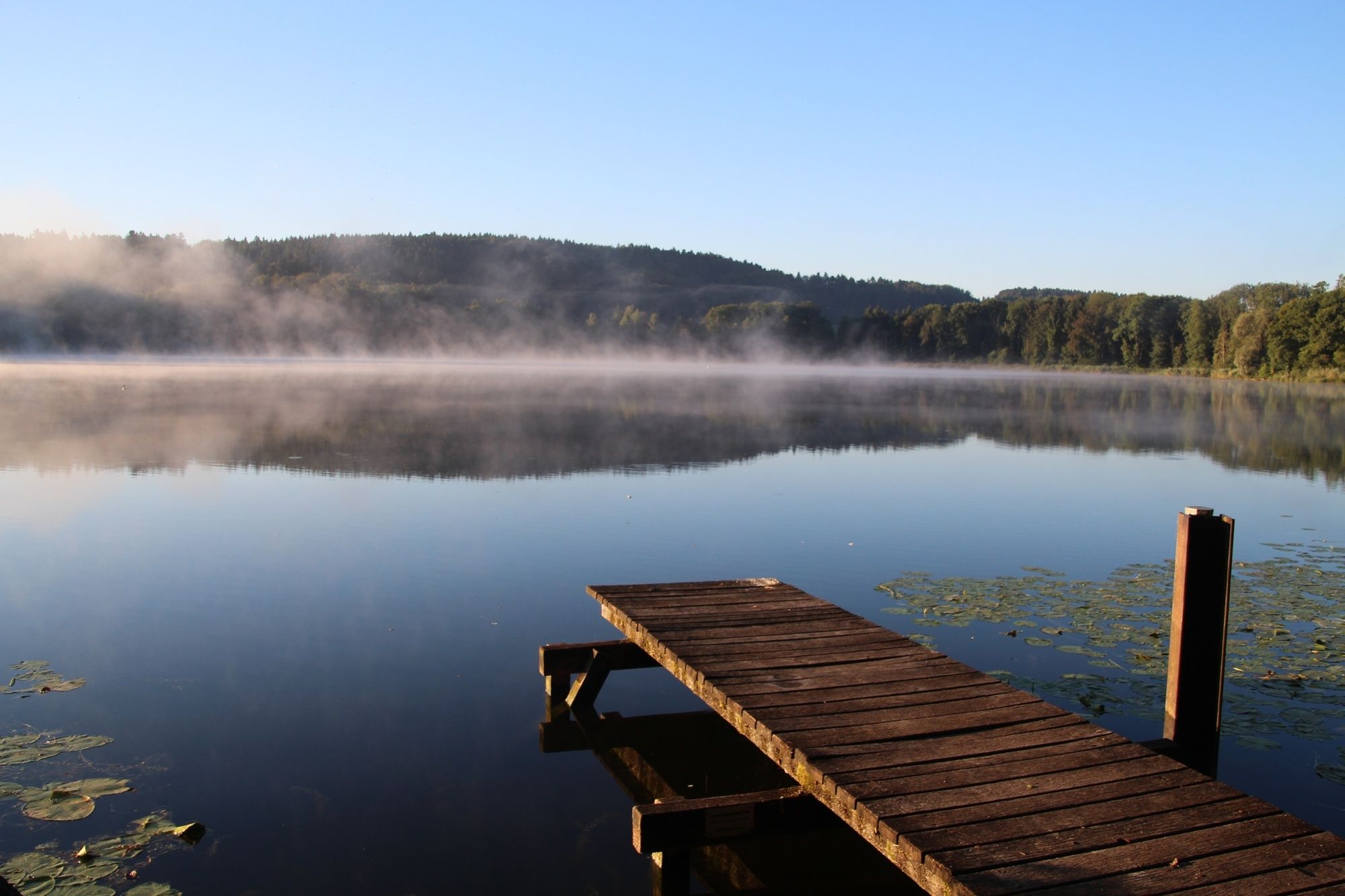
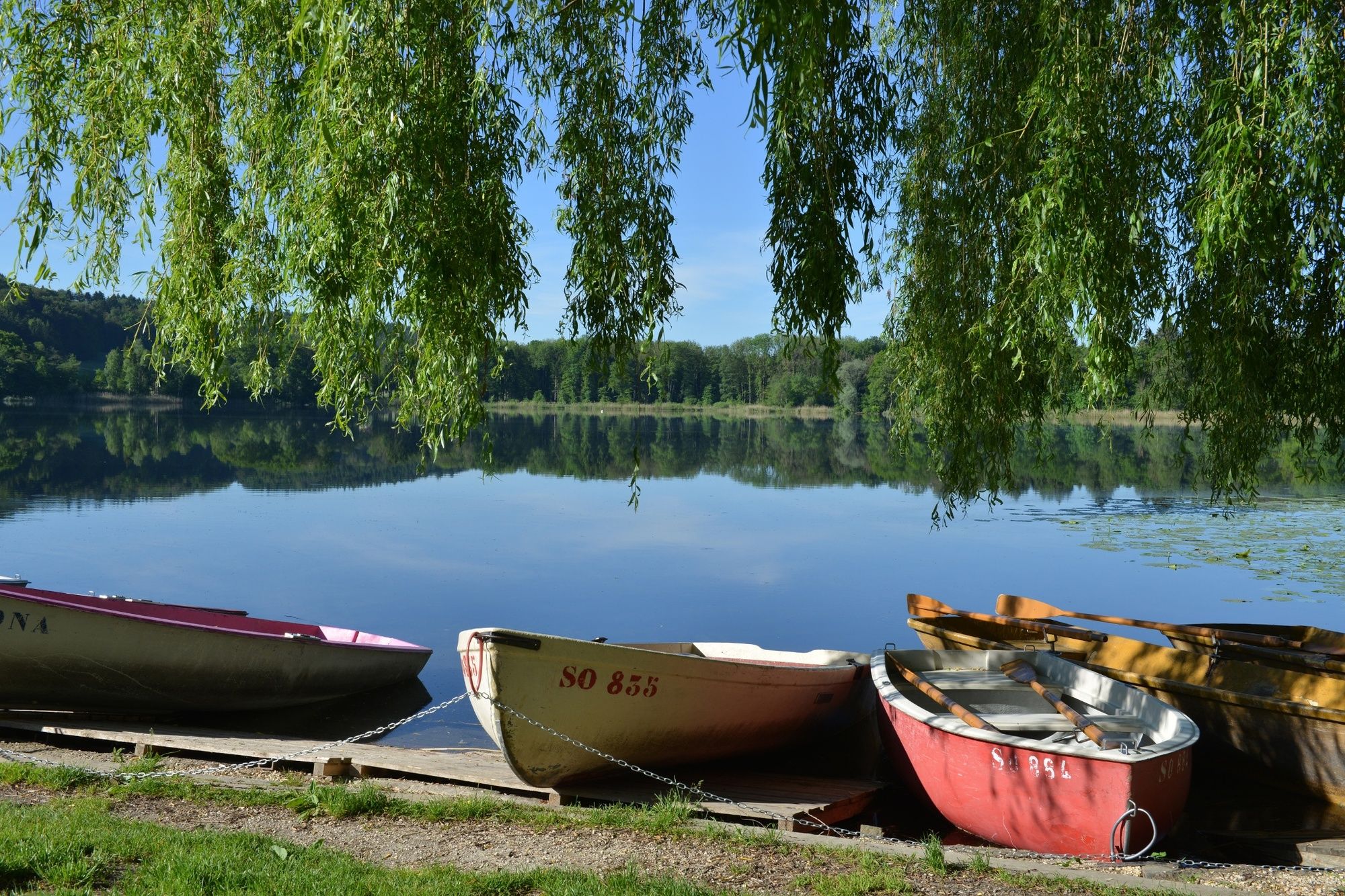
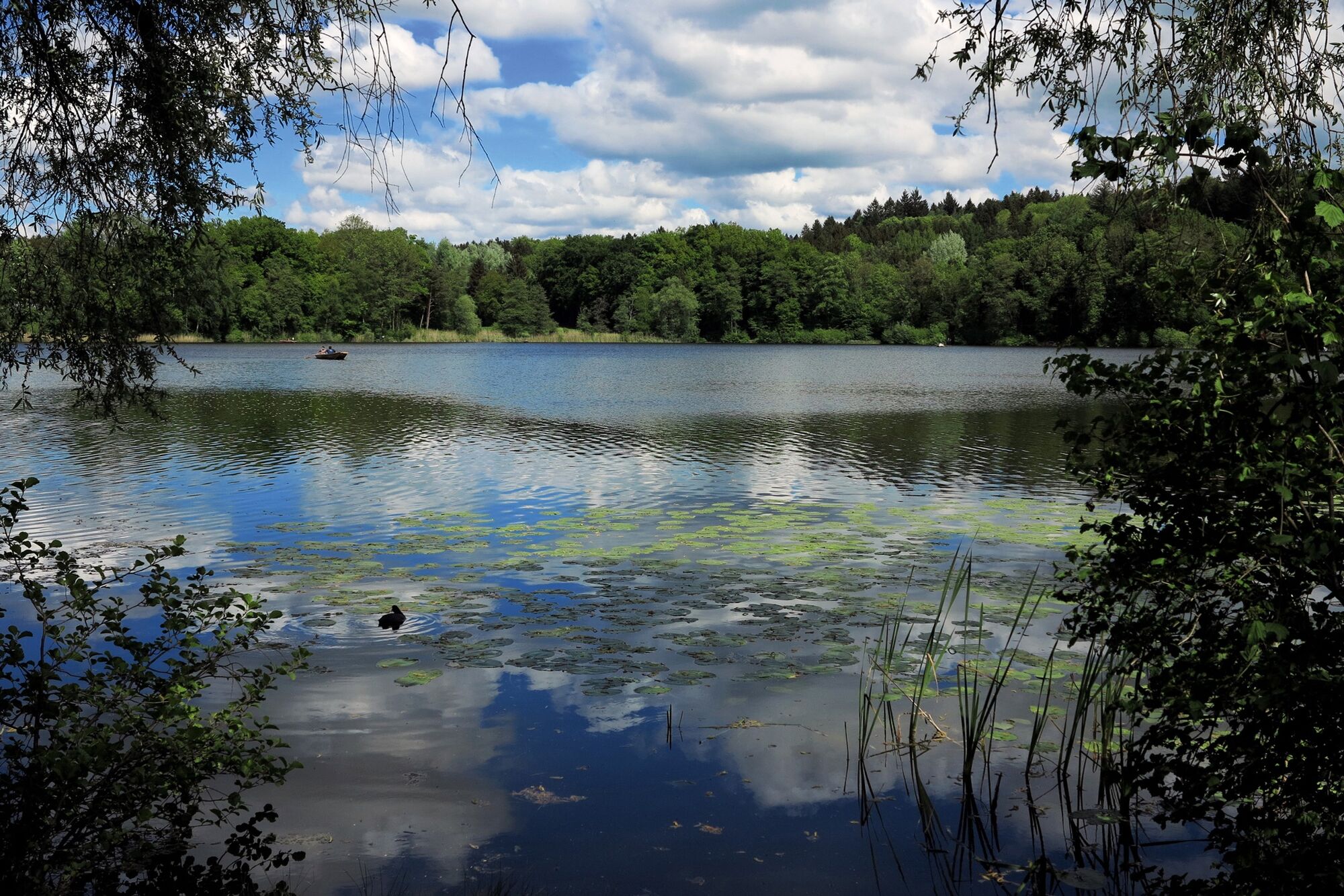
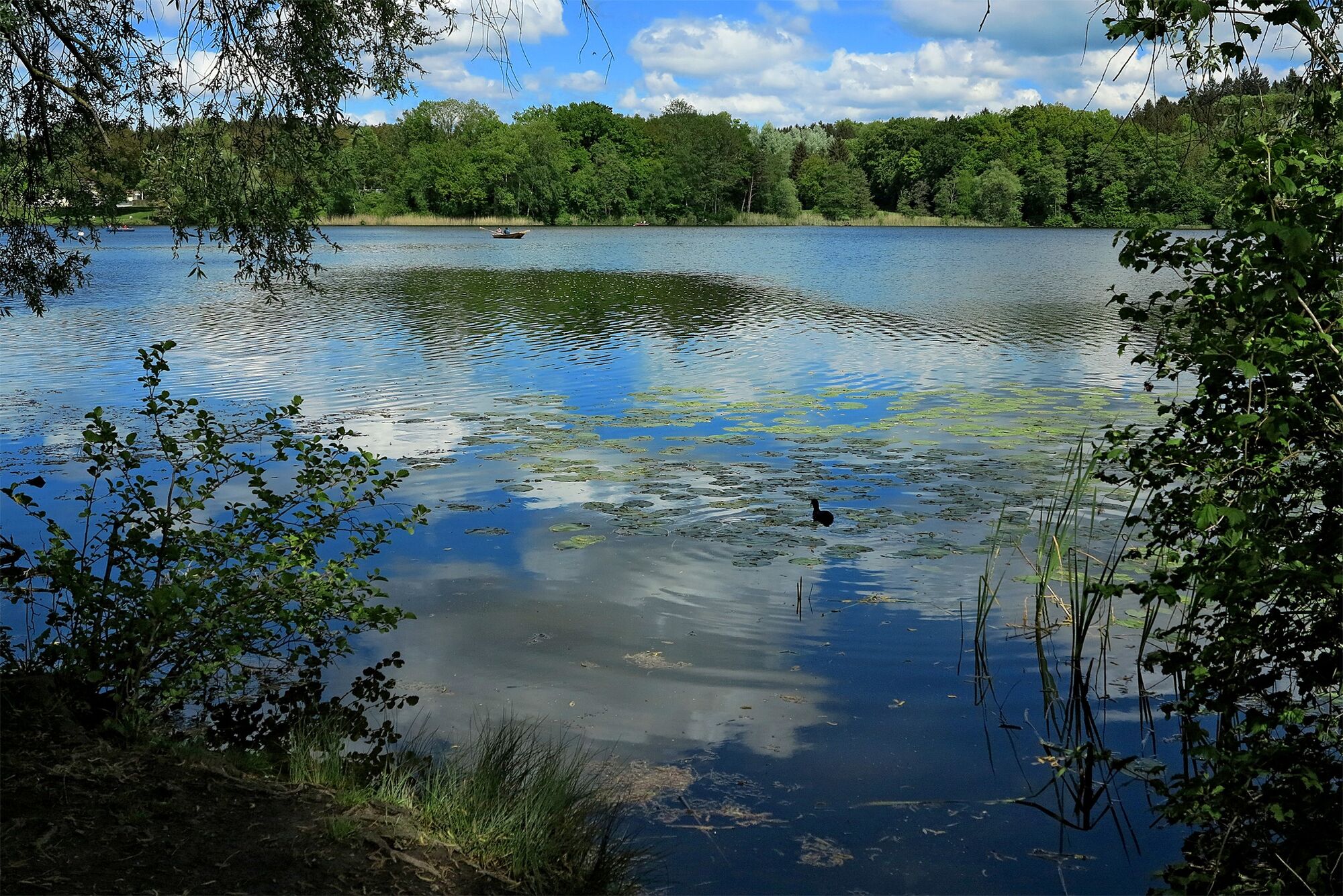
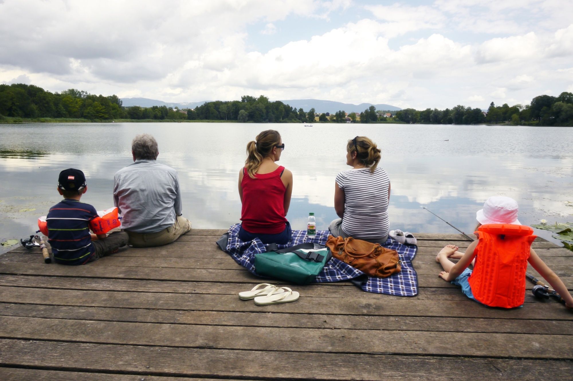
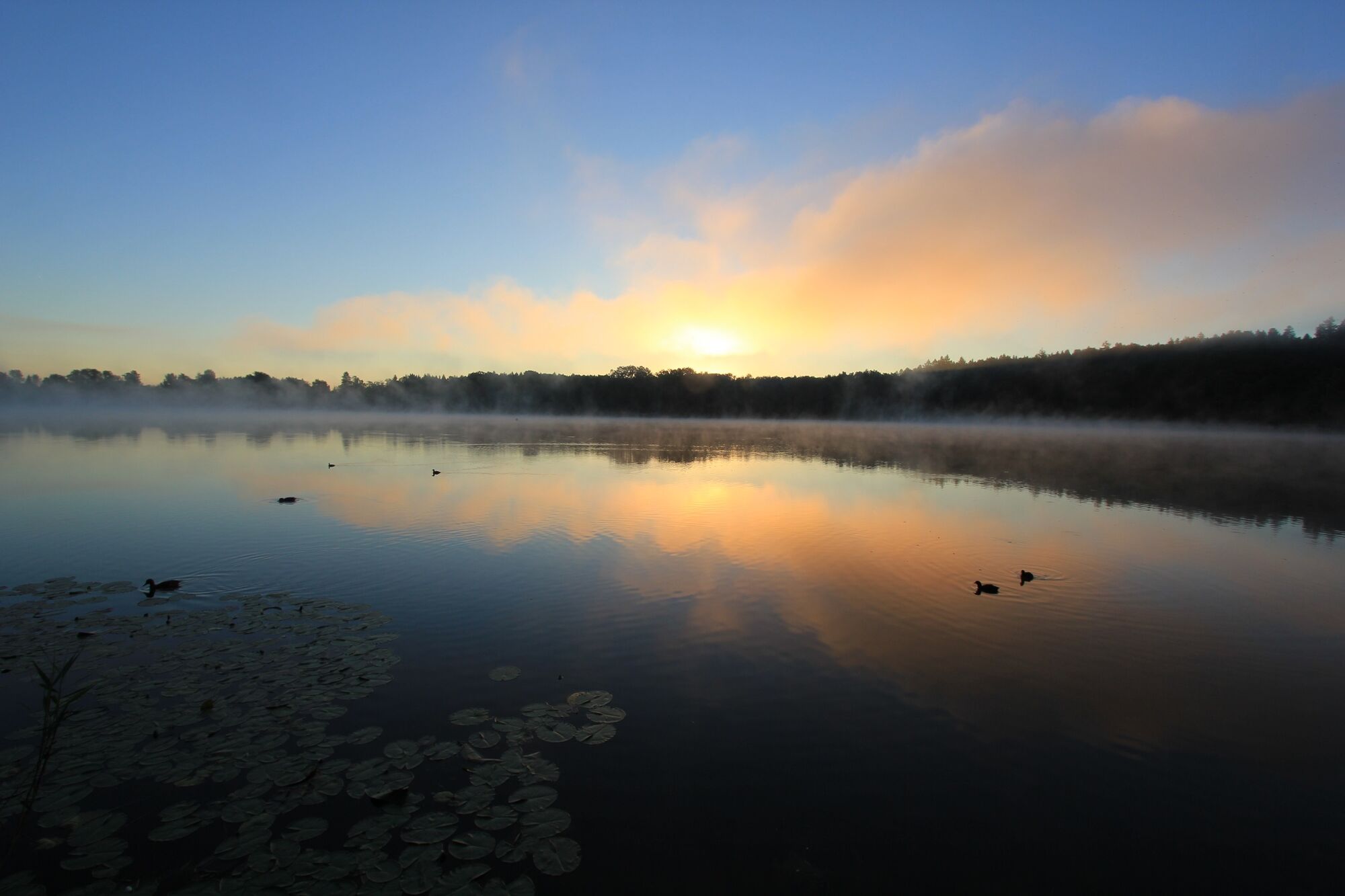
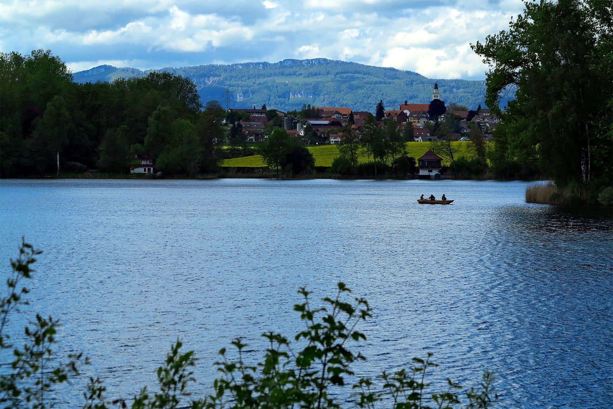
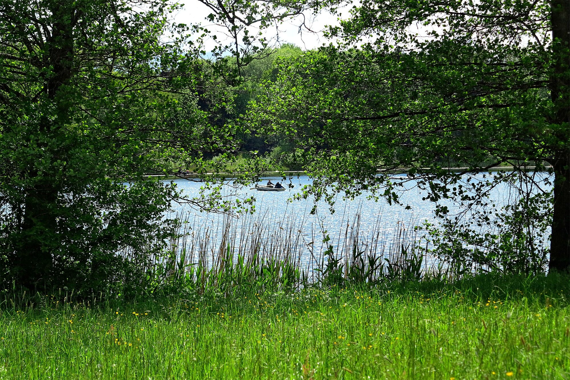
Diese Wanderung führt von Solothurn durch das von Land- und Wasserwirtschaft geprägte Wasseramt bis an den beliebten Burgäschisee, der im Sommer gar zum Baden einlädt.
- Difficulty
-
medium
- Rating
-
- Starting point
-
Solothurn, main station
- Route
-
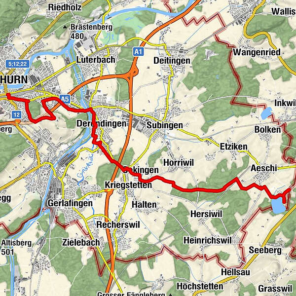
Solothurn (432 m)Fatih-Moschee0.2 kmKijuzu0.8 kmZuchwil (433 m)3.5 kmDerendingen (439 m)5.9 kmAllerheiligen7.0 kmOekingen (450 m)9.1 kmKriegstetten (453 m)9.2 kmAussenackerhof10.2 kmSeeblick15.5 km
- Best season
-
JanFebMarAprMayJunJulAugSepOctNovDec
- Description
-
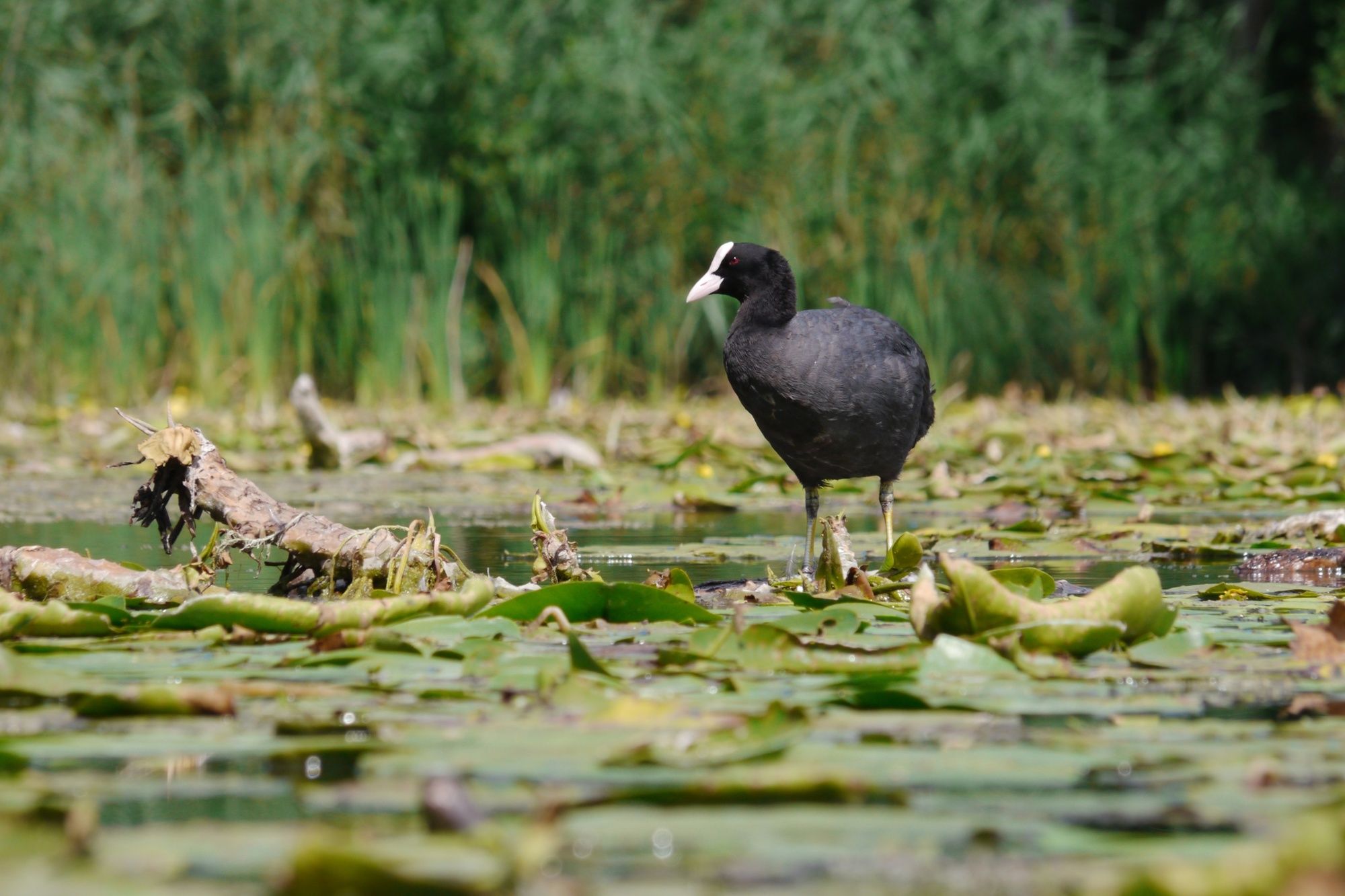
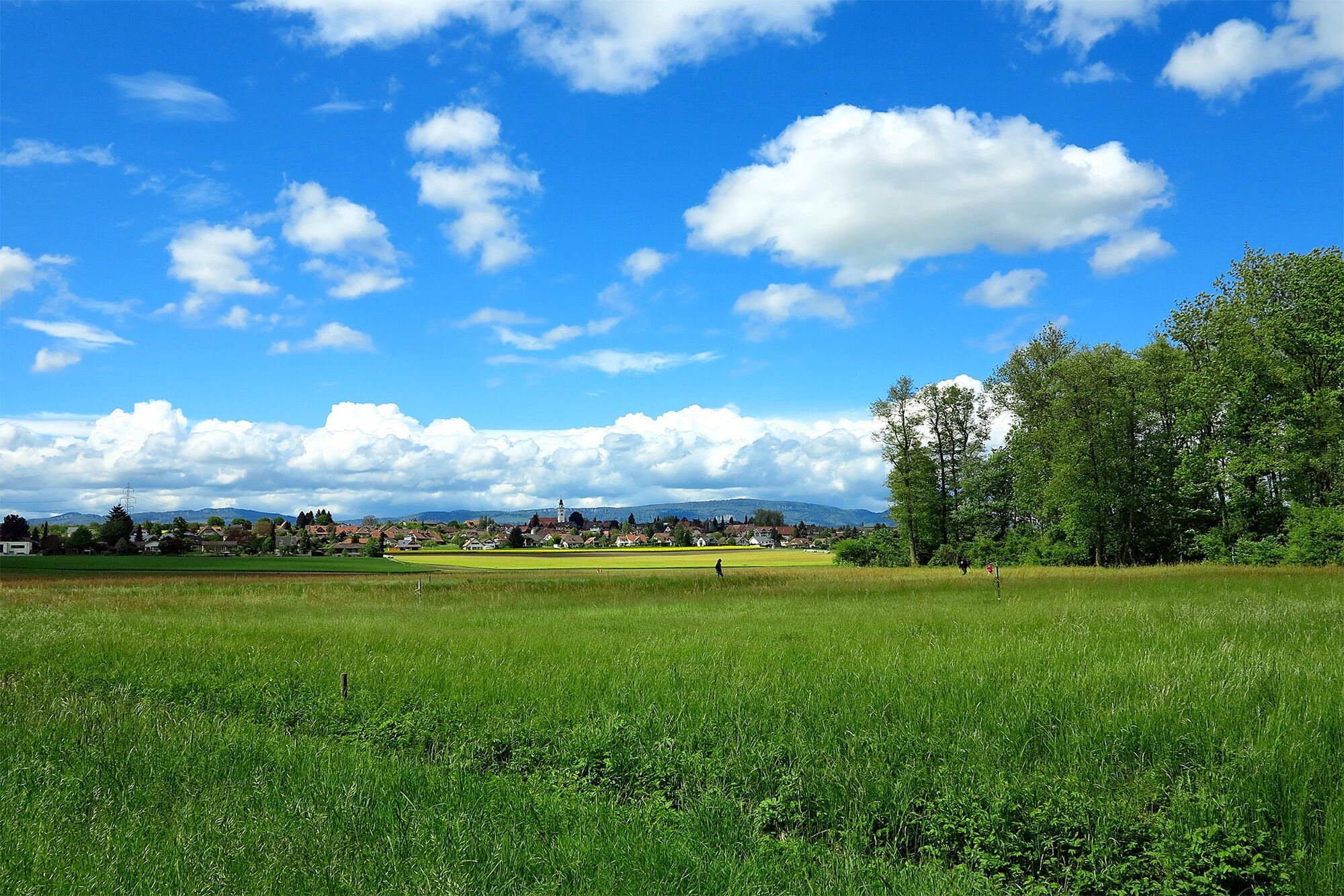
Hike over the Bleichenberg with its lovely little castle and through the Wasseramt, an area characterised by agriculture and water management. On the way you will pass by witnesses of a bygone era, such as the Emmen Canal and a number of retaining and controlling weirs. The crowning glory is surely the Burgäschisee, an inviting place to bathe in summer.
See also
Region Solothurn Tourismus
Hauptgasse 69
CH-4500 Solothurn
Tel: +41 (0)32 626 46 46
Fax: +41 (0)32 626 46 47
Internet: www.solothurn-city.ch
E-Mail: info@solothurn-city.ch - Directions
-
Solothurn - Bleichenberg - Waldegg - Derendingen - Eichholz - Oekingen - Buechwald - Aeschi - Burgäschi
- Highest point
- 508 m
- Endpoint
-
Burgäschi/Burgäschisee
- Height profile
-
 © outdooractive.com

-

-
AuthorThe tour Right through the Wasseramt is used by outdooractive.com provided.
GPS Downloads


General info
Refreshment stop
Cultural/Historical
Flora
Fauna
A lot of view
Other tours in the regions
-
Solothurn und Region
1453
-
Wasseramt
677
-
Kriegstetten
199