- Brief description
-
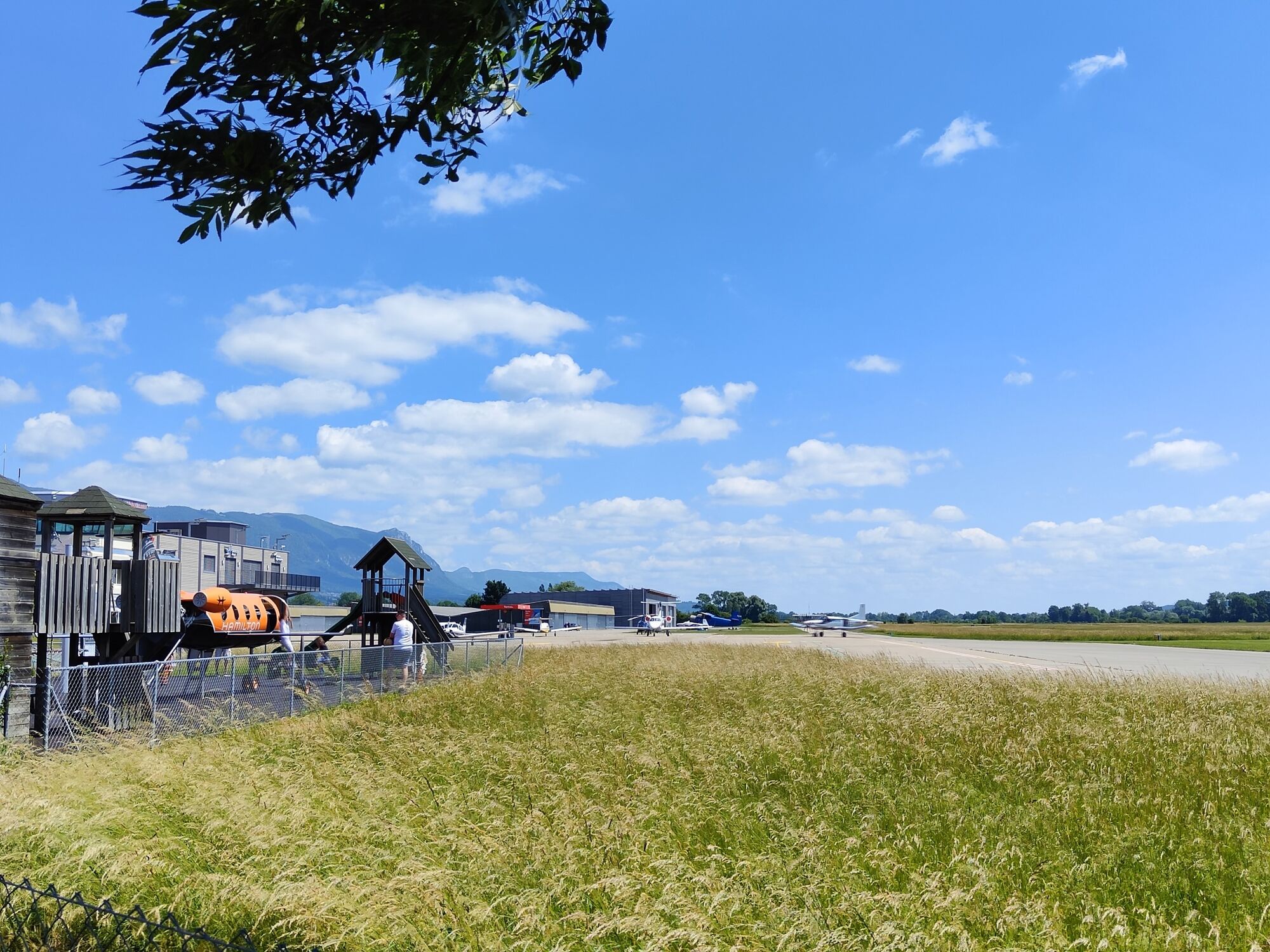
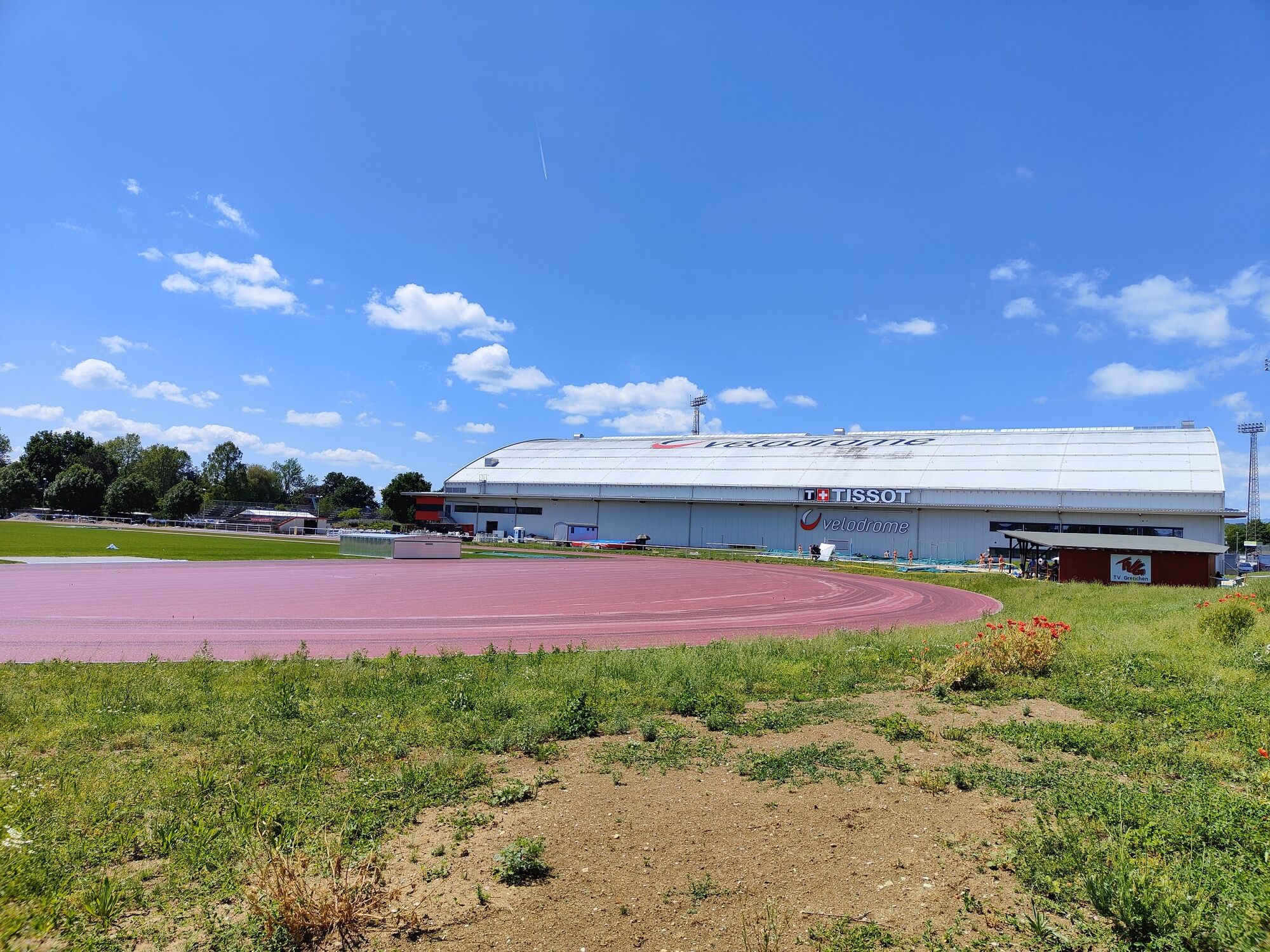
For high-flyers and dino hunters: this leisurely circuit takes you past Grenchen airport, the velodrome and a pump track. And at the quarry in Lommiswil, you’ll even come across some dinosaur tracks.
- Difficulty
-
medium
- Rating
-
- Starting point
-
Solothurn main station north side, SwitzerlandMobility info point
- Route
-
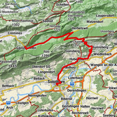
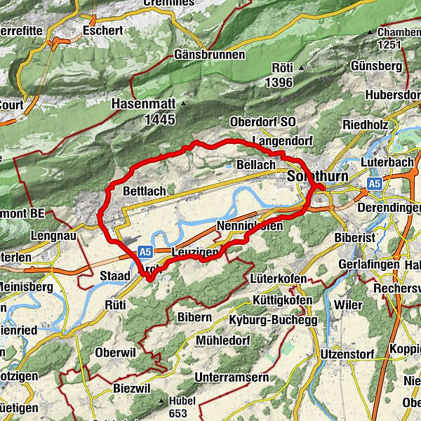
Solothurn (430 m)0.3 kmAaregarten0.5 kmSolothurn (428 m)0.7 kmHunnenberg (490 m)2.3 kmLüsslingen (439 m)3.8 kmNennigkofen (456 m)4.8 kmEymatt6.0 kmLeuzigen (456 m)8.5 kmRössli8.6 kmArch (450 m)11.9 kmGrenchen (451 m)16.0 kmPassage16.4 kmFuchsenwald22.8 kmLamm24.5 kmPizzeria Bella Terrace Lommiswil24.5 kmSt. Germann24.6 kmLangendorf (496 m)28.1 kmSolothurn (430 m)31.2 km
- Best season
-
JanFebMarAprMayJunJulAugSepOctNovDec
- Description
-
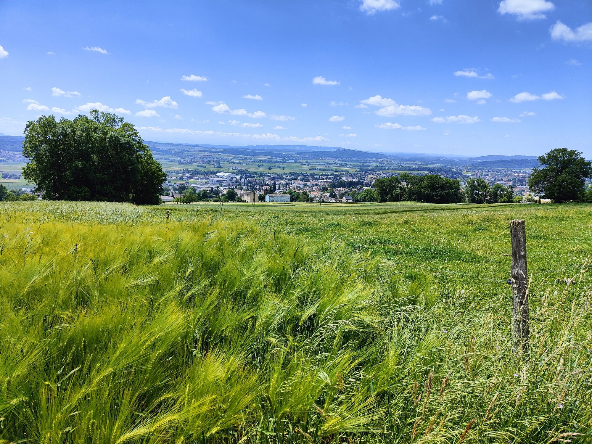
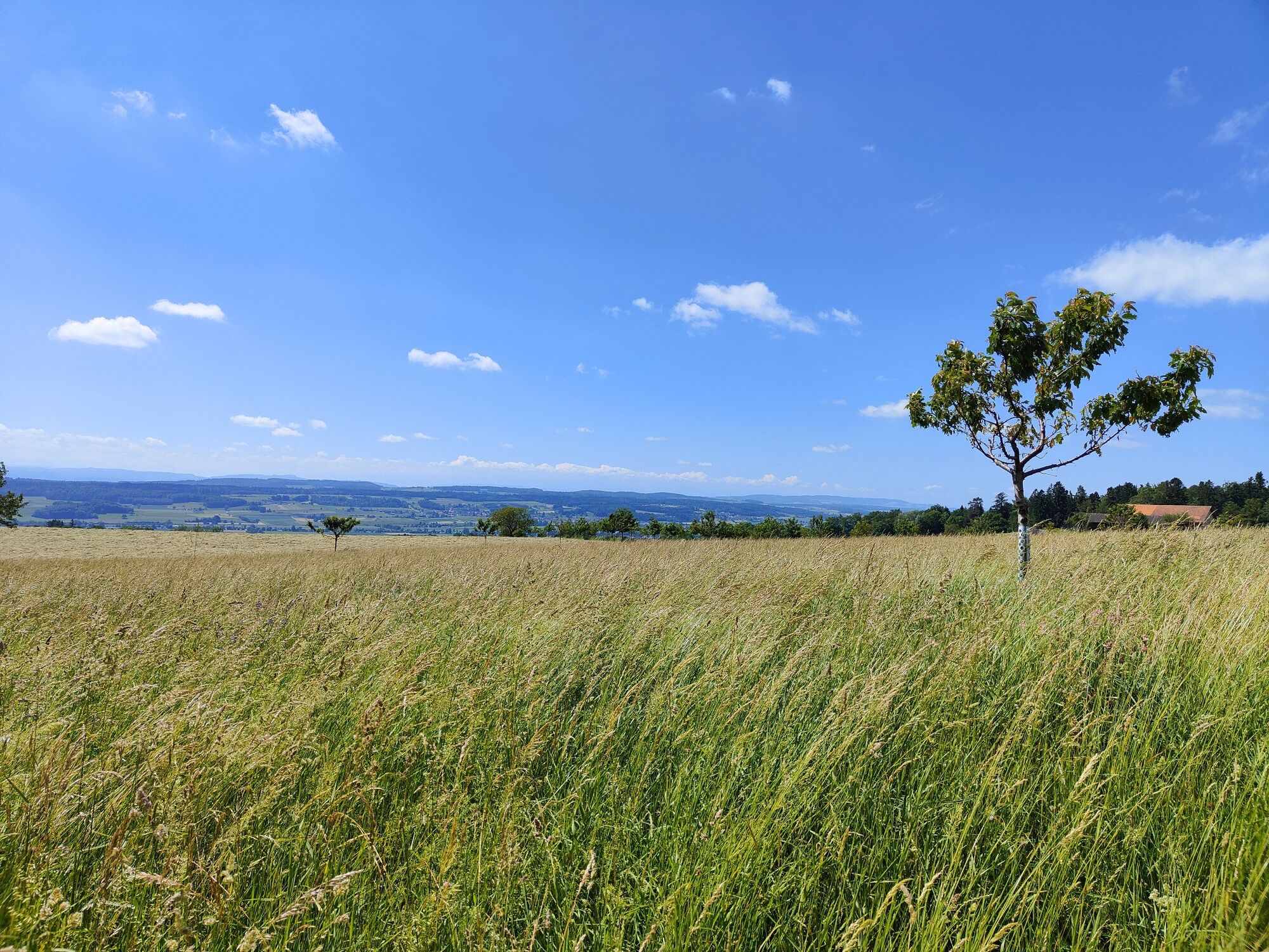
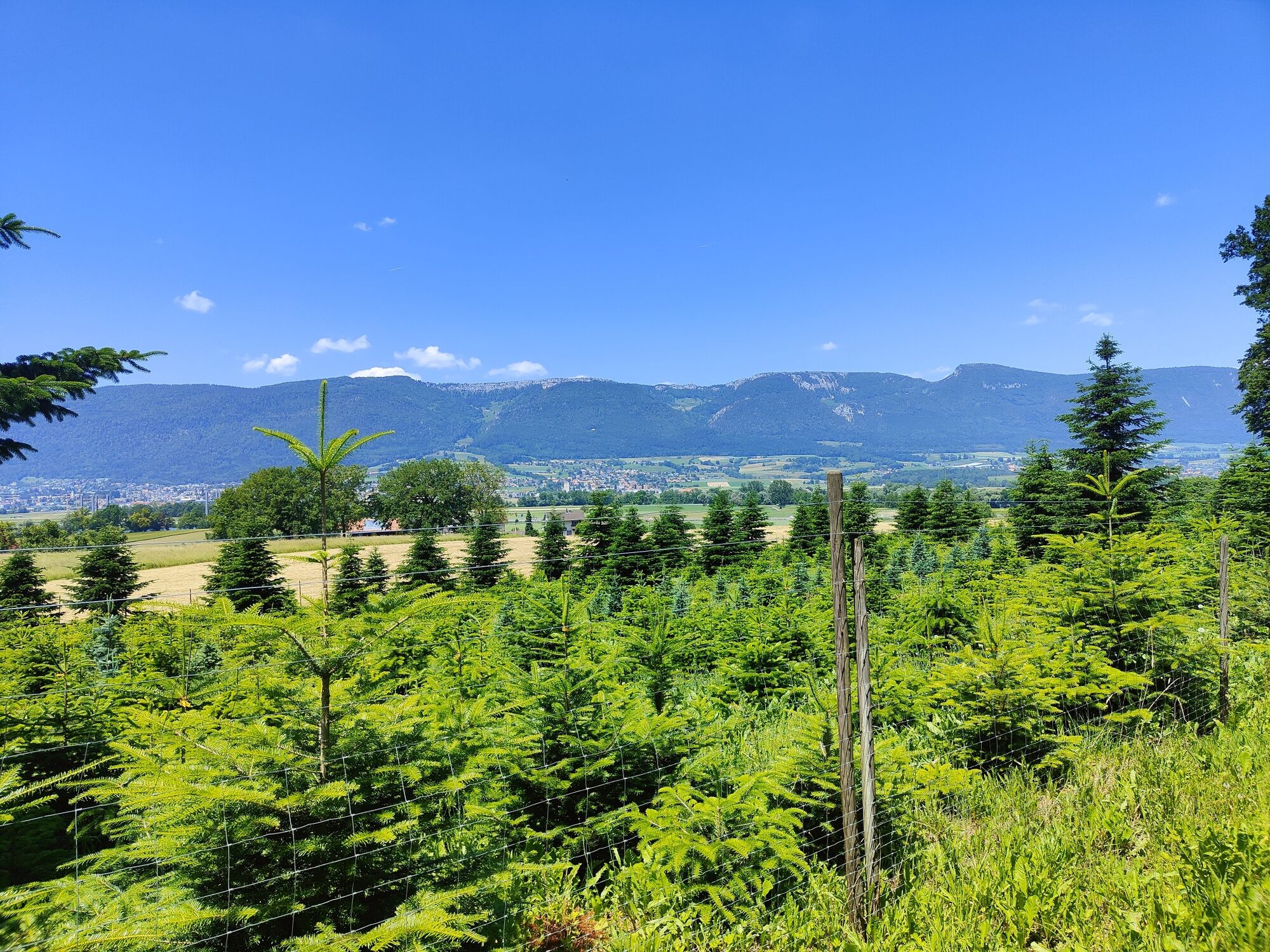
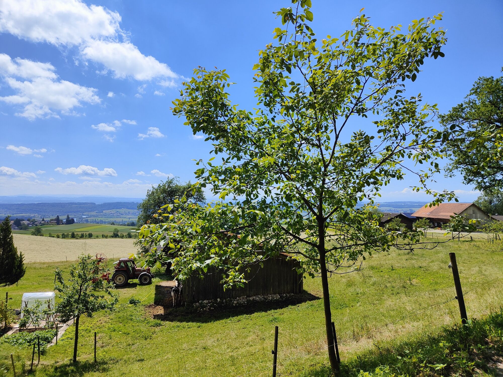
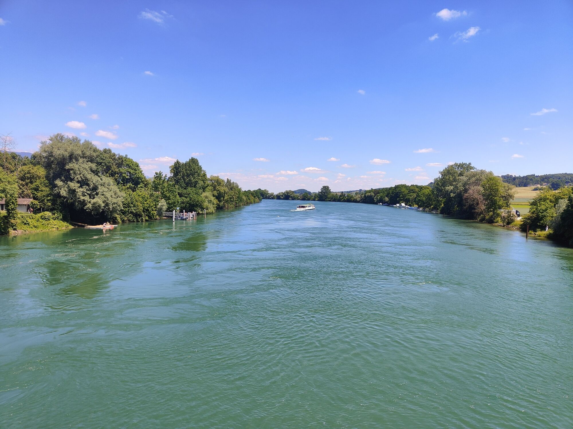
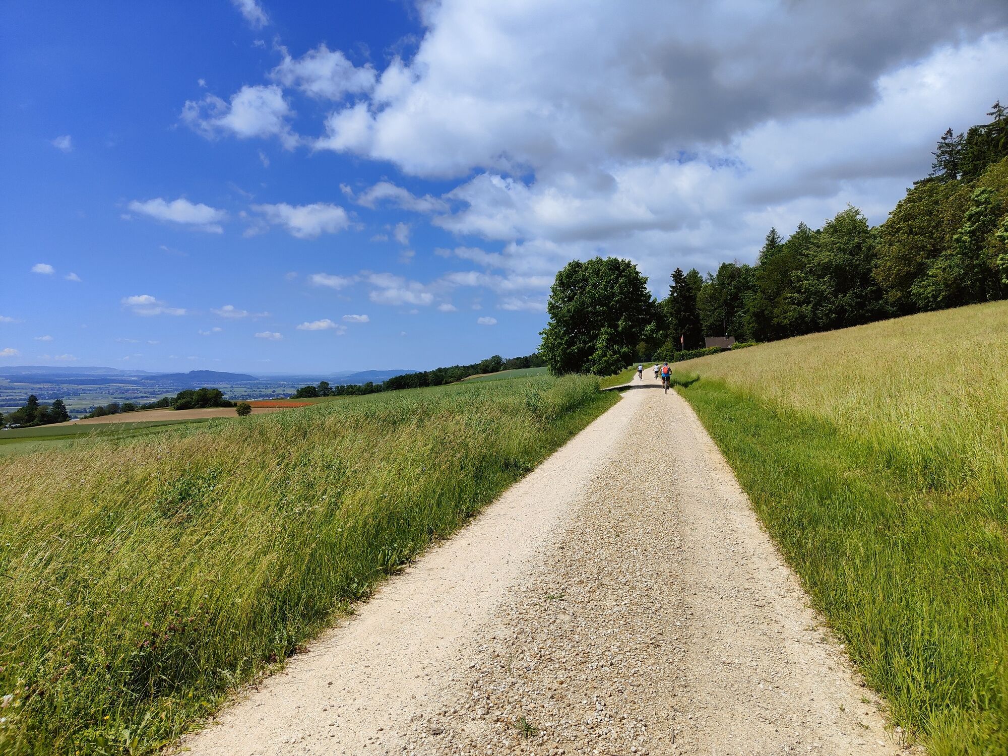
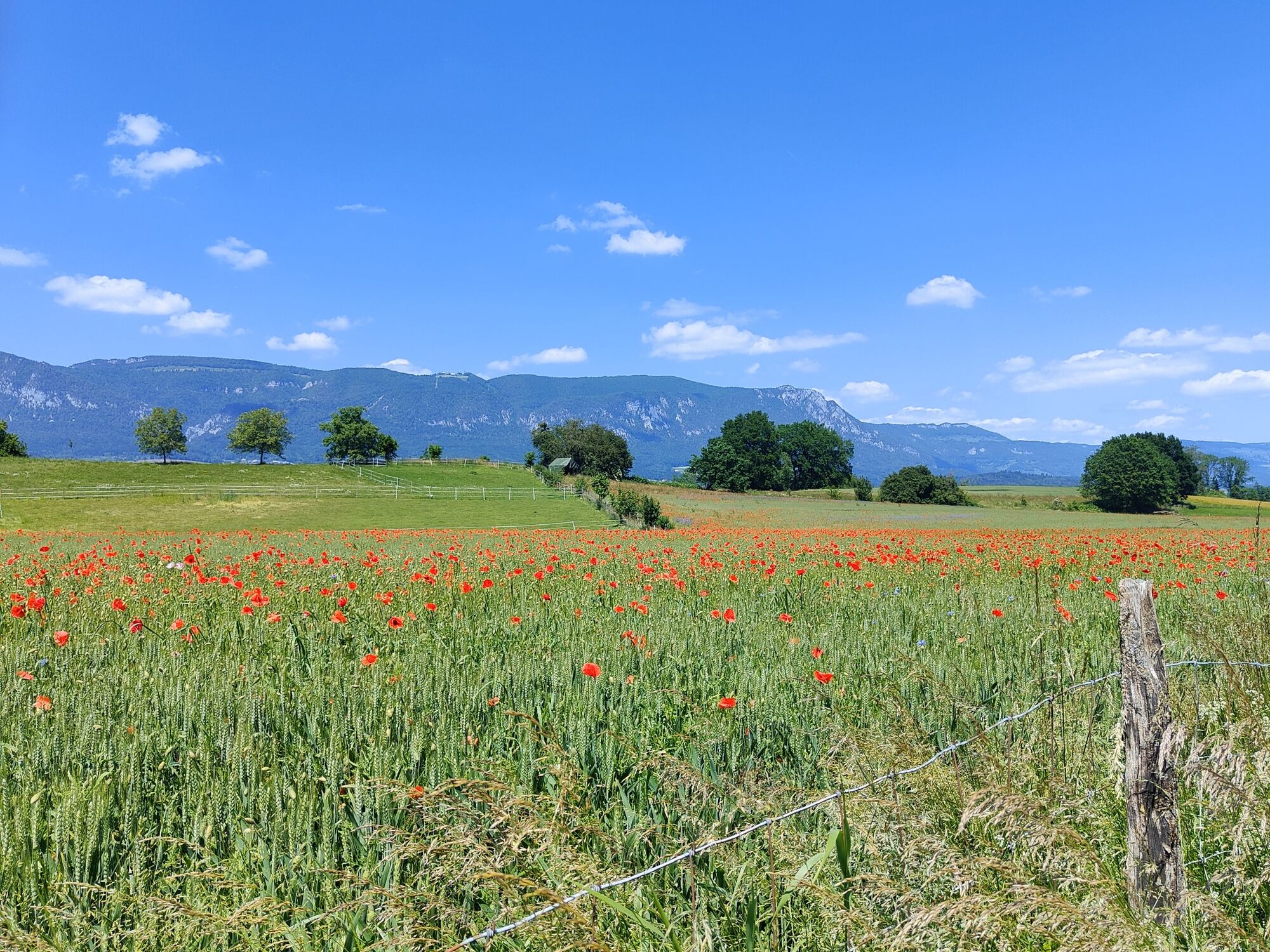
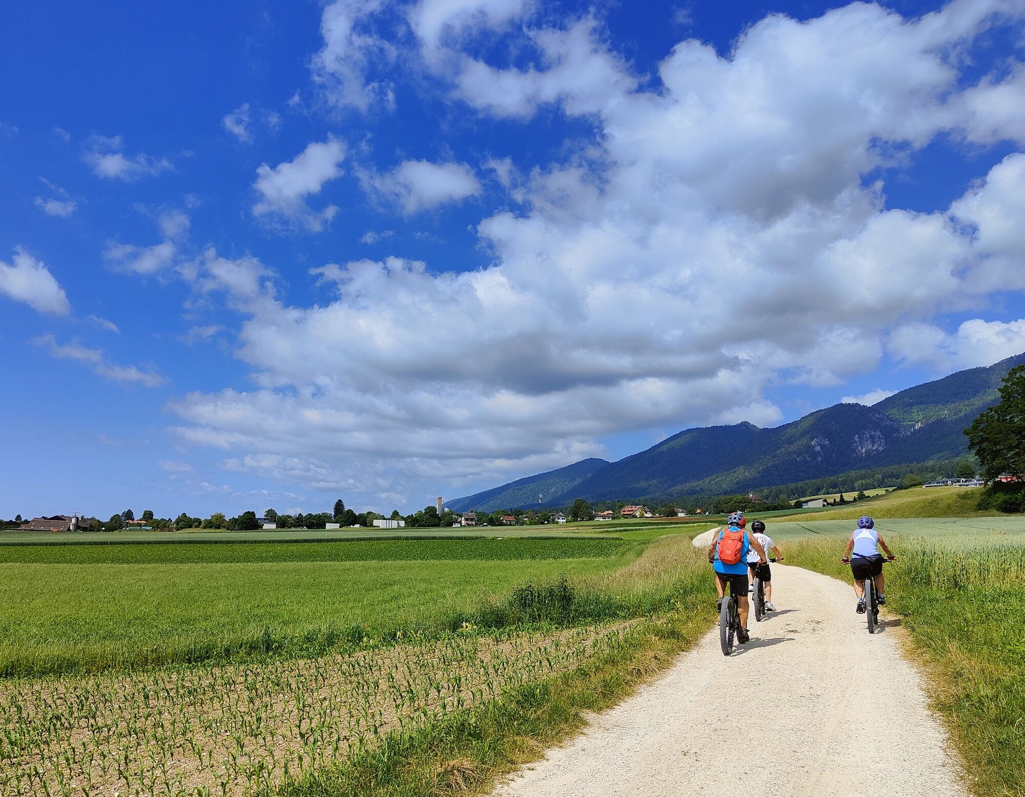
This varied cycle route from Solothurn to Grenchen and back is suitable, for example, as an after-work trail or a pleasure trail. The motto: explore the Solothurn region on a relaxing cycle ride. The Aare meanders through the Witi in Selzach and Grenchen. Formerly a flood area, it’s now a retreat for a growing population of brown hares. Above it is Hasenmatt in the Jura Mountains, the highest point in the canton of Solothurn, and the Weissenstein mountain.
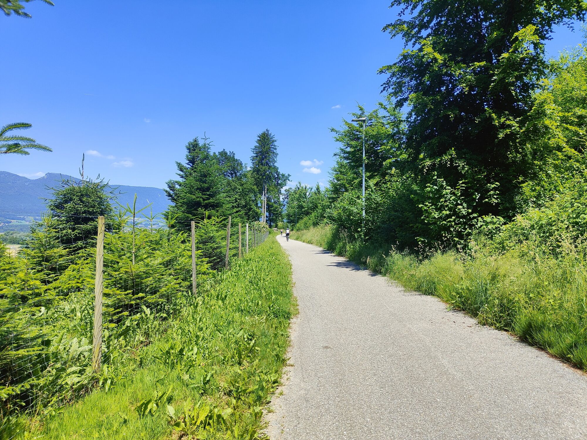
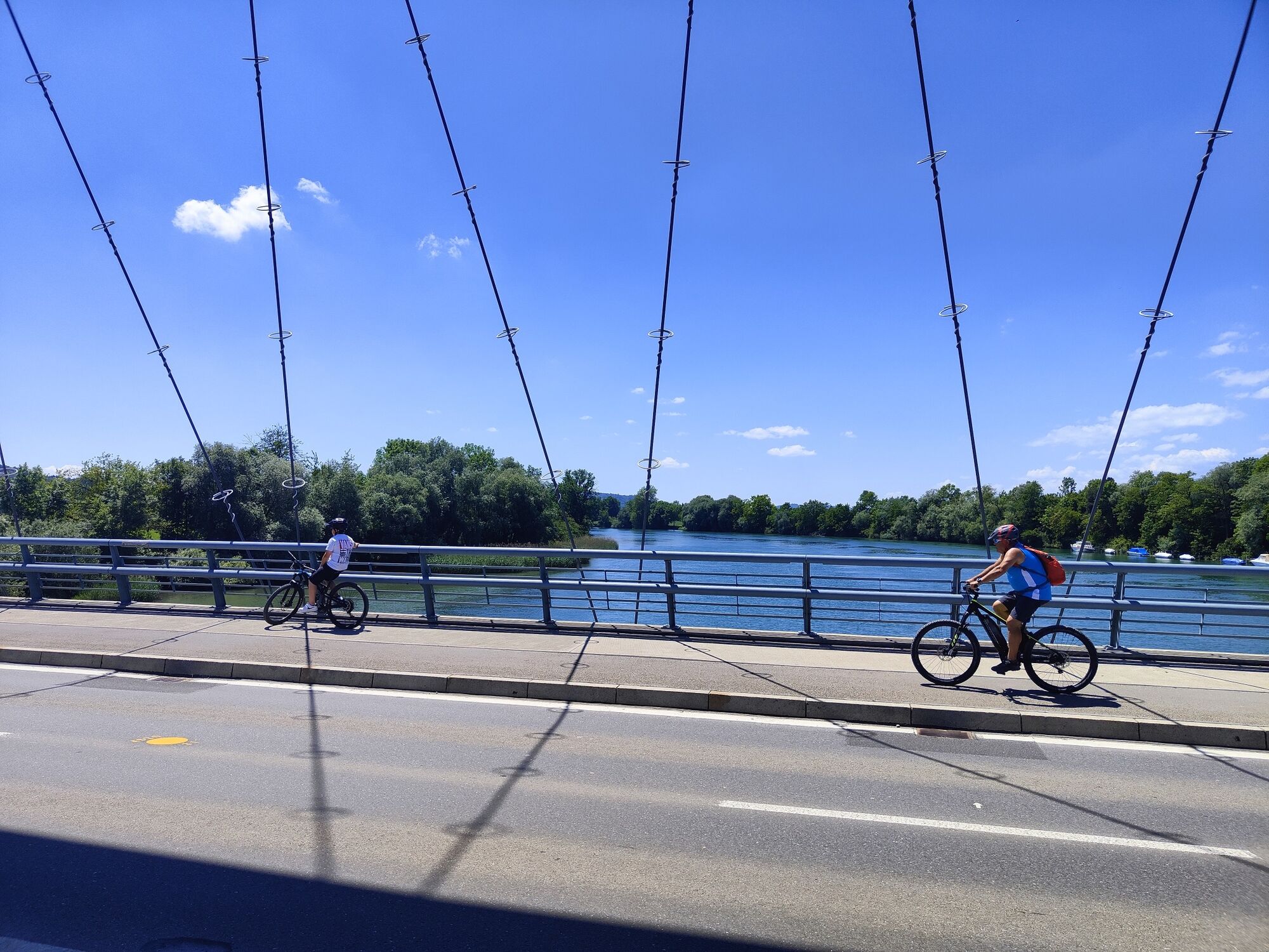
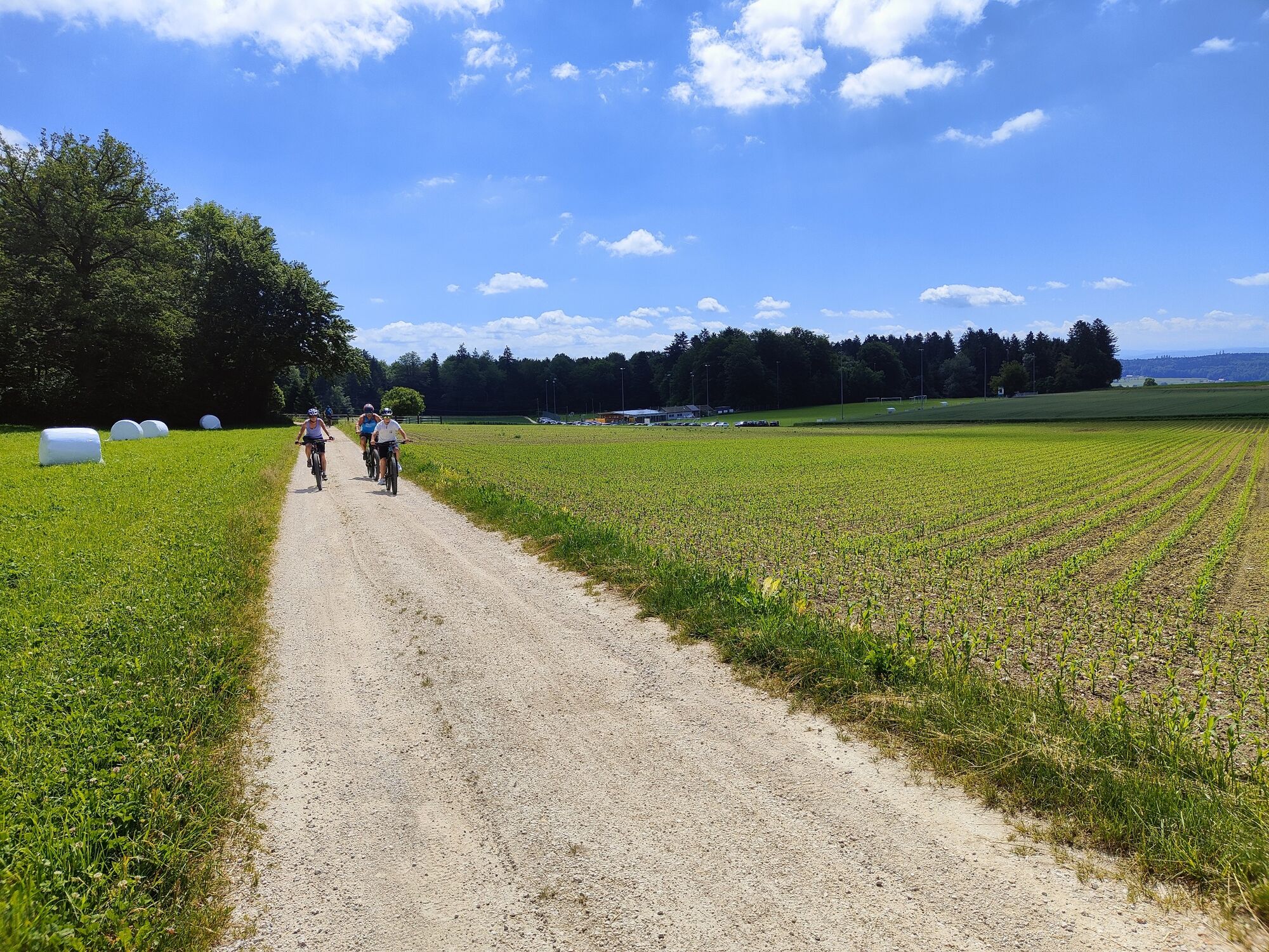
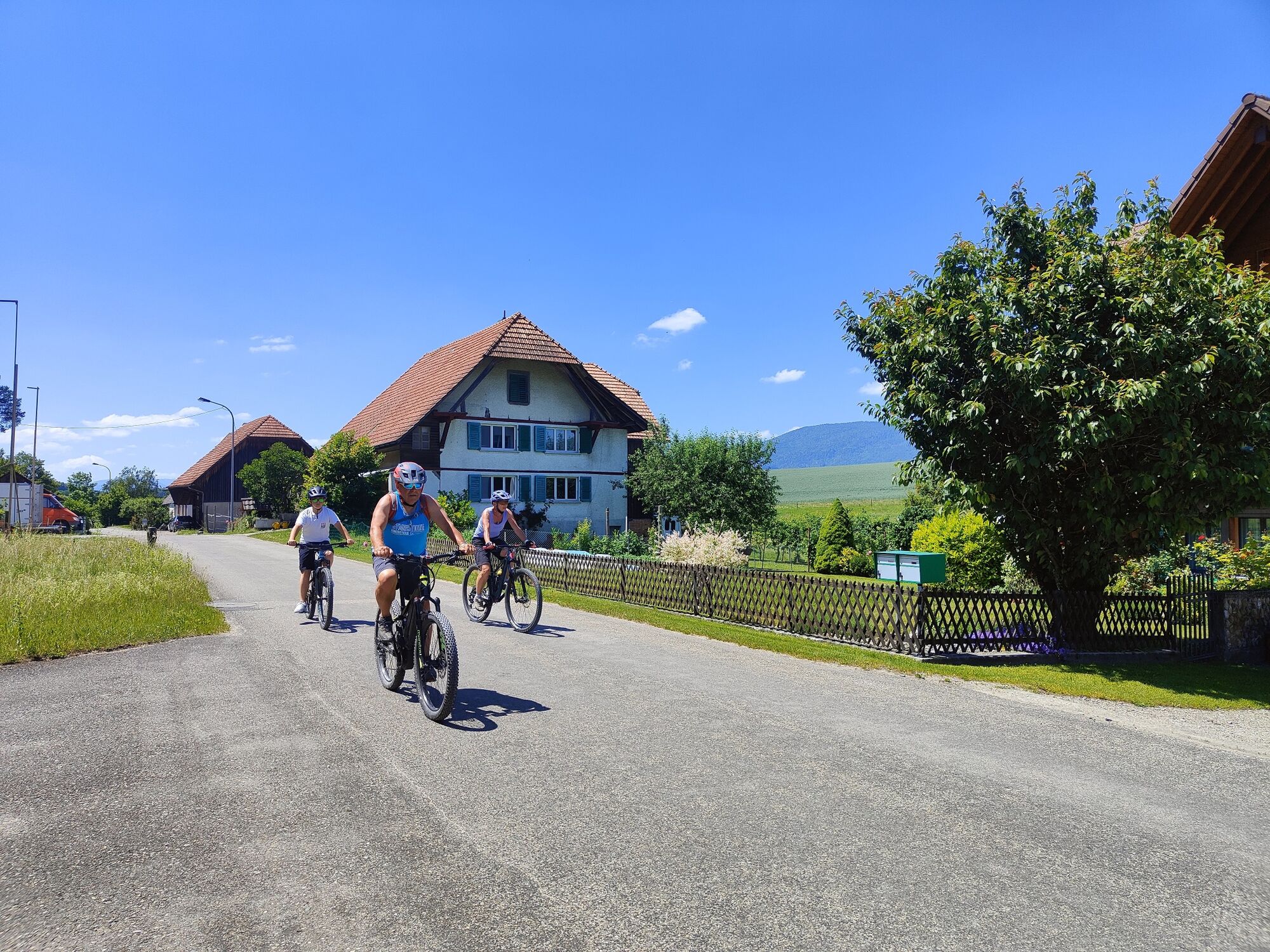
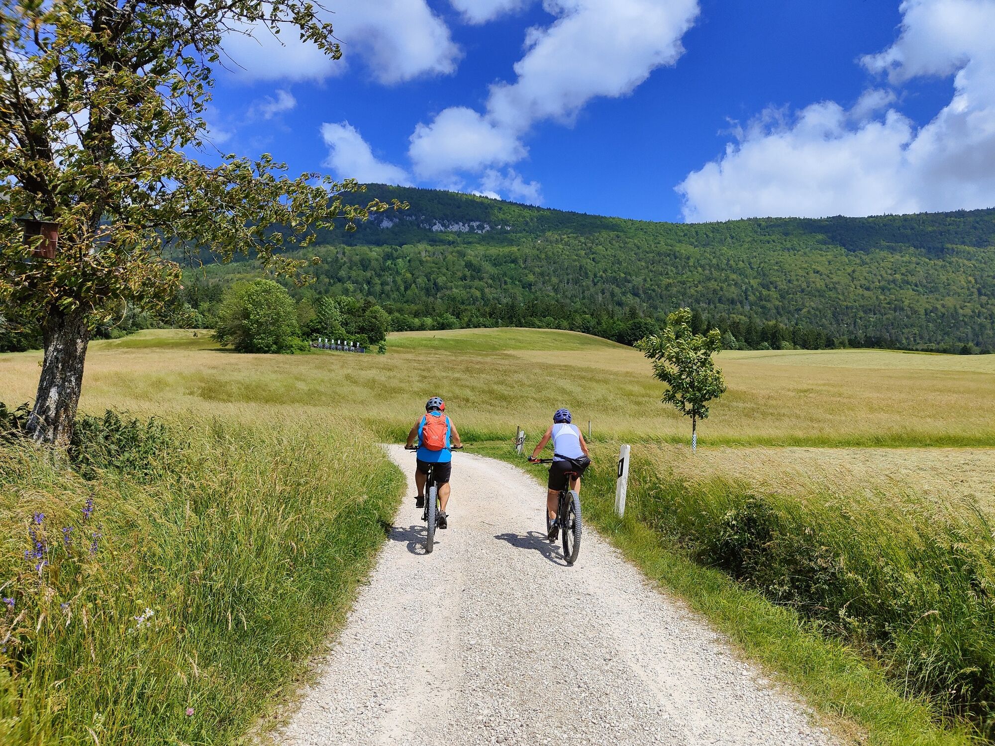
Up to Arch, the tour is identical to SwitzerlandMobility Veloroute 44. You leave the city along the Aare in a south-westerly direction, past the Krummturm. The short climb towards Spitalhof will bring you up to the necessary operating temperature. In a gentle up and down, the trail leads through the agricultural landscape towards the west. The villages are rural in character. In Arch you leave the SwitzerlandMobility route at the level of the schoolhouse and head north. The watchmaking town of Grenchen lies ahead, which you reach via the Aare and motorway bridge. With a bit of luck, you can watch small aircraft taking off and landing. Via Bahnhofstrasse, Bettlachstrasse you reach the market square. From there, the Kastelsstrasse, signposted with hiking signs, leads to the edge of the forest, becoming steeper and steeper. Via Allmendstrasse you reach the Höhenweg. You now head east along the southern foot of the Jura. The view of the Mittelland and the Alps is magnificent. At the height of Selzach, the stork village of Altreu is visible far below, directly on the Aare. After the Lochbach bridge, the forest path briefly becomes a trail. At the entrance to Lommiswil, you cross the Solothurn-Moutier railway tracks. Passing the modern church, the trail heads swiftly towards Heimlisbergwald. From Langendorf, the way back leads across the grounds of the psychiatric clinic back to Solothurn.
- Directions
-
Hauptbahnhof Solothurn Nordseite, SchweizMobil Infopunkt (Nordeingang der Bahnhofunterführung) – Spitalhof – Lüsslingen – Leizigen – Arch – Grenchen – Lochbachbrücke – Lommiswil Heimlisbergwald – Langendorf – Psychiatrische Klinik – Solothurn.
- Highest point
- 642 m
- Endpoint
-
Solothurn main station north side, SwitzerlandMobility info point
- Height profile
-
 © outdooractive.com
 - Equipment
-
Racing or gravel bike, e-bike. Normal bicycle equipment, bicycle helmet.
- Safety instructions
-
The village crossings require a bit of a sense of direction. The motorway bridge between Arch and Grenchen is very busy. There are also walkers on the forest edge path.
- Tips
-
The Grenchen pump track gets cyclists of all ages moving. It’s a fun challenge for everyone who likes to lead the pack.
- Additional information
- Directions
-
By car to Solothurn.
- Public transportation
-
By train to Solothurn.
- Parking
-
Parking spaces/parking garages in Solothurn, e.g. Berntor multi-storey car park.


-

-
AuthorThe tour The relaxing one. «Solothurn–Grenchen» circuit is used by outdooractive.com provided.


General info
-
Solothurn und Region
142
-
Bucheggberg
63
-
Selzach
23