- Brief description
-
By the water’s edge: start with a trip along the Aare river, then cross the Emme to Lake Burgäschi. In summertime, you can enjoy some fantastic swimming spots, as well as stunning views of the surrounding landscape.
- Difficulty
-
medium
- Rating
-
- Starting point
-
Solothurn main station north side, SwitzerlandMobility info point
- Route
-
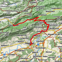
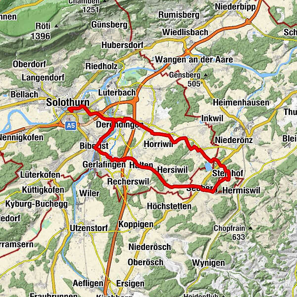
Solothurn (430 m)0.2 kmZuchwil (433 m)1.9 kmDerendingen (439 m)4.7 kmSubingen (440 m)6.9 kmHüniken (471 m)9.1 kmFrohsinn9.9 kmEtziken (479 m)10.1 kmAeschi (500 m)11.8 kmSteinhof (562 m)15.4 kmSeeberg (495 m)17.8 kmWinistorf19.0 kmHeinrichswil19.6 kmÄusserer Turmacker22.5 kmHalten (465 m)22.8 kmKriegstetten (453 m)23.7 kmBiberist Ost (446 m)27.1 kmPralino27.2 kmCoop Restaurant27.4 kmBiberist (447 m)27.4 kmDittiberg (465 m)29.5 kmDerendingen (439 m)29.6 kmZuchwil (433 m)31.9 kmSolothurn (430 m)33.5 km
- Best season
-
JanFebMarAprMayJunJulAugSepOctNovDec
- Description
-
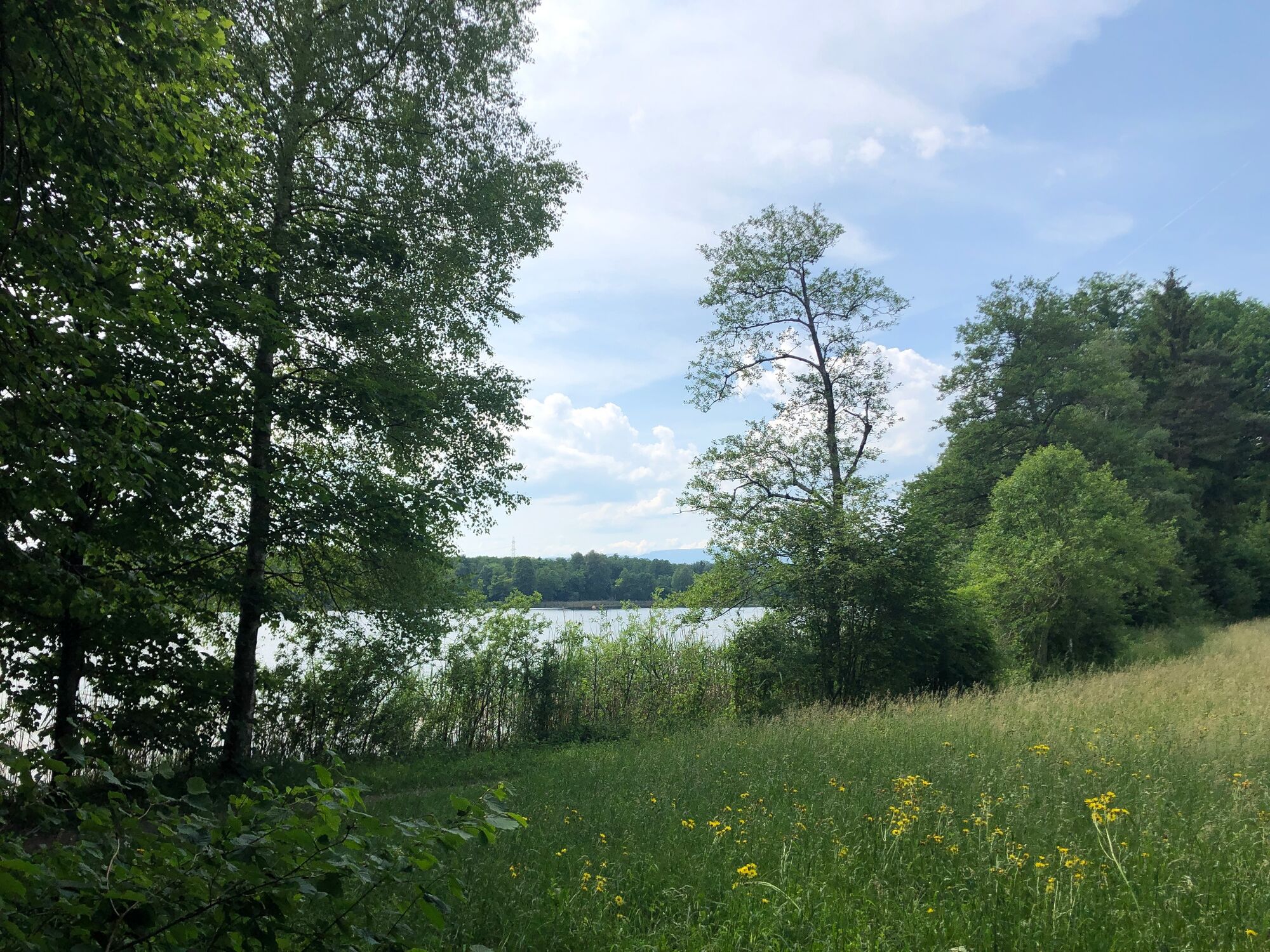
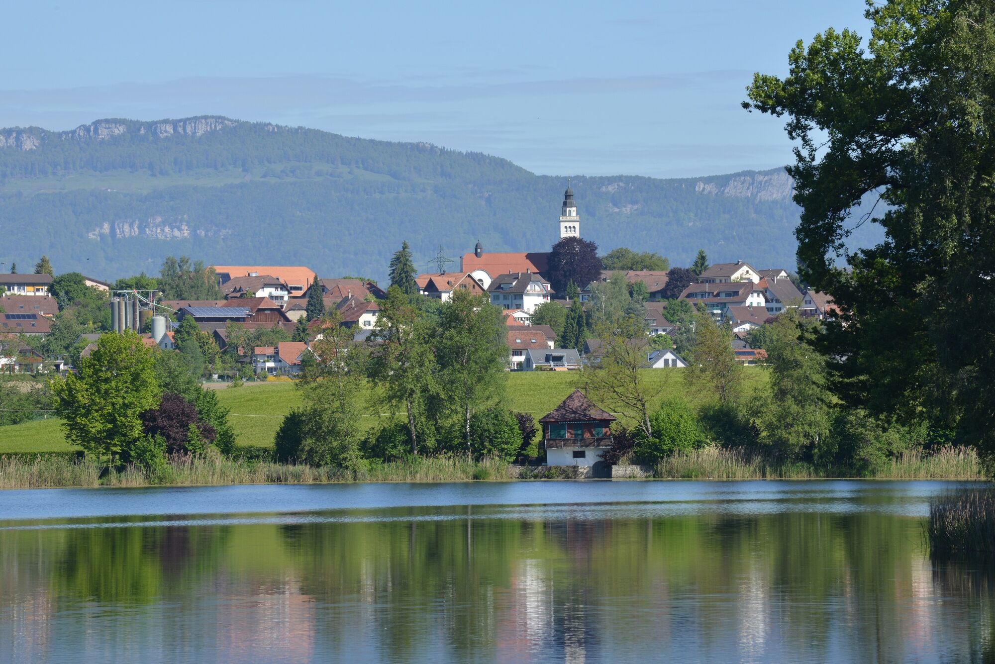
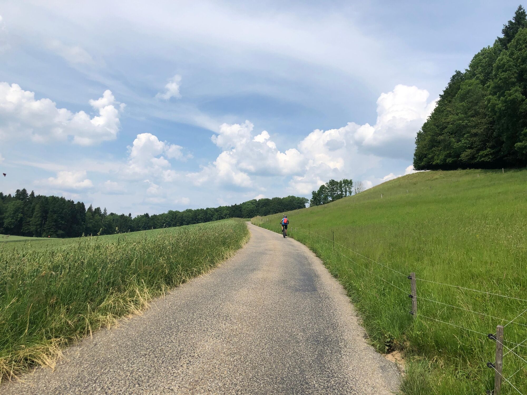
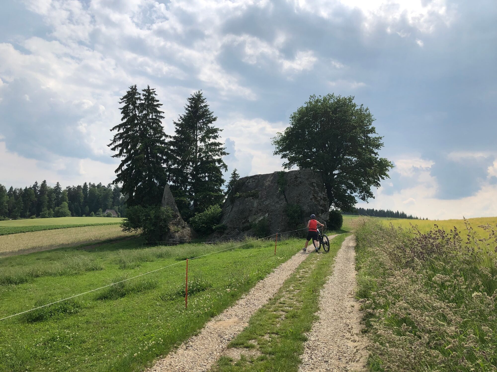
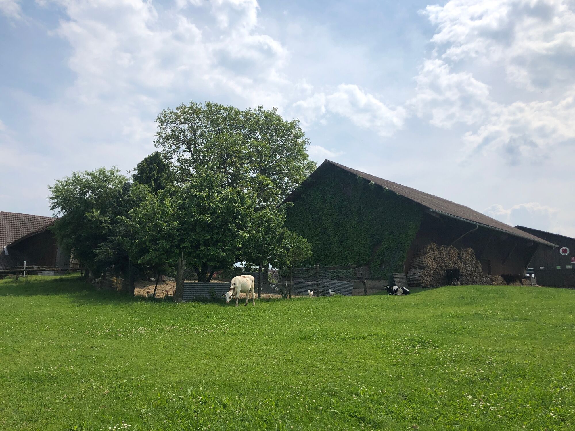
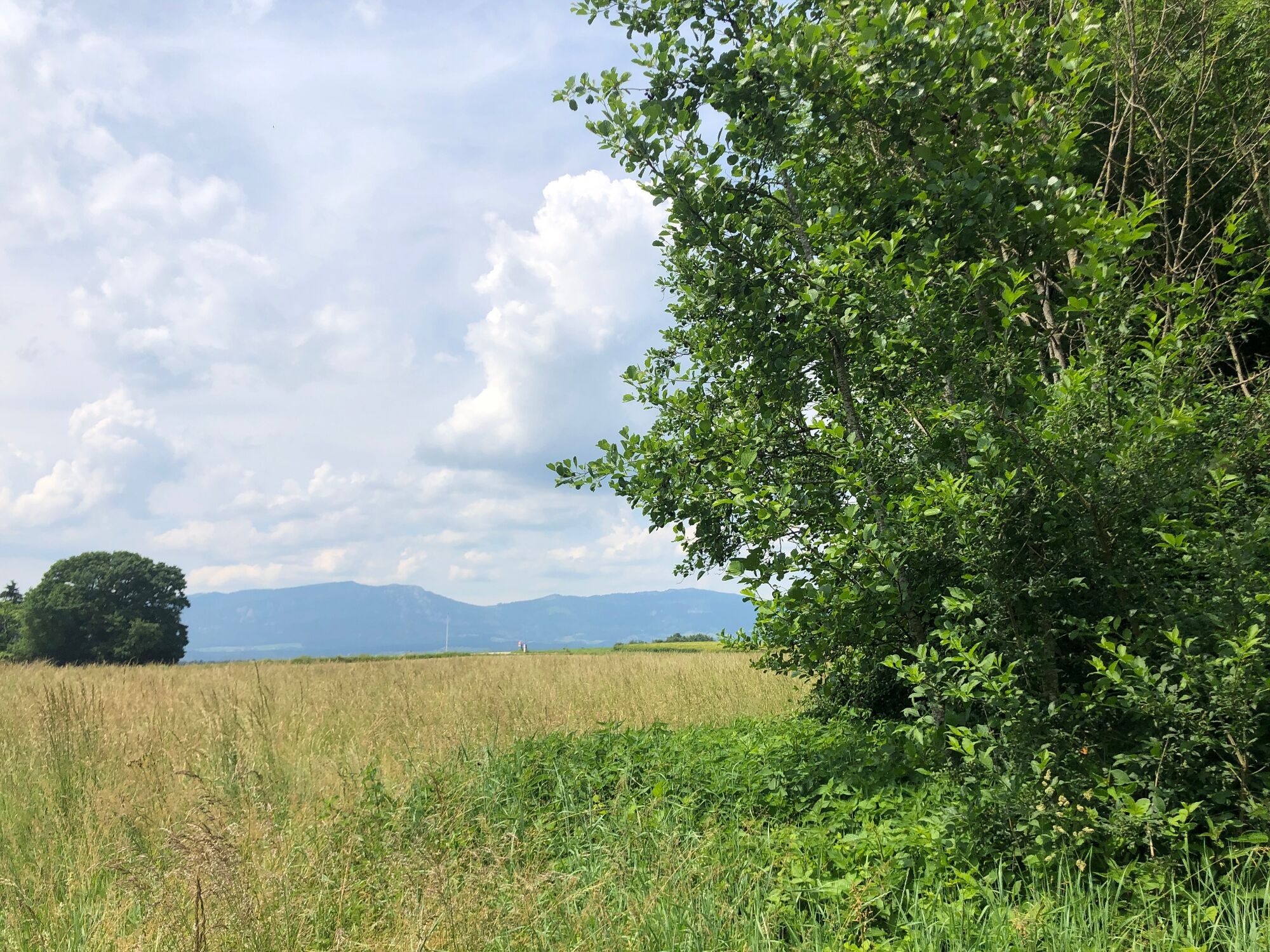
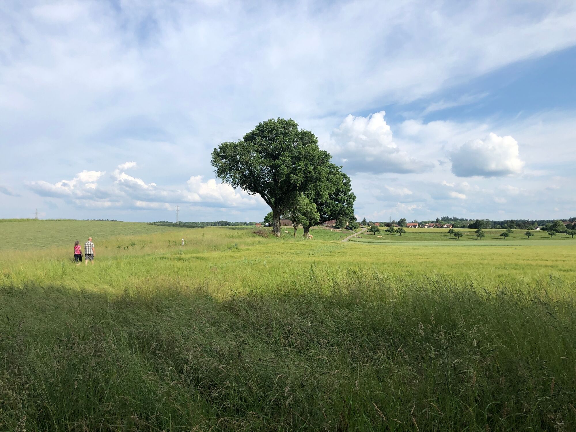
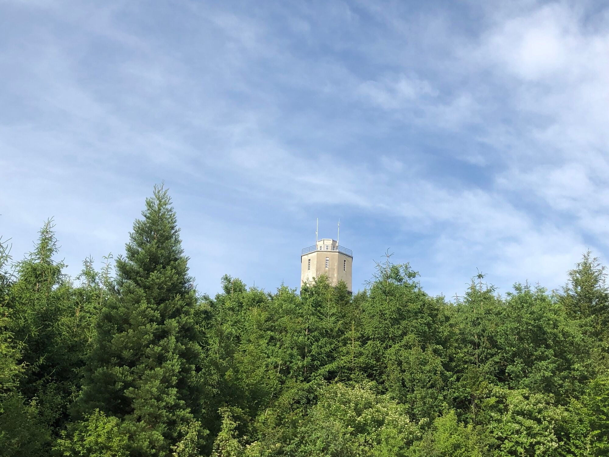
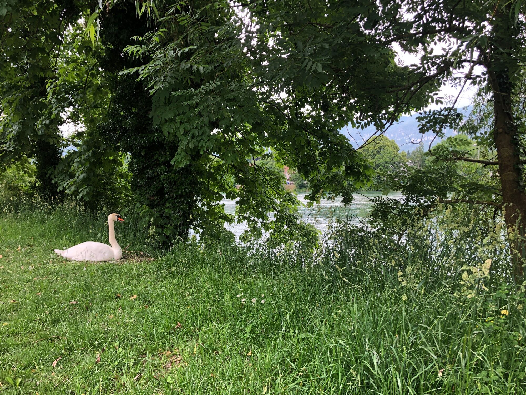
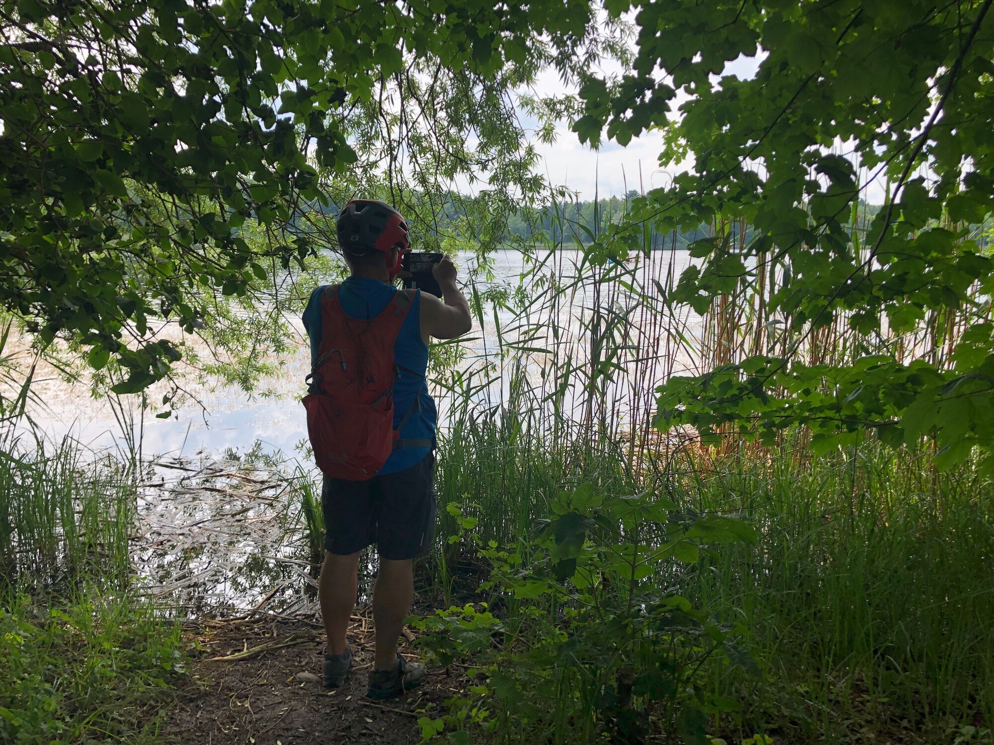
This trail is all about the water. Up to Burgäschi, it runs along the SchweizMobil cycle route 802. First, you’ll be taken down the Aare river via Zuchwil to Derendingen, where you’ll cross the renatured Emme river. Soon, the Etziken water tower will appear, and at Lake Burgäschi, you can take a break – and in summer, a refreshing swim. The largest boulder on the Swiss Plateau can be seen at Steinhof, before the SchweizMobil route 44 joins the Emme along its river bed.
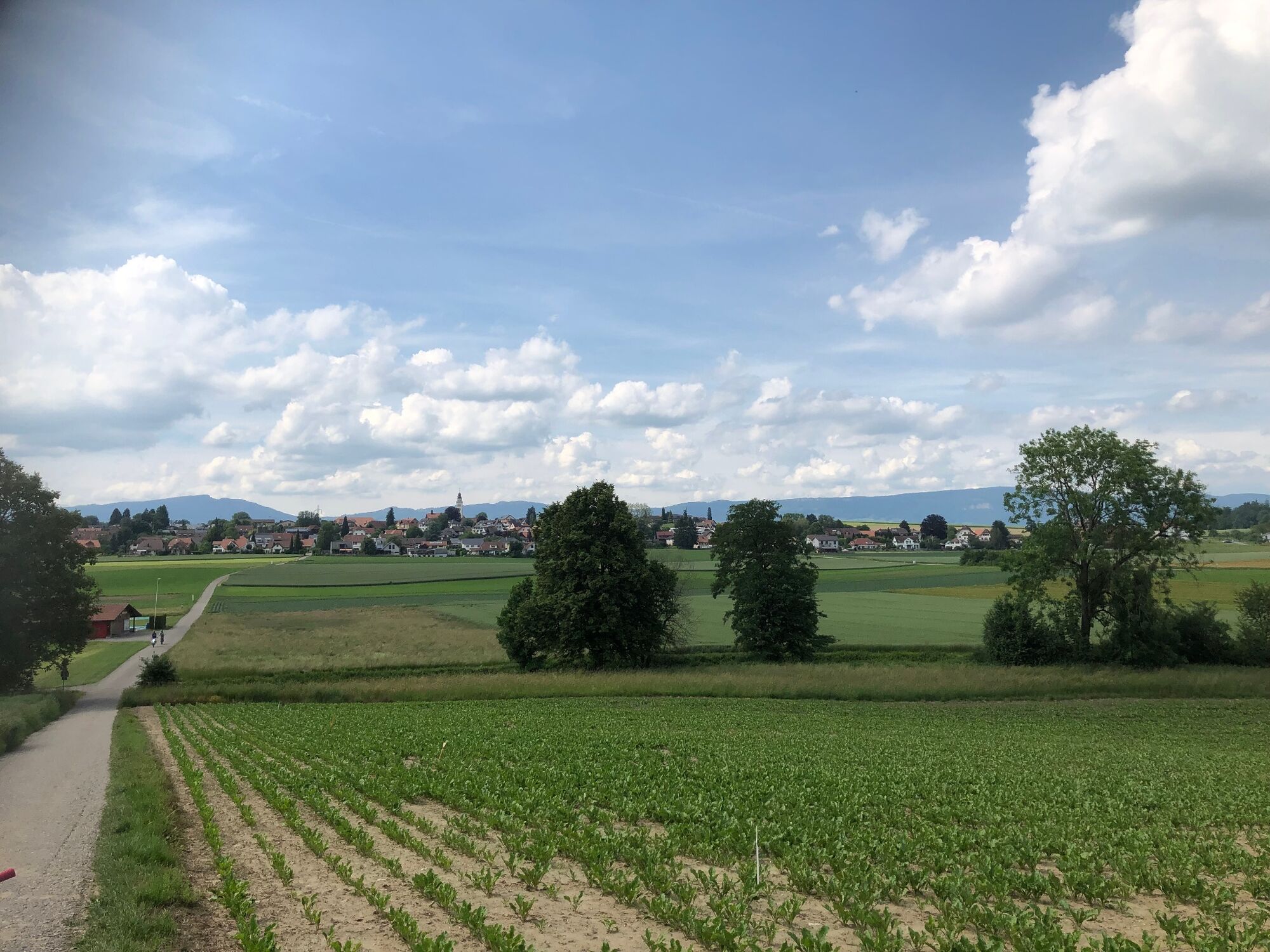
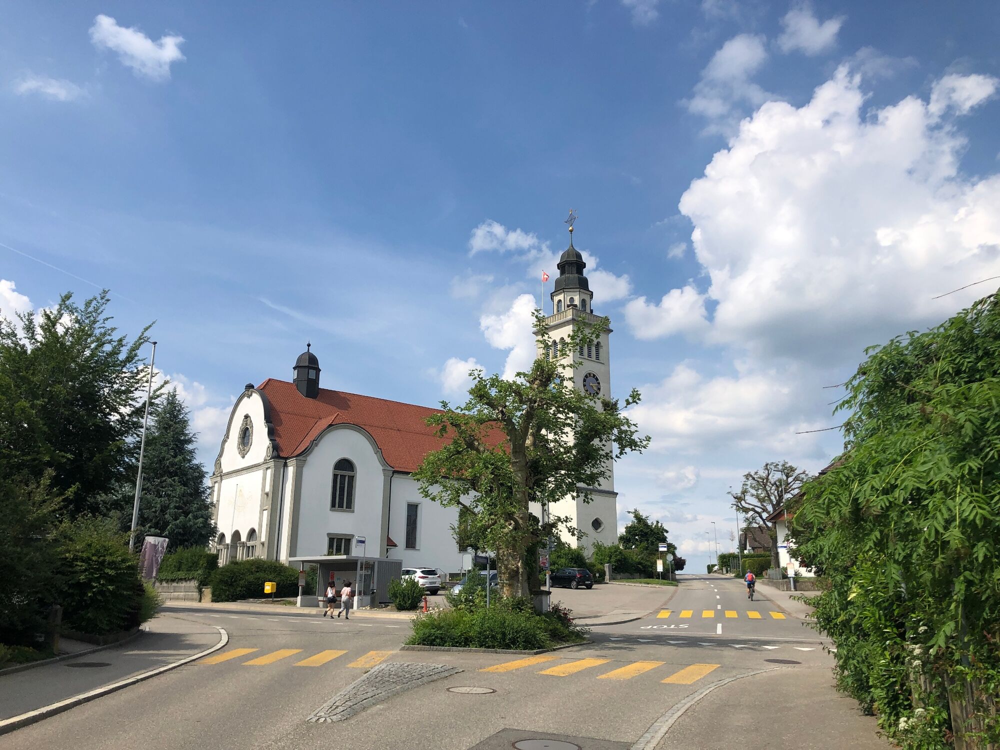
Shortly after Aeschi, Burgäschisee beckons with its restaurant, bathing area and boat hire. The largest lake in the canton of Solothurn is just 21 hectares in size. You reach the highest point of the tour at Steinhof. The largest erratic boulder in the Central Plateau weighs 3,500 tonnes and was once left there by the Rhone glacier. A place of power. The view of the Jura and the Alps is fantastic. The tour continues over fields, hills and forests. The tower of Halten with its museum invites you to an exciting interlude about the simple life of the ancestors. At the edge of the village you cross the Oesch. From Biberist to Derendingen you accompany the Emme in its new riverbed on SwitzerlandMobility Route 44. Back on the Aare, enjoy the skyline of Solothurn. Time for an aperitif.
- Directions
-
Hauptbahnhof Solothurn Nordseite, SchweizMobil Infopunkt (Nordeingang der Bahnhofunterführung) – Zuchwil – Derendingen – Subingen – Burgäschisee – Steinhof – Biberist – Solothurn.
- Highest point
- 560 m
- Endpoint
-
Solothurn main station north side, SwitzerlandMobility info point
- Height profile
-
 © outdooractive.com
 - Equipment
-
Racing or gravel bike, e-bike. Normal bicycle equipment, bicycle helmet.
- Safety instructions
-
The local route from Gerlafingen to Biberist requires a bit of a sense of direction. Between Biberist and Derendingen there is about one kilometre of natural road to negotiate.
- Tips
-
Discover something surprising and beautiful along the way, such as the romantic Lake Burgäschi or the Museum Wasseramt in Halten.
- Additional information
- Arrival
-
By car to Solothurn.
- Public transportation
-
By train to Solothurn.
- Parking
-
Parking spaces/parking garages in Solothurn, e.g. Berntor multi-storey car park.
-

-
AuthorThe tour The flowing one. «Wasseramt» circuit is used by outdooractive.com provided.


General info
-
Solothurn und Region
142
-
Wasseramt
77
-
Horriwil
39