


- Brief description
-
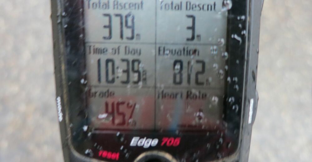
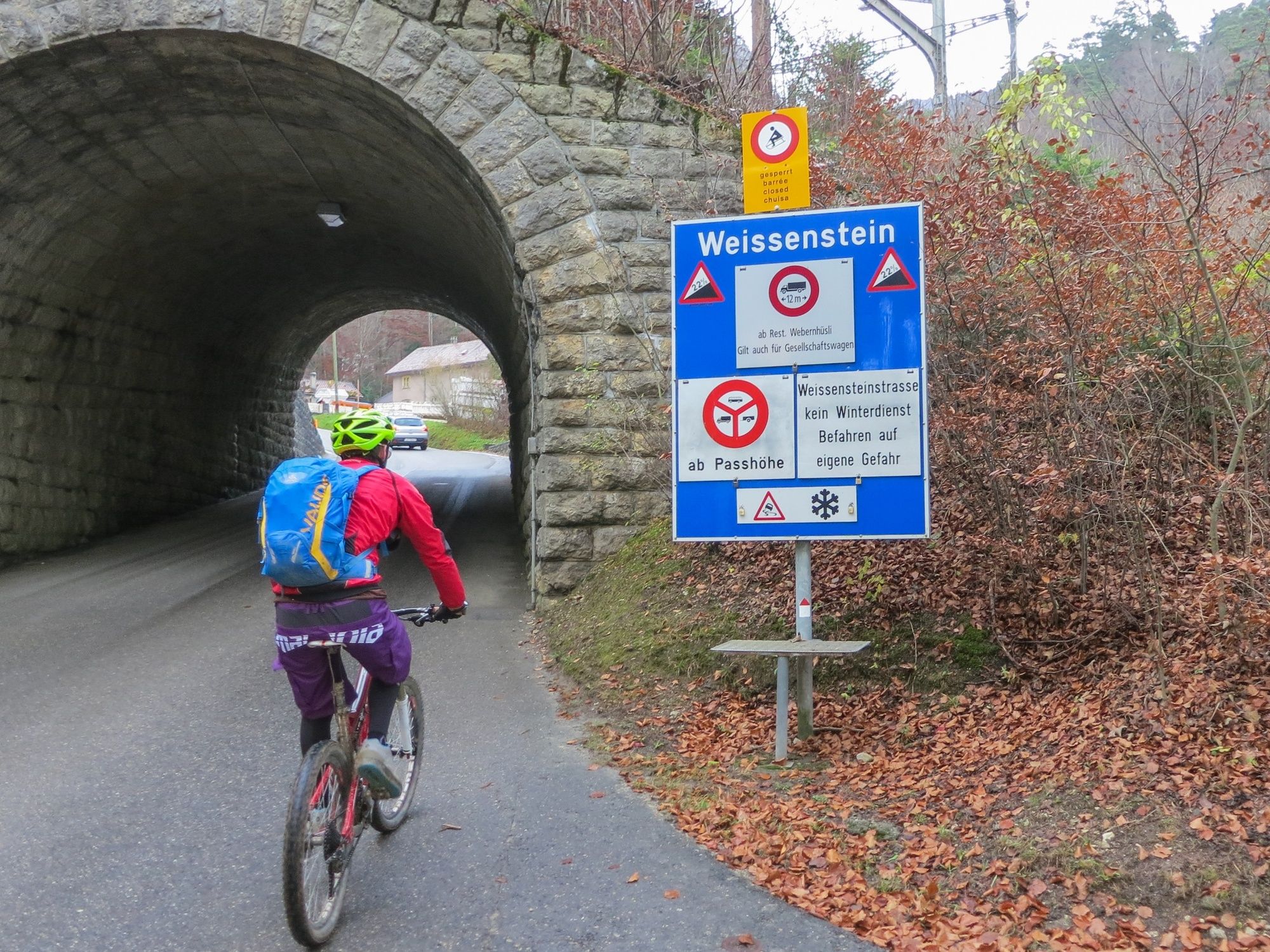
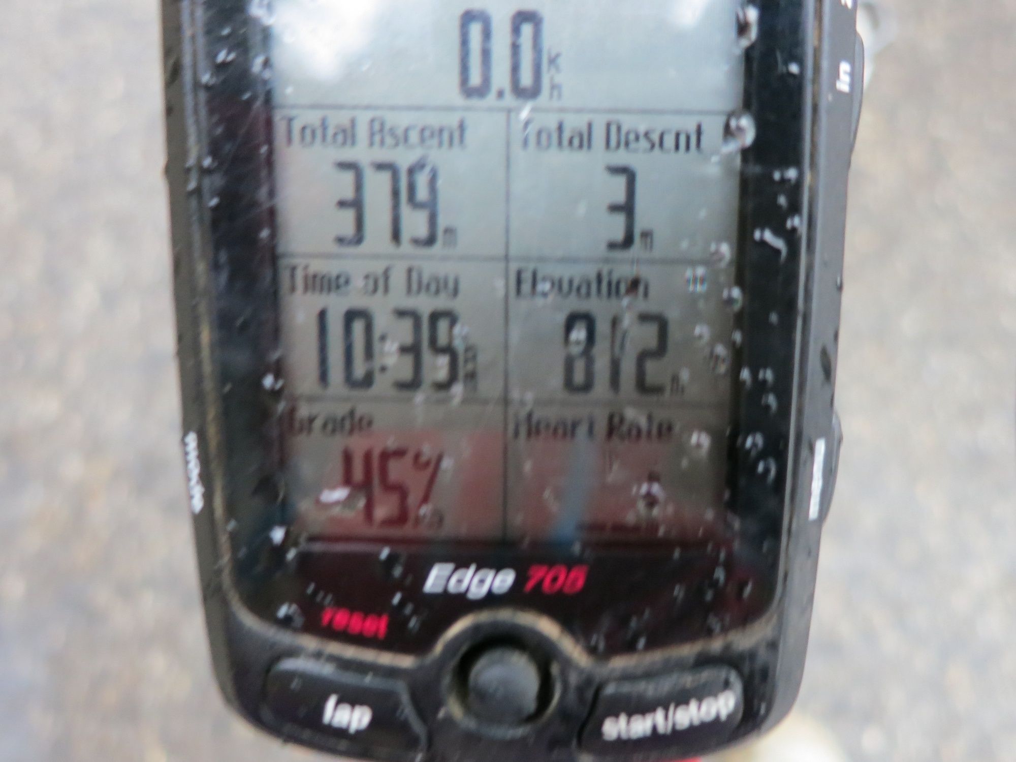
Weissenstein pass is reputed to be the steepest pass in a Switzerland with a maximum grade of 22 percent, what proves to be a challenge for road riders brings mountain bikers to some fun trails and nice views.
- Difficulty
-
medium
- Rating
-
- Starting point
-
Solothurn Train Station
- Route
-
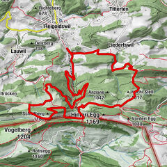
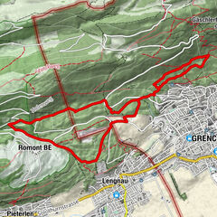
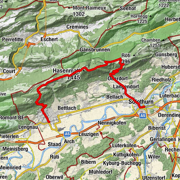
Solothurn (432 m)0.1 kmSolothurn (430 m)1.0 kmEvangelisch-Methodistische Kirche1.4 kmRoamer2.4 kmLangendorf (496 m)3.2 kmEngel4.1 kmOberdorf SO (559 m)4.7 kmOberdorf SO (655 m)5.7 kmKarma5.7 kmNesselboden9.2 kmSennhaus10.5 kmVorderweissenstein10.6 kmWeissenstein (1,284 m)10.6 kmDilitschchopf (1,330 m)12.7 kmHinterer Weissenstein12.8 kmBergrestaurant Althüsli16.4 kmMüren16.8 kmStallflue (1,409 m)18.0 kmKüferegg (1,309 m)19.0 kmWandflue (1,399 m)19.9 kmObergrenchenberg20.9 kmUntergrenchenberg22.7 kmLachen23.6 kmSchmelzi27.4 kmSt. Eusebius28.5 kmGrenchen (451 m)28.7 kmGrenchen Süd (440 m)29.2 km
- Best season
-
JanFebMarAprMayJunJulAugSepOctNovDec
- Description
-
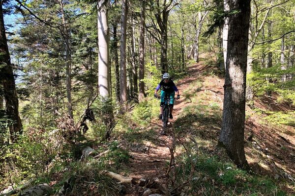
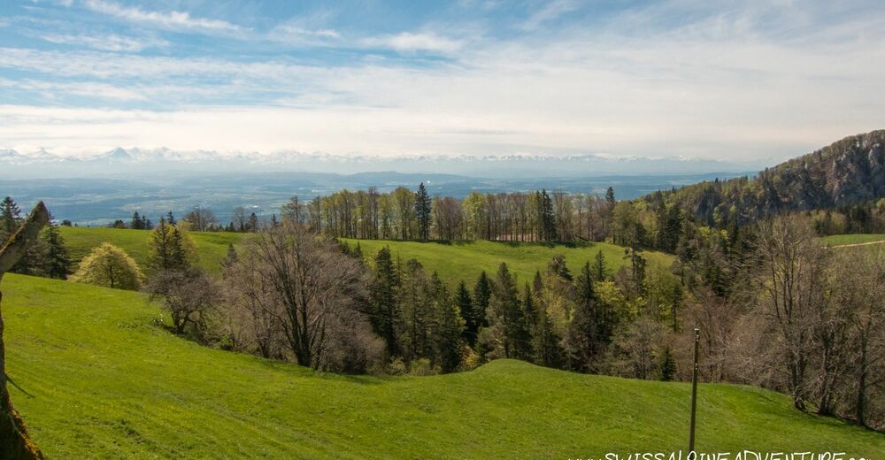
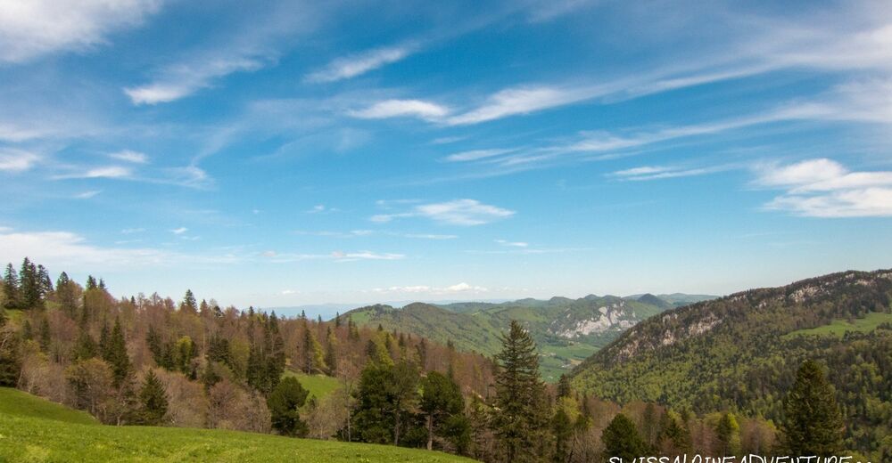
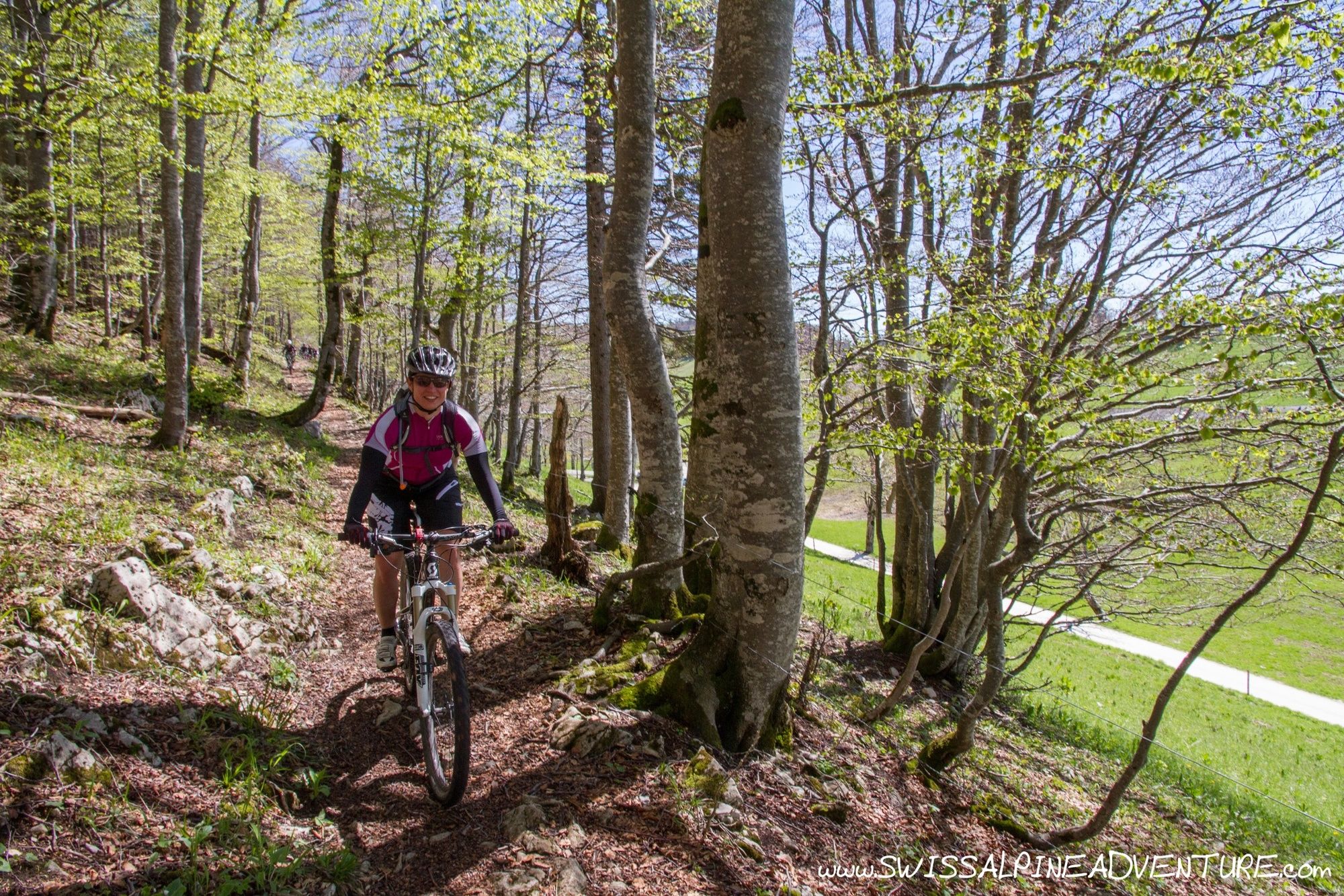
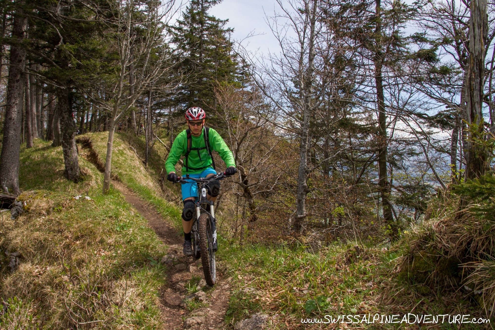
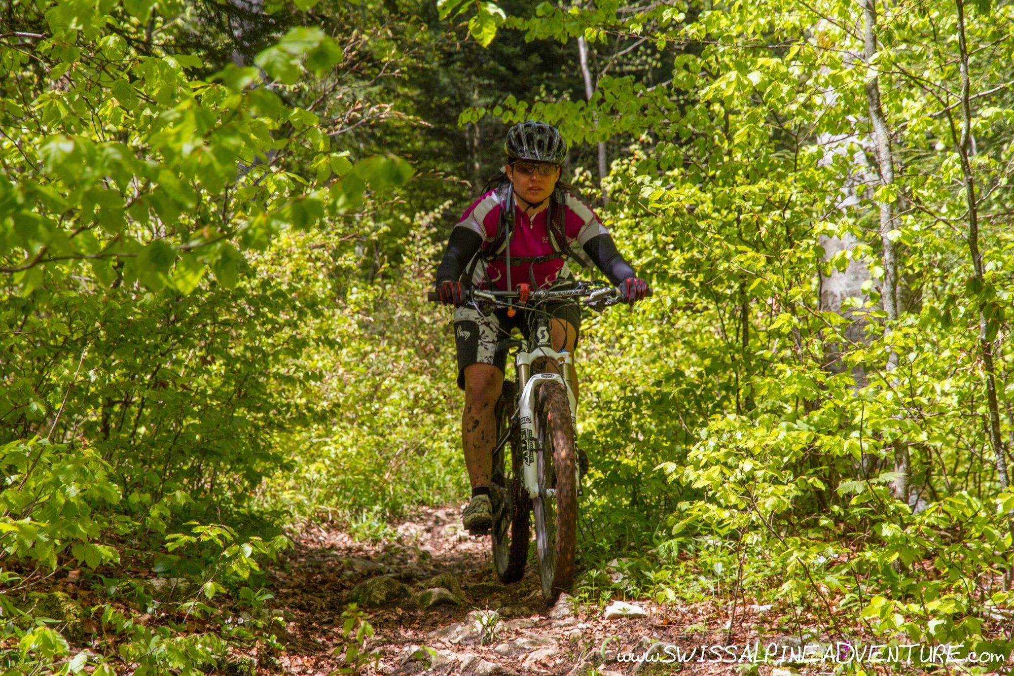
The tour starts in Solothurn and climbs the steepest pass in Switzerland to Weissenstein. From the pass the trail starts and follows the ridgeline towards Obergrenchenberg. The trail is at times flowy and at times technical with a few spots of exposure along the way. From Obergrenchenberg the trail drops into the woods on some quite flowy trails leading to Grenchen.
The ascent can be made slightly easier by taking the train to Gänsbrunnen and riding from there to the top of Weissensteinpass (saves 300m climb and ascends less steeply).
- Directions
-
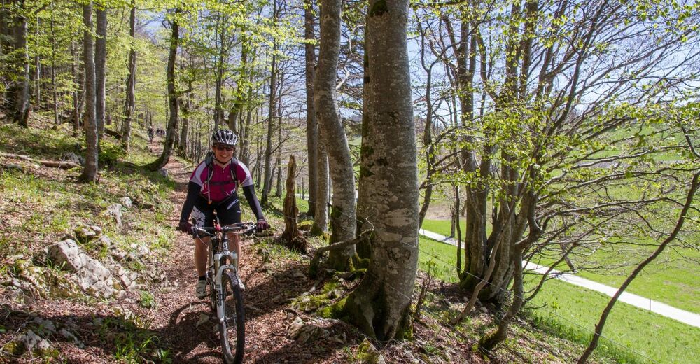
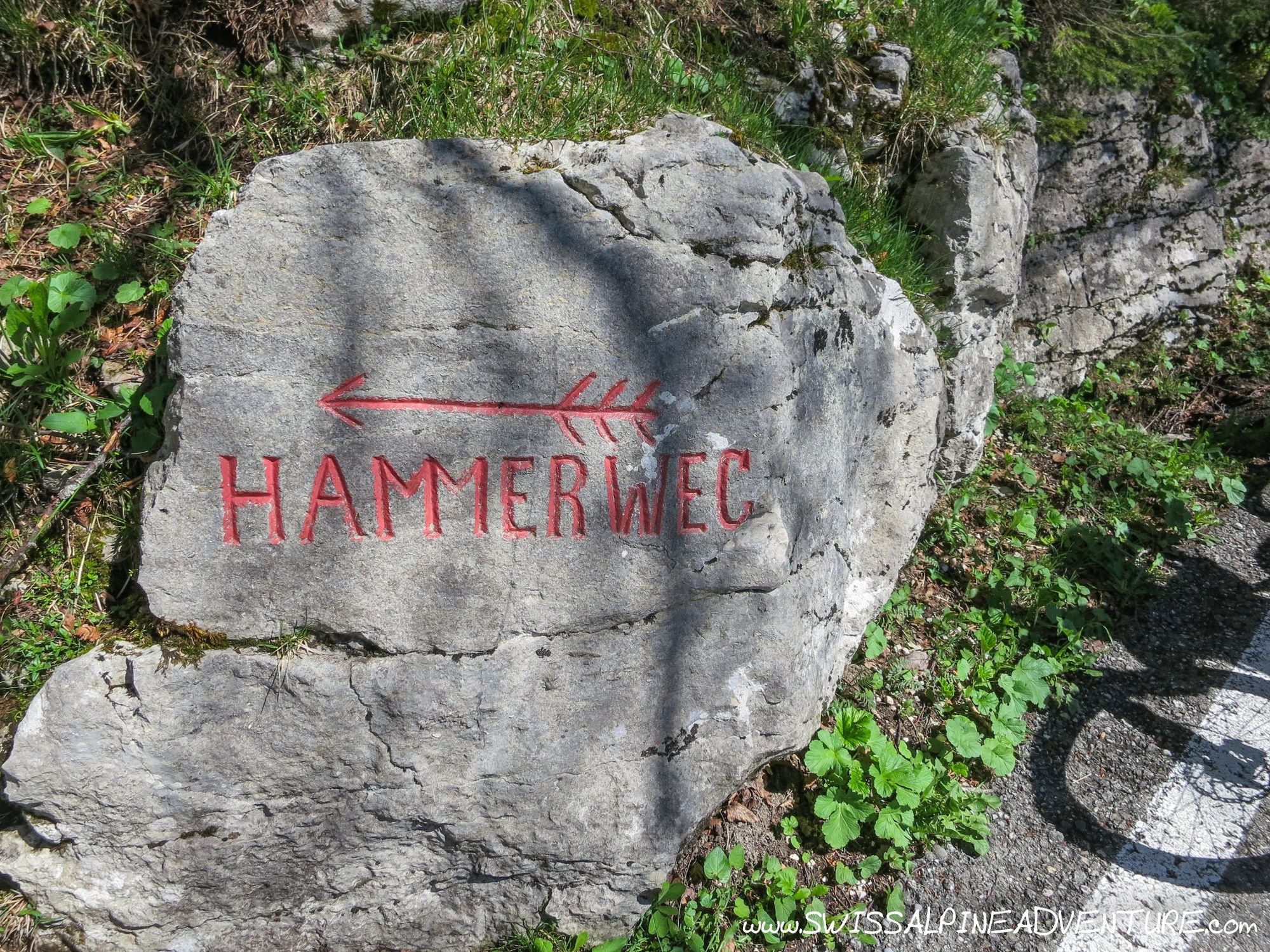
From Solothurn train station follow the main road to the left and cross the river towards the old town. Keep riding on the main street towards Oberdorf and Weissenstein. In Oberdorf the Weissensteinpass proper starts and gets steep immediately and stays like that for almost the entire 800m of ascent. Just before the top of the pass a singletrail goes to the left with a stone at the entrance that says "Hammerweg" on it.
Take the Hammerweg to the mountain restauraunt at Hinterweissenstein. Ride past the restaurant on the access road going back towards the pass and take the unpaved road descending to the right approximately 150m after the restaurant. This road turns almost 90deg to the right after about 250m and continues to a junction where you can descend to the left or keep going straight on a short ascent. Keep going straight until the trail turns into a singletrail that joins the ridge between Gitziflue and Hasenmatt. The bike will need to be carried up to the ridge.
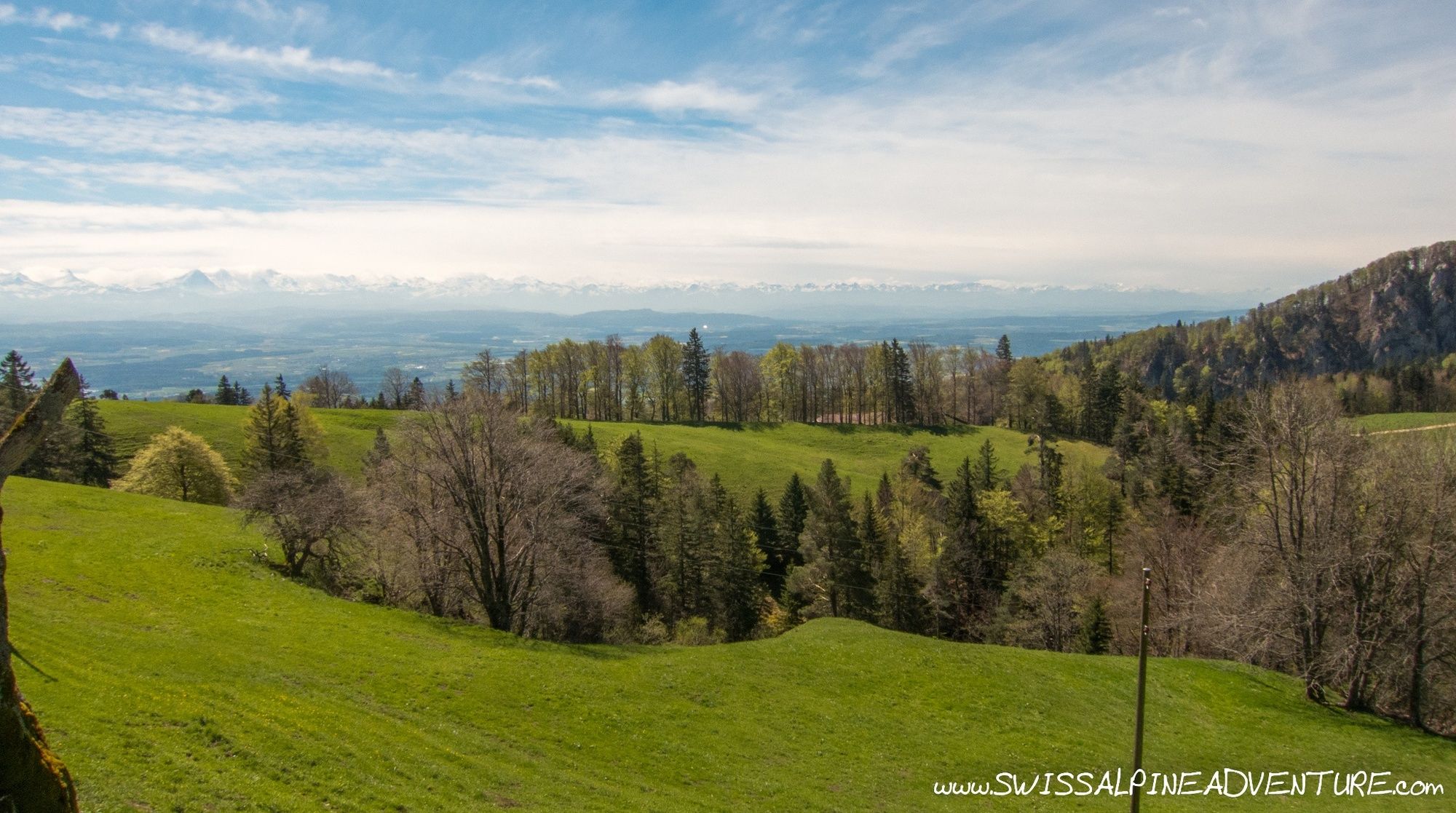
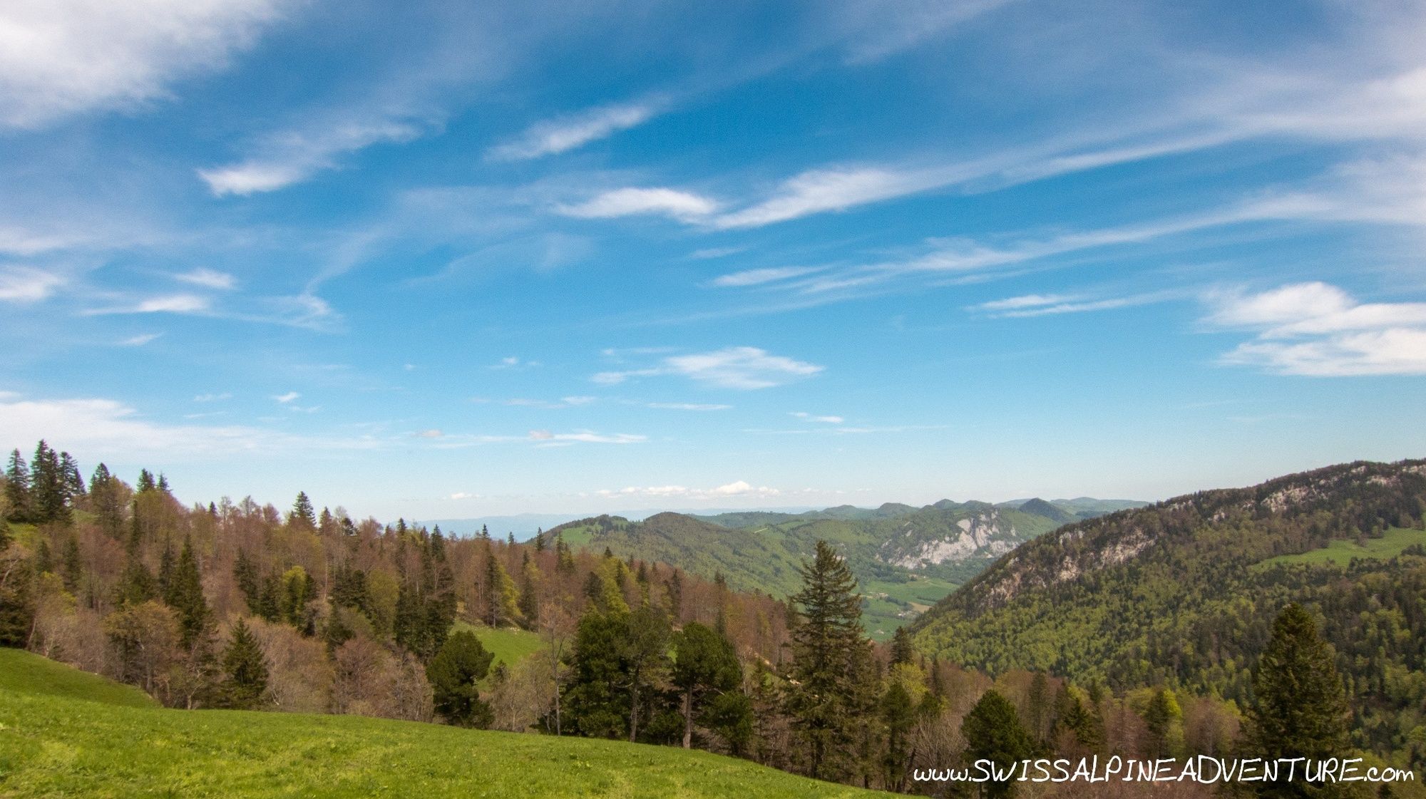
Once getting onto the ridge you can ride down to the road that contours around Hasenmatt and brings you to a hiking path that will bring you up onto the Stallflue ridge. The climb to the ridge is just about rideable and will provide a nice challenge who like their uphill singletrail. Once on the ridge you first pass an open field with great views over the Jura and towards the main Alpine ridge before going back into the woods. Once you get to the woods there are a few places with a little exposure and some parts that offer some "interesting" technical challenges. One part of the trail has a rope in and this point is probable best tackled on foot rather than on the bike.
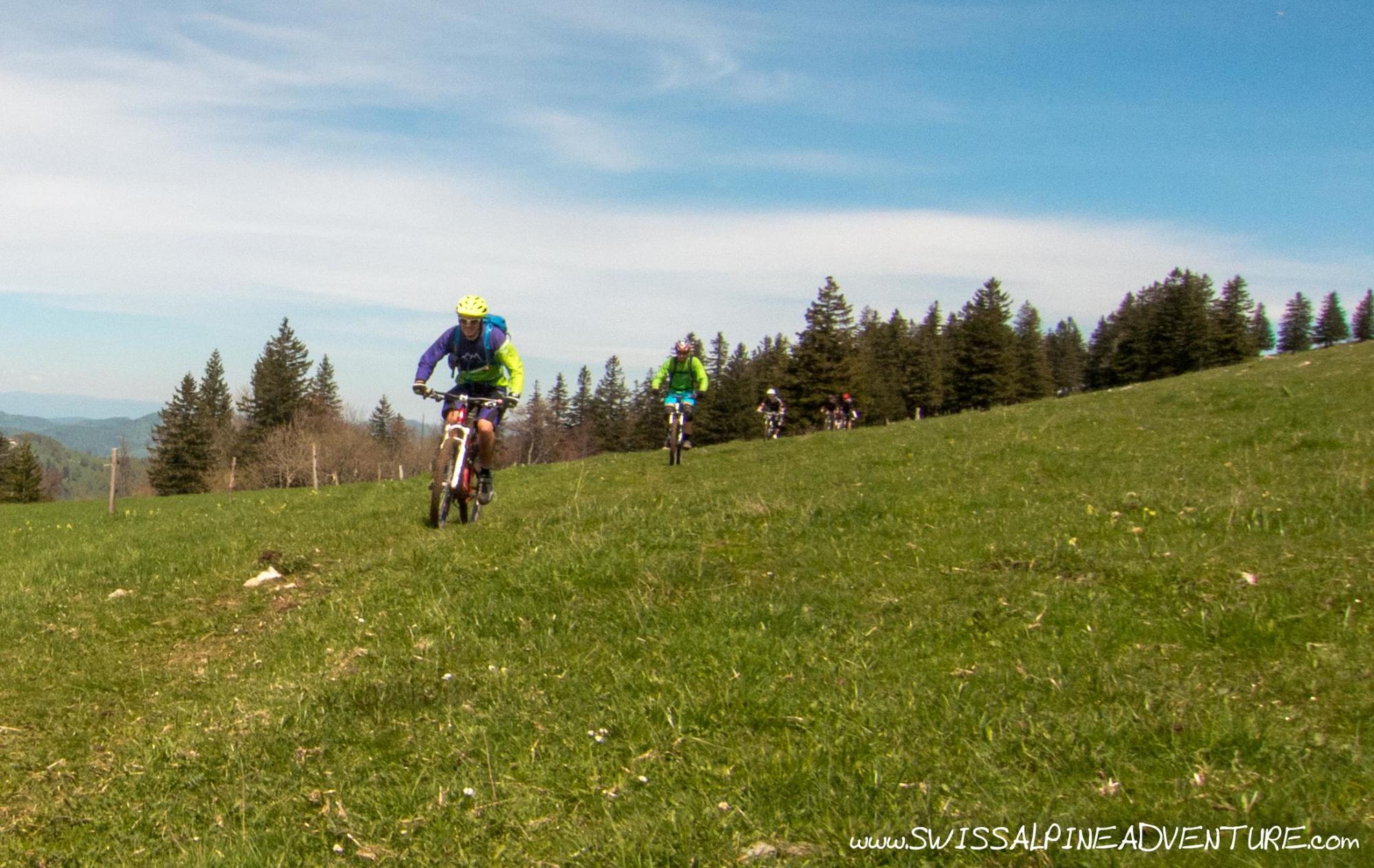
After about 1km the trail comes out into the open again and crosses some fields to join a paved road at Obergrenchenberg. Here you can stay on the road and ride to the restaurant at Unterberg or stay left and take another trail which keeps going accross the fields to the restaurant.
From Unterberg follow the road down and around the first hairpin. As the road enters the woods there is a hiking trail entrance on the left which you can follow the whole way down to the edge of Grenchen.
In Grenchen it's possible to get the train or ride back to Solothurn.
- Highest point
- 1,392 m
- Endpoint
-
Grenchen Train Station
- Height profile
-
 © outdooractive.com
 - Safety instructions
-
The ridgeline trail is a typical Jura ridge with sharp limestone rocks sticking out. In the wet these rocks can be quite slippery. There are a couple of places with a little exposure on this route. Kneepads recommended.
- Additional information
- Directions
-
From Zurich take the A1 towards Bern and turn off for Solothurn.
- Public transportation
- Parking
-
There is parking available at the train station in Solothurn and it is possible to either take a train or ride back to the car from Grenchen.
-

-
AuthorThe tour Weissenstein is used by outdooractive.com provided.


Surfaces
General info
-
Solothurn und Region
96
-
Bucheggberg
24
-
Lommiswil
7