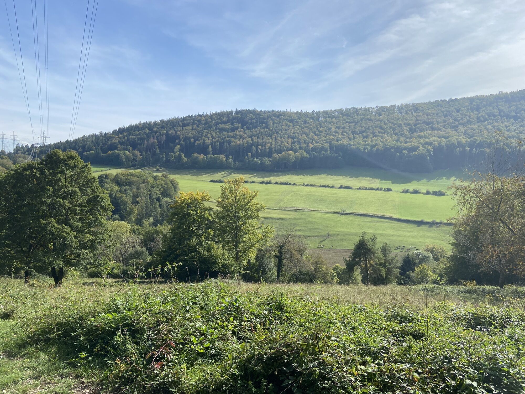
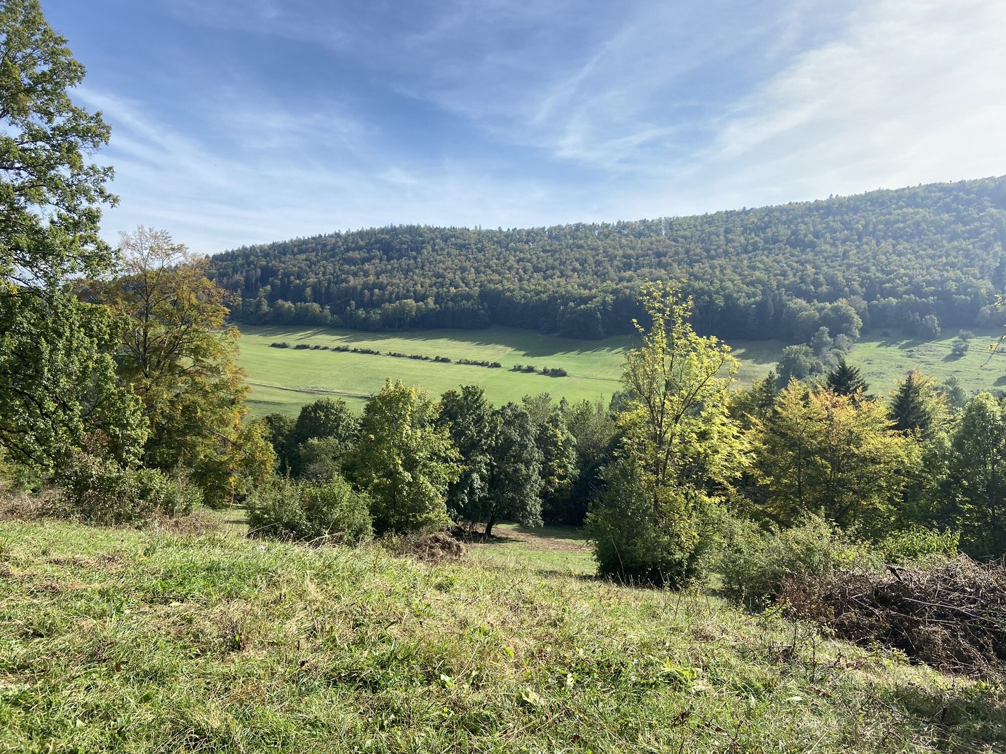
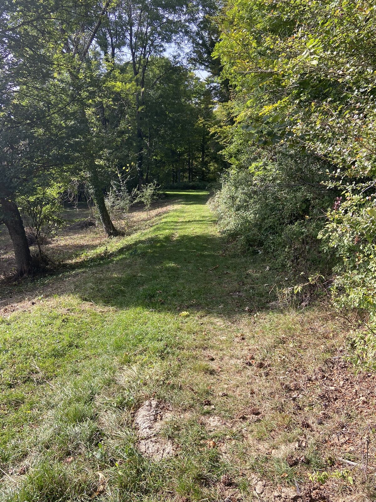
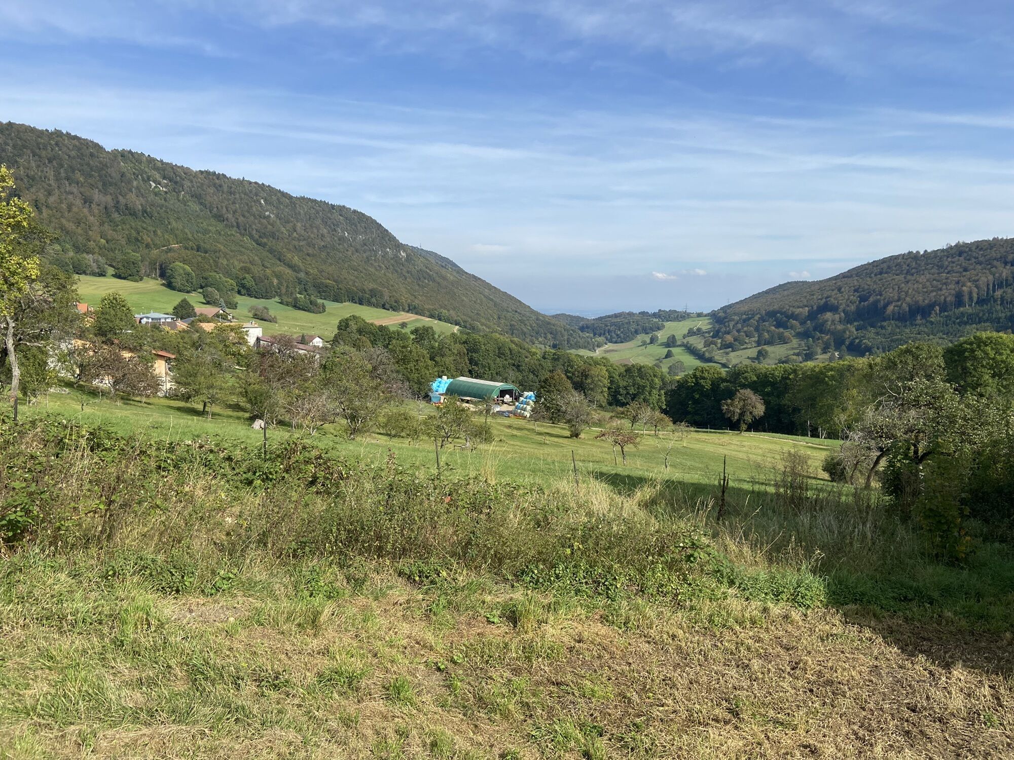
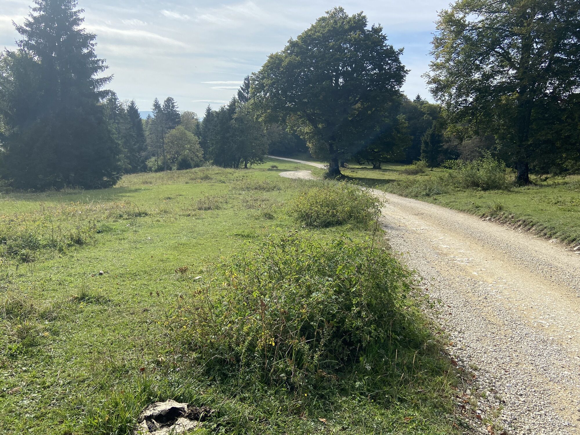
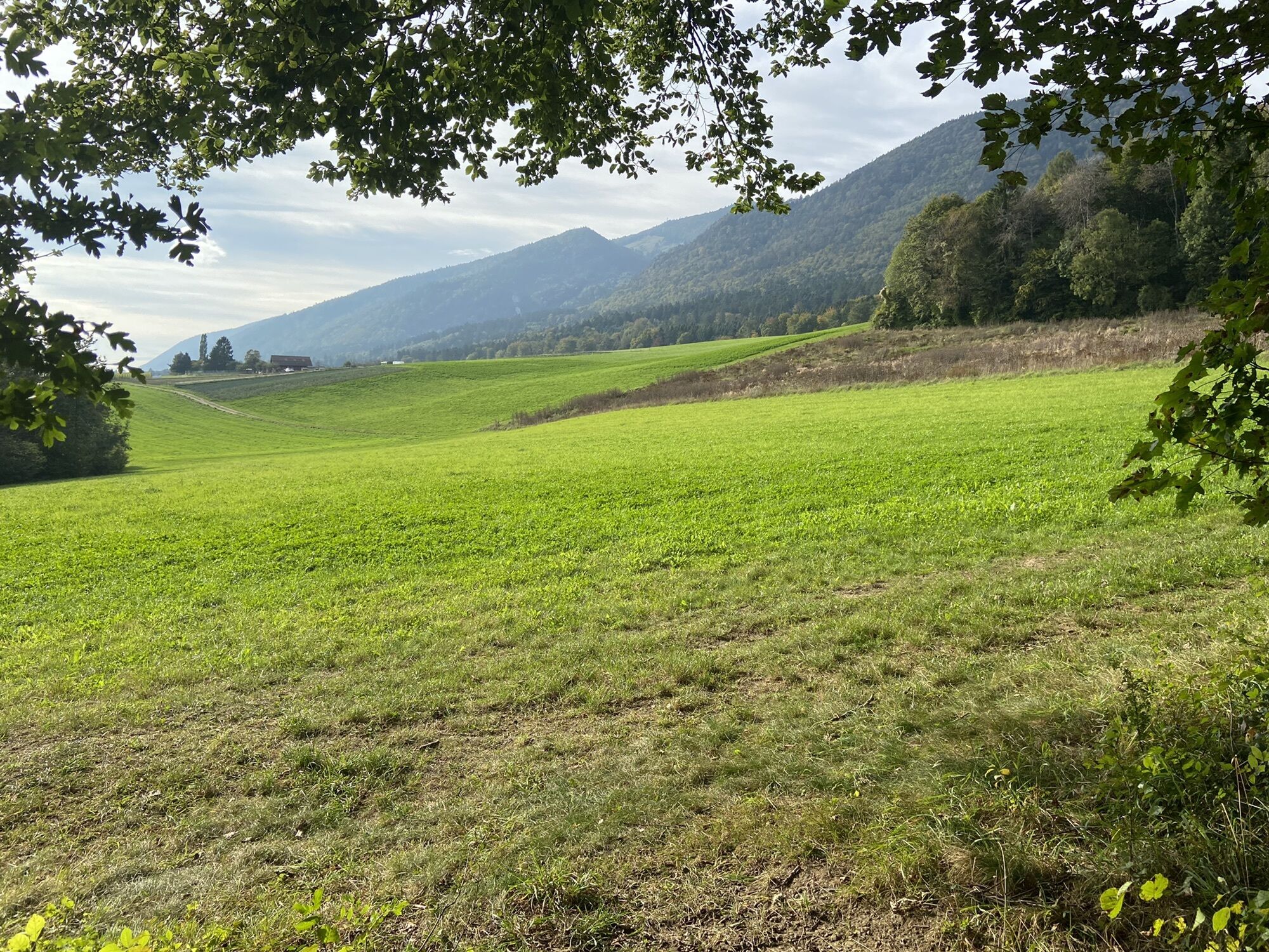
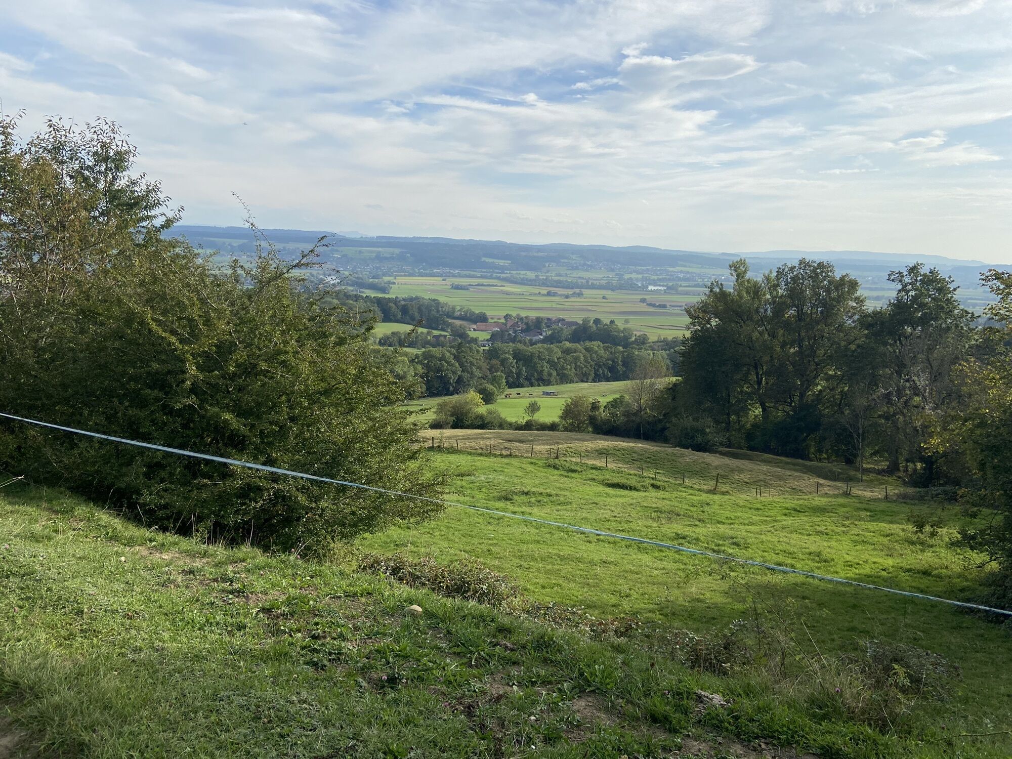
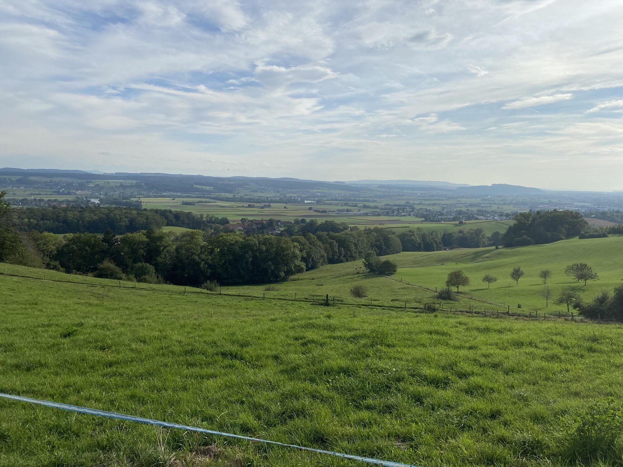
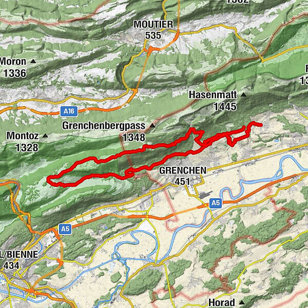
Lommiswil-Grenchen-Romont-Vauffelin-Plagne-Romonberg-Stiereberg-Lommiswil

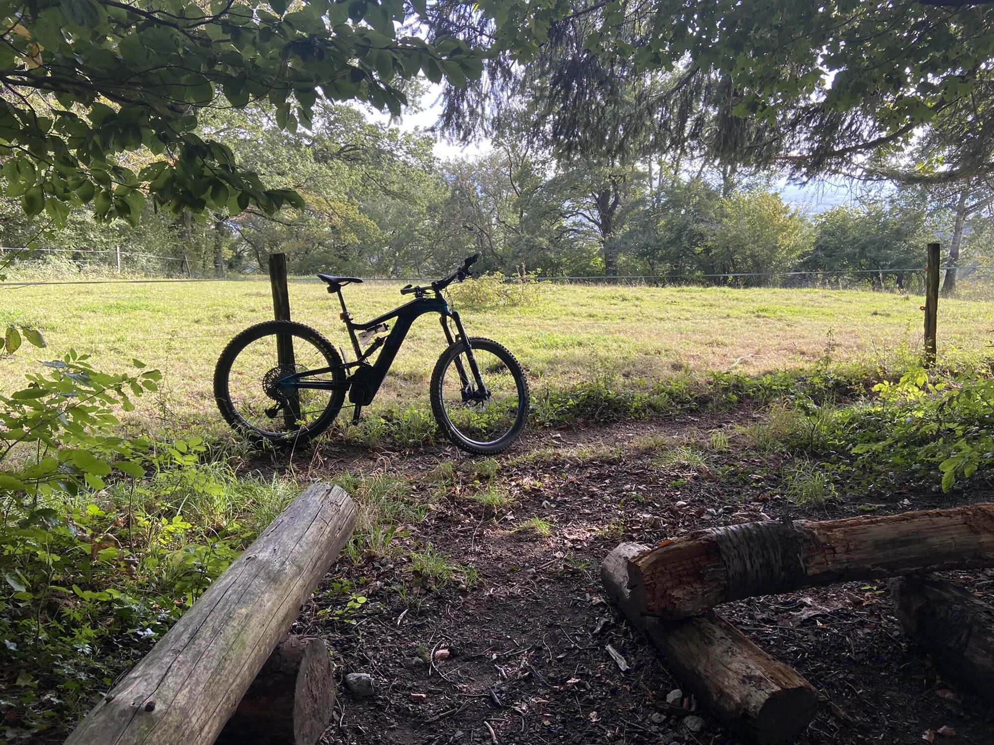
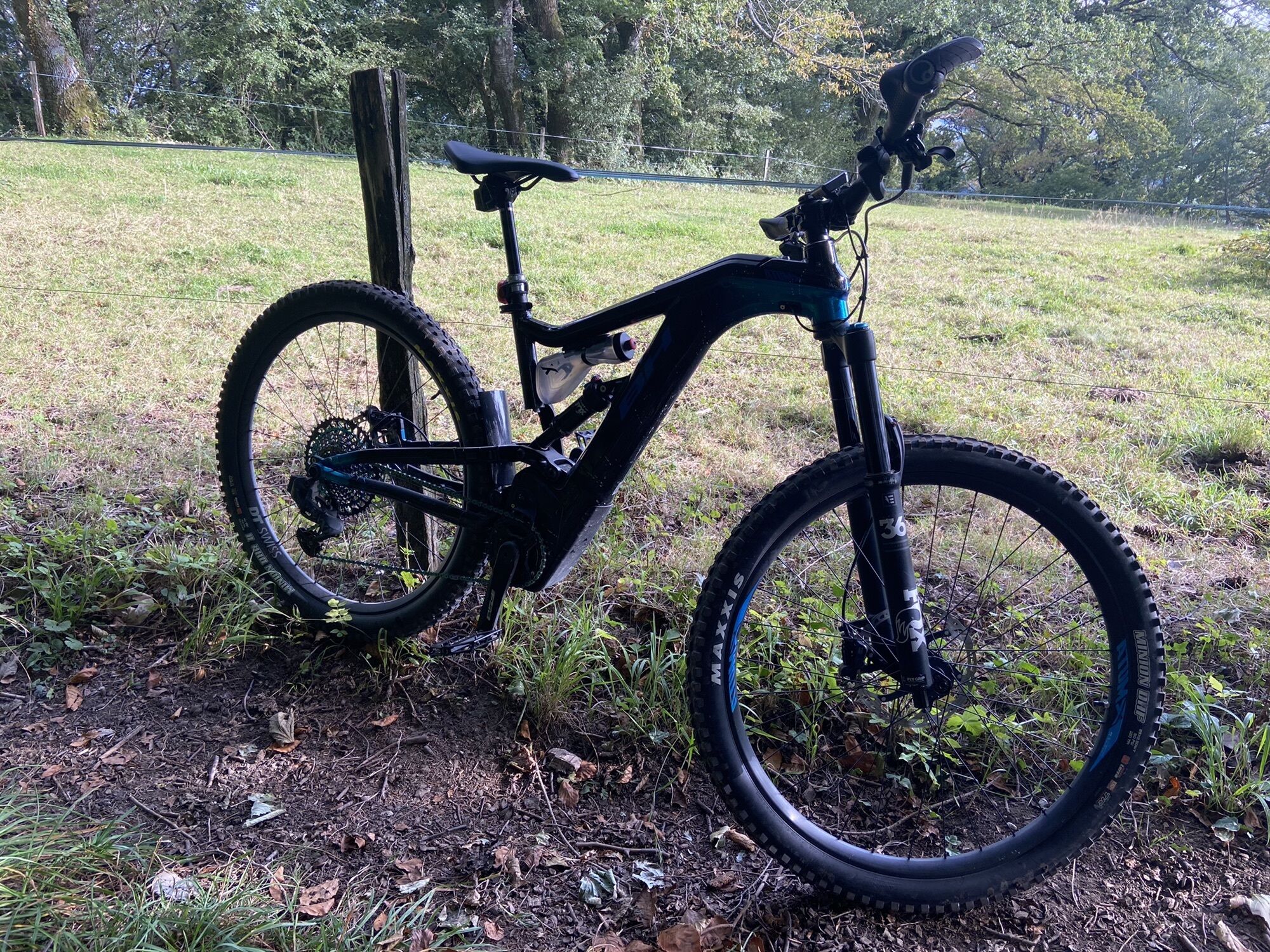
E-MTB


Tour data
37.5km
533
- 1,197m
1,015hm
1,042hm
02:58h
- Brief description
-
Lommiswil-Grenchen-Romont-Vauffelin-Plagne-Romonberg-Stiereberg-Lommiswil
- Difficulty
-
easy
- Rating
-
- Route
-
Grenchen (451 m)4.9 kmRomont BE (907 m)11.1 kmVauffelin (707 m)15.0 kmPlagne (862 m)16.1 kmRomontberg21.6 kmMontagne de Romont21.7 kmWäsmeli24.8 kmStierenberg25.3 kmKänelmoos35.6 km
- Highest point
- 1,197 m