


- Brief description
-
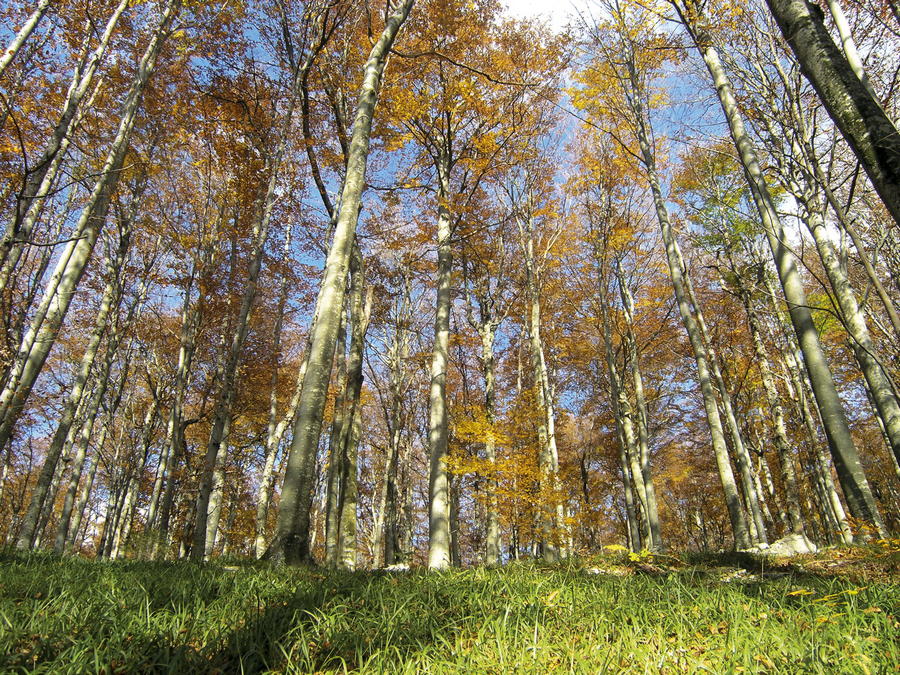
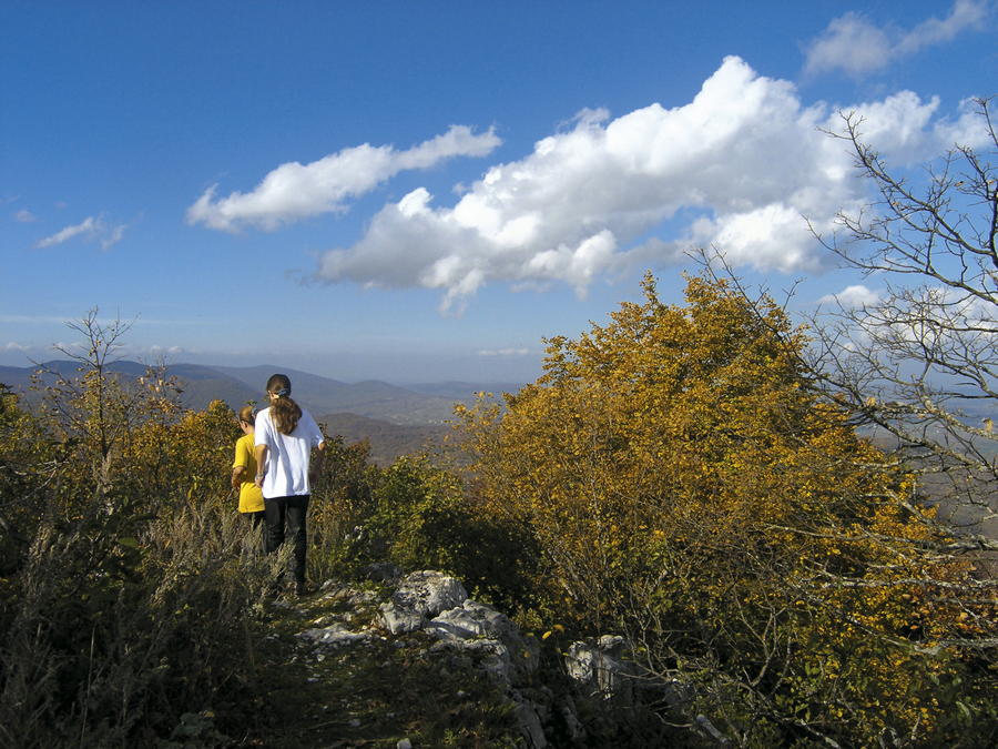
In the far eastern part of the region of Lika, there is no suitable tourism and excursion infrastructure that would allow for a tour of the Via Dinarica Green Line in a classical hiking manner, with the exception of a limited area in the immediate vicinity of Plitvice Lakes.
- Difficulty
-
medium
- Rating
-
- Starting point
-
Plitvička jezera
- Route
-
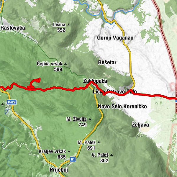
Plitvička JezeraMedvjeđak oštri4.7 kmZaklopača11.5 kmLičko Petrovo Selo13.1 km
- Best season
-
JanFebMarAprMayJunJulAugSepOctNovDec
- Description
-
Since there is a plan in place to establish a section of the E-6 European Long-Distance Path in the area from Ogulin across Plitvice Lakes to the border crossing point Ličko Petrovo Selo, the Via Dinarica corridor passing through this region will use the future E-6 route in the area once this route becomes available. Until then, hikers can use the old hiking trail across Oštri Medvjeđak and two bypass road routes leading from Plitvice Lakes to Ličko Petrovo Selo. Once in Ličko Petrovo Selo, all that is left is to continue by road to the border crossing point, where Via Dinarica leaves Croatia and continues its journey in Bosnia and Herzegovina.
- Highest point
- 878 m
- Endpoint
-
Granički prijelaz Ličko Petrovo Selo - Izačić
- Height profile
-
 © outdooractive.com

-

-
AuthorThe tour Via Dinarica HR-G-08 Eastern Lika is used by outdooractive.com provided.

