

- Brief description
-
Hiking or cycling trail
- Difficulty
-
easy
- Rating
-
- Starting point
-
Hotel Šport, Otočec
- Route
-
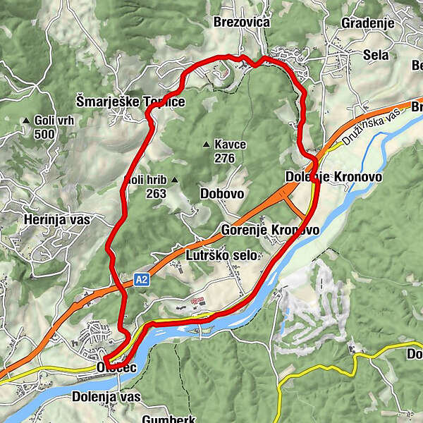
Dolenja vasOtočec0.0 kmŽupnijska cerkev sv. Petra0.1 kmŠoferska1.3 kmGorenje Kronovo2.8 kmDolenje Kronovo3.6 kmPenzion Gostilna Domen4.3 kmBrezovica6.1 kmTöplitz7.6 kmDolenja vas11.3 kmOtočec11.3 km
- Best season
-
JanFebMarAprMayJunJulAugSepOctNovDec
- Description
-
The path along the side roads from Otočec to Šmarješke Toplice and back between the vineyards
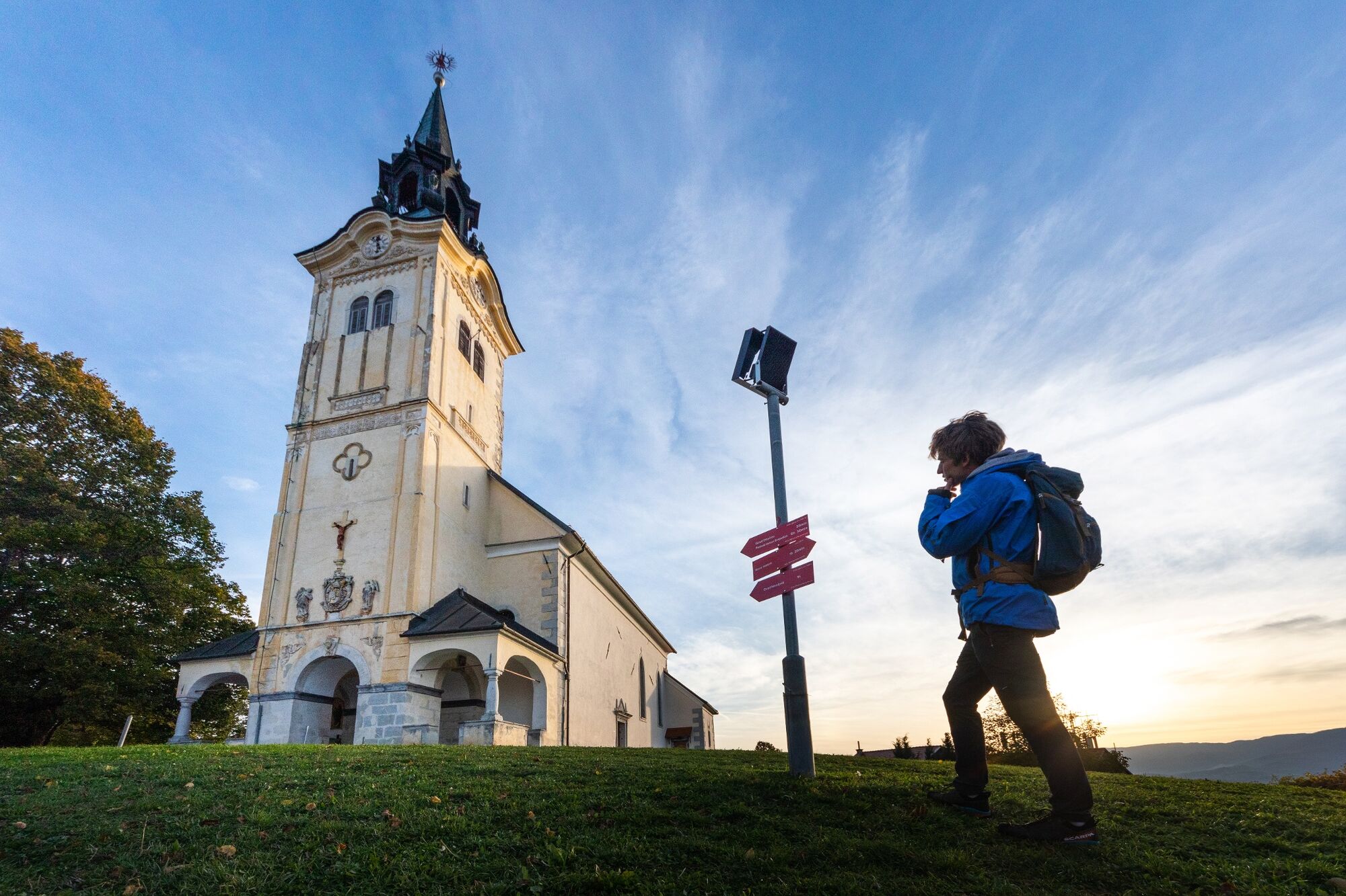
We start the journey at the Sports and Recreation Center Otočec. Along the river Krka we pass a wooden bridge leading to the Otočec Castle
- Directions
-
We continue along the asphalt road along the left bank of the river Krka to Dol, Kronovo.
From Kronovo onwards, we will walk along the sidewalk. Hint for jumping off the trail: if you continue straight from Kronovo in the direction of Šentjernej to Draga (2 km), you can see the church of Sv. Helena, in which Cyril and Methodius had been marching for a long time when they were returning from the Pleterje Carthusian Monastery. There we can refresh ourselves with a well. In Kronovo we turn towards Šmarješke Toplice.
Through the park past Terme Šmarješke Toplice we continue along the ascending road towards Žaloviče. The ascent ends at the chapel, where we go straight (direction Trška gora) towards the old village of ŠmarješkeToplice. Straight through the village, the path leads us to the fields, where (admiring the beautiful grassy terraces) we continue our way to the chapel. At the chapel, at the crossroads, turn right, uphill towards Paha, and soon soon turn left into Herinjova vas. From the center of Herinja vas we then descend into the valley, to the underpass under the motorway, straight towards the primary school in the village of Otočec. Through the new settlement, then right into the underpass of the local road to the center of the village, then left to the road that leads us over the river Krka past the cemetery in the direction of Otočec Castle and Šmarješke Toplice
- Highest point
- 269 m
- Endpoint
-
Hotel Šport, Otočec
- Height profile
-
 © outdooractive.com
 - Equipment
-
We continue along the asphalt road along the left bank of the river Krka to Dol. Kronov.
- Directions
-
On highway LJ-Novo Mesto
- Public transportation
-
Local bus to Otočec, or train to Novo Mesto
- Parking
-
Available
- Author
-
The tour Family path is used by outdooractive.com provided.

