- Brief description
-
Hiking or cycling macadam trail
- Difficulty
-
easy
- Rating
-
- Starting point
-
Hotel Šport Otoče
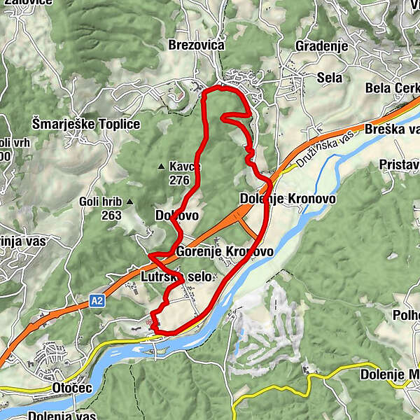
- Route
-
Lutrško selo0.6 kmDobovo2.0 kmPenzion Gostilna Domen5.9 kmDolenje Kronovo6.4 kmGorenje Kronovo7.3 km
- Best season
-
JanFebMarAprMayJunJulAugSepOctNovDec
- Description
-
An undemanding macadam path, that represents the shortest connection between Otočec and Šmarješke Toplice.
- Directions
-
At Otočec, we will find the first marking on the way at the playgrounds north of the Otočec Sports and Recreation Center. We cross the meadow, turn right on the asphalt road. In the village of Lutrško selo, turn left, through the village, continue along the overpass over the motorway, and immediately afterwards turn right onto a macadam path that takes us to the footbridge over the stream. We ascend across the meadow to Dobova, left along the road past the houses and then at the sign to the right uphill to the macadam path into the forest, which is already part of ŠmarješkeToplice.
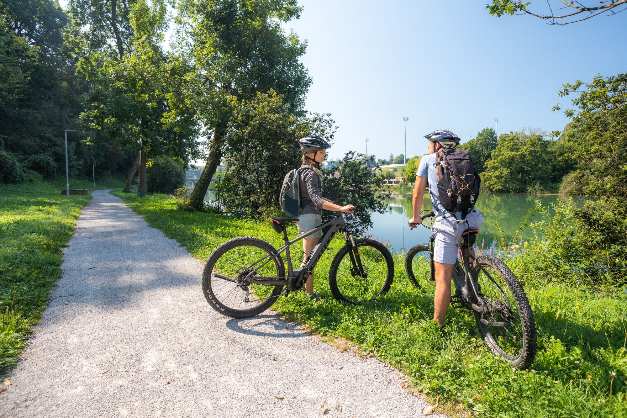
After a 20-minute walk through the forest, a steep descent takes us straight to the park of Terme Šmarješke Toplice. Otočec Sports and Recreation Center offers opportunities for skiing, tennis, ball games, there is also a small sauna center with whirlpool and massage parlor, fitness and bistro. Tango Restaurant with a large shaded terrace serves lunch, dinner, desserts, ice cream and refreshing drinks. Terme Šmarješke Toplice is known and appreciated for the treatment of cardiovascular diseases, the offer for athletes and the modern wellness center Vitarium Spa & Clinique.
The center's relaxing programs are designed to strengthen health, lose weight and detoxify. Among the pools with healing thermal water, a special feature is the unique wooden pool, which lies above the thermal spring itself. The hotel complex is surrounded by Nordic walking trails. You can refresh yourself on the hotel terrace and walk along the botanical path through the park, where there is a lotus pond. By bike you can return to the Otočec Hotels on the right along the local road that leads in the direction of Novo mesto. We choose a less busy route on foot: in the park of Terme Šmarješke Toplice we go along the sandy path on the right bank of the stream to the village ŠmarješkeToplice and on to the third wooden bridge, then across the bridge to the main road, continue in our direction to Družinska vas where we can visit Košakov mlin .
At Gostilna pri Jovotu in Družinska vas we turn into the village of Kronovo (where we can see the church of St. Nicholas from 1739, which hides the famous fresco - if we continue from the church along the cart track past the church to the river Krka, we come to a small one (16.8 ha) , but still the largest island in Slovenia) innato right along the local road past the fields in the direction of Otočec. After 2 km we turn in the underpass towards Lutrški selo, and immediately after the underpass we turn left and along a quiet road for 1 km to the Sports and Recreation Center Otočec
- Highest point
- 232 m
- Endpoint
-
Šmarješke Toplice
- Height profile
-
 © outdooractive.com
 - Safety instructions
-
No issues
- Additional information
-
Tip for jumping off the trail: if you continue straight from Kronovo in the direction of Šentjernej to Draga (2km in one direction), you can see the church of Sv. Helena, where Cyril and Methodius celebrated Mass many years ago when they were returning from the Pleterje Carthusian Monastery. There we can refresh ourselves with a well.
Tip 2 for jumping off the trail: if you turn onto the short trail no. 6, we will visit the castles of Otočec and Struga and the golf course.
- Directions
-
On highway from Ljubljana to Novo Mesto
- Public transportation
-
Local bus to Otočec, bus or train to Novo Mesto
- Parking
-
Available
- Author
-
The tour From Otočec to Therme is used by outdooractive.com provided.