Along the Brusniška Hrustavka (cherries from the village of Brusnice) route


- Brief description
- Difficulty
-
medium
- Rating
-
- Starting point
-
Otočec Castle
- Route
-
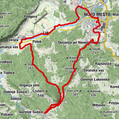
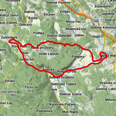
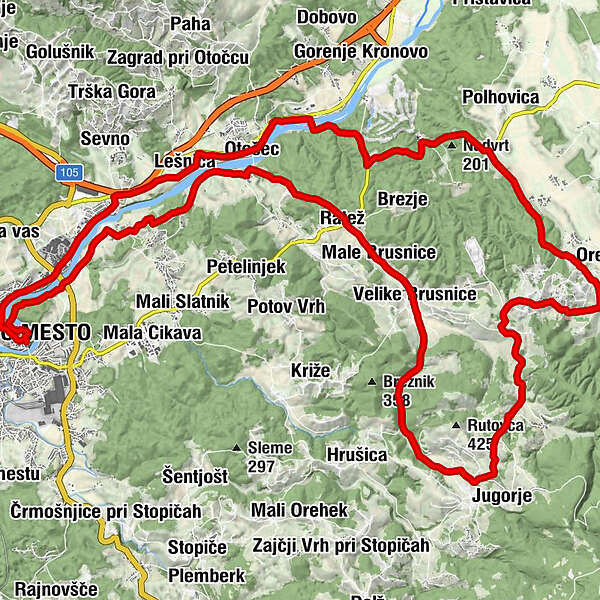
Novo Mesto0.1 kmKrka3.2 kmŽihovo selo5.4 kmLešnica5.6 kmDolenja vas6.4 kmOtočec6.6 kmGumberk (204 m)7.5 kmGostilna Vovko8.4 kmRatež (182 m)8.7 kmMale Brusnice (205 m)9.5 kmPri Mački10.3 kmVelike Brusnice (251 m)10.6 kmGabrje14.9 kmSveti Mati Božja15.0 kmJugorje15.2 kmGorenji Suhadol16.7 kmDolenji Suhadol18.3 kmTolsti Vrh19.7 kmVrhovo20.9 kmHrastje21.4 kmZapuže21.9 kmPristava pri Šentjerneju22.9 kmDolenje Mokro Polje24.3 kmŽupnijska cerkev sv. Petra30.0 kmOtočec30.1 kmDolenja vas30.2 kmLešnica31.3 kmŽihovo selo31.6 kmStražna32.6 kmPicerija Mačkovec33.0 kmMačkovec33.1 kmKrka33.4 kmNovo Mesto36.6 km
- Best season
-
JanFebMarAprMayJunJulAugSepOctNovDec
- Description
-
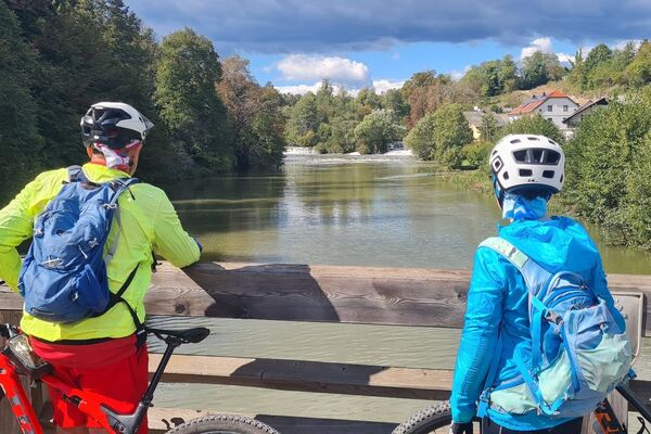
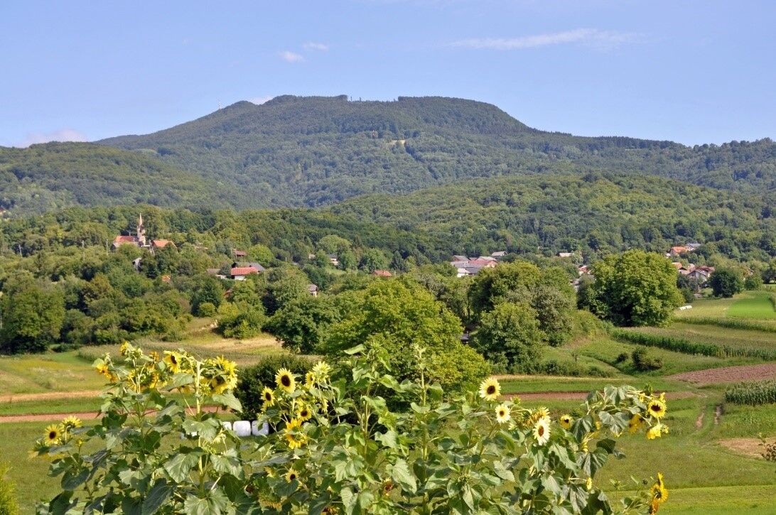
Most of the trail leads through the village of Velika Brusnica, which is renowned for its indigenous cherry variety called Brusniška Hrustavka. The trail is especially beautiful in the spring when you are accompanied by flowering trees, or if you take the route in June, when everything in the village revolves around cherries and when the traditional Brusniška Hrustavka Cherry Festival takes place. The picturesque trail that leads through several villages at the foot of Gorjanci and also across the vine-clad hills is marked by many interesting features, among other things, it takes you past four castles.
- Directions
-
Directions: Novo mesto–Ragovo–Graben–the village of Krka–Žihovo selo–Dolenja vas–Gumberk–Male Brusnice–Velike Brusnice–Gabrje–Gorenji Suhadol–Dolenji Suhadol–Tolsti Vrh–Vrhovo–Hrastje–Gracarjev turn–Pristava pri Šentjerneju–Dolenje Mokro Polje–Struga–Otočec Castle–Otočec–Lešnica–Mačkovec–Novo mesto
- Highest point
- 414 m
- Endpoint
-
Otočec Castle
- Height profile
-
 © outdooractive.com
 - Equipment
-
Helmet and some water....and backpack for cherrys
- Tips
-
Best when cherrys blossom
- Additional information
-
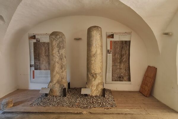
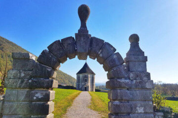
Highlights on the trail: Old Town, Velike Brusnice – the archaeological past exhibition of Brusniška Hrustavka, Brusniška Hrustavka (cherries from the village of Brusnice), the Krka River, yellow azalea, Vrhovo Castle, Gracarjev turn Castle, Otočec Castle, Struga Castle, Otočec golf course
- Directions
-
Ljubljana- Novo Mesto- Otočec
- Public transportation
-
Novo Mesto is easily accessible by bus or train. To Otočec you go by bike.
- Parking
-
Free parking
- Author
-
The tour Along the Brusniška Hrustavka (cherries from the village of Brusnice) route is used by outdooractive.com provided.