
© belakrajina.si
© belakrajina.s

© belakrajina.s

© belakrajina.s
- Brief description
-
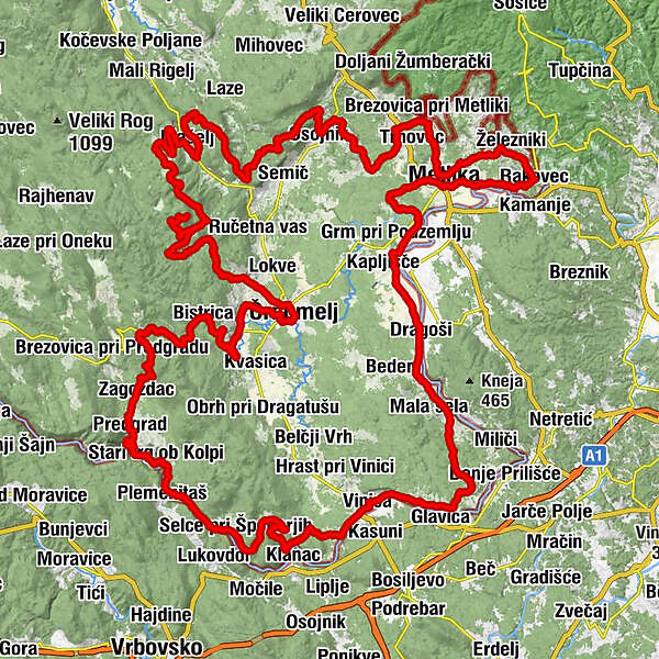
200 km long circular route through Bela Krajina via asphalt roads and macadam paths
- Difficulty
-
difficult
- Rating
-
- Starting point
-
Črnomelj
- Route
-
Tschernembl0.1 kmPicerija Strgar0.8 kmSvibnik2.1 kmZajčji Vrh3.5 kmJelševnik4.9 kmDobliče6.4 kmGrič pri Dobličah9.0 kmDoblička Gora10.3 kmBistrica12.9 kmMiklarji15.4 kmGorenja Podgora24.3 kmZagozdac25.3 kmJelenja vas26.9 kmPredgrad27.8 kmDol31.3 kmŠtefanci31.9 kmPrelesje32.3 kmKot ob Kolpi32.9 kmBlaževci33.5 kmSodevci34.0 kmZapeć35.2 kmDečina (186 m)35.5 kmSrednji Radenci36.9 kmGorenji Radenci36.9 kmDolenji Radenci37.3 kmBreg pri Sinjem Vrhu41.1 kmHrib41.2 kmŠpeharji41.7 kmDalnje Njive43.8 kmSinji Vrh46.2 kmDraga pri Sinjem Vrhu49.4 kmDamelj (208 m)51.1 kmUčakovci55.6 kmSečje selo57.9 kmVinica58.7 kmOgulin58.9 kmBar pri Pavliču58.9 kmPodklanec60.1 kmSpahići60.2 kmŽubrinci61.1 kmZilje62.3 kmSrednje Zilje63.2 kmDolnje Zilje63.8 kmPavlini64.3 kmBalkovci64.8 kmPreloka66.7 kmVrhovci72.0 kmGorenjci pri Adlešičih72.7 kmPurga74.4 kmDolenjci75.6 kmJankoviči76.1 kmRim76.4 kmFučkovci77.0 kmDragoši78.0 kmMošanci78.2 kmKrassinz82.3 kmGostišče Kapušin82.3 kmSkrill in der Unterkrain84.2 kmGostišče Veselič84.6 kmPodsemmel84.6 kmSemmel85.3 kmDominitschhof (144 m)87.4 kmKriwoglawetz89.1 kmObersternissenhof90.4 kmMöttling (175 m)94.8 kmRosalnice96.4 kmRadoviči97.7 kmŽelebej99.1 kmBožakovo99.6 kmRakovec101.5 kmHrib (234 m)102.2 kmDrašiči (254 m)104.3 kmČurile108.6 kmSvržaki108.7 kmMöttling (175 m)109.6 kmBerčice111.9 kmGrabrovec113.4 kmBrezovica Žumberačka114.1 kmBušinja vas115.3 kmBereča vas116.1 kmGornja Lokvica117.0 kmKrvavčji Vrh119.9 kmHrib pri Cerovcu121.6 kmGradnik122.2 kmSodnji Vrh122.5 kmPraproče123.2 kmOsojnik126.2 kmBrezova Reber127.7 kmPreloge133.9 kmSela pri Vrčicah136.3 kmHrib pri Rožnem Dolu140.2 kmSrednja vas146.7 kmMašelj147.5 kmČrmošnjice147.8 kmKomarna vas152.6 kmSv. Ilija161.3 kmPlanina161.7 kmPlaninski dom na Mirni gori165.6 kmRožič Vrh178.6 kmNaklo178.9 kmTalčji Vrh180.6 kmDolnja Paka181.6 kmPizzerija pri Klepcu183.6 kmTschernembl184.0 km
- Best season
-
JanFebMarAprMayJunJulAugSepOctNovDec
- Description
-
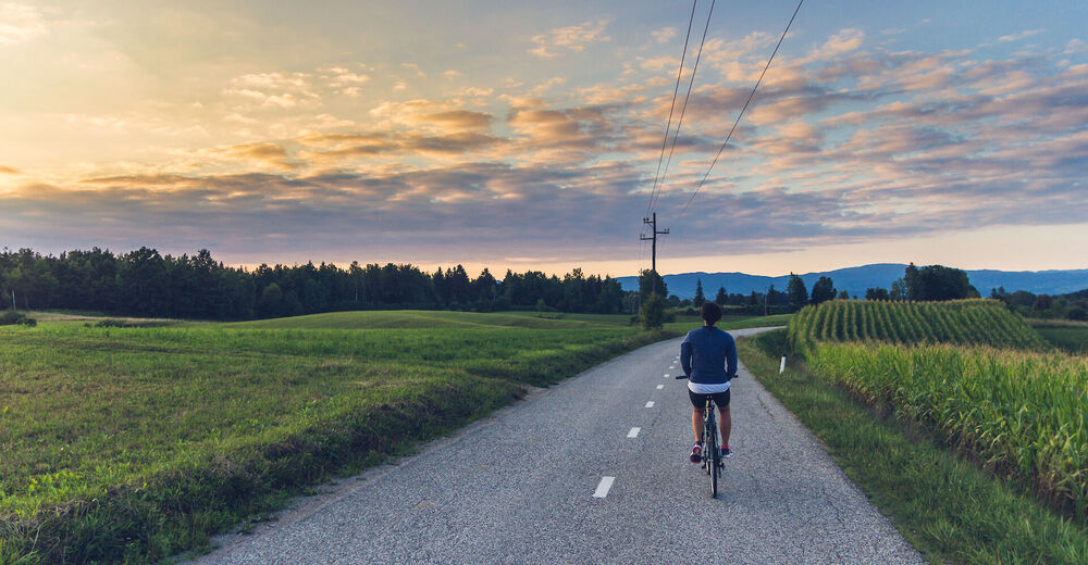
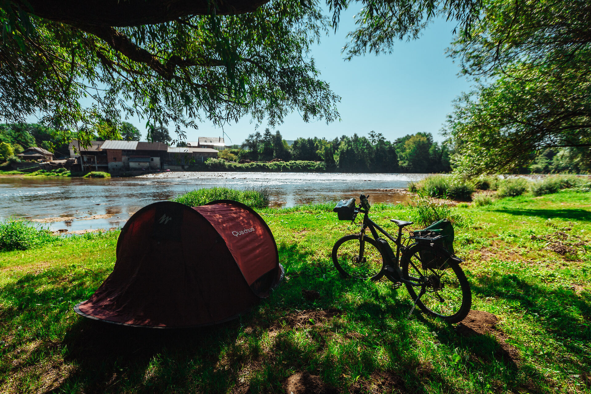
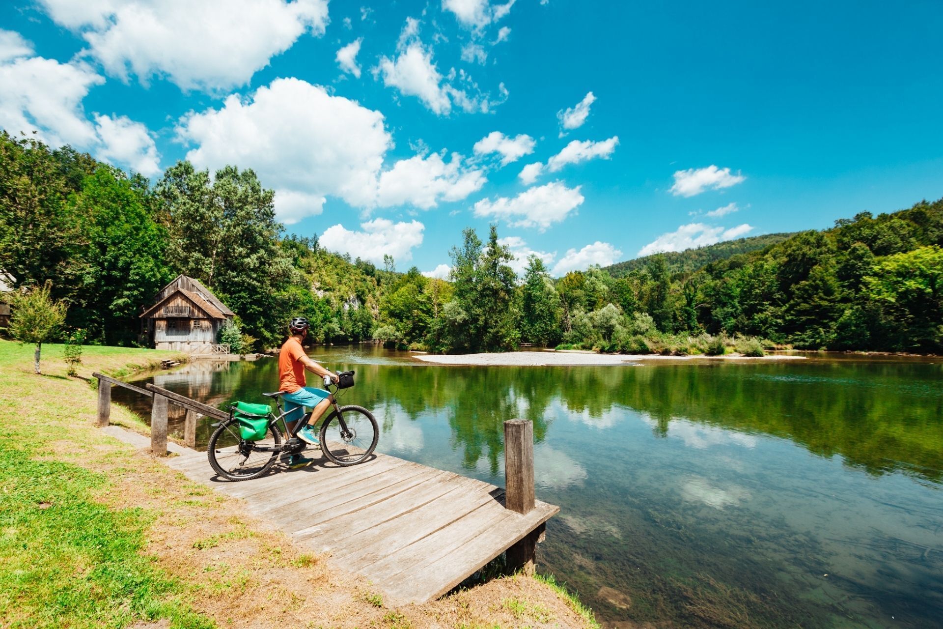
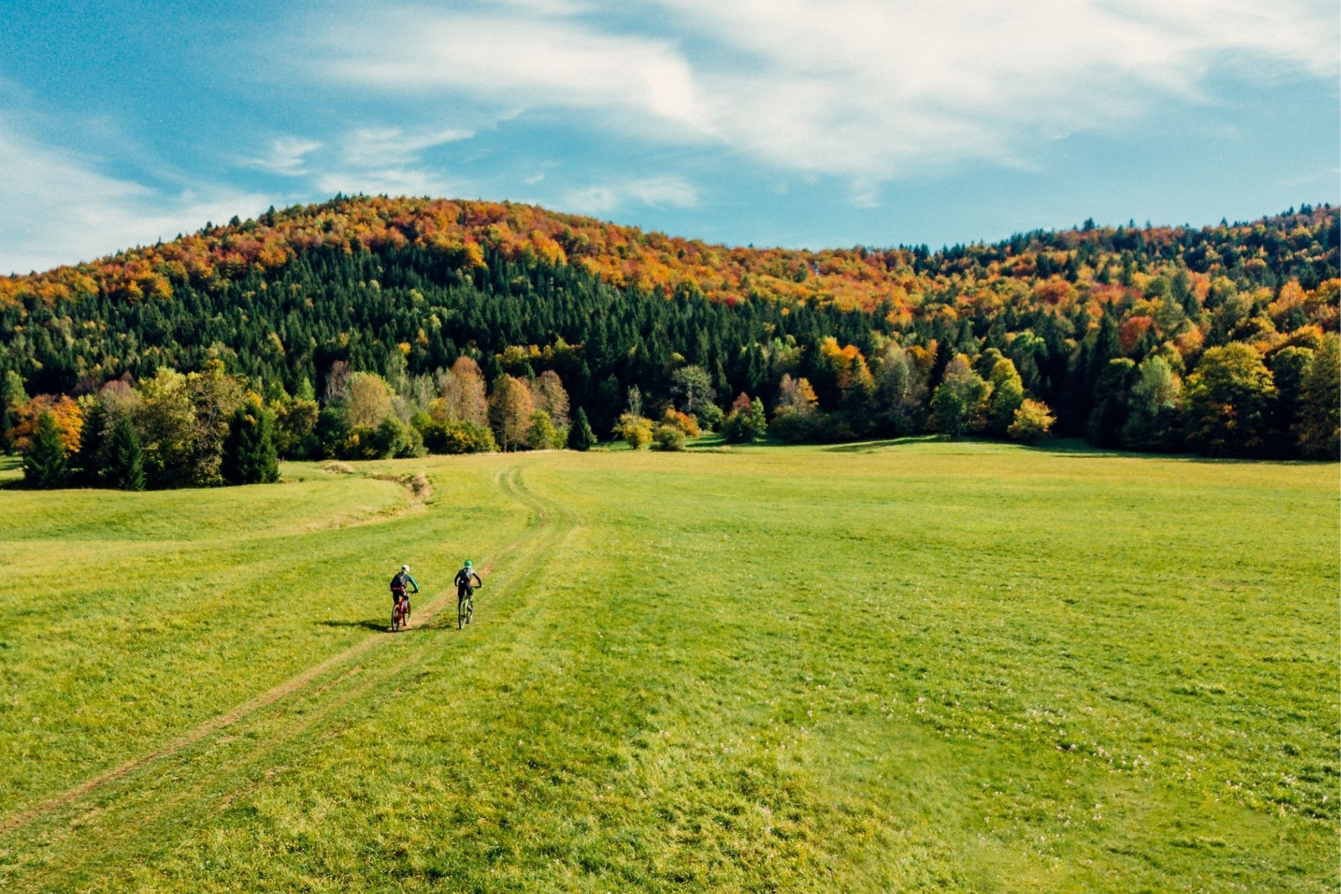
Cycling through the karst landscape between wine-growing hills and meadows, hills, forests and idyllic villages is like a green fairy tale. Explore nature and culture, city centers and the banks of the Kolpa River on the 200-kilometer-long Bela Krajina cycling route.
- Highest point
- 1,000 m
- Endpoint
-
Črnomelj
- Height profile
-
 © outdooractive.com
 - Tips
-
Start: wherever
Length: 200 km
Difficulty: difficult
- Additional information
-
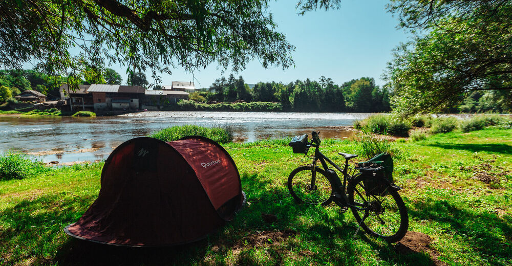
Along the way, you can spend the night in a variety of accommodation in nature or cities and pamper yourself with authentic Bela Krajina cuisine and fine wines.
- Arrival
-
To Novo Mesto on highway, through the city and than to Črnomelj
- Public transportation
-
You can get to Črnomelj by train or bus
- Parking
-
Available
- Author
-
The tour Via Bela Krajina is used by outdooractive.com provided.
GPS Downloads


General info
Refreshment stop
Cultural/Historical
A lot of view