
- Brief description
-
The perfect route with breathtaking landscapes, stunning views and mystical caves for real hiking lovers. Get ready to be amazed by the beauty of mother-nature!
- Difficulty
-
medium
- Rating
-
- Starting point
-
Bus-stop Habrůvka, Josefov
- Route
-
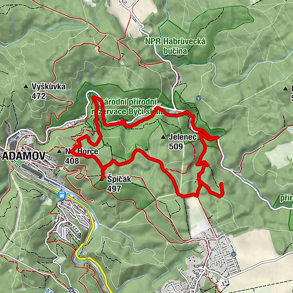
Tróbka malá0.1 kmTróbka velká0.1 kmŠvýcárna0.2 kmJáchymka0.8 kmVývěr Jedovnického potoka1.4 kmBýčí skála1.5 kmJosefovské údolí1.7 kmKostelík1.8 kmvývěry Křtinského potoka2.4 kmVe Vaječníku2.9 kmVaječník3.0 kmAlexandrova rozhledna7.9 kmŠpičák (497 m)7.9 kmAdamsthal8.8 kmTróbka velká11.3 kmTróbka malá11.4 km
- Best season
-
JanFebMarAprMayJunJulAugSepOctNovDec
- Description
-
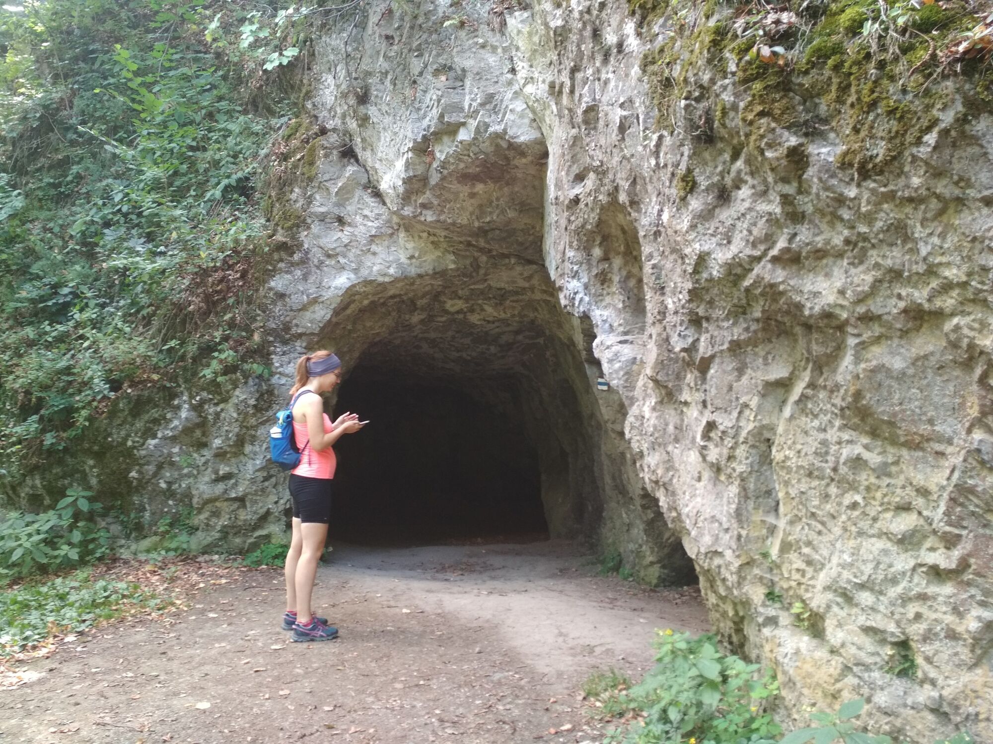
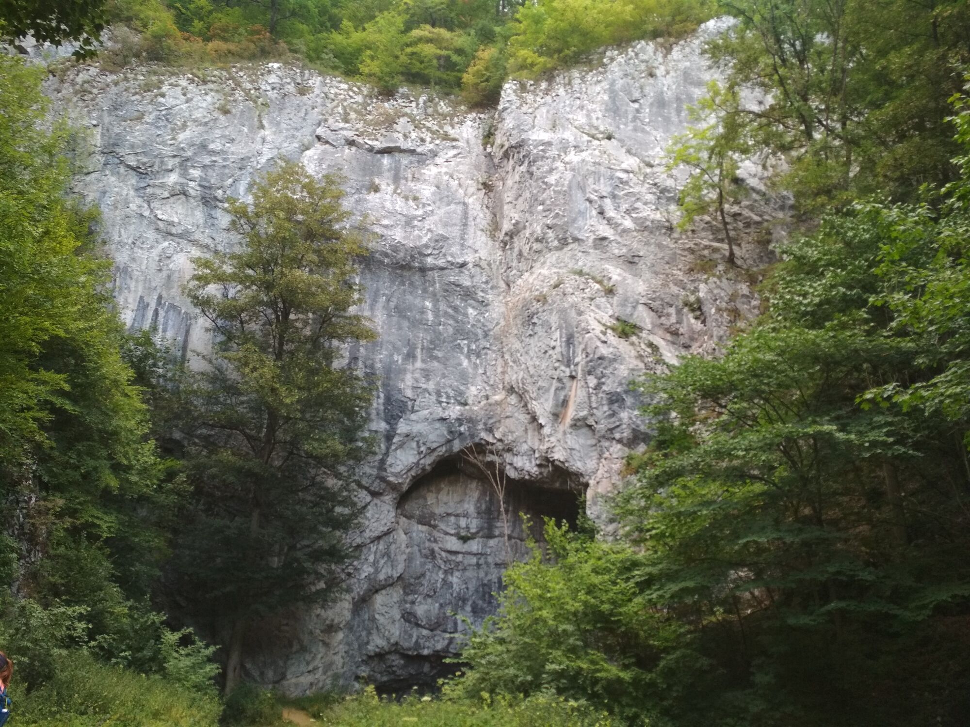
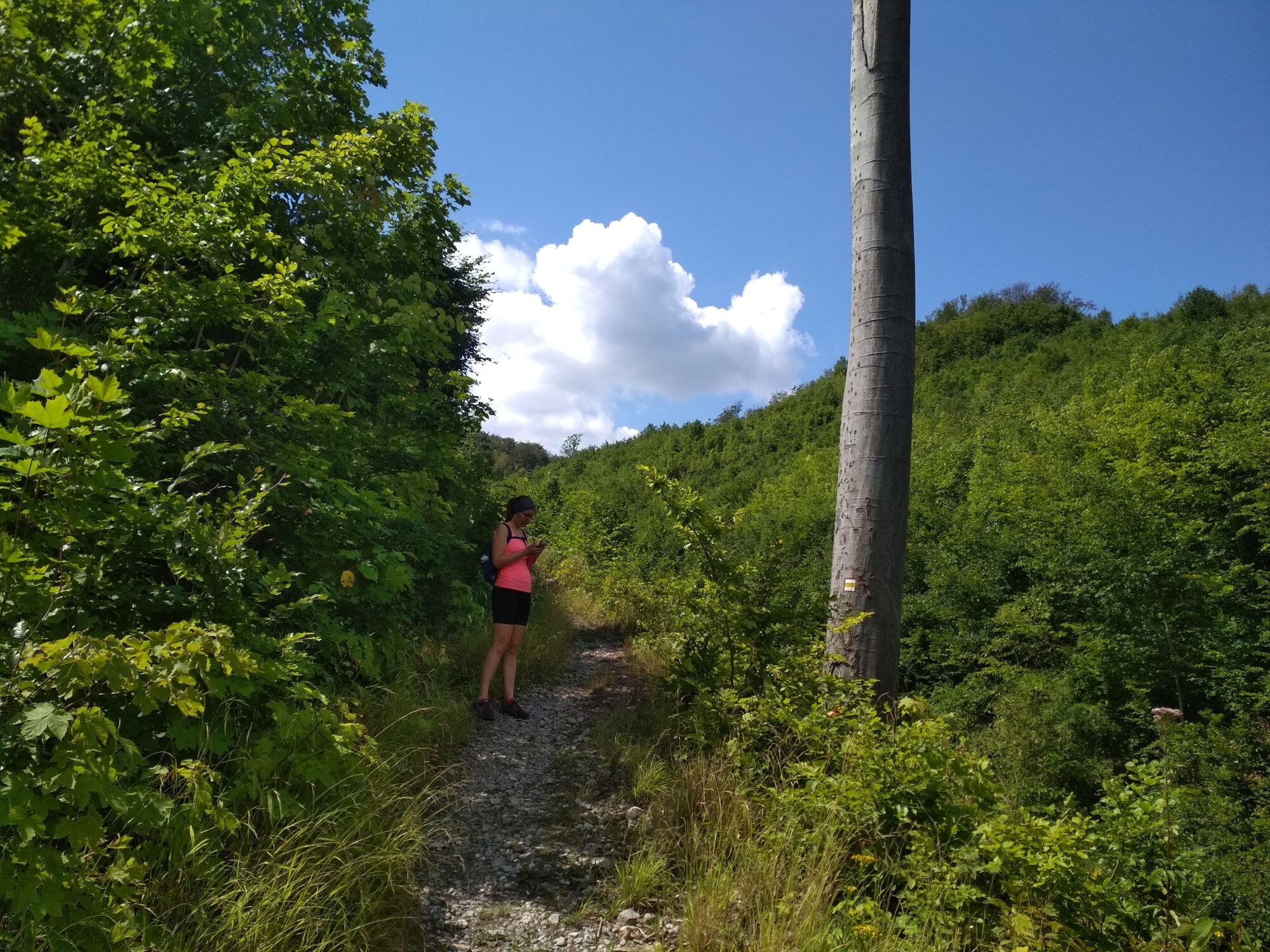
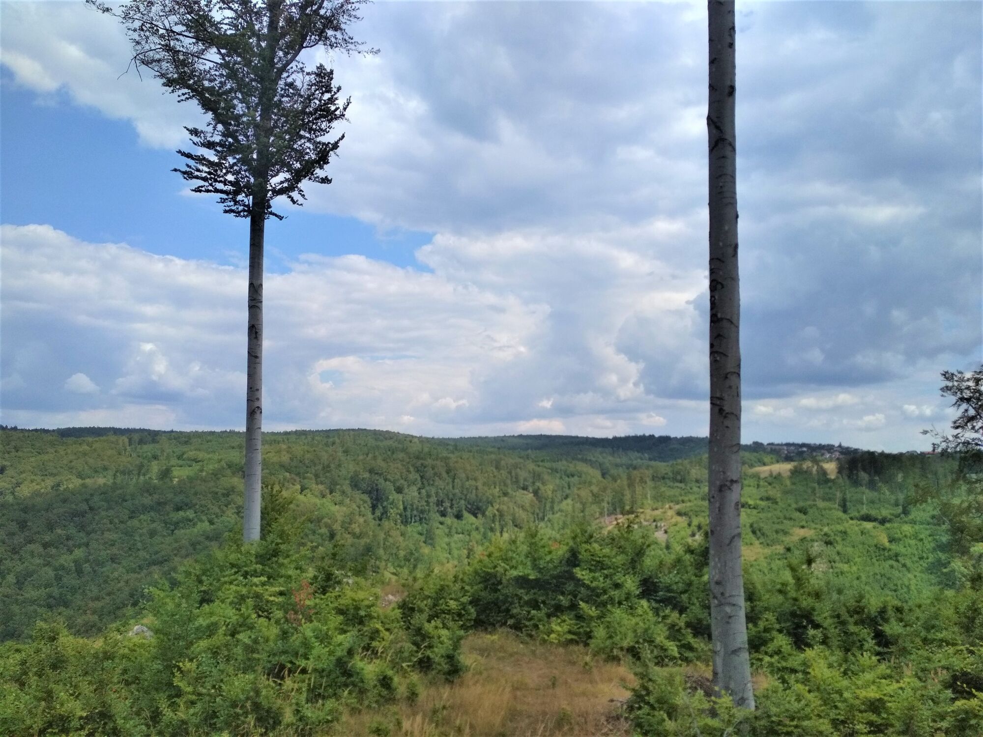
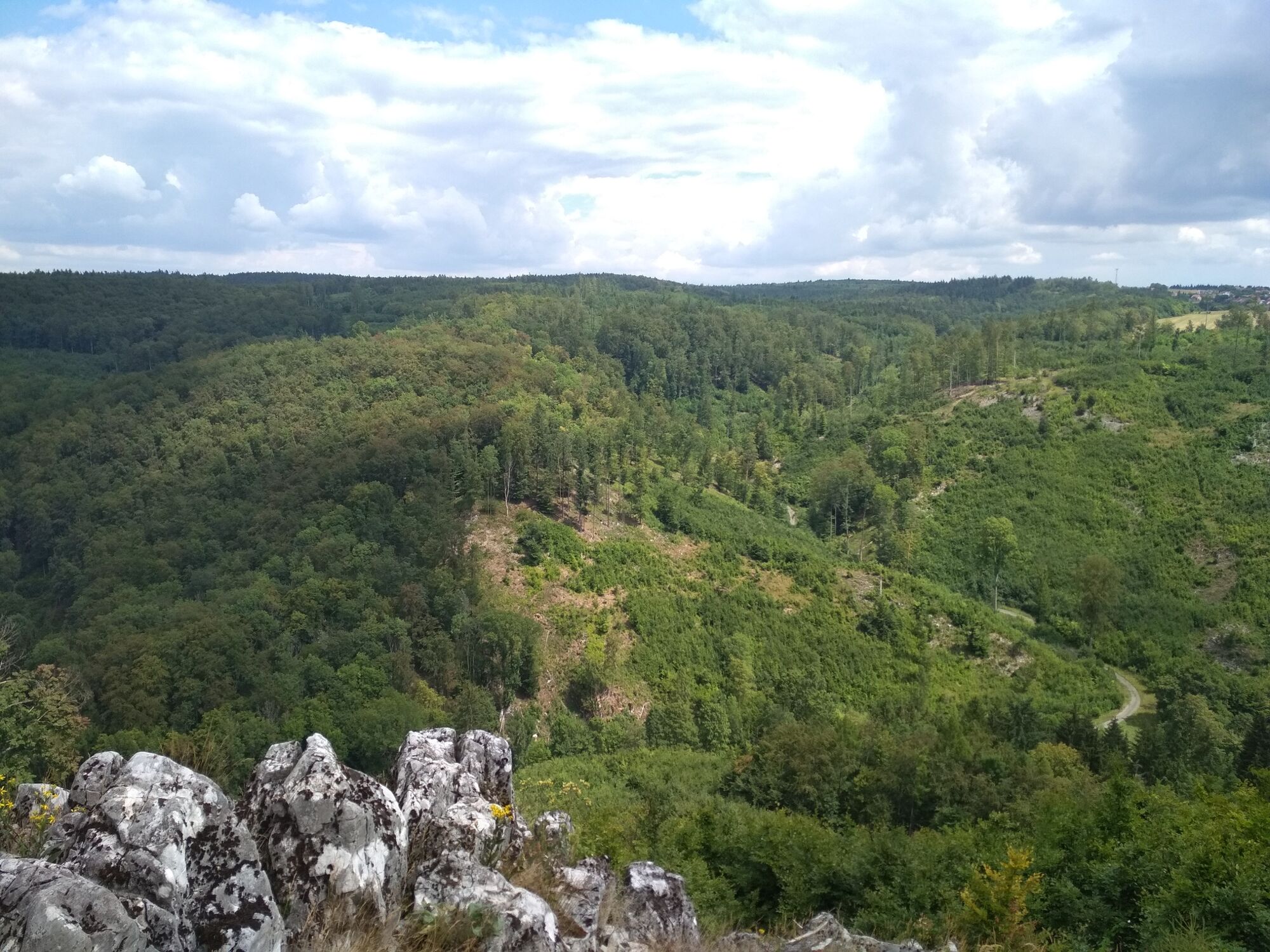
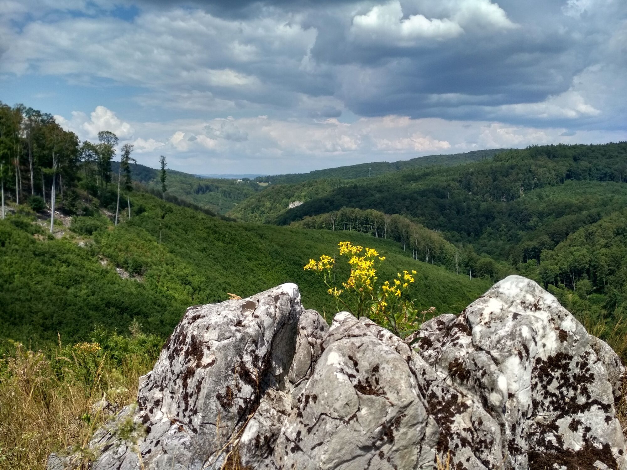
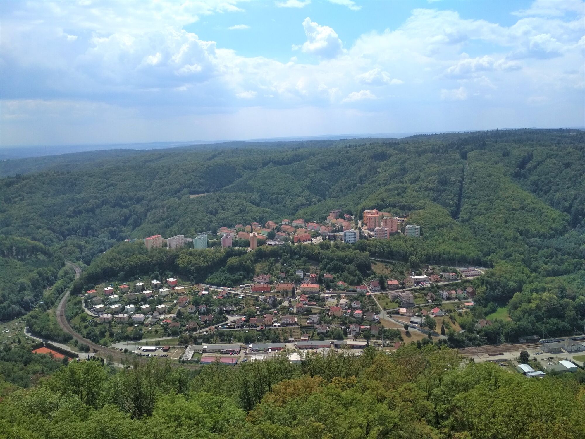
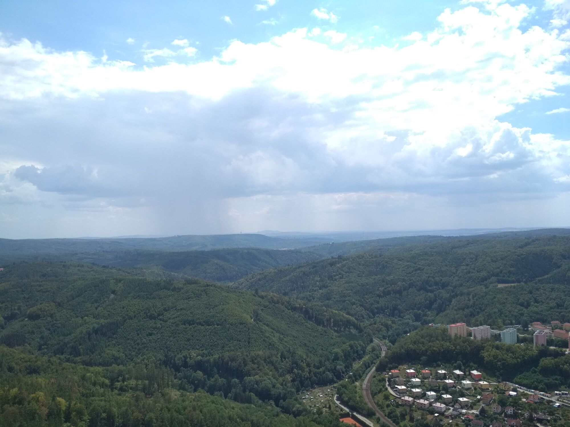
Once you reached the Adamov city, your unforgettable adventure starts. The first thing that you will see on your route is the old fortress called Stará huť u Adamova. Actually you will be surprised by the fact, that in truth it is a metallurgical complex that was built by a real prince! Let's continue our hiking tour to the one of the biggest and the most amazing caves in Adamov, which is a home for real bats! But who knows? Maybe, something else is living there, just turn on your imagination.... Don't stay here for a long time, because a lot of other caves are waiting for you. After going a little bit uphill, mindblowing nature views are opening. It's a good idea to have your lunch at such place, relax and enjoy the beauty. As soon as you are full of energy and inspiration you can continue your tour to the most fascinating point - the tower, from which you can see South Moravian's forests, hills and a miniature of Adamov city. Follow the rest of your path to reach the starting point!
- Highest point
- 519 m
- Endpoint
-
Bus-stop Habrůvka, Josefov
- Height profile
-
 © outdooractive.com
 - Safety instructions
-
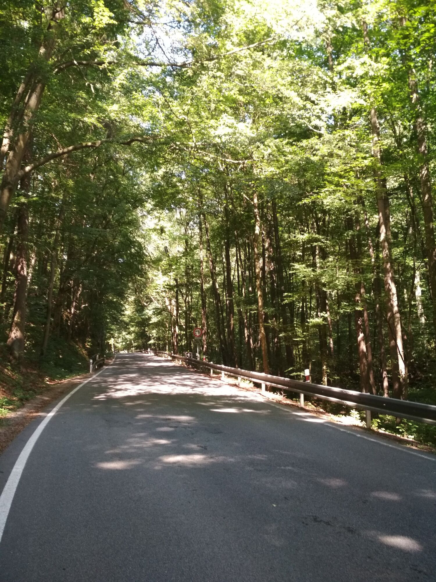
The road is slippery and curvy
- Tips
-
Always be careful and look down not to slip! And don't forget to wear comfortable shoes
- Arrival
-
Getting there by car is the most convenient way to reach the starting point of this hiking route. Use your navigation and enter the coordinates of the bus-stop Habrůvka, Josefov and choose the fastest route from your current location. The exact coordinates are these: 49.3066183N, 16.6775817E . It will take you about 30 mins from the city center of Brno.
- Public transportation
-
You can get to the starting point of this hiking route in about 30-40 mins from the main train station in Brno.
You can take a train from Brno railway station up until Adamov, and then take a short bus-trip from Adamov train station until bus-stop Habrůvka, Josefov. The bus number is 157.
Arrival and departure point of the route is the same.
- Parking
-
There is a free parking at the starting point of the route.


- Author
-
The tour Cave Hiking Route near Adamov is used by outdooractive.com provided.