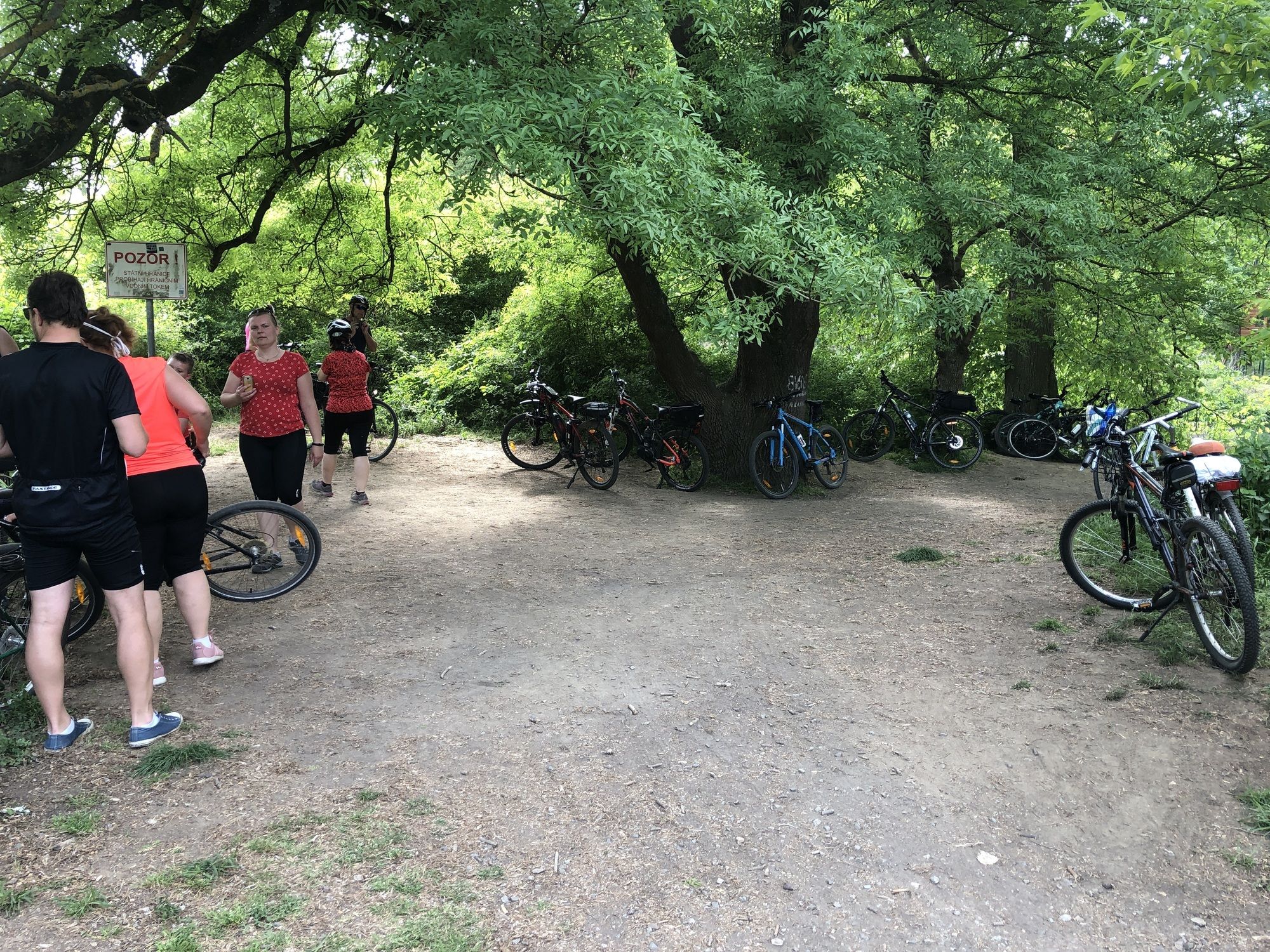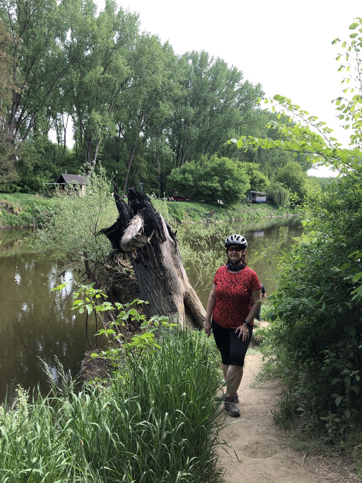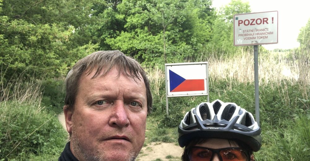
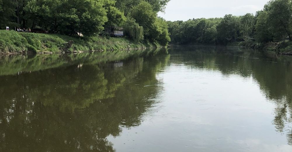
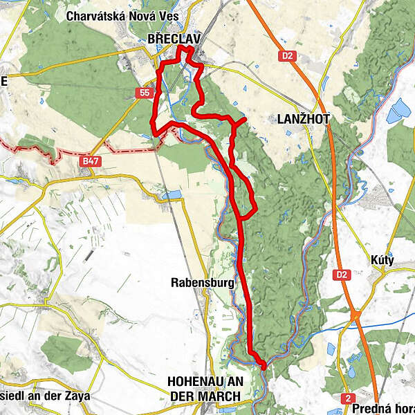
Tour data
42.61km
132
- 170m
119hm
122hm
02:34h
- Brief description
-
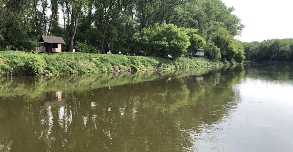
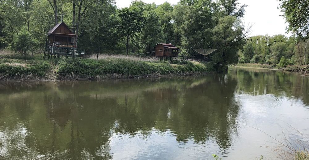
Lehká trasa Krasna příroda
- Difficulty
-
easy
- Rating
-
- Route
-
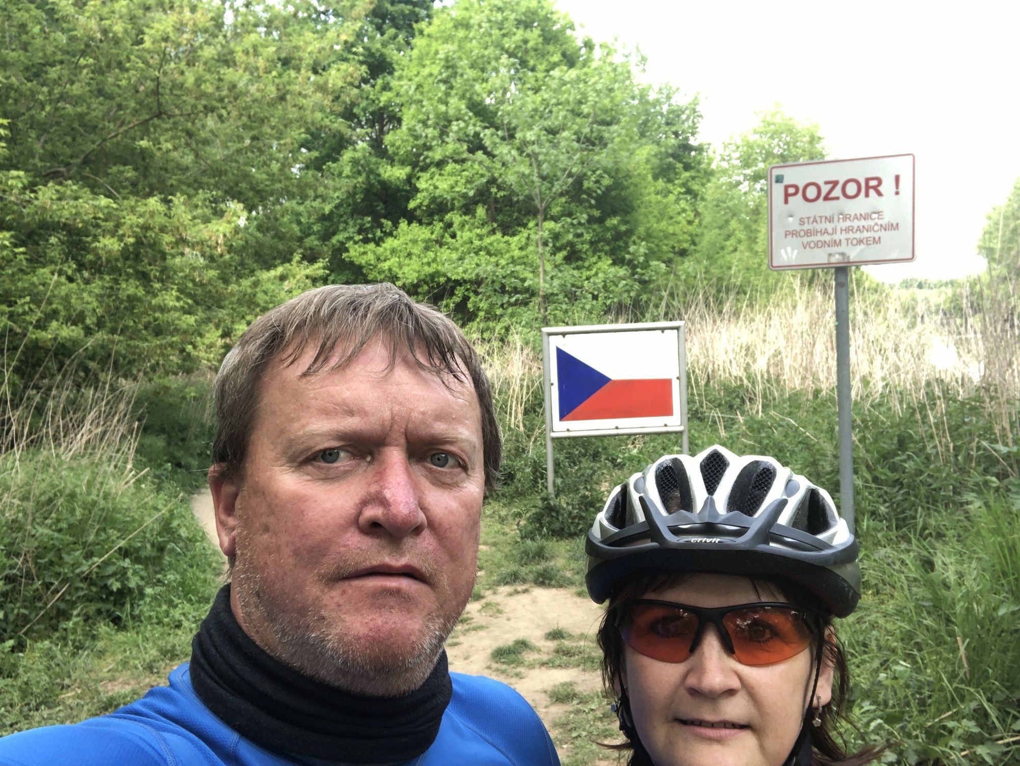
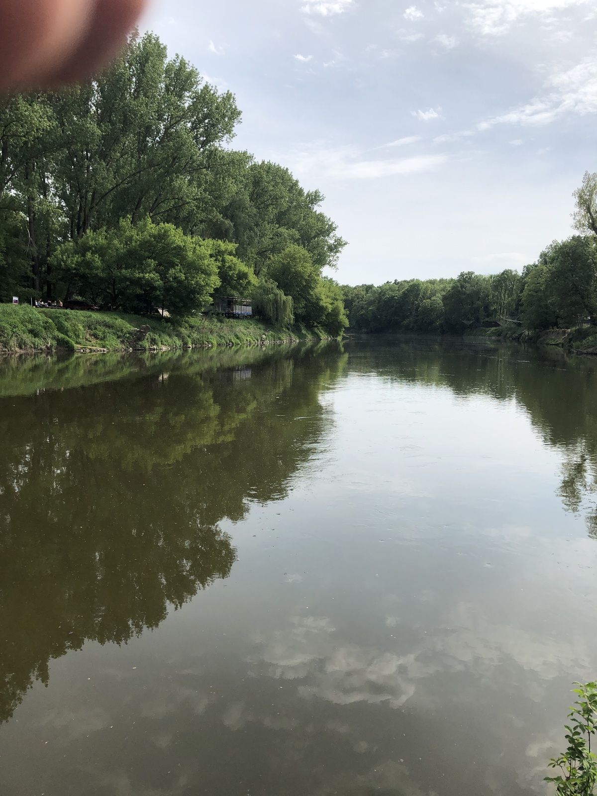
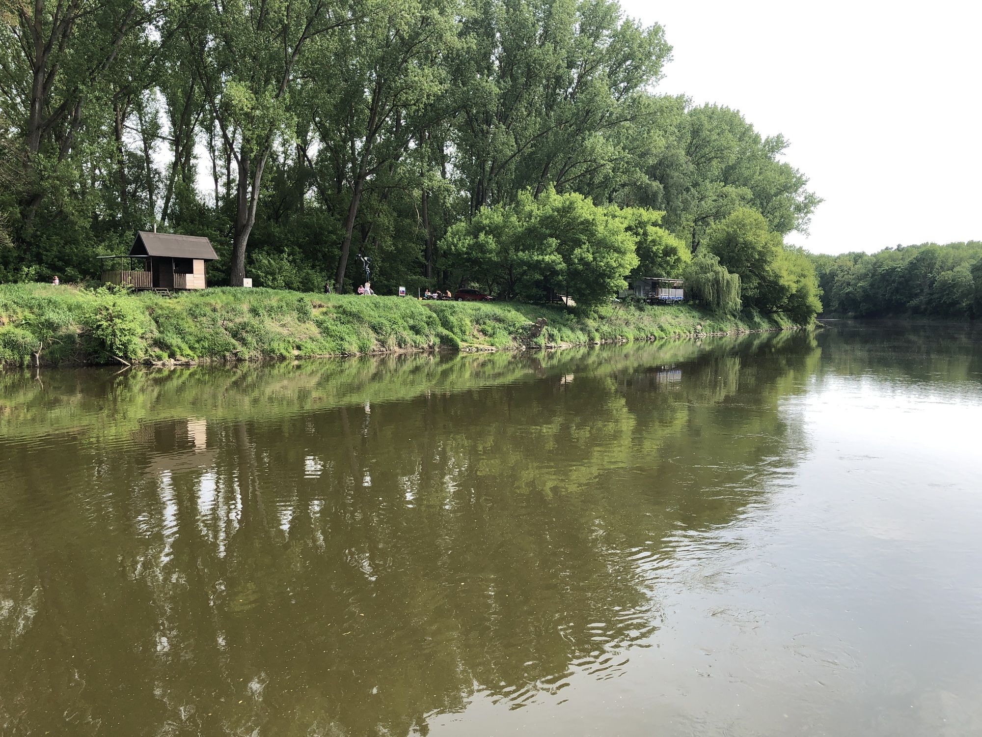
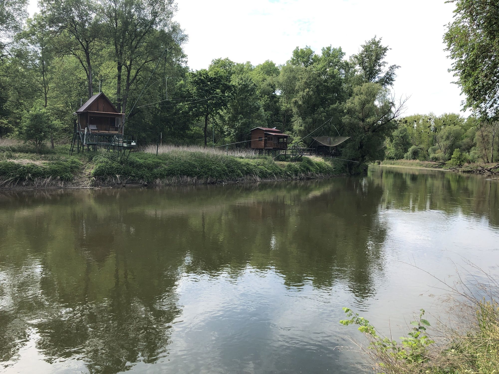
Lundenburg0.0 kmSaint Cyril and Methodius Chapel0.3 kmSoutok Moravy a Dyje21.4 kmUnterthemenau39.7 kmLundenburg41.8 km
- Highest point
- 170 m