


Tour data
41km
164
- 345m
303hm
303hm
03:45h

- Brief description
-
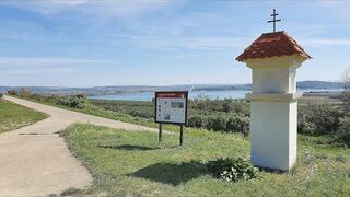
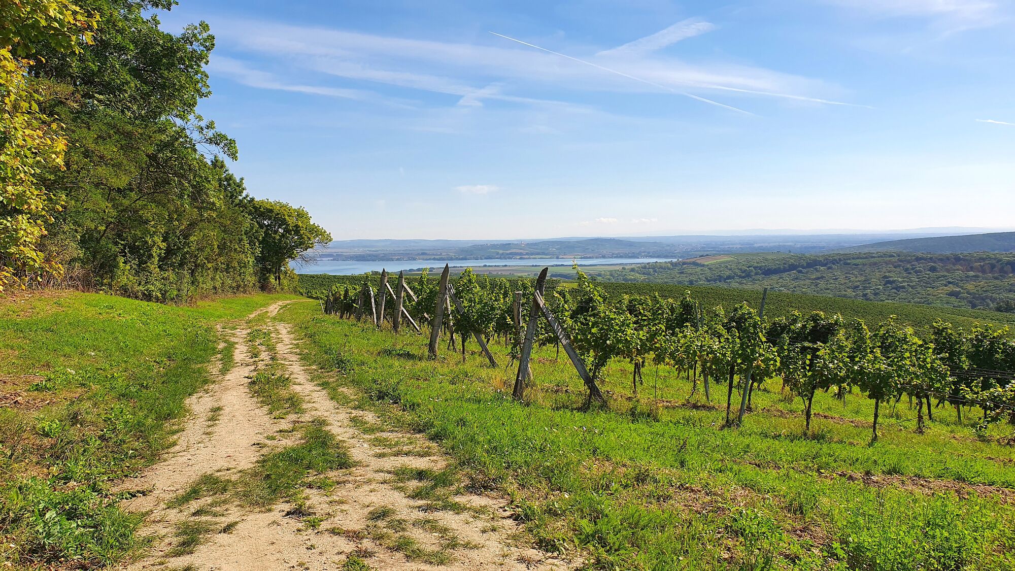
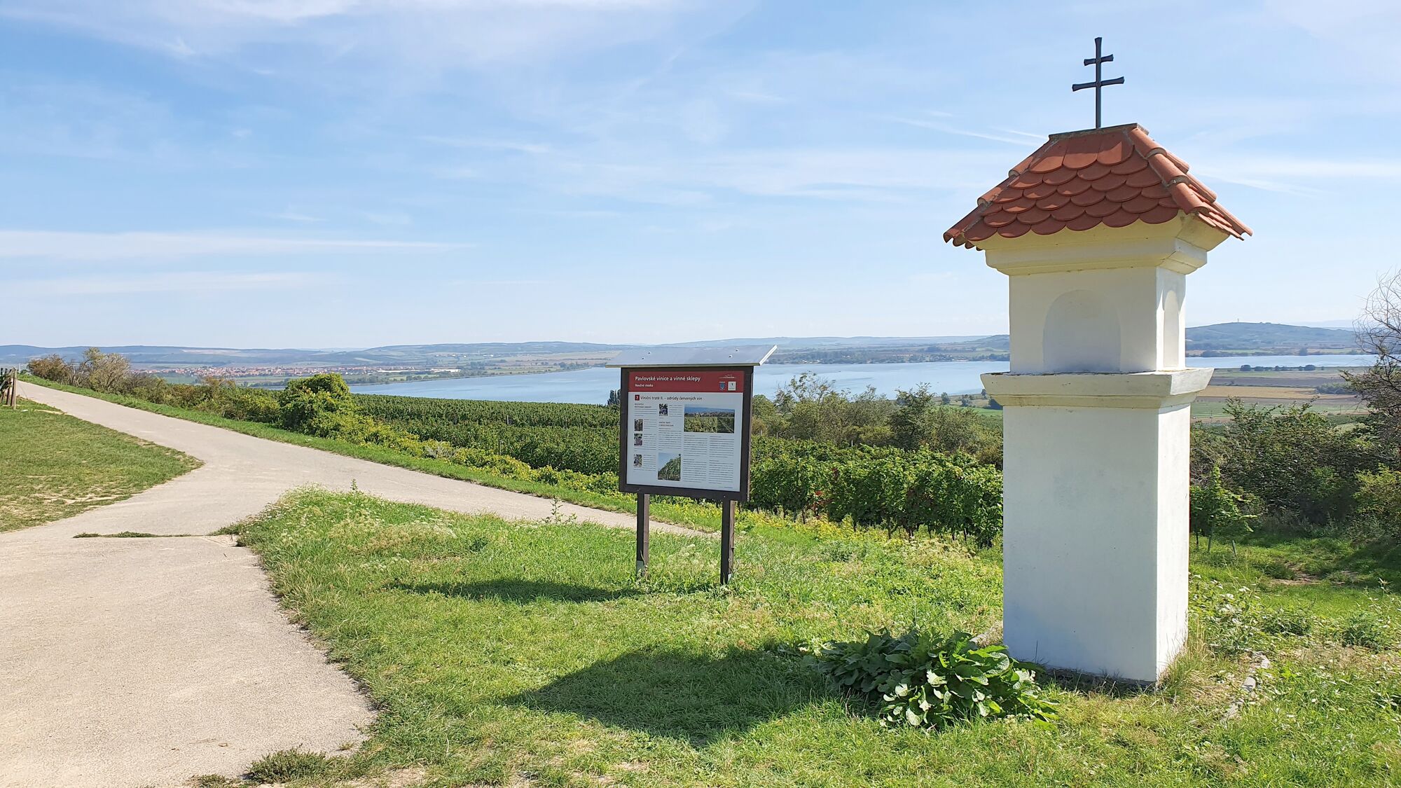
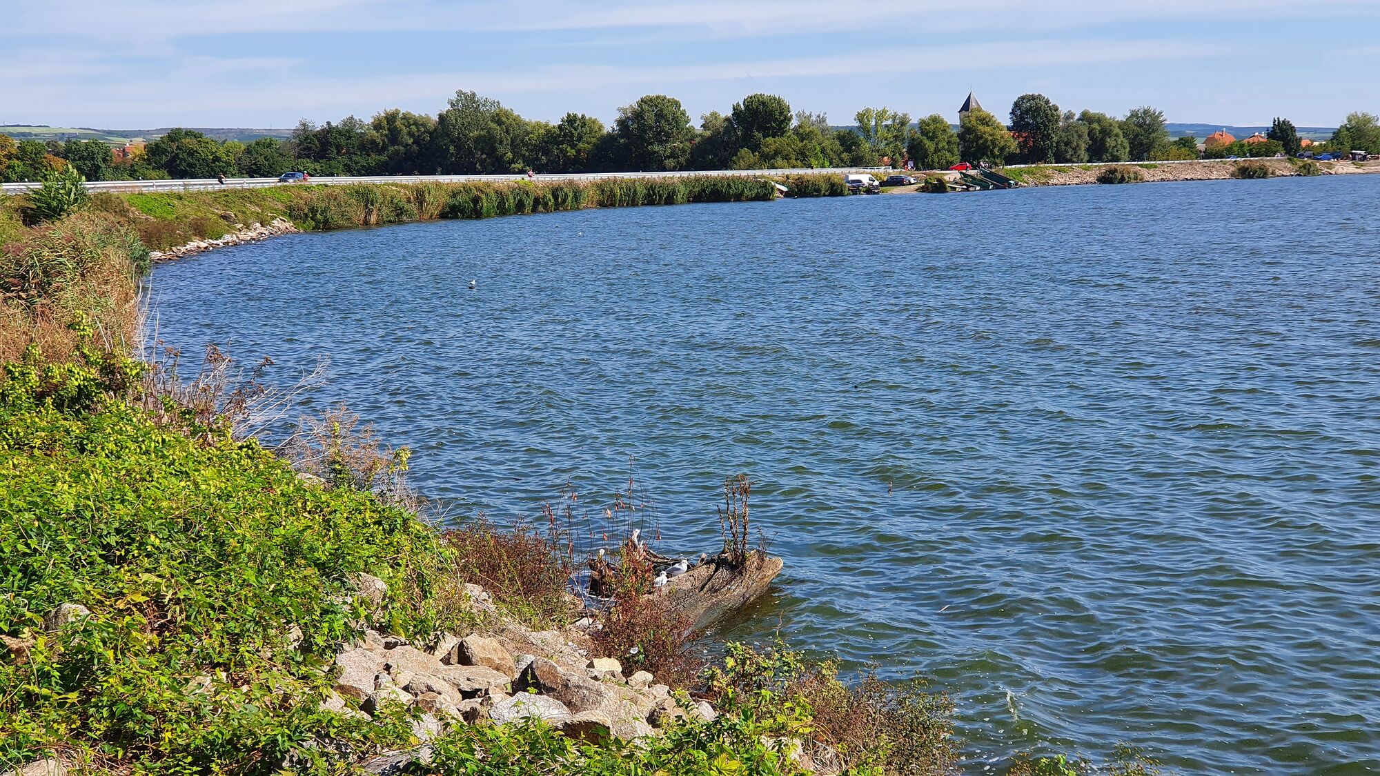
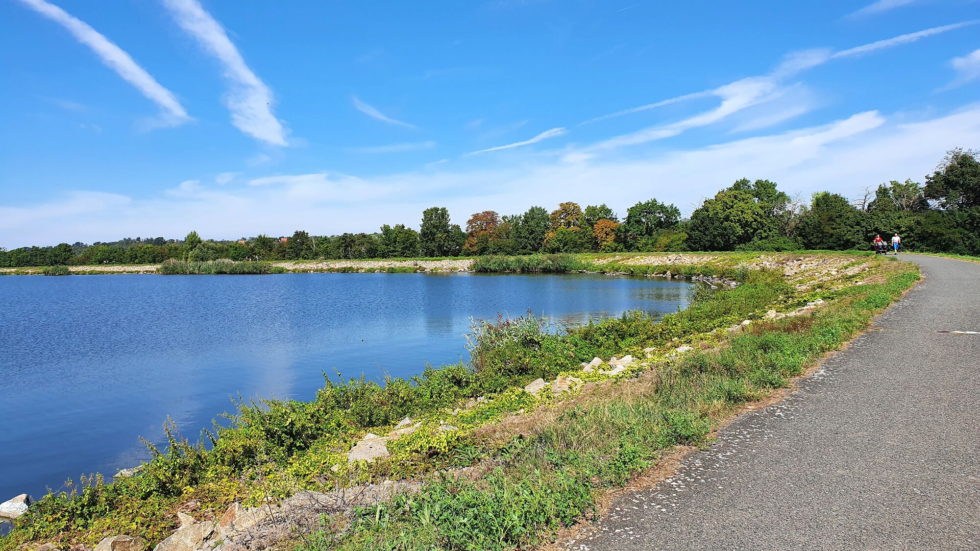
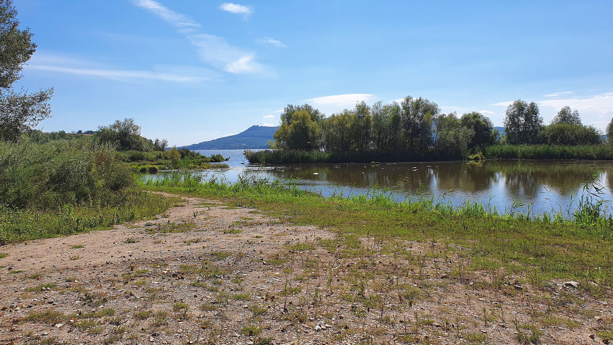
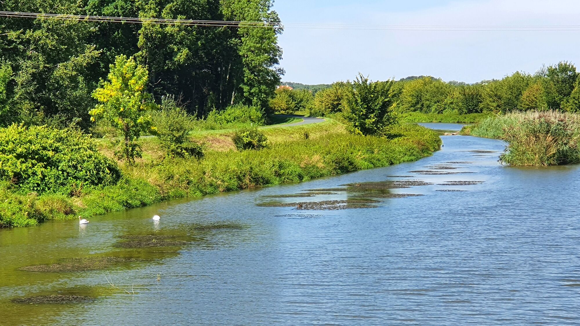
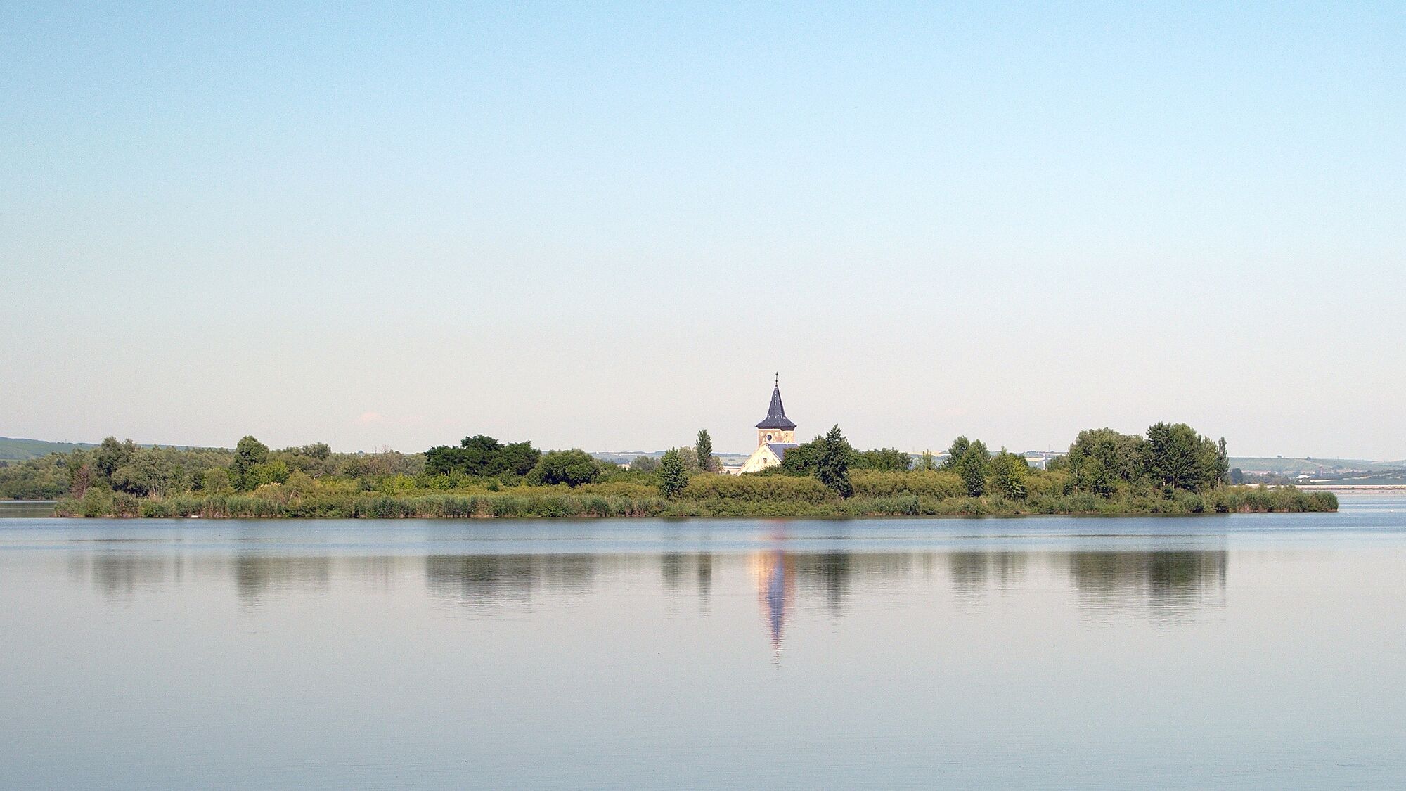
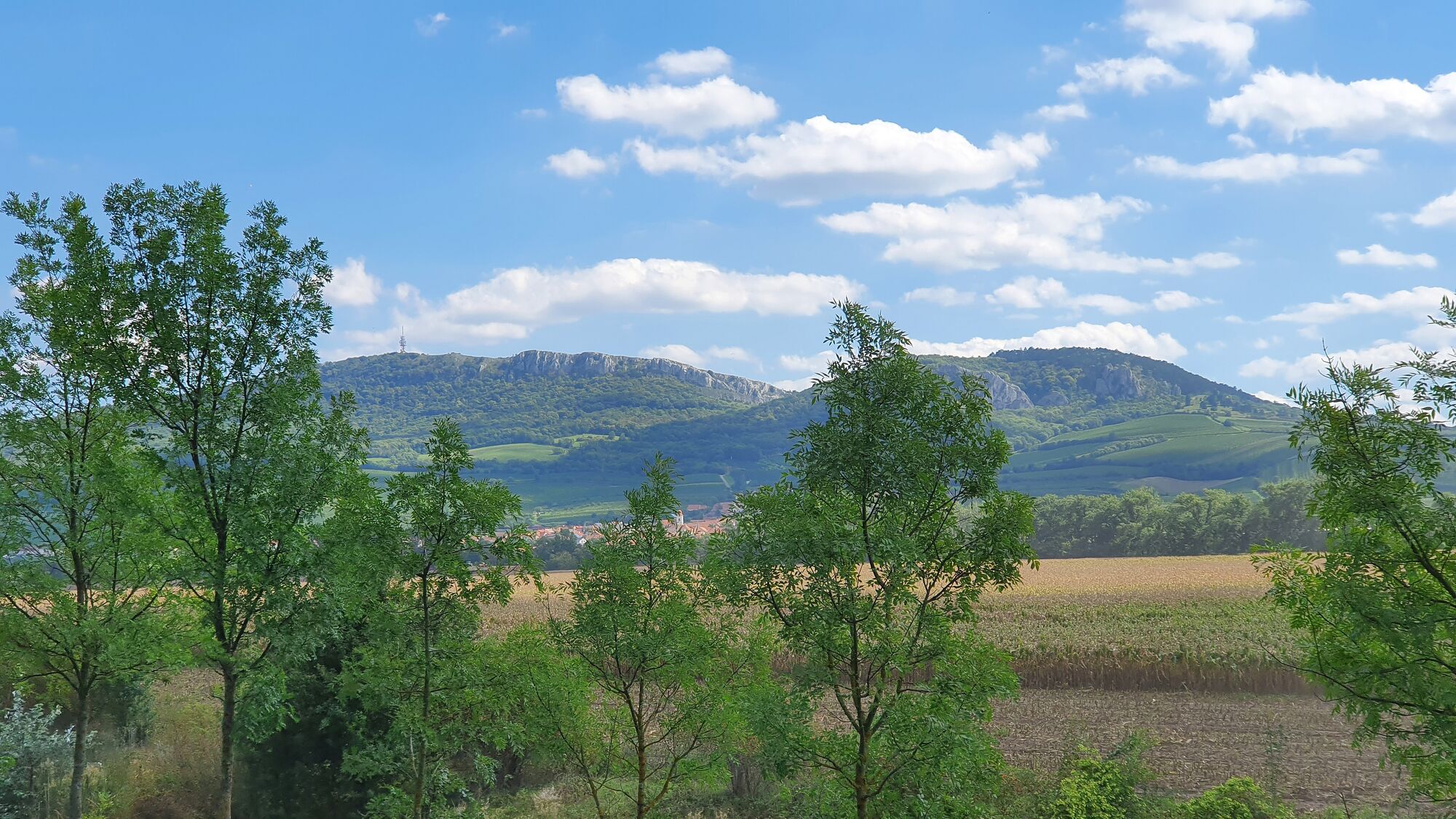
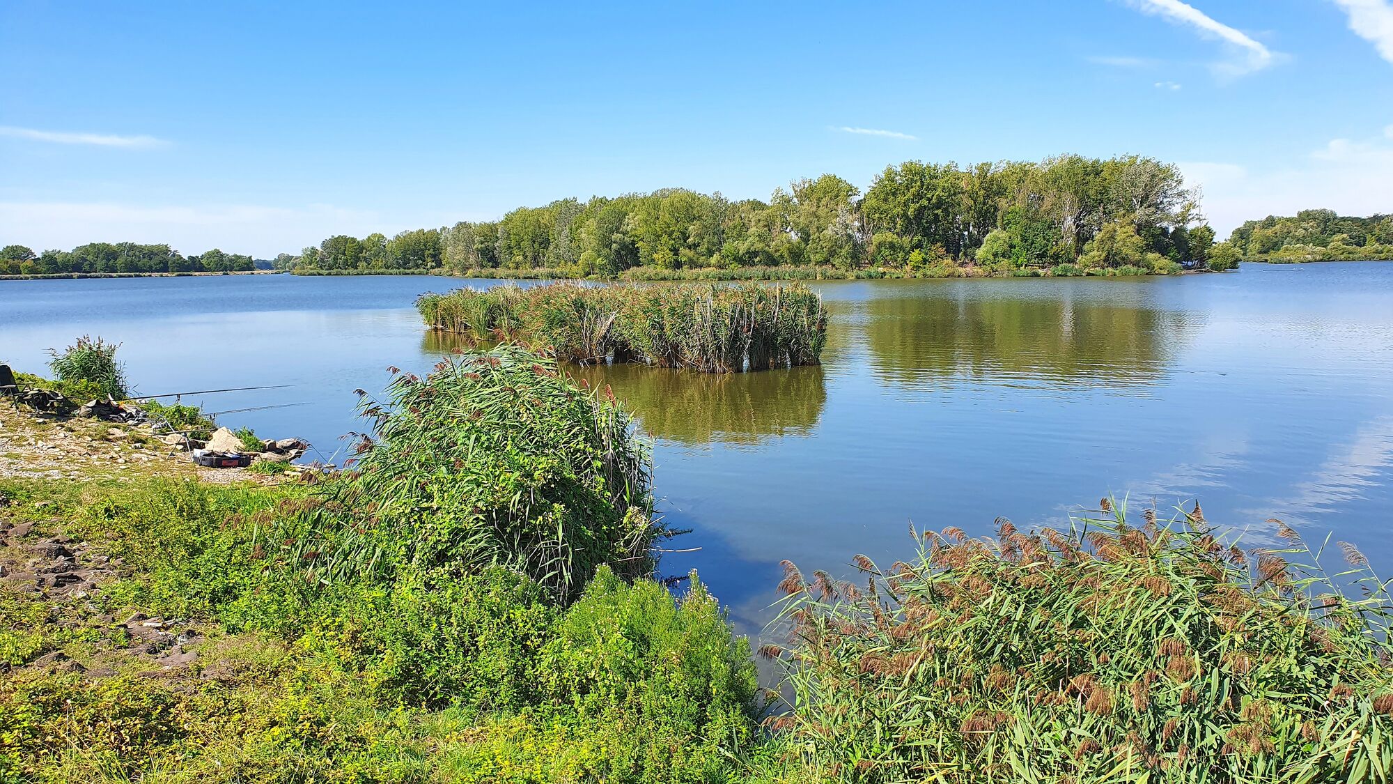
Wunderschöner (Stau)See am halben Weg nach Brünn von der österr. Grenze aus.
- Difficulty
-
easy
- Rating
-
- Starting point
-
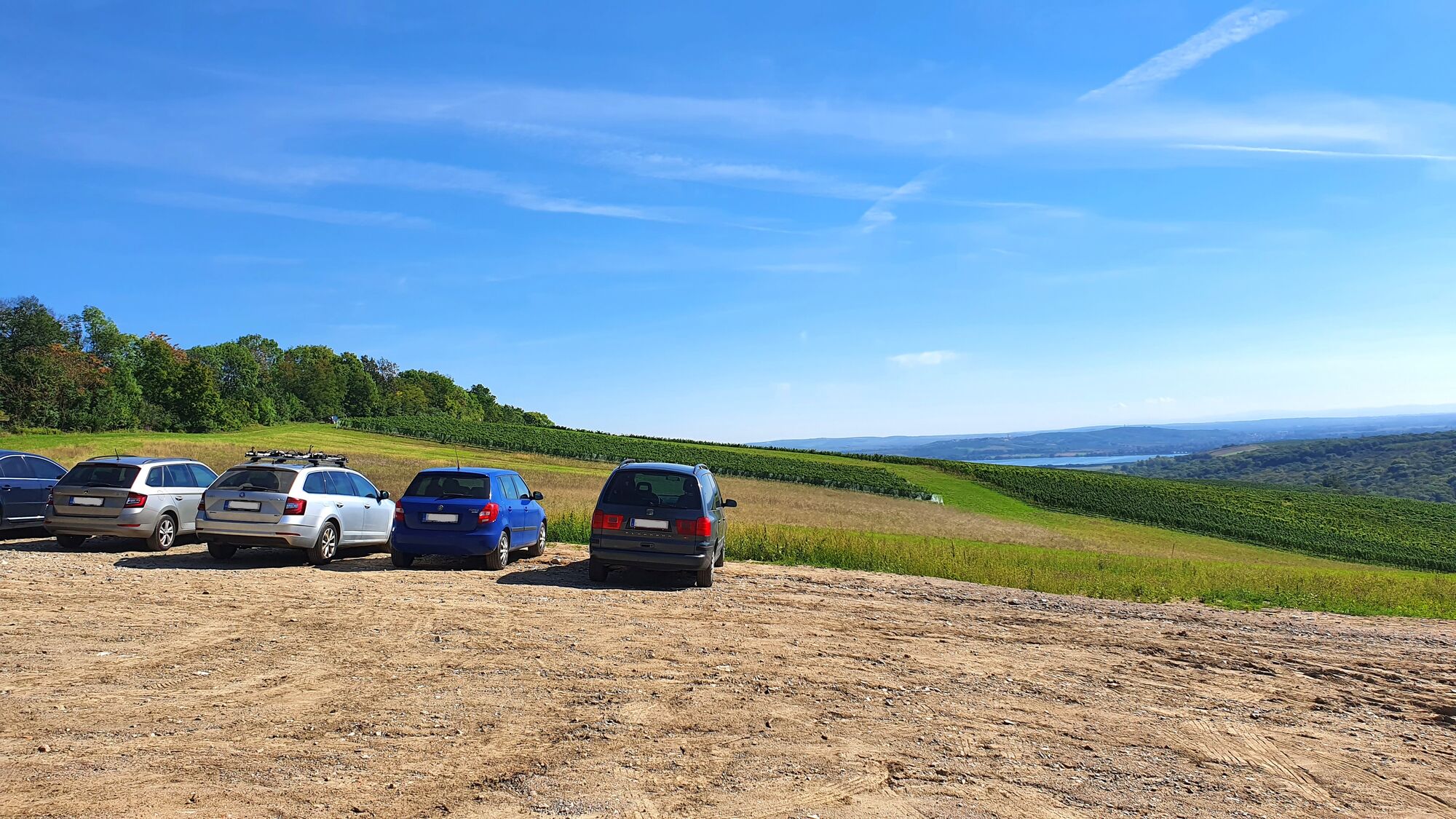
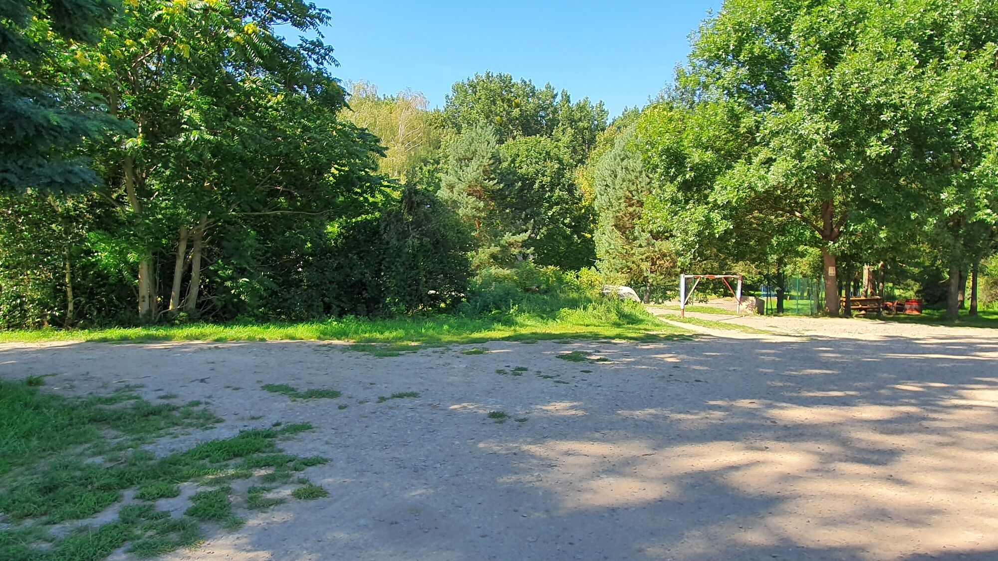
Schotterparkplatz
- Route
-
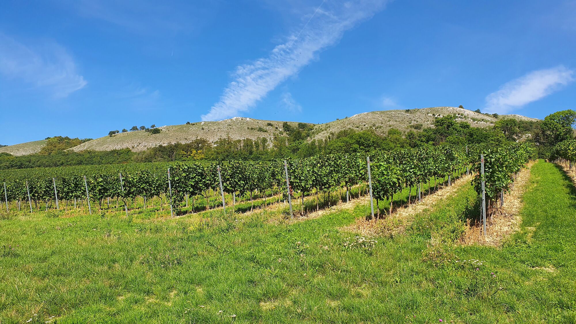
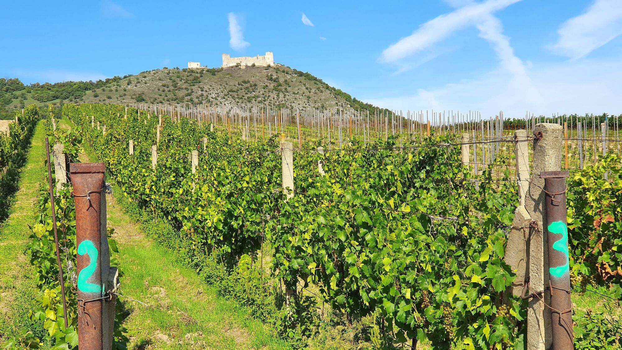
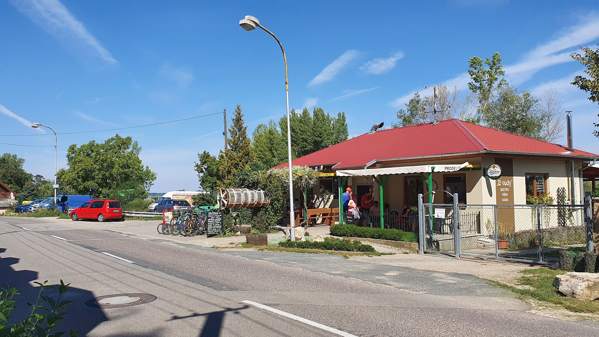
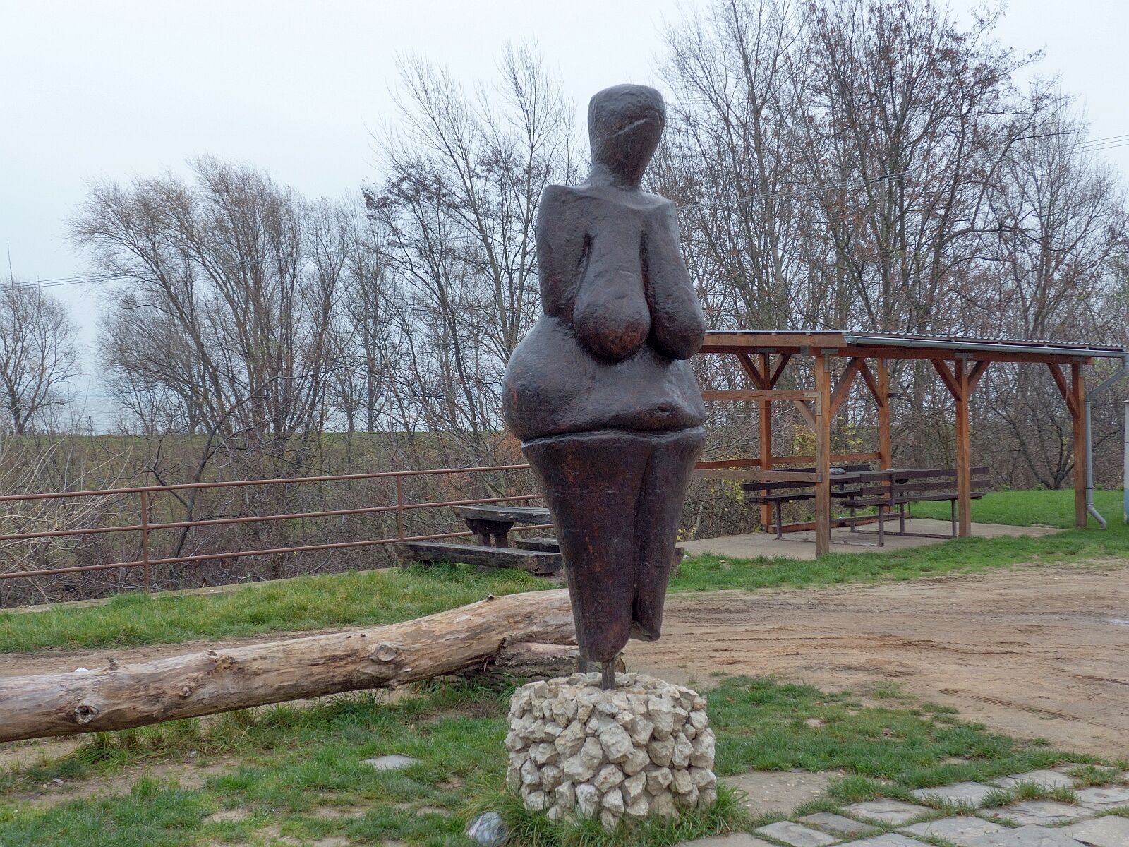
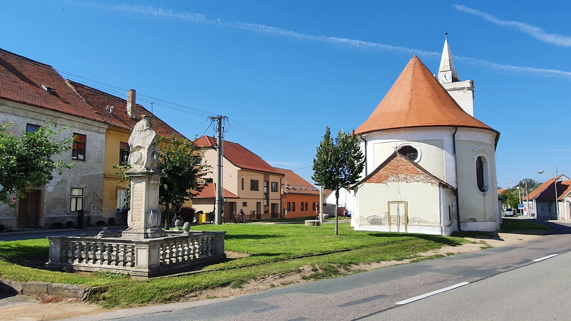
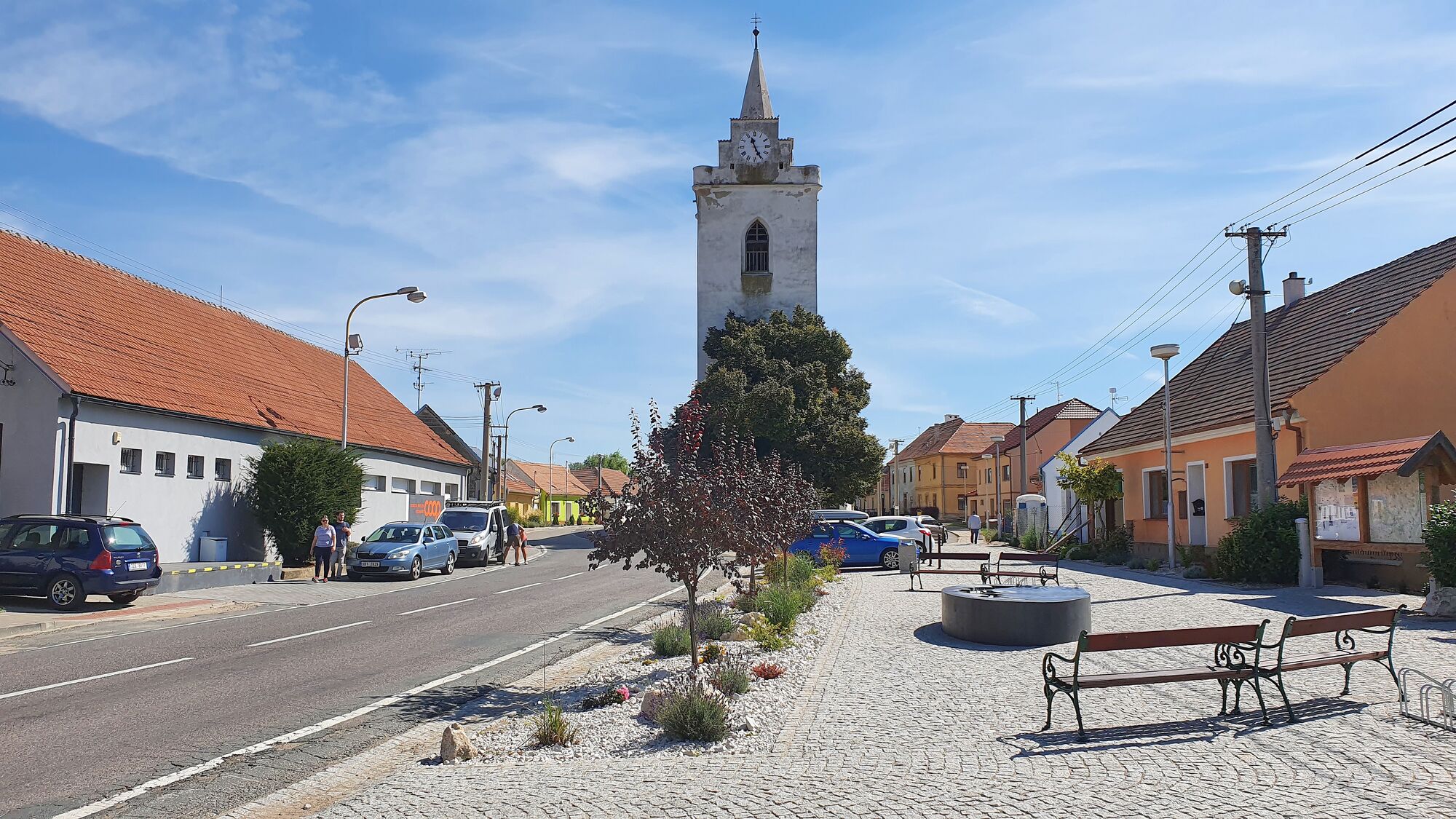
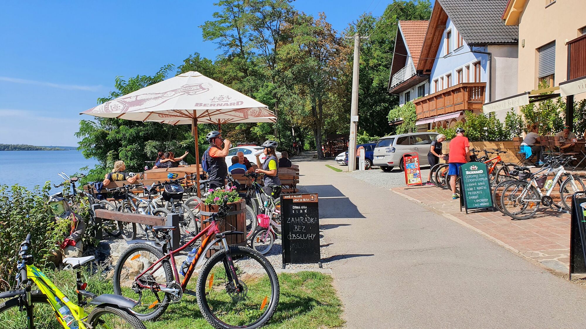
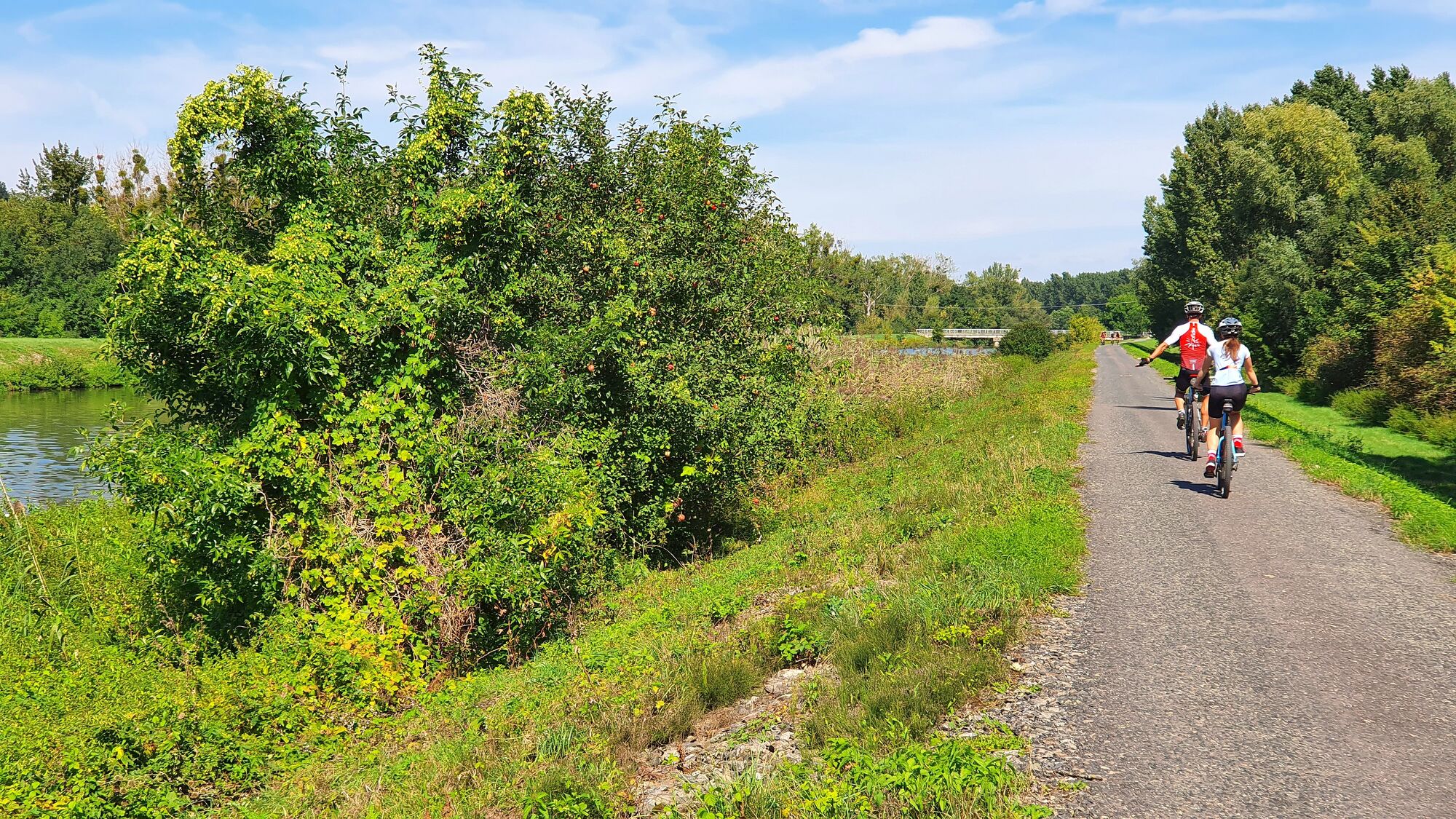
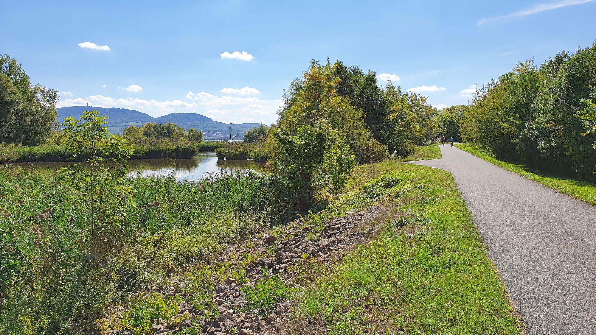
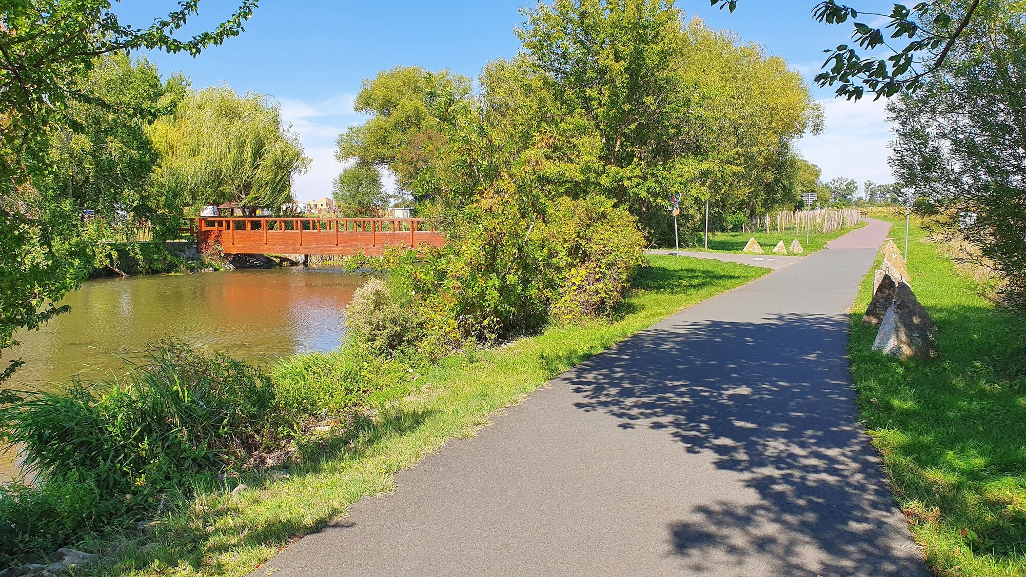
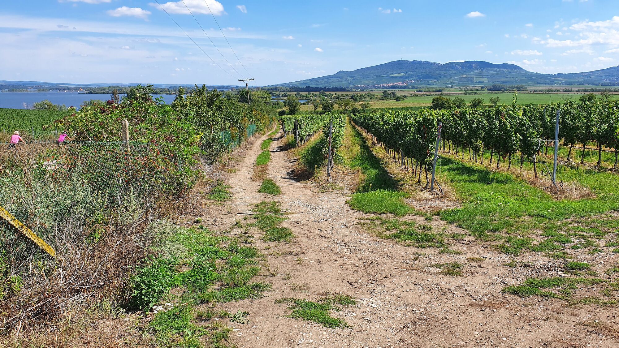
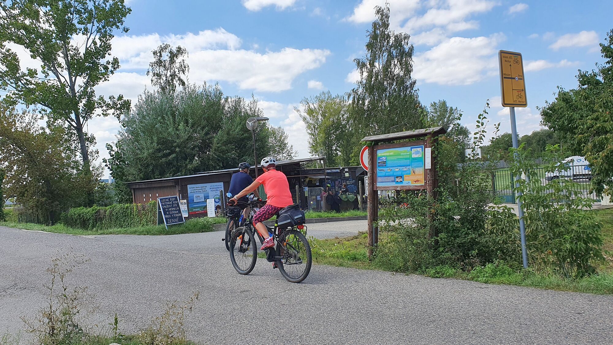
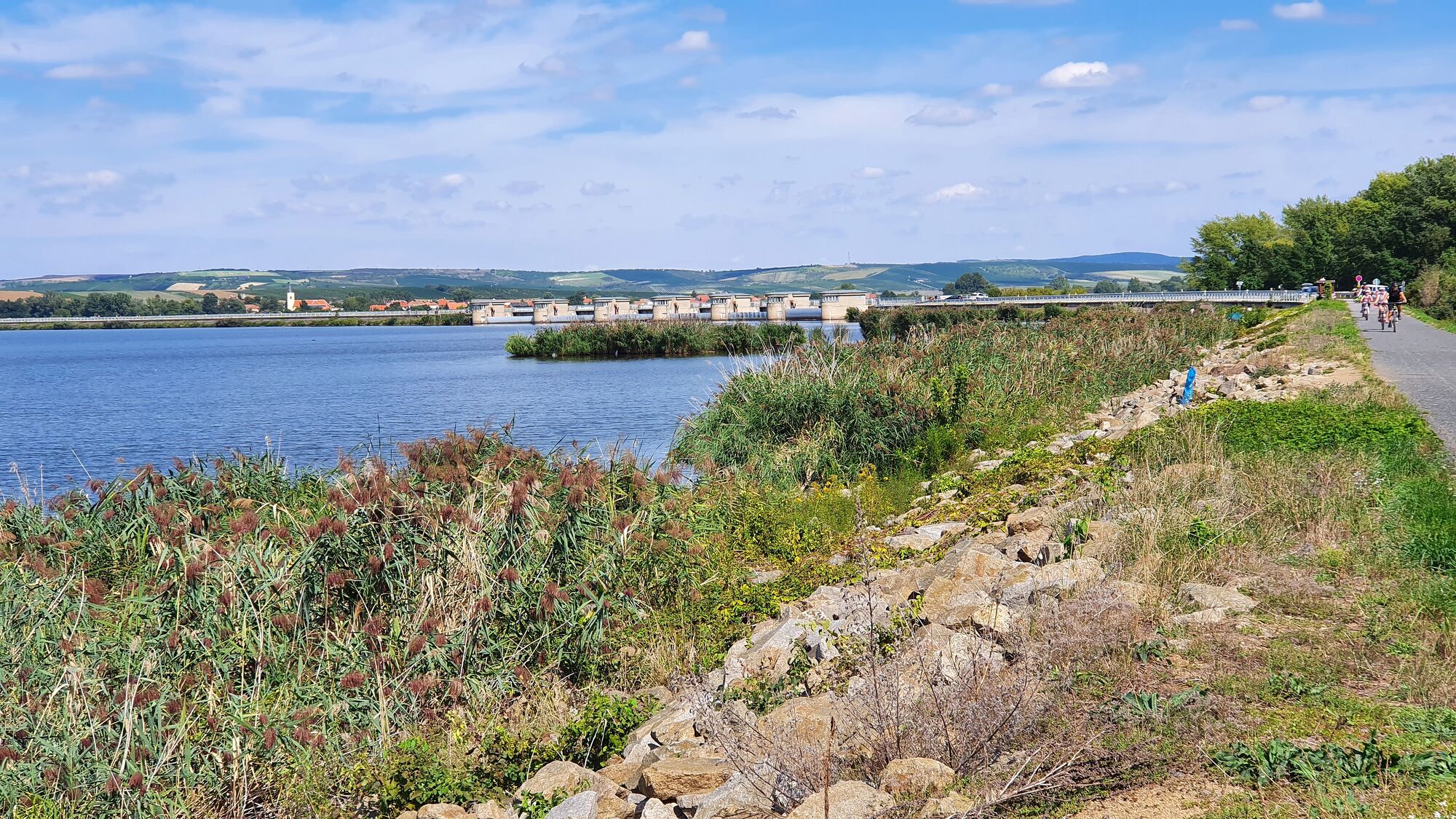
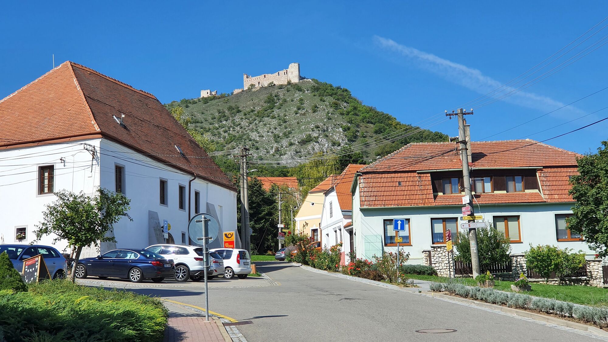
Pollau3.5 kmObčerstvení u vody6.2 kmsvatý Michal6.9 kmU Srnečka6.9 kmUnter Wisternitz6.9 kmTracht8.9 kmVinařství Šedivý10.3 kmWeißstätten21.0 kmPasohlávky přístav21.5 kmU Zápeců21.7 kmGuldenfurt24.4 kmUnter Wisternitz33.8 kmU Srnečka33.9 kmsvatý Michal34.0 kmObčerstvení u vody34.6 kmPollau37.5 kmsv. Barbory37.5 km
- Best season
-
JanFebMarAprMayJunJulAugSepOctNovDec
- Highest point
- Parkplatz (345 m)
- Endpoint
-
Umrundung des Sees gegen den Uhrzeigersinn
- Rest/Retreat
-
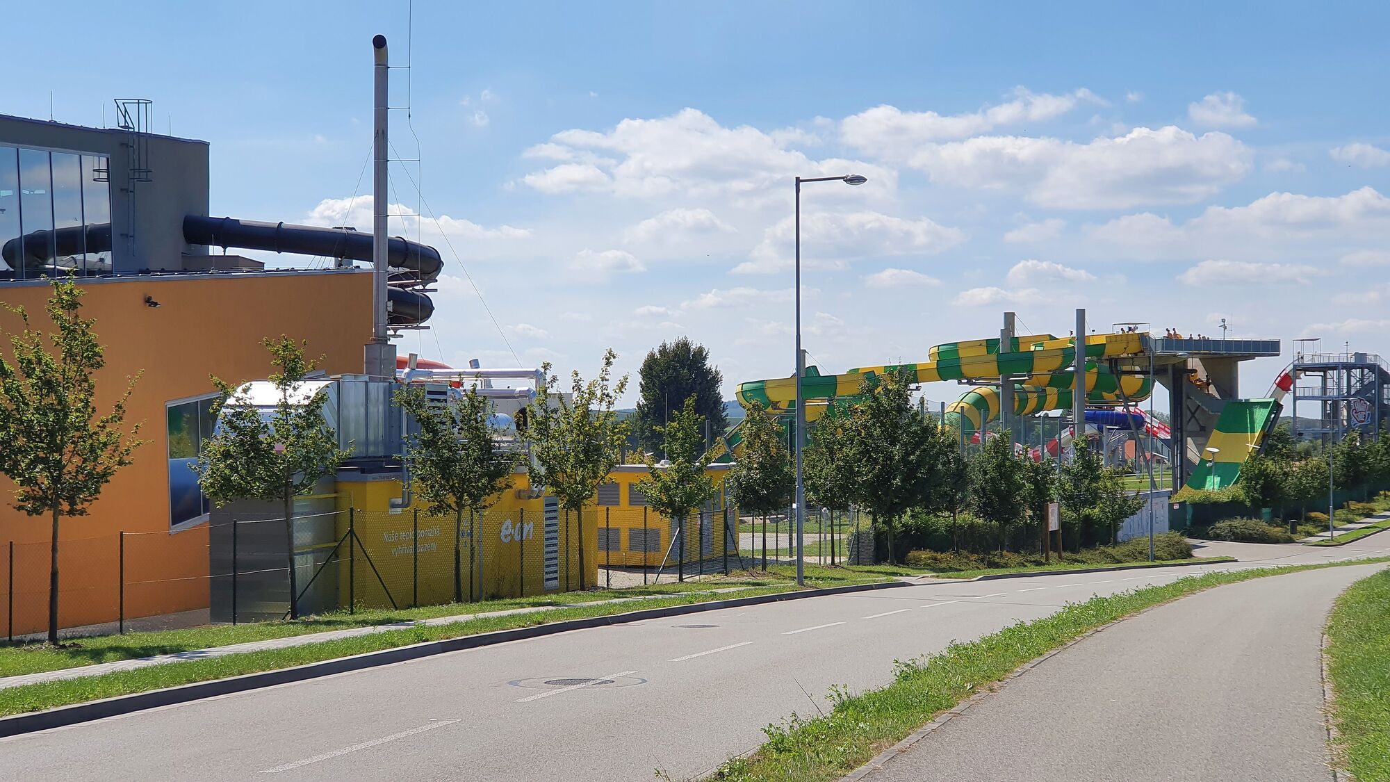
Ca. 20 Lokale auf dieser Tour, zB. Rybi speciality (Fischspezialitäten) am südl. Ende der Hauptstraßenbrücke, Eisdiele am südl. Ende der östl. Seebrücke, viele Lokale am Anfang/Ende der Tour in Dolni Vestonice
- Information
-
Idee zur Tour: "Vodní nádrž Nové Mlýny Ⅰ – Blick auf den Stausee Runde von Pavlov" auf komoot
- Videos
-
 01:131 year ago


GPS Downloads


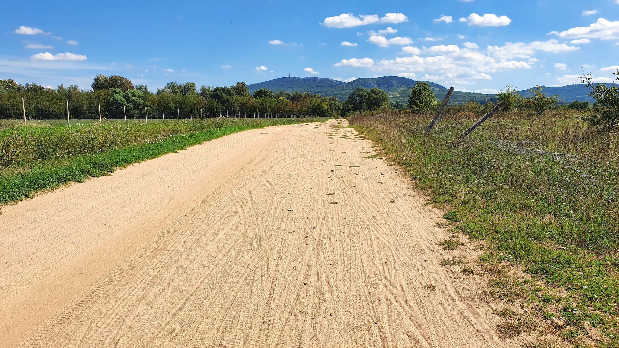
Surfaces
Asphalt
Gravel
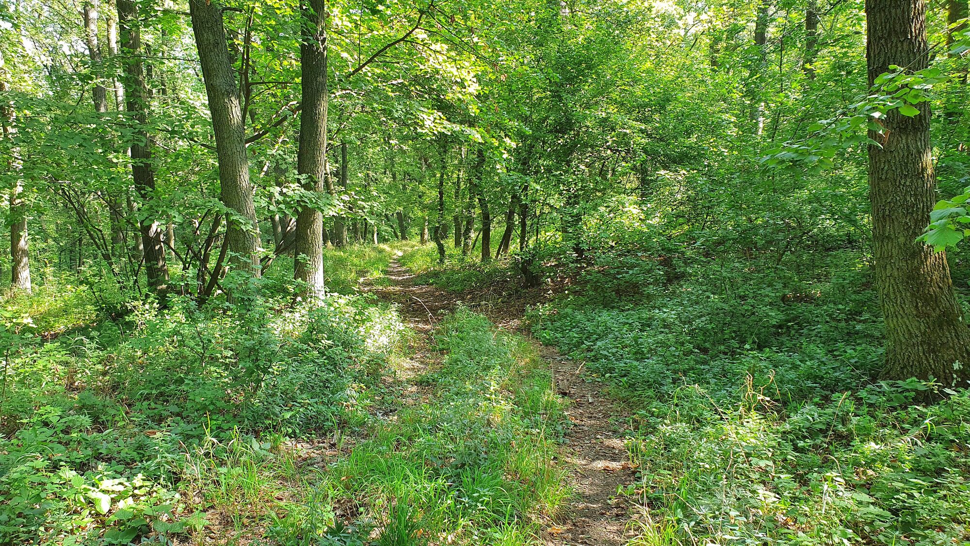
Forest
Mountain paths
Single trails
Trial
Traffic
Other tours in the regions