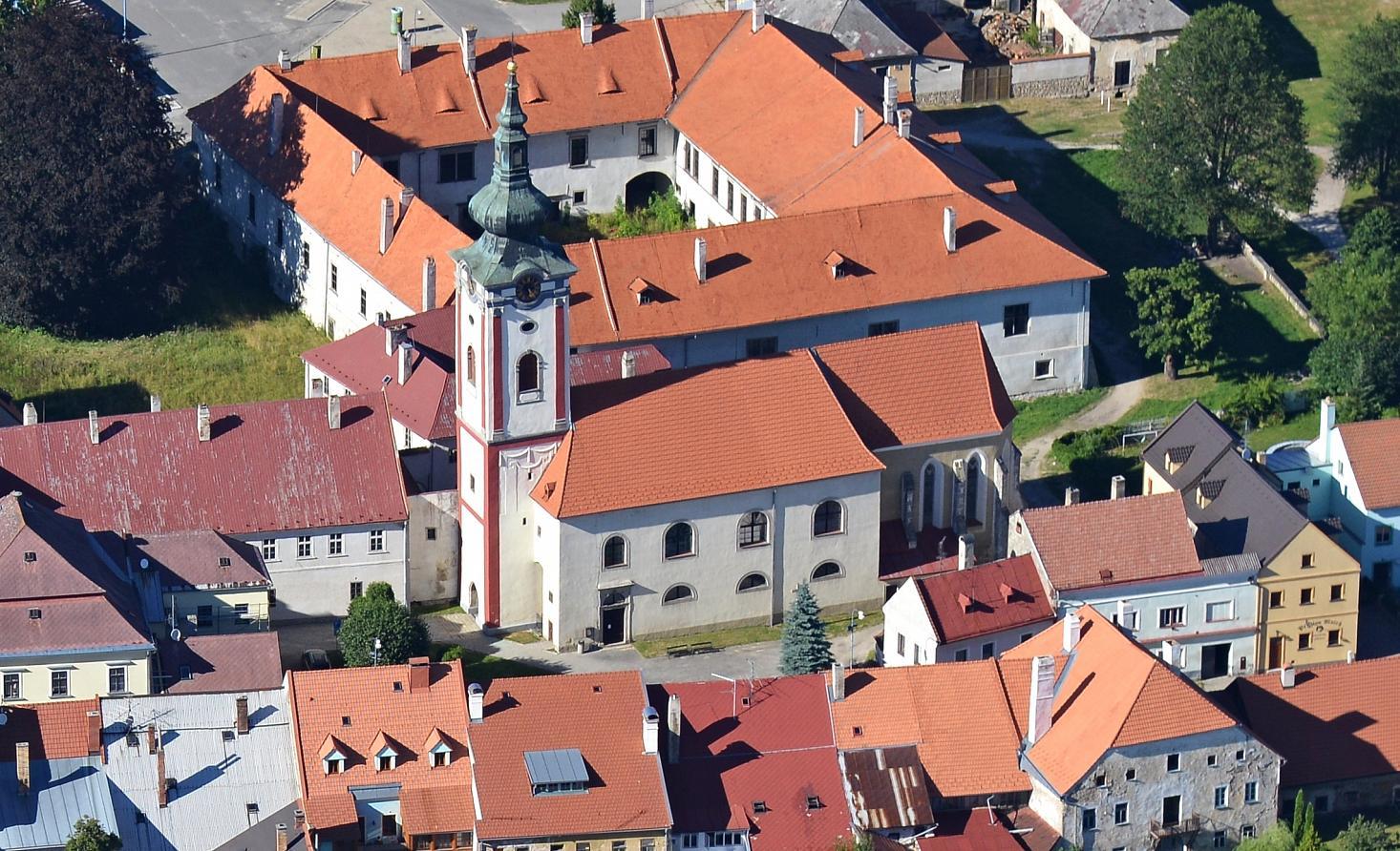
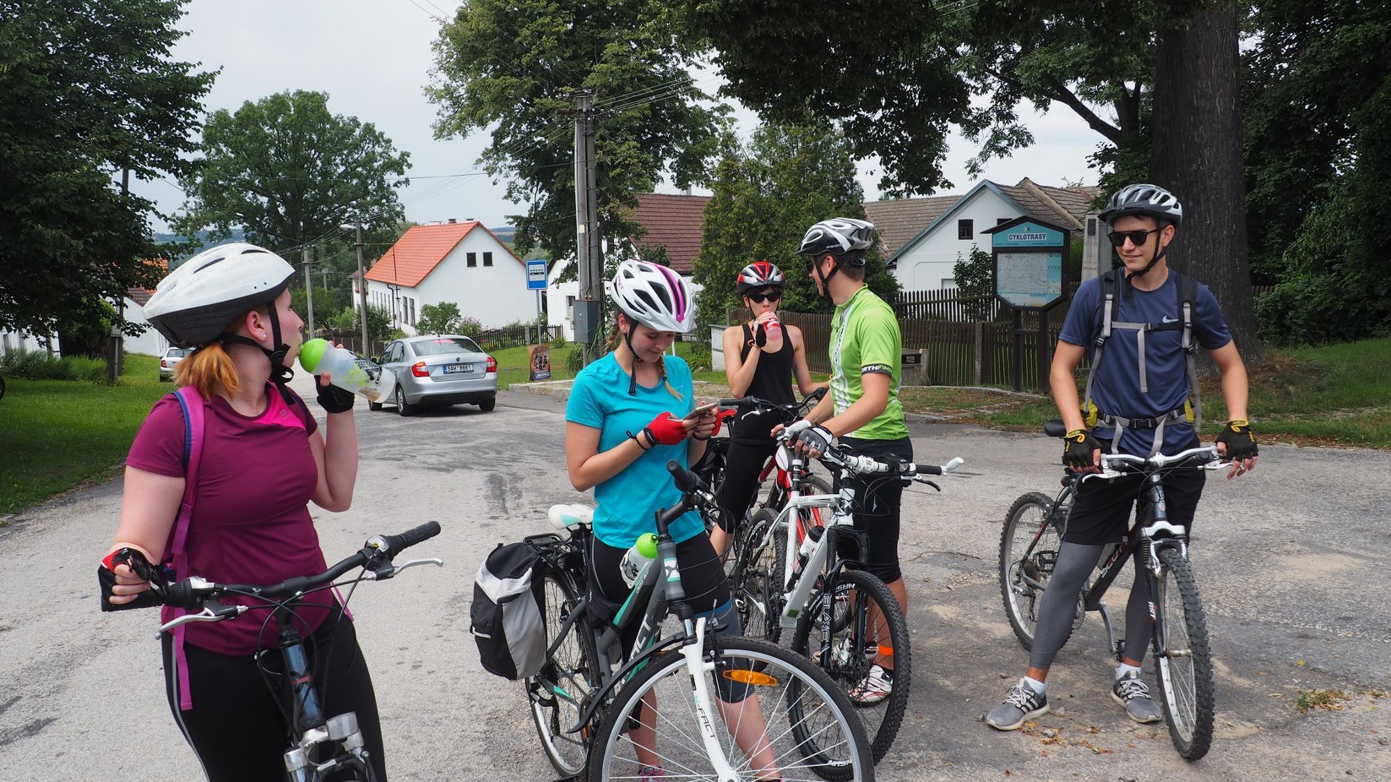
Jindřichův Hradec - Malíkov n.N - Dolní Pěna - Nová Ves - Nový Vojířov - Nová Bystřice (Bohemian Canada)

Cycling

© Alpdest CEE - Luděk Kühr
© Südböhmische Fremdenverkehrszentrale - Jižní Čechy
© Alpdest CEE - Luděk Kühr
© Alpdest CEE - Luděk Kühr
© Alpdest CEE - Luděk Kühr
© Alpdest CEE - Luděk Kühr

© Alpdest CEE - Luděk Kühr
© Alpdest CEE - Luděk Kühr
© Alpdest CEE - Luděk Kühr

© Alpdest CEE - Luděk Kühr

- Brief description
-
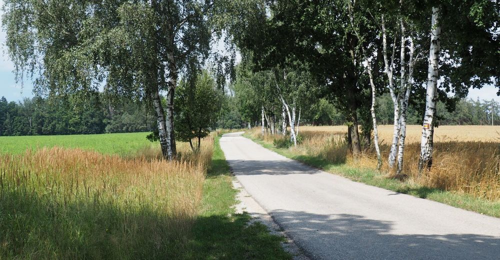
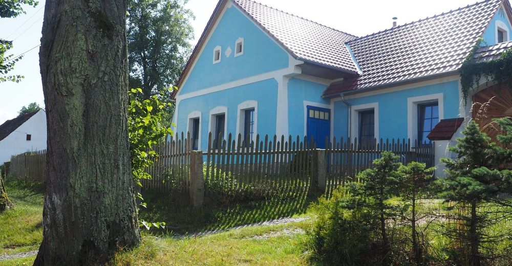
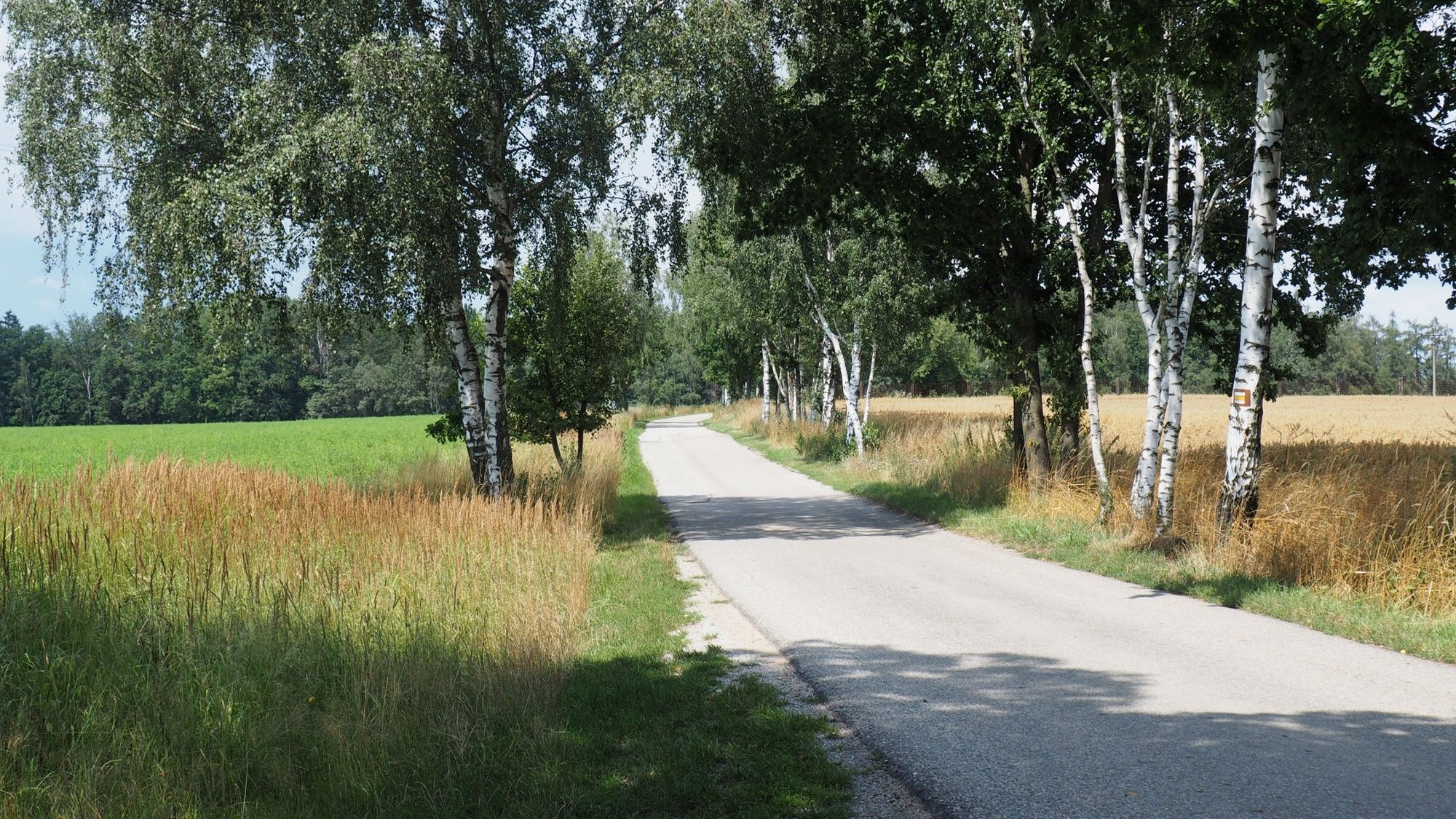
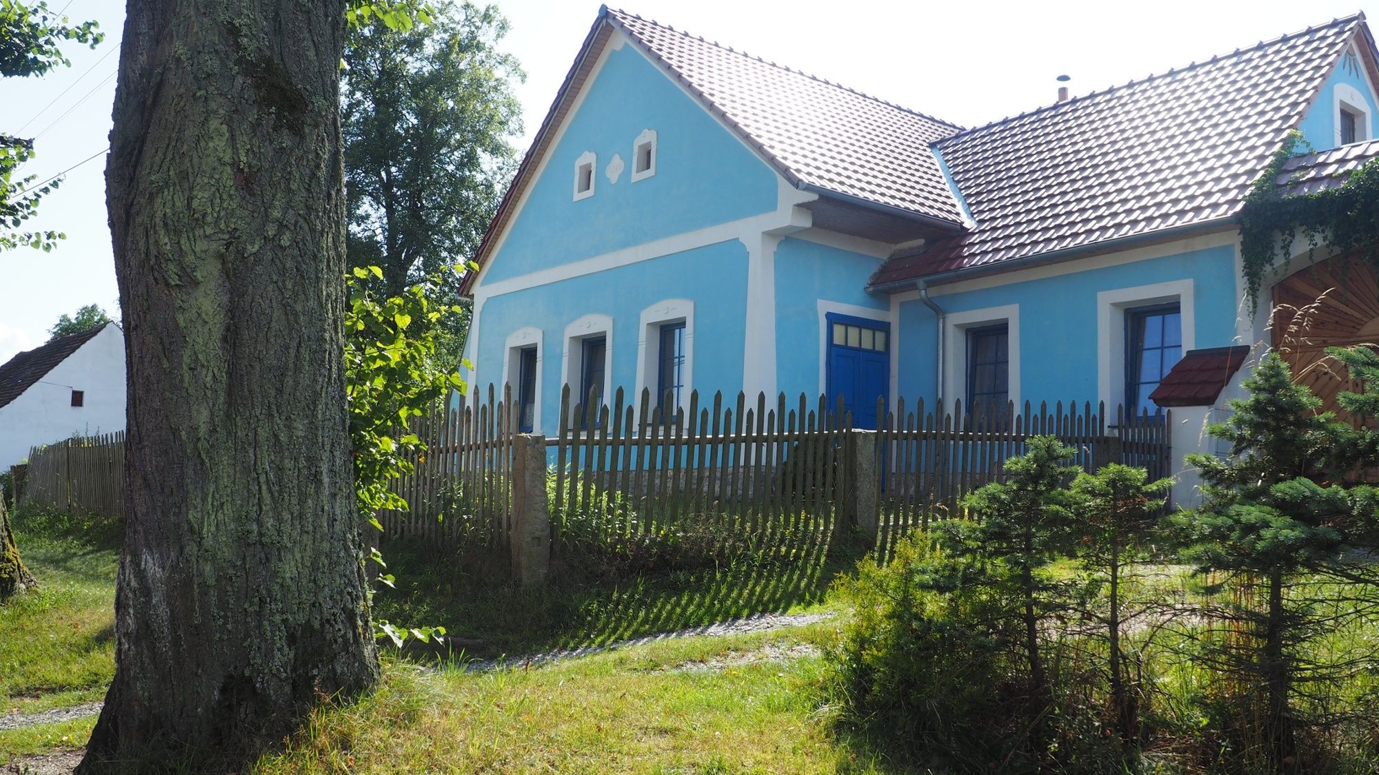
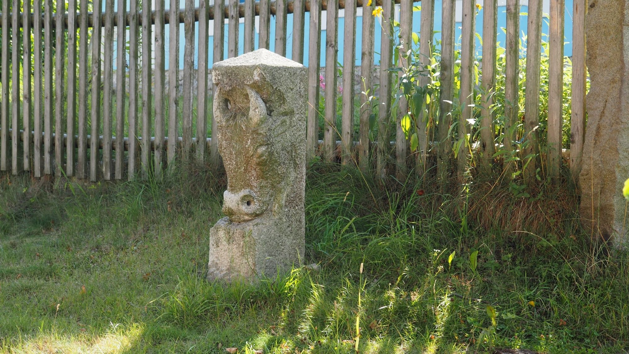
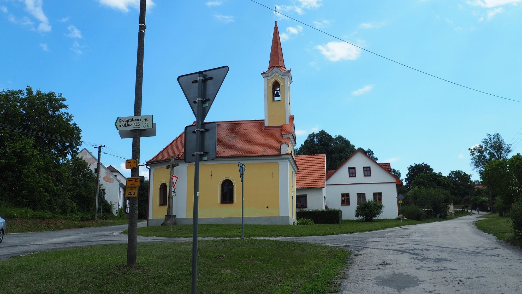
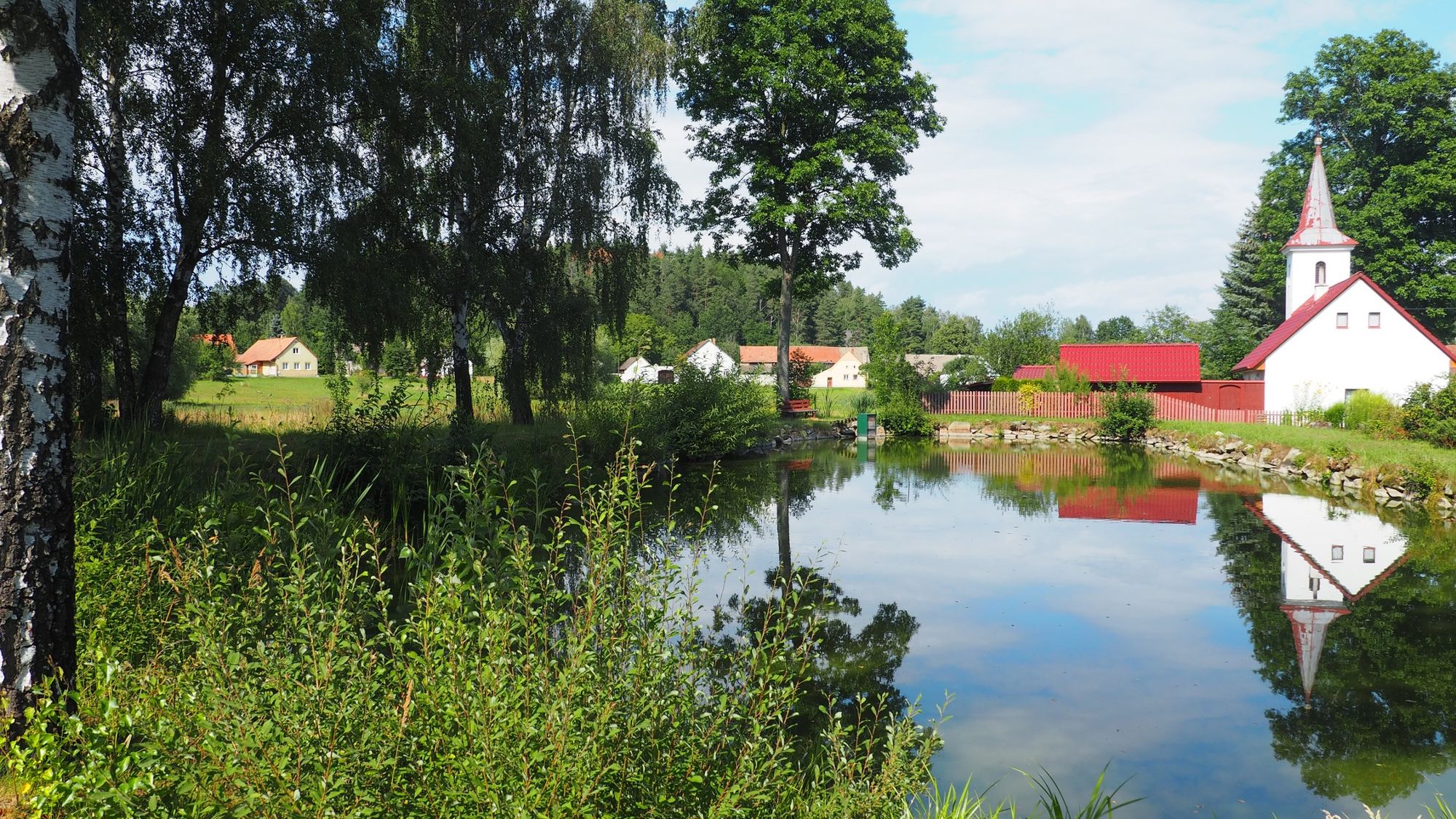
Bike trip from Jindřichův Hradec to Nová Bystřice through open South Bohemian countryside with attractions and villages protected as reminders of traditional architecture.
- Starting point
-
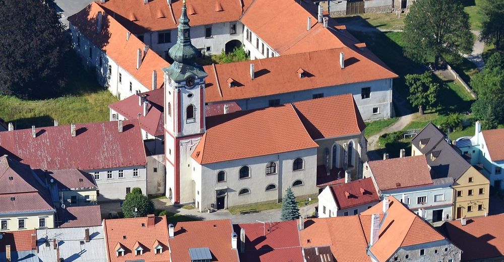
Jindřichuv Hradec, the pension Na 15. poledniku
- Route
-
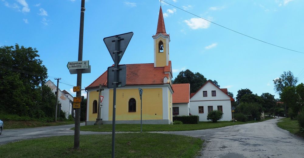
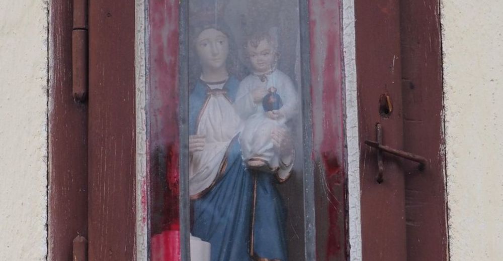
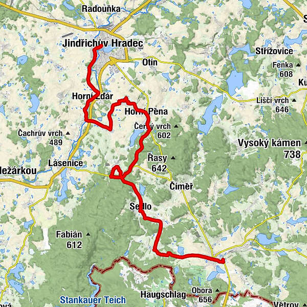
NeuhausJindřichův Hradec IKaple sv. Maří Magdaleny0.1 kmJindřichův Hradec IV0.8 kmHorní Žďár4.4 kmDolní Žďár5.9 kmHostinec U Kolísků6.2 kmNa Holoubkových polích6.3 kmNávesní kaple Panny Marie Loretánské7.6 kmMalíkov nad Nežárkou7.7 kmDolní Pěna10.3 kmSvatý Michael12.4 kmOber Baumgarten12.7 kmKamenný vrch (536 m)14.8 kmNová Ves18.7 kmHeumoth22.8 kmNeustift24.8 kmBöhmisch Bernschlag26.5 kmSmrčná28.6 kmNeubistritz30.7 kmNeubistritz31.7 km
- Description
-
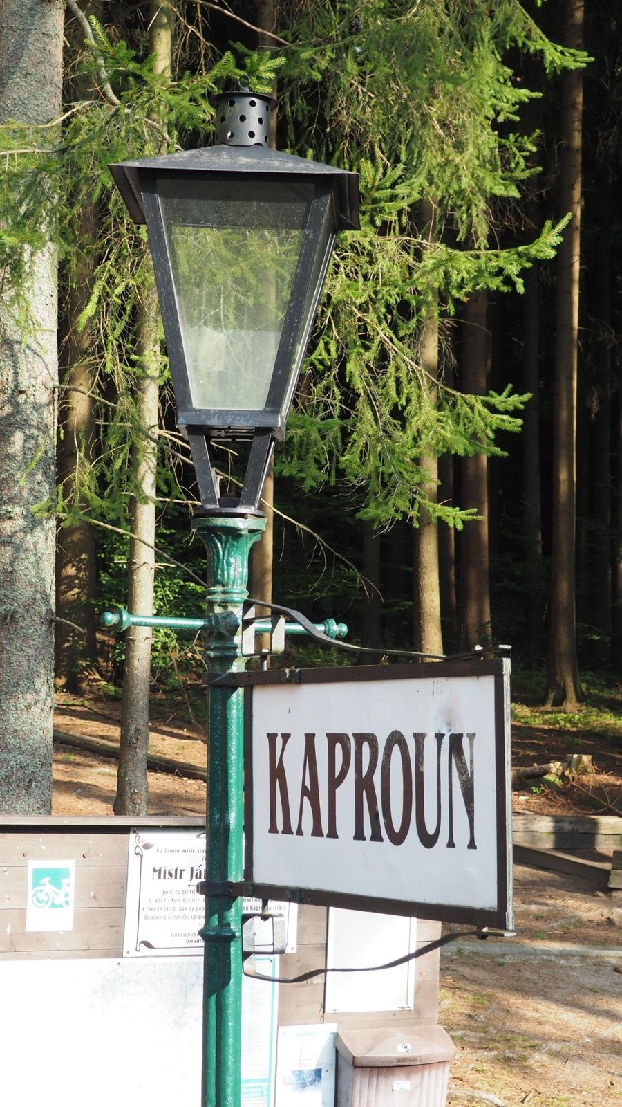
It is not a round trip, but back to the starting point, to Jindrichuv Hradec brings you and your bike from Nova Bystrice the narrow-gauge railway. Find out about the last connection. There are plenty of places to eat and refreshments along the way. Interesting sights are mainly concentrated in the starting point Jindrichuv Hradec and the destination Nova Bystrice.
- Highest point
- 621 m
- Endpoint
-
Nová Bystřice, Nová Bystřice brewery / Railway station
- Height profile
-
 © outdooractive.com


-

-
AuthorThe tour Jindřichův Hradec - Malíkov n.N - Dolní Pěna - Nová Ves - Nový Vojířov - Nová Bystřice (Bohemian Canada) is used by outdooractive.com provided.

