
- Difficulty
-
medium
- Rating
-
- Route
-
FriedbergFrymburk0.0 kmFrýdava0.2 kmFriedau0.6 kmSvaty Tomáš7.4 kmSankt Thomas8.0 kmReiterschlag (827 m)12.6 kmehemaliges Bernek14.6 kmPernecká zatáčka15.4 kmehemaliges Deutsch Reichenau16.3 kmehemaliges Asang18.9 kmehemaliges Ottenschlag20.1 kmRosenhügel21.4 kmehemaliges Untermarkschlag23.6 kmSankt Oswald bei Haslach25.4 kmKirche St.Oswald25.5 kmSattling26.4 kmGünterreith27.4 kmWurmbrand29.1 kmBaureith30.5 kmAigen-Schlägl31.8 kmDiendorf32.9 kmHaagerhof34.7 kmGrünwald37.7 kmGasthaus Panyhaus38.0 kmRosstauscherberg (999 m)40.6 kmInn's Holz44.1 kmHeimatvertriebenenkirche45.2 kmJausenstation Blauer Hirsch47.2 kmSonnenwald47.3 kmRosenhügel60.8 kmFriedau71.5 kmFriedberg71.8 kmFrýdava71.8 km
- Best season
-
JanFebMarAprMayJunJulAugSepOctNovDec
- Directions
-
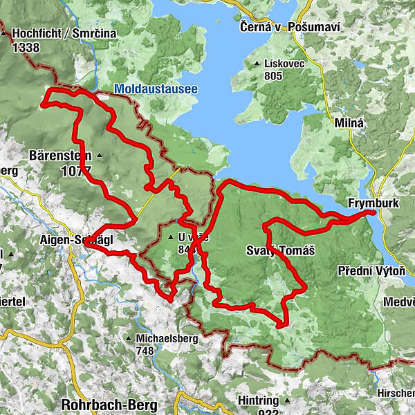
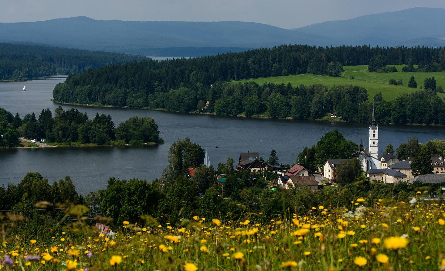
The route starts in Frymburk from where the ferry takes you to Frýdava. Then it continues along the cycling trail No. 1021 around hill Vítkův Kámen that is dominated by ruins of the Vítkův Kámen Castle (1,035 m). After visiting the ruins you can follow the trail through the Natural Park Sv. Tomáš and the Nature Reservation called Niva Horského potoka in concurrence with the cycling trail No. 1033 to Pasečná. From Pasečná the trail continues to the crossroad called ”U Korandy” and turns to the Austrian state border that is crossed in St. Oswald. Once in Austria, the route joins the cycling trail ”Günterreith Grenzlandradweg” that goes to village of Aigen. Here our route takes a next Austrian cycling trail No. L590– ”Diendorf Böhmerwaldradweg”. In Diendorf the route turns to a forest path in direction to Grünwald, continues to Moldaublick and to Schöneben. Here the route starts to return to the Czech border following the trail “Sonnenwald Böhmerwaldradweg” through Sonnenwald in direction to the Schwarzenberg Logging Canal at the border where it meets the Czech trail No. 1019 and leads to the crossroad ”U Korandy”. The route continues then along the trail No. 1019 under Soví vrch where it joins the trail No. 1033 and leads to a crossroad on the bank of the Lipno Dam. Here the route joins the “Vltava Cycle Trail” (concurrence with route No. 1019) that takes you back to the ferry in Frýdava and then to Frymburk. The route is 70.8 km long – suitable for an all-daytrip.
- Highest point
- 1,012 m
- Height profile
-
 © outdooractive.com
- Author
-
The tour The Czech-Austrian Butterfly is used by outdooractive.com provided.