
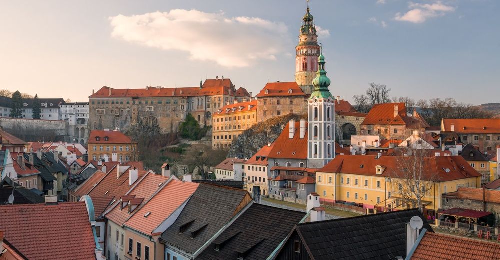
© Südböhmische Fremdenverkehrszentrale - Jižní Čechy
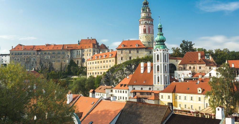
© Südböhmische Fremdenverkehrszentrale - Jižní Čechy
© Südböhmische Fremdenverkehrszentrale - Jižní Čechy
© Südböhmische Fremdenverkehrszentrale - Jižní Čechy
© Südböhmische Fremdenverkehrszentrale - Jižní Čechy
© Südböhmische Fremdenverkehrszentrale - Jan Pirgl
© Südböhmische Fremdenverkehrszentrale - Jižní Čechy

© Südböhmische Fremdenverkehrszentrale - Jižní Čechy
© Südböhmische Fremdenverkehrszentrale - Jižní Čechy
© Südböhmische Fremdenverkehrszentrale - Jižní Čechy

- Difficulty
-
medium
- Rating
-
- Route
-
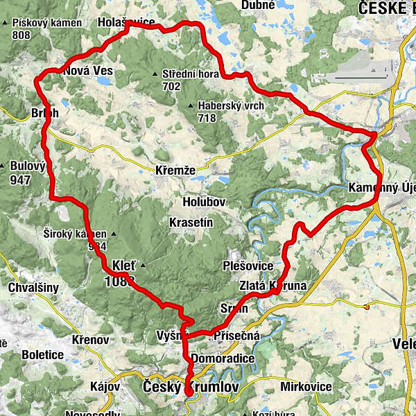
Krumau0.0 kmInnere Stadt0.0 kmSaint Vitus0.1 kmKaple vzkříšení0.1 kmLatron0.1 kmPlešivec0.3 kmBahnhofsvorstadt1.5 kmU modrého obrázku5.8 kmUhlířská Hájovna10.1 kmSvatý Josef13.0 kmRohy14.8 kmNová hospoda15.4 kmJanské Údolí17.0 kmRychtářov17.6 kmBerlau19.7 kmSedm Chalup21.9 kmČeské Chalupy23.4 kmHollschowitz27.3 kmŠpejchar u Vojty27.5 kmkaple Sv. Jana27.5 kmJankov29.4 kmKaple sv. Víta (1882)29.6 kmČakovec31.6 kmSalaš31.8 kmkaple Panny Marie Růžencové (1902)33.2 kmKvítkovice33.2 kmU Pufrů33.9 kmHabří34.3 kmLipí35.6 kmZávraty38.5 kmPanny Marie Bolestné38.5 kmDvůr Koroseky38.8 kmPivovarský42.3 kmPayerschau42.7 kmArcha Restaurace & Pizzerie42.9 kmPod Skálou43.6 kmZátkův mlýn44.3 kmOpalice49.8 kmRadostice50.9 kmČertyně51.7 kmZáluží52.9 kmŠtěkře54.1 kmGoldenkron56.2 kmZahrady nad řekou56.3 kmKopaniny56.9 kmLetná57.8 kmNa Letné57.8 kmVyhlídka58.3 kmSrnín58.5 kmBahnhofsvorstadt63.8 kmPlešivec65.0 kmKaple vzkříšení65.3 kmSaint Vitus65.3 kmLatron65.3 kmKrumau65.3 kmInnere Stadt65.4 km
- Best season
-
JanFebMarAprMayJunJulAugSepOctNovDec
- Directions
-
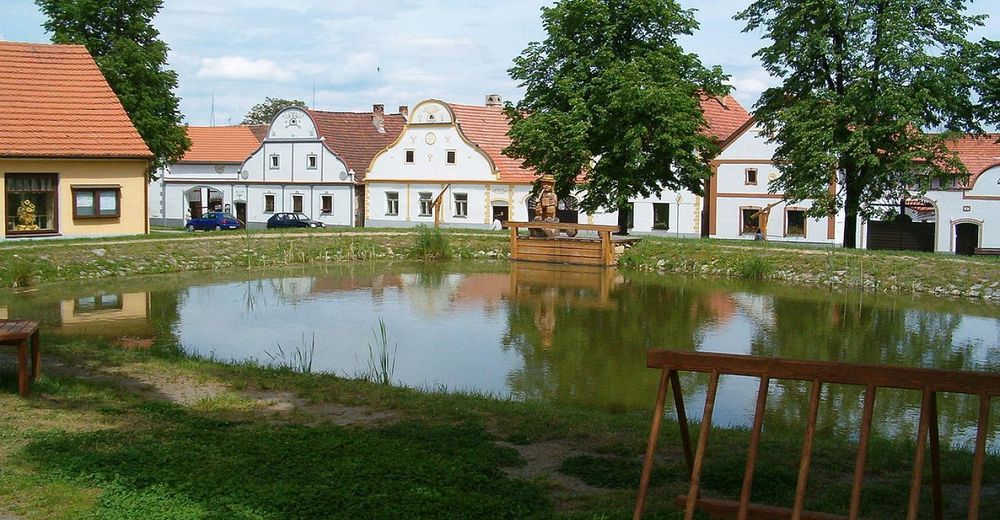
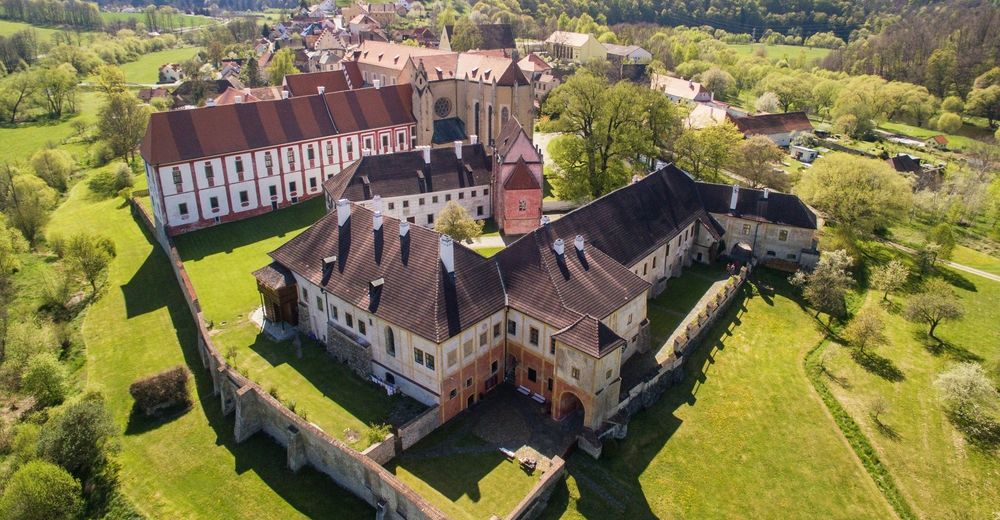
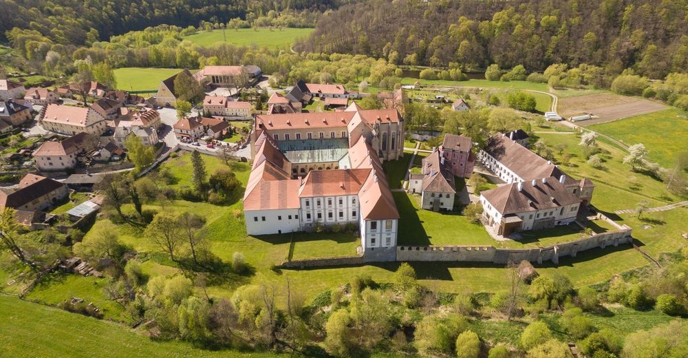
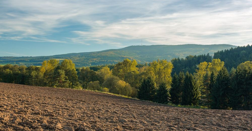
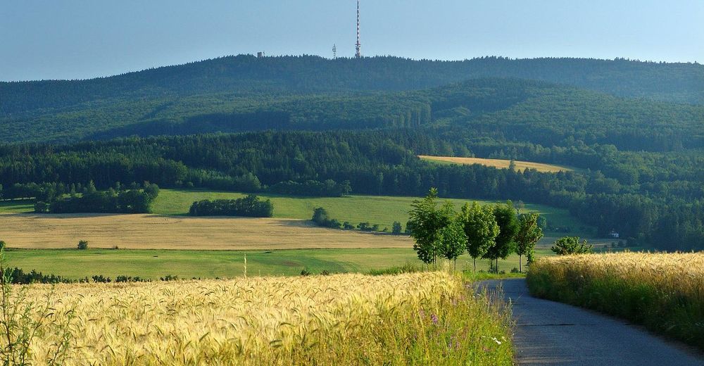
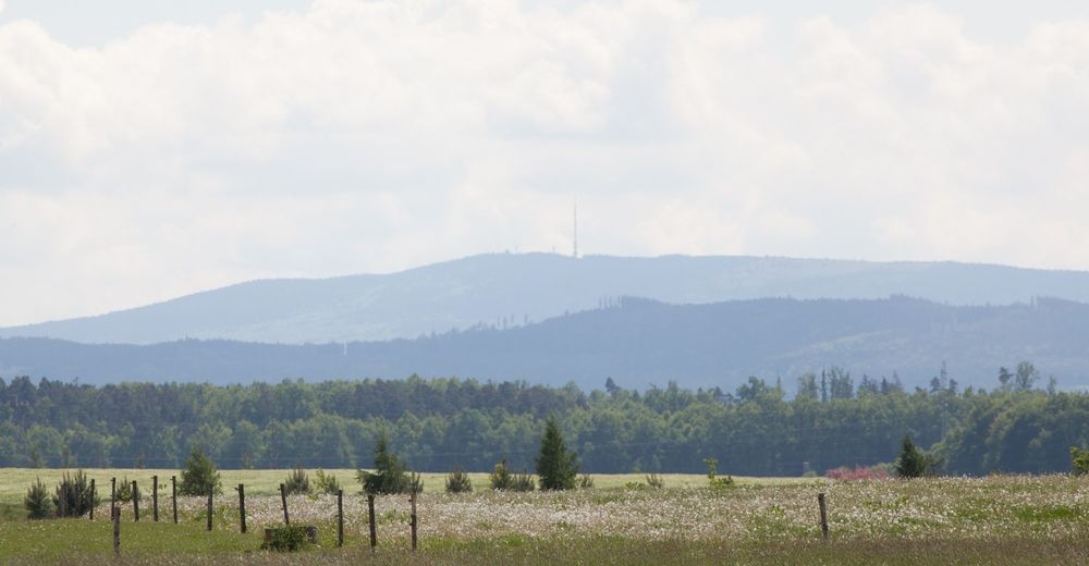
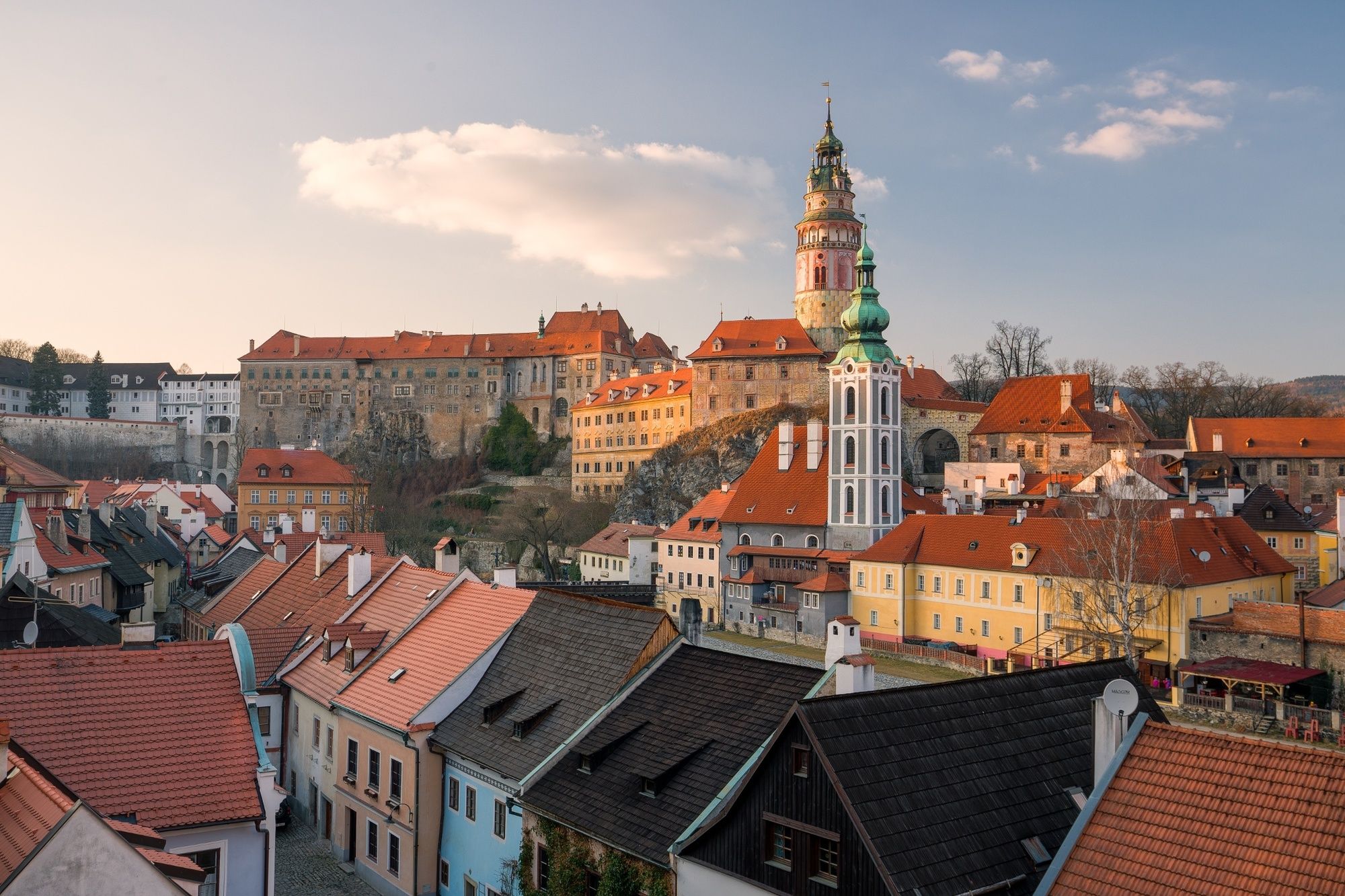
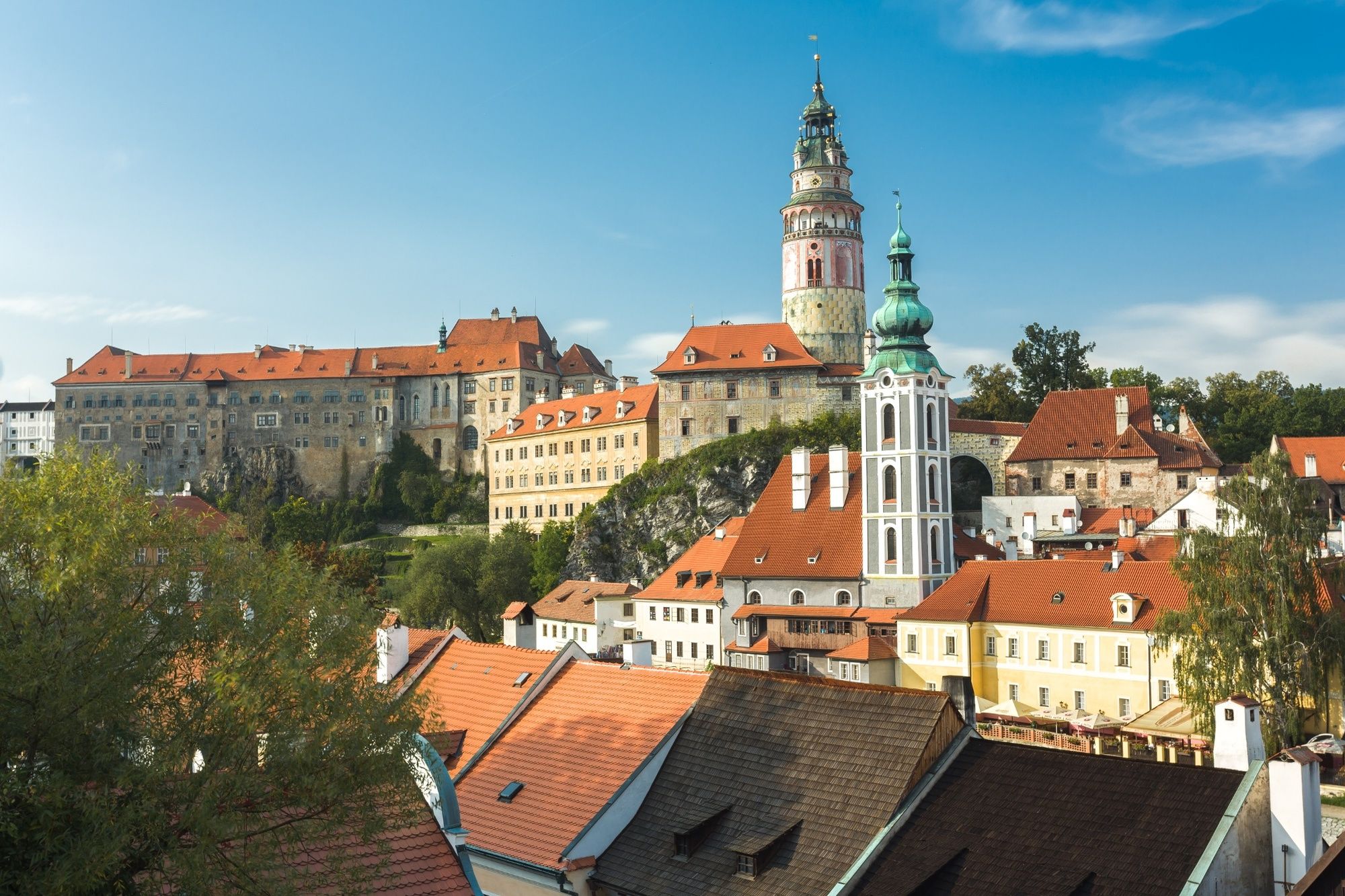
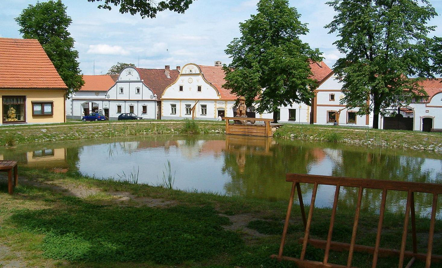
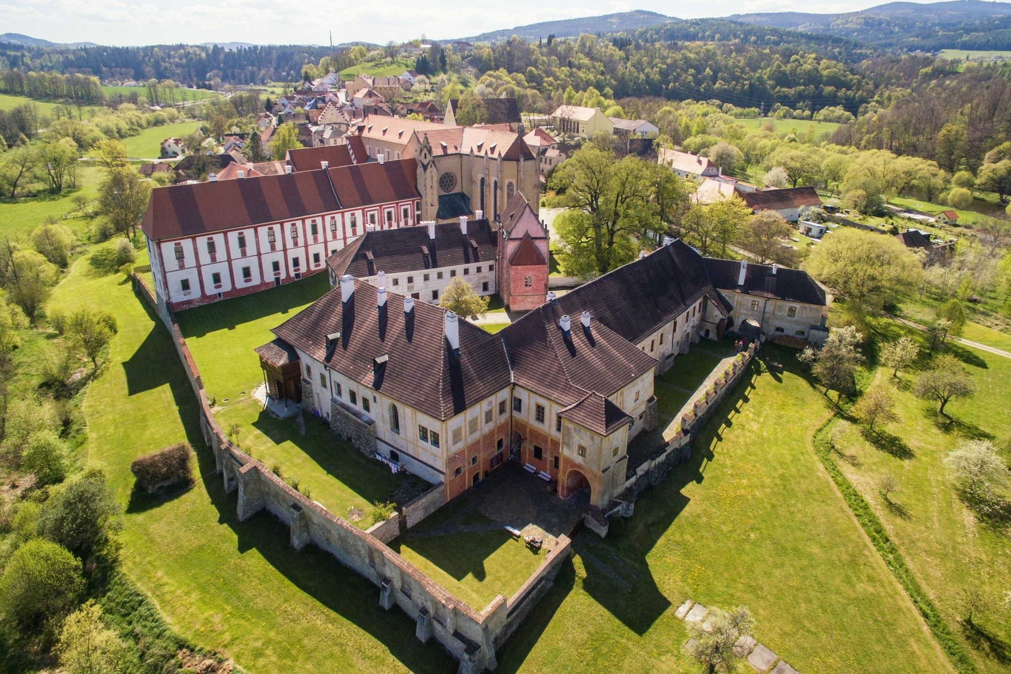
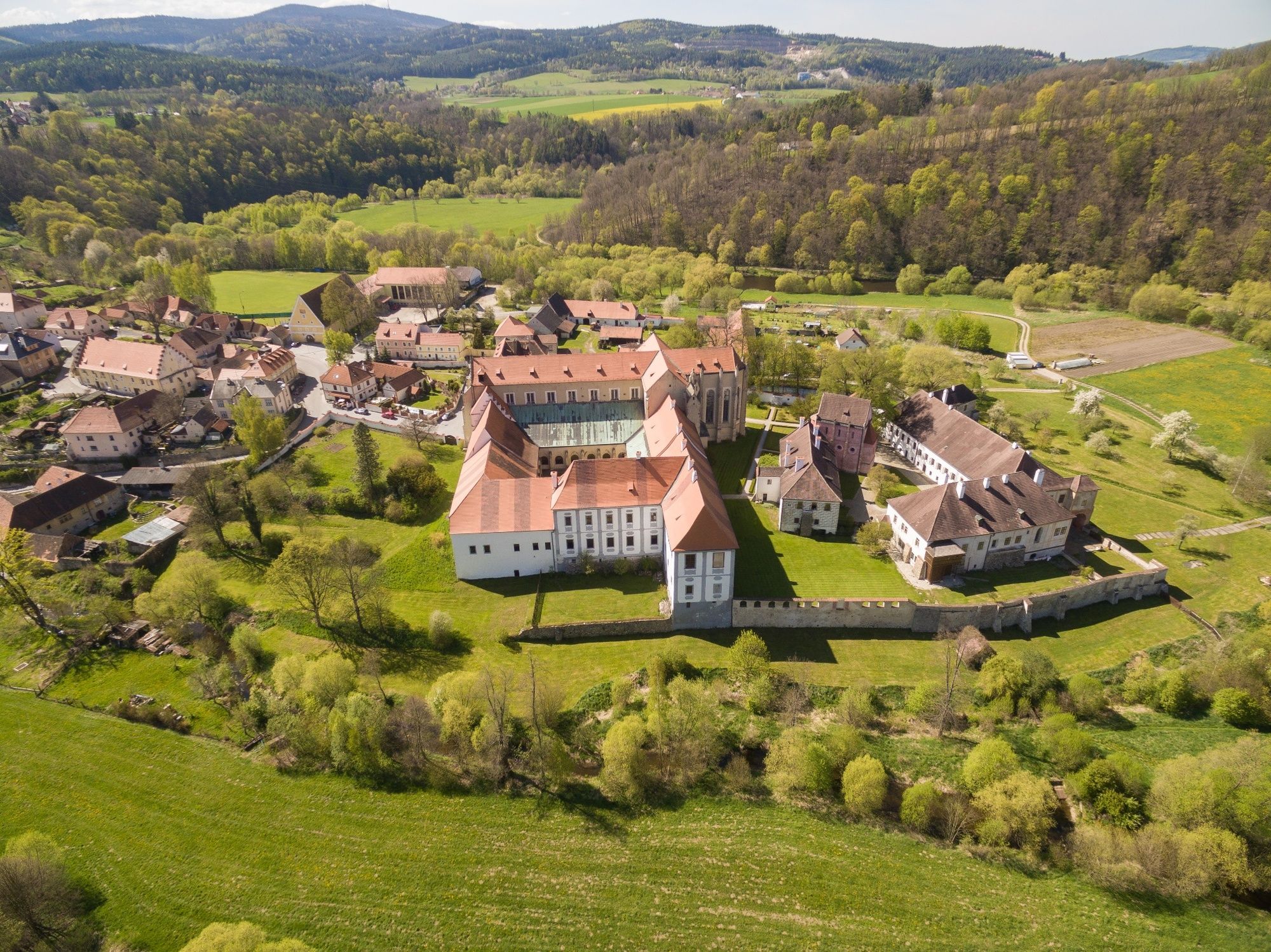
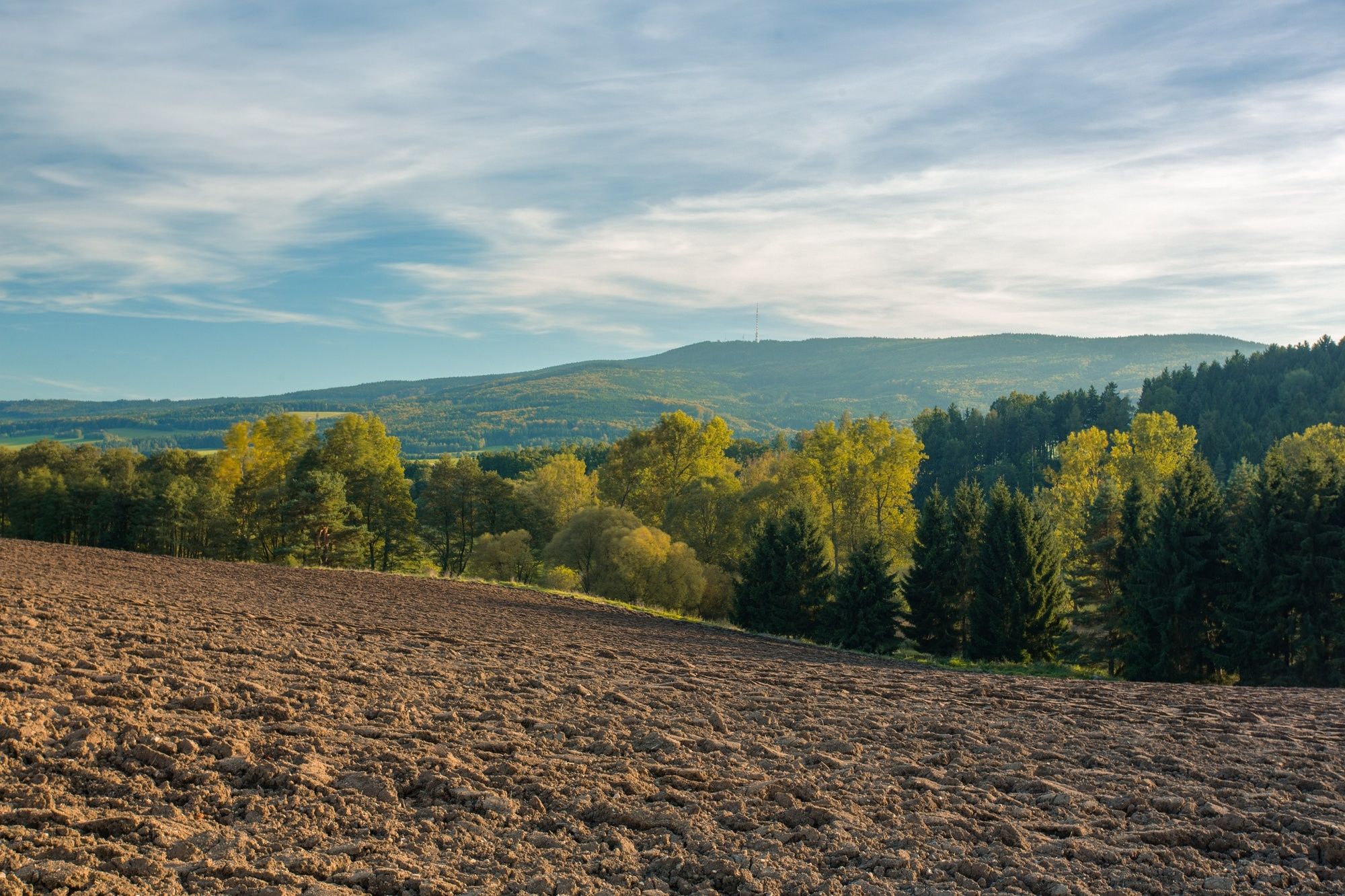
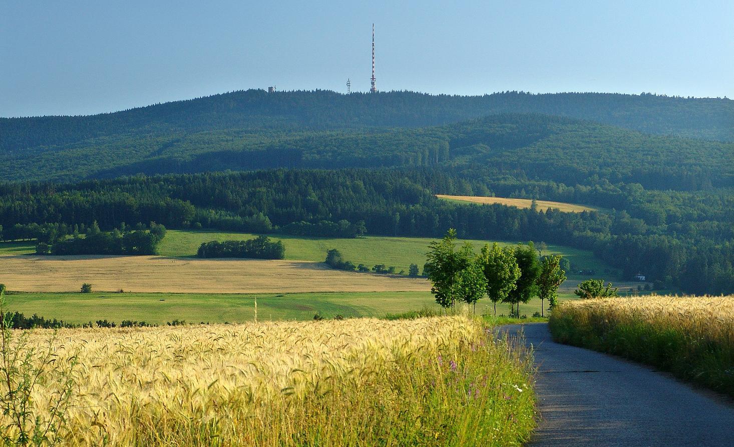
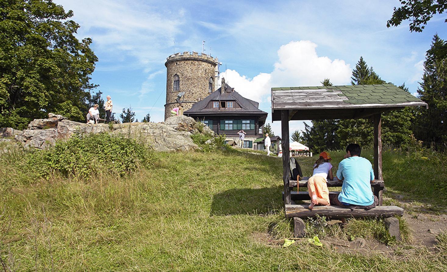
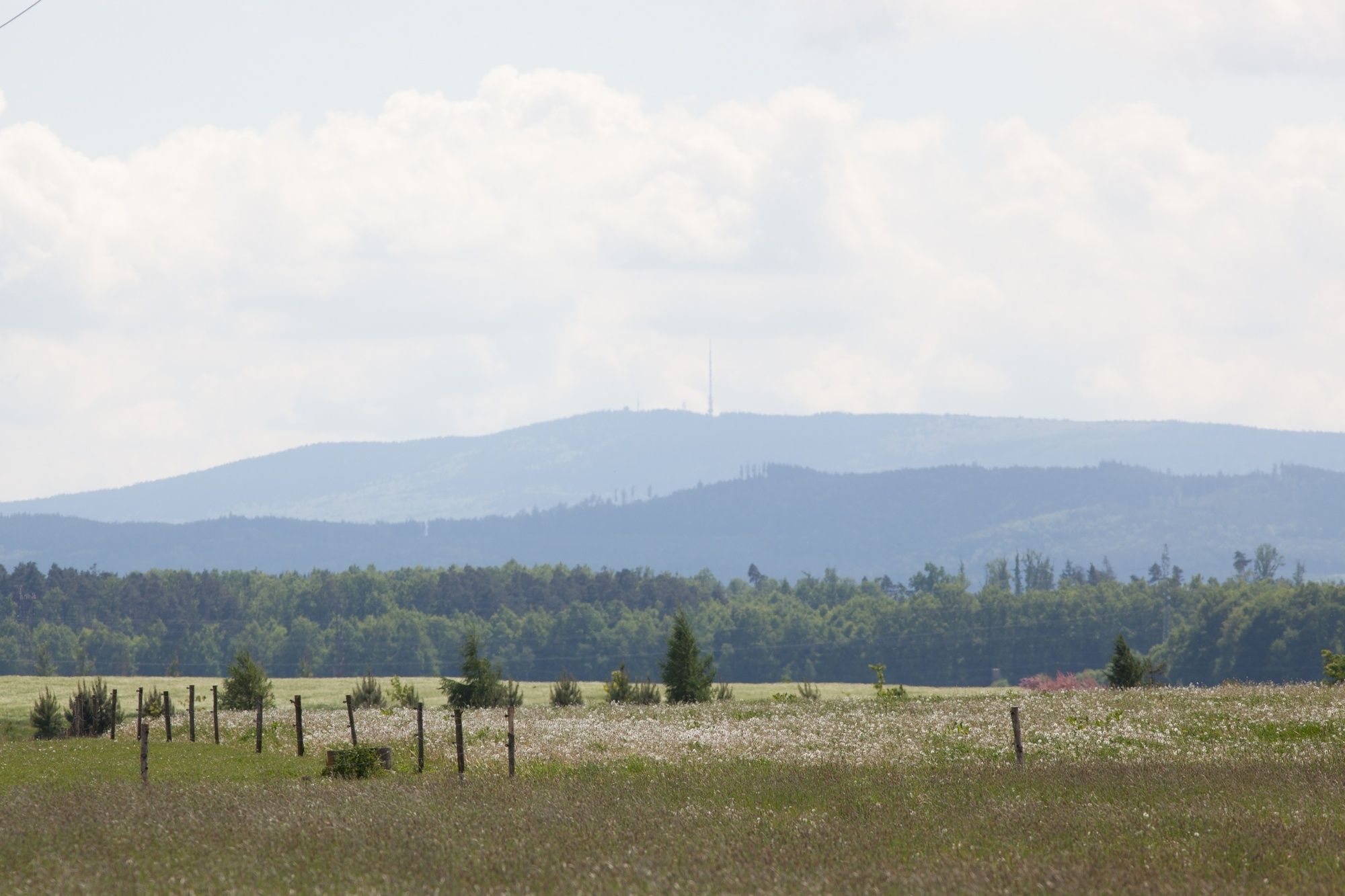
The route starts in Český Krumlov in the Nádražní street in parallel with a number of marked trail routes, the Vltava trail and the international trail EV 7 as the most important of them. At the signpost Nový Dvůr the route leaves the international trail EV 7 and the Vltavská trail and continues northwards in parallel with the trails No. 1166 and No. 1169. At the signpost “U Modrého obrazu” the route turns north in parallel with the cycling trail No. 1166. Then it goes through forests under the Bílý Kámen hill (931 m) and Kleť mountain (1,084 m). If you wish you can leave the trail and climb the Kleť Mountain. The route continues then to the signpost “Pod Růžovým vrchem” and then in parallel with the cycling trail No. 1166 to ski tracks starting point called “Rohy”. From the crossroad, the route runs in parallel with the cycling trail No. 1167 northward through Janské údolí to the village of Brloh. From there it runs in parallel with cycle trails No. 1085 and No. 1090 to the crossroad “Sedm Chalup” and continues along the trail No. 1085 to the crossroad “České Chalupy” and to Holašovice. Here, the route joins the trails No. 1094 and No. 1169 and leads to the village of Jankov. From this village it continues in parallel with the cycling trail No. 1094 to the village of Čakovec, turns south and continues to Vítkovice. From Vítkovice the route runs in parallel with the trail No. 1092 through the village of Habří to Lipí. At the crossroad behind the village Lipí it leaves the marked trails and continues to the village of Závraty and Dvůr Koroseky to Boršov nad Vltavou. The route crosses the Vltava River and in concurrence with the trail No. 12 leads upstream to Kamenný Újezd. Once in Kamený Újezd it follows the trail No.12 through Rančice, Opalice, Čertyně and Záluží to Štěkře where it joins at the signpost the Vltava trail and the international trail EV 7 and runs to “Zlatá Koruna”, “Nová Koruna” and “ Srnín “ to Český Krumlov, where the route ends.
The route is 65.5 km long.
- Highest point
- 893 m
- Height profile
-
 © outdooractive.com
- Author
-
The tour From Český Krumlov through the Blanský forest is used by outdooractive.com provided.
GPS Downloads


General info
Refreshment stop
Cultural/Historical
Flora
Fauna
A lot of view
Other tours in the regions