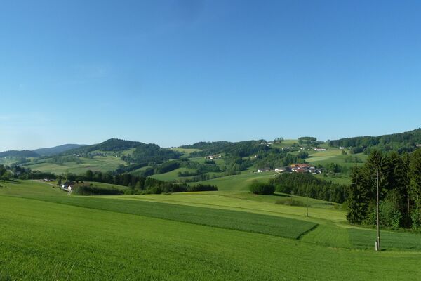

- Brief description
-
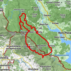
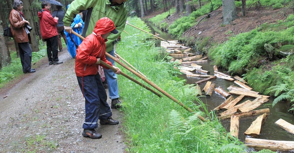
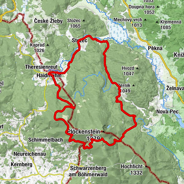
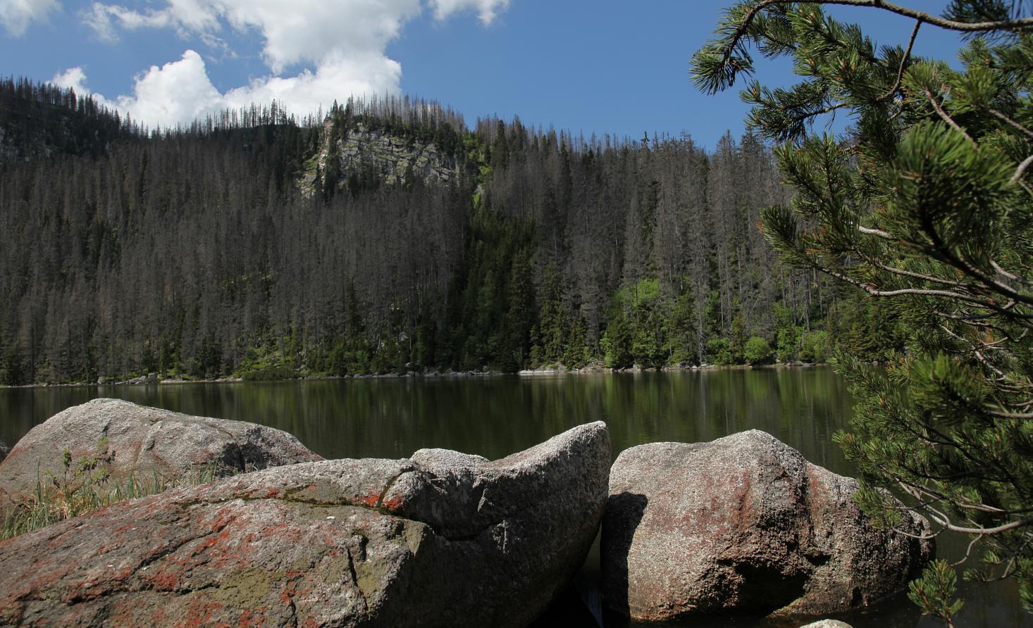
The round trip from the village Stožec will lead you along the Pošumavská Ride Trail through the picturesque forests of the Šumava Borderland. You will also encounter a technical unique - the Schwarzenberg Canal.
- Difficulty
-
medium
- Rating
-
- Starting point
-
Stožec
- Route
-
Tusset0.1 kmPenzion Pstruh0.1 kmU splavu0.6 kmNeuthal4.4 kmHaidmühle6.1 kmGasthof Pension Strohmaier6.1 kmHeilig Maxmilian6.2 kmMarienkapelle7.0 kmRollmannsberg (1,042 m)12.5 kmPutzniglluckn21.4 kmLabyrinthhöhle21.9 kmZwieselhütte24.7 kmImbiss Hirschröhren29.8 kmRosenauer Kapelle34.7 kmHirschbergen36.7 kmSchwarzes Kreuz43.1 kmTusset46.1 km
- Best season
-
JanFebMarAprMayJunJulAugSepOctNovDec
- Description
-
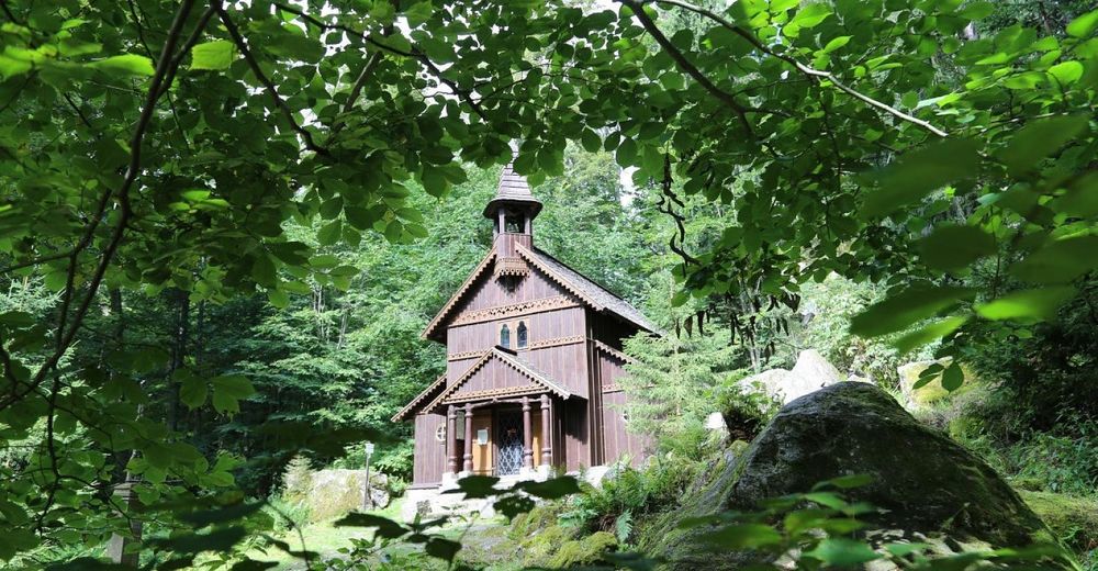
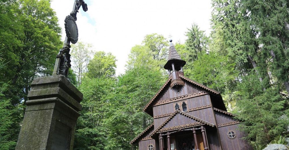
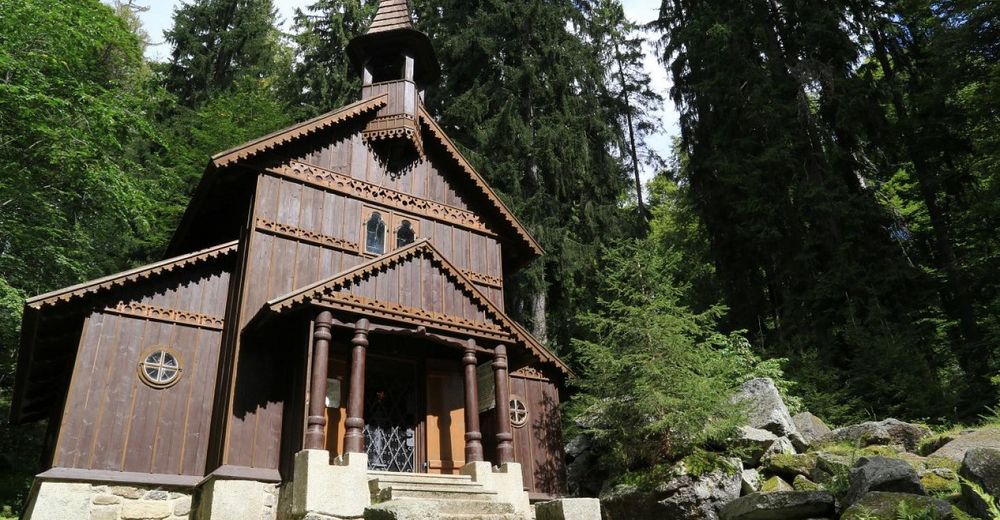
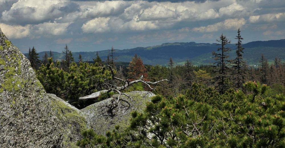
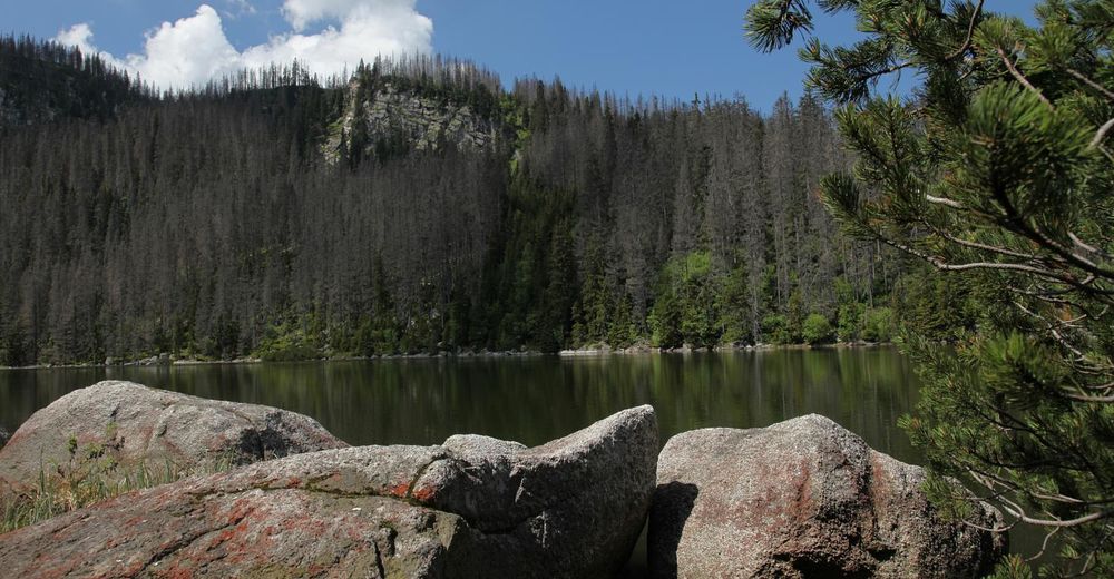
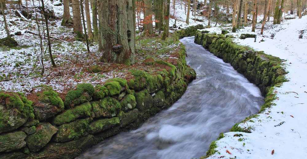
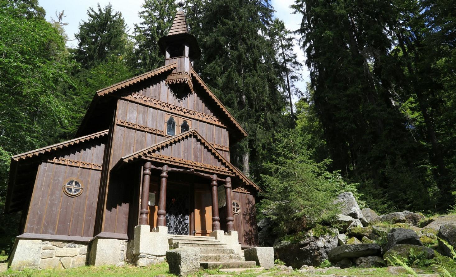
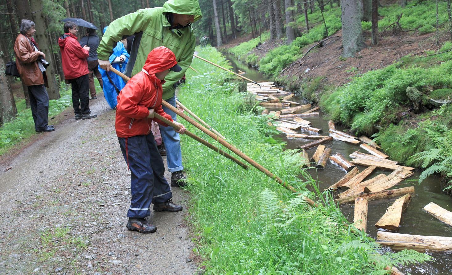
From Stožec you will go along the Pošumavská railway, the shortest international railway in the world, built by a group of enthusiasts, thus resuming cross-border traffic between the Czech Republic and Austria. You will go through Nové Údolí, where are perfect walking routes from one of the most beautiful locations in the Czech Republic. Behind Nové Údolí you cross the state border and reach the city of Haidmühle, beyond which you will meet the boundary of the European watershed between the Black Sea and the North Sea. Around the Spitzberg and Habergrasberg mountains, you will reach a signpoint on Třístoličník, where you can take advantage of tourist services and climb to the top of Třístoličník, as well as climb the nearby Vysoký kámen (1332 m. n. m.). From the crossroads on Třístoličník, the route continues along the state border with Austria to Trojmezí (Czech, German and Austrian contact points), then to Říjiště and the Schwarzenberg navigational canal, along which you will go upstream along Rosenauer Chapel to Jelení to the Lower and Upper Portal of Schwarzenberg Canal and then back to Stožec.
- Directions
-
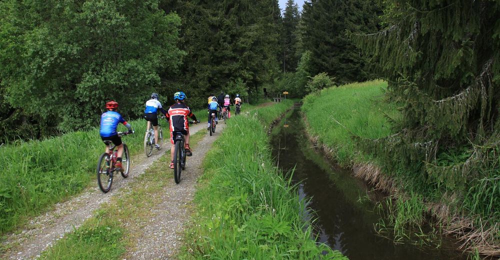
The route starts from the car park in the village of Stožec, in the southern direction it leads along the trail No. 1024 in parallel with the stripe marked yellow trail “Pošumavské jízdní dráhy” up to the border crossing Nové Údolí– Haidmühle. The route crosses the border and continues along the trail Neuthaler Strasse Nationalpark to Haidmühle. From Haidmühle it continues along the road UCL (E6) to the border of the European watershed between the Black and North Sea and then along the road (FRG 13) under the Spitzberg Mountain (1,021 m) back to the border (Stifter Graben), the route does not cross the border but continues further around the Habergrasberg Mountain (1,235 m) to the signpost on Třístoličník. To get to its peak you can use the local services, you can also enjoy the climb of the nearby mountain Vysoký Kámen (1,332 m). From the crossroad to Třístoličník the route continues along the road G2 Trk, joins the cycle trail G2 Adalbert Stifter-Weg and leads to the border with Austria. Approximately 21 km after the start, the route crosses the Austrian border and continues along the route G2 Hochwald Mountainbike Runde to Čertův Klíč and then to the information board with turning to Trojmezí (point of contact between Czech Republic, Germany and Austria). Consequently it arrives at the Adalbert Stifter Spring. From this spring the route continues to the border and returns to the Czech Republic. It follows then the trail No. 1026 to Říjiště and to Schwanzenberg Logging Canal along the Koňský potok (Rossbach). The trail No. 1023 runs along the Schwarzenberg Canal (upstream) around the Rossenauer Chapel to the village Jelení to the so-called Lower Portal of the Schwarzenberg Logging Canal. The trail continues then to the Upper Portal of the Canal and then to the village of Černý Kříž where it crosses the railway line and taking the trail No. 33 (Šumavská magistrála) it returns to the village of Stožec. There are many facilities prepared for the cyclists.
The route is 43.3 km long, difficulty from 2 to 3 (climbing the peaks of Třístoličník), it takes the marked trails and mostly tarmac roads. It is suitable for all-day trip.
- Highest point
- 1,238 m
- Endpoint
-
Stožec
- Height profile
-
 © outdooractive.com
 - Equipment
-
Trekking bike, cycling helmet
- Tips
-
On the German side of Třístoličník you can find the Berggasthof Dreisesselberg mountain pub: http://www.dreisessel.com
- Additional information


- Author
-
The tour Around Třístoličník is used by outdooractive.com provided.


General info
-
Böhmerwald
61
-
Haidmühle
14