

- Brief description
-
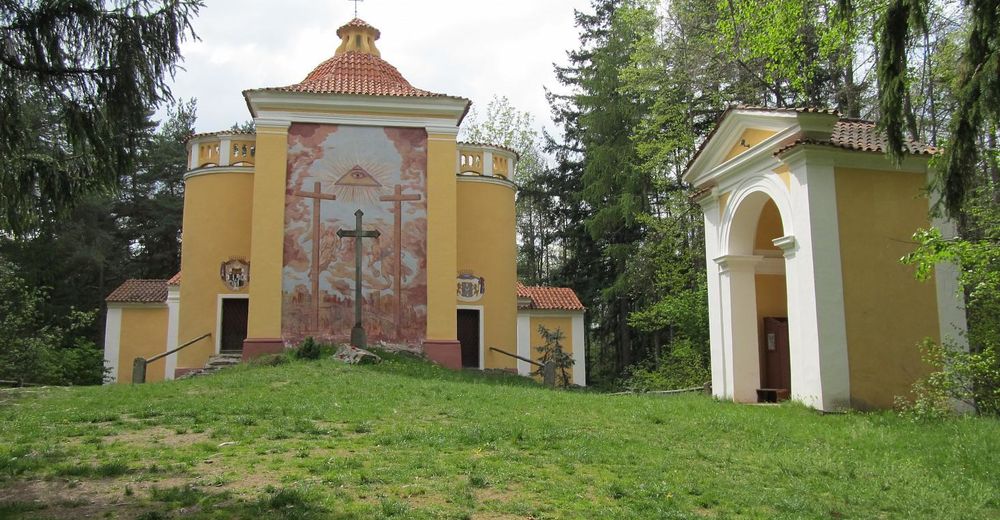
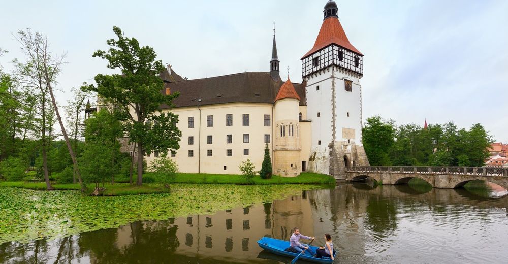
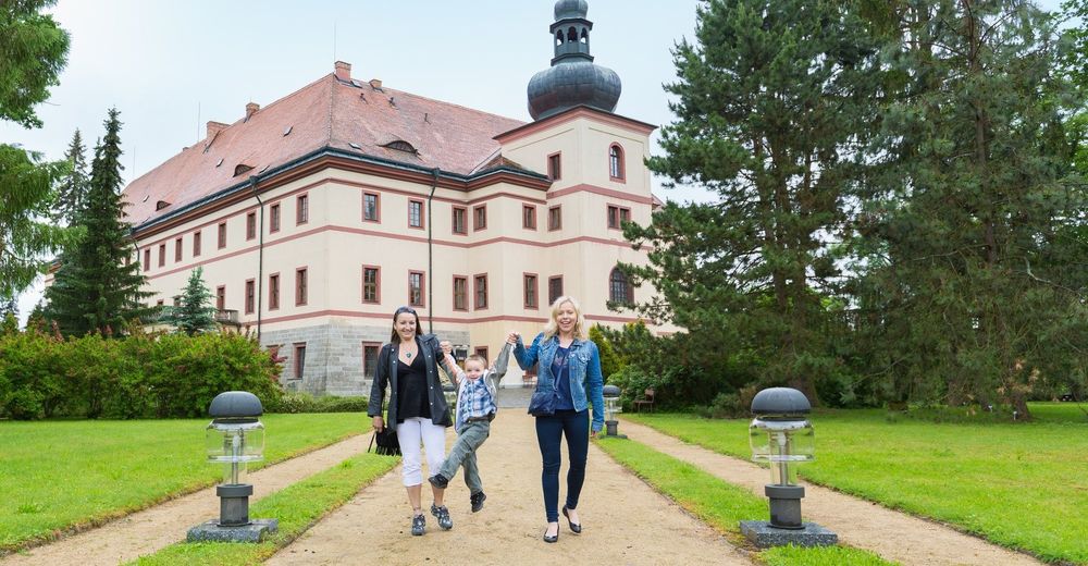
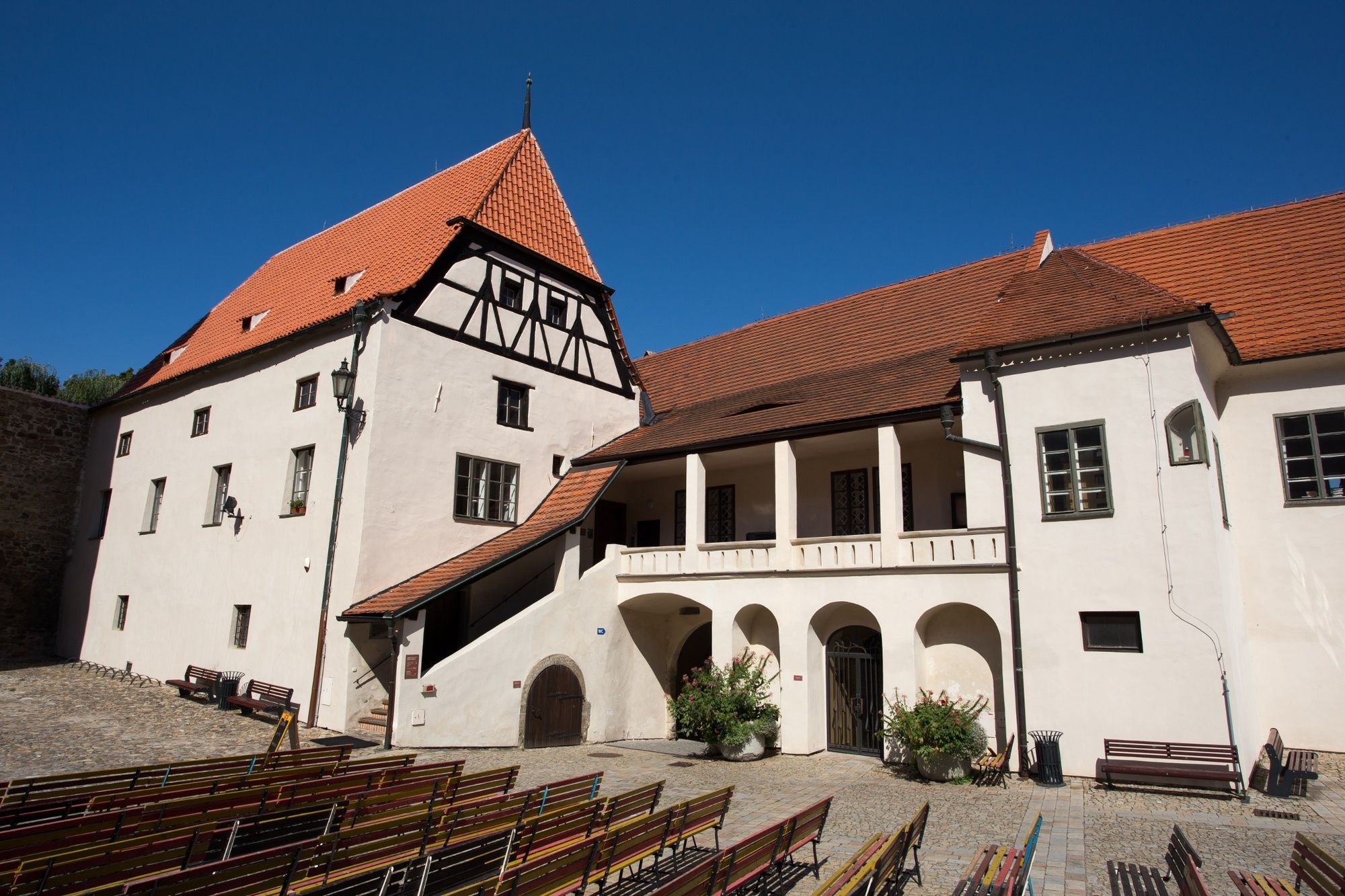
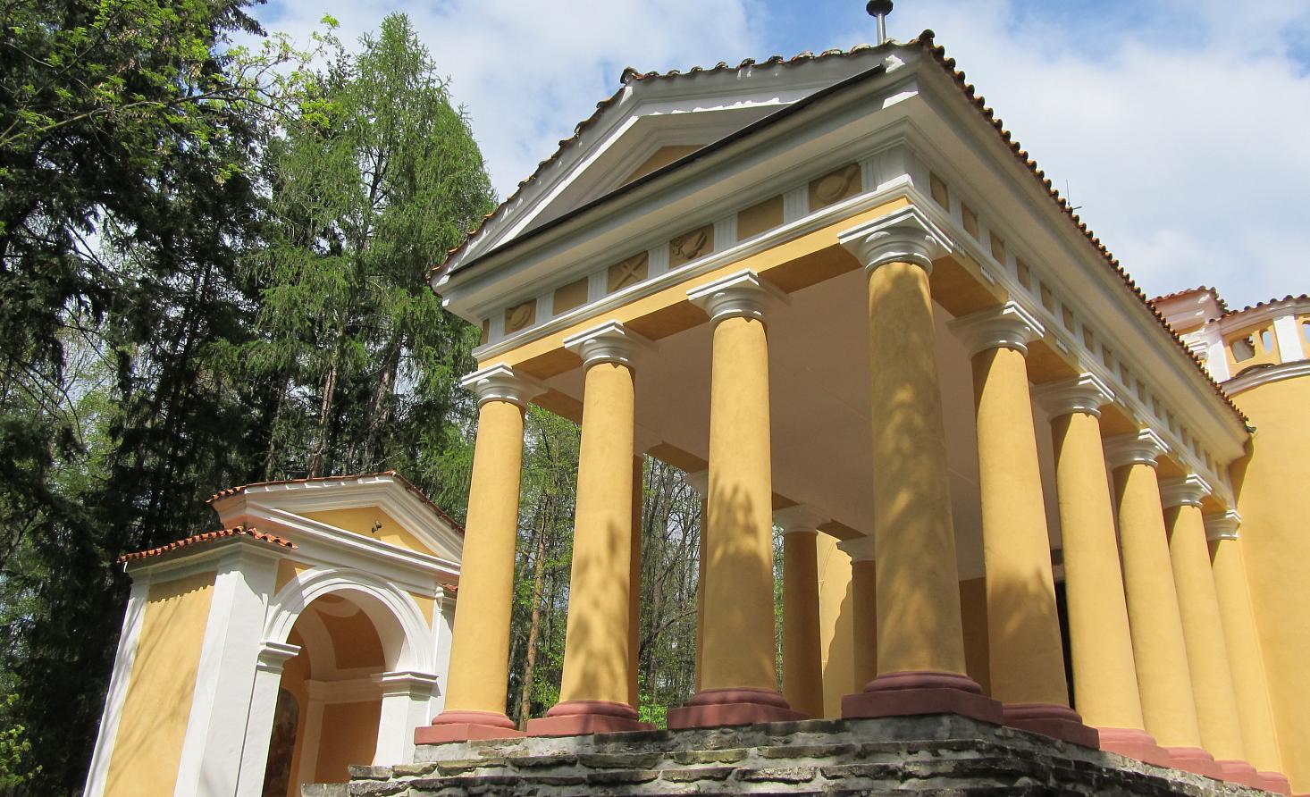
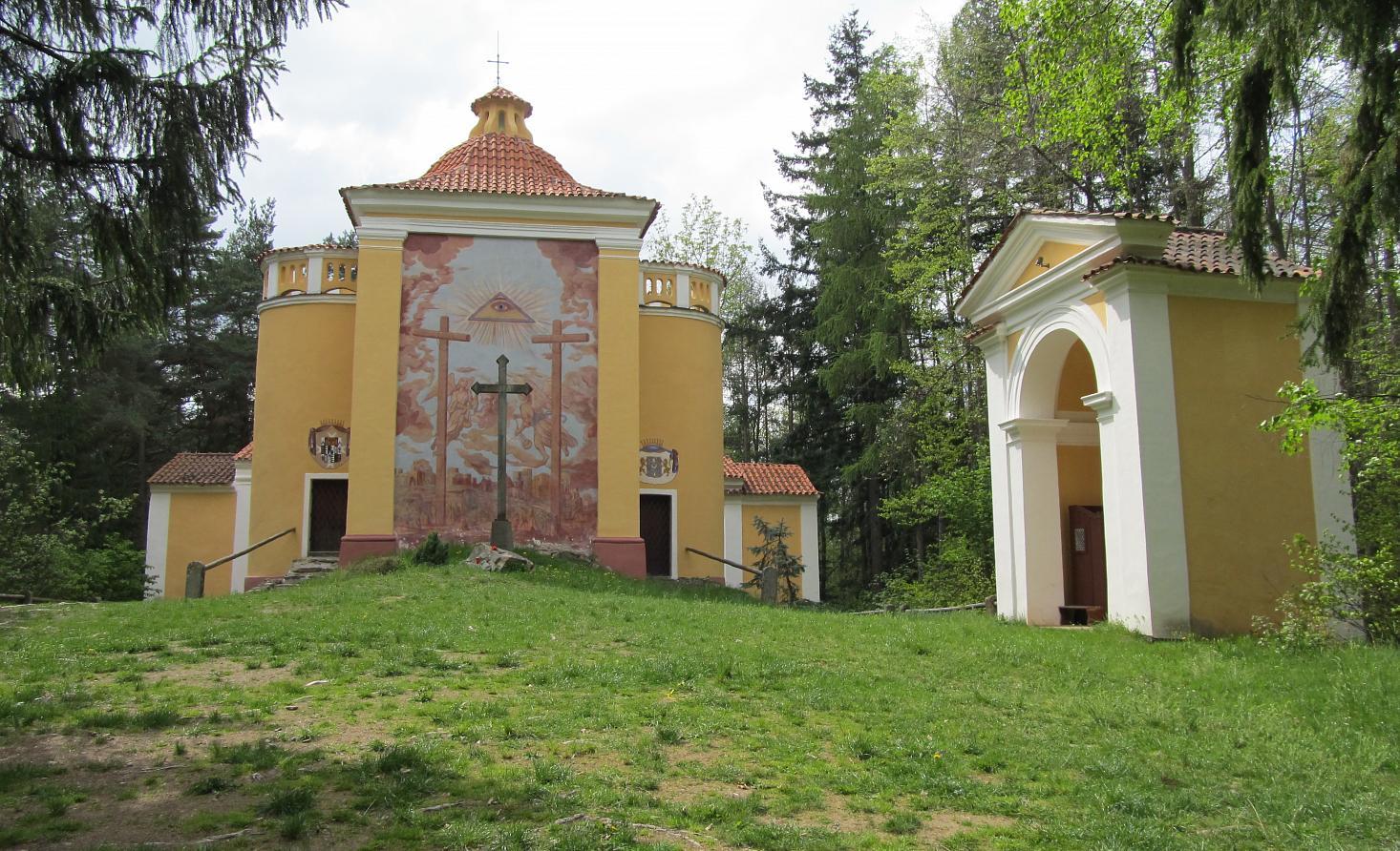
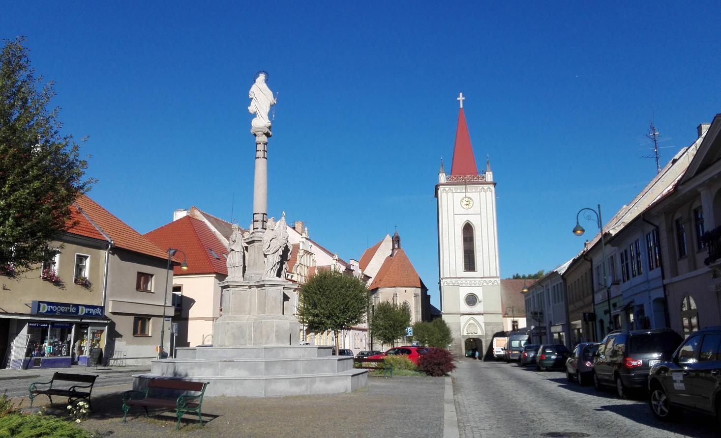
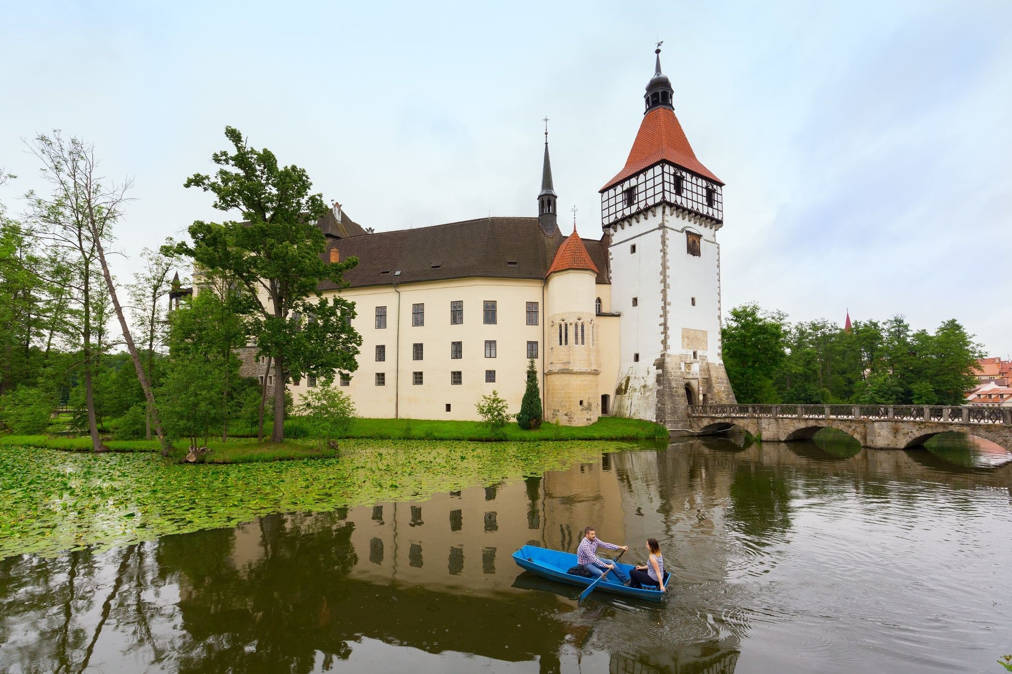
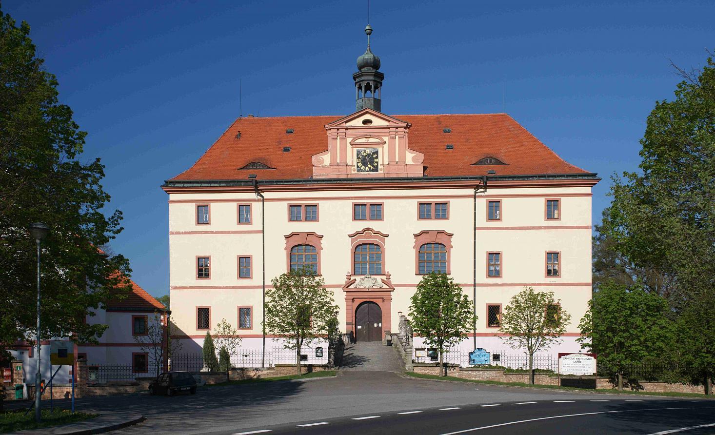
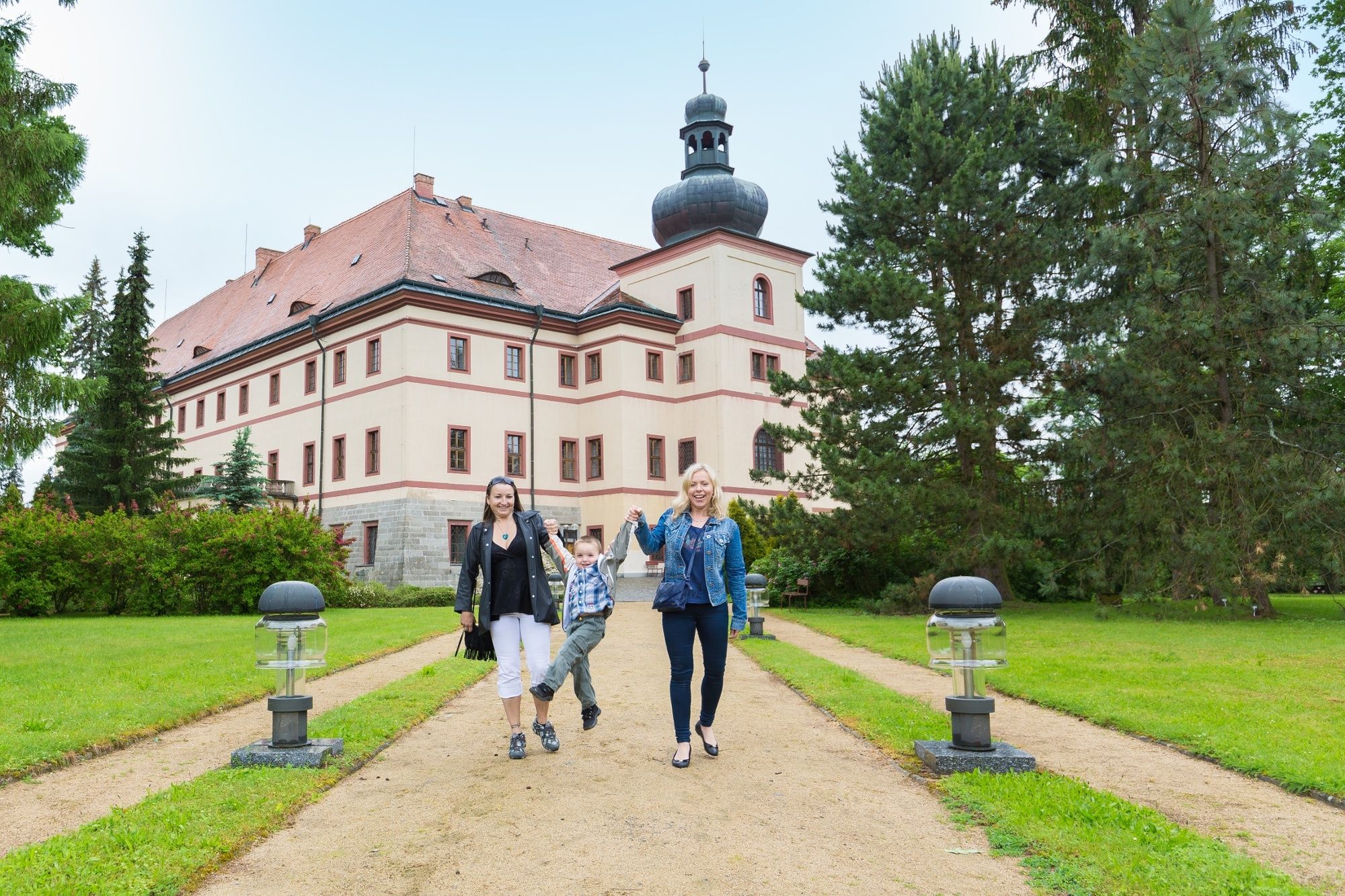
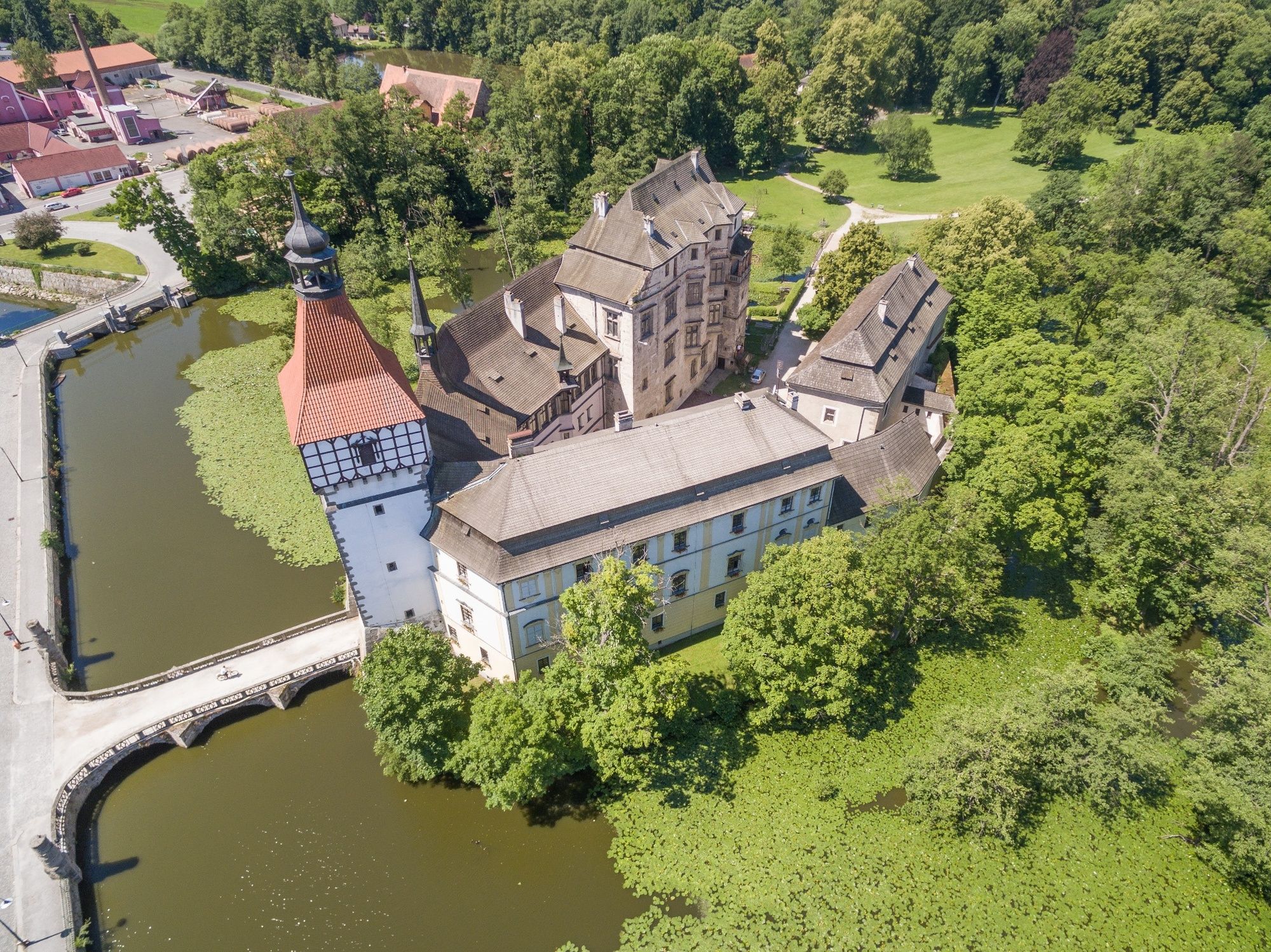
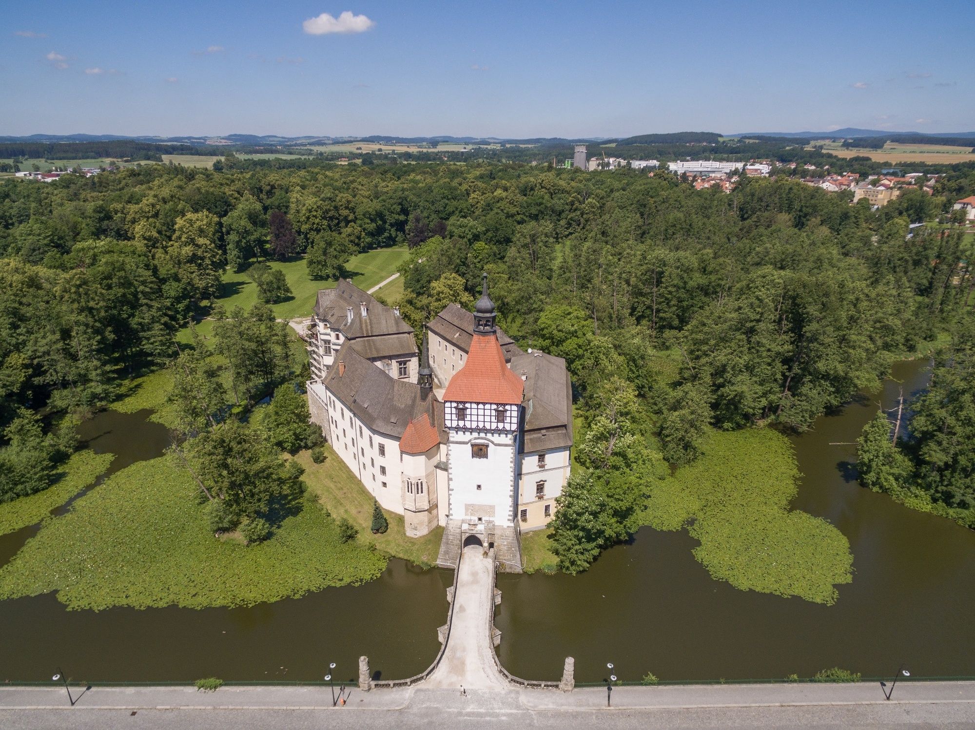
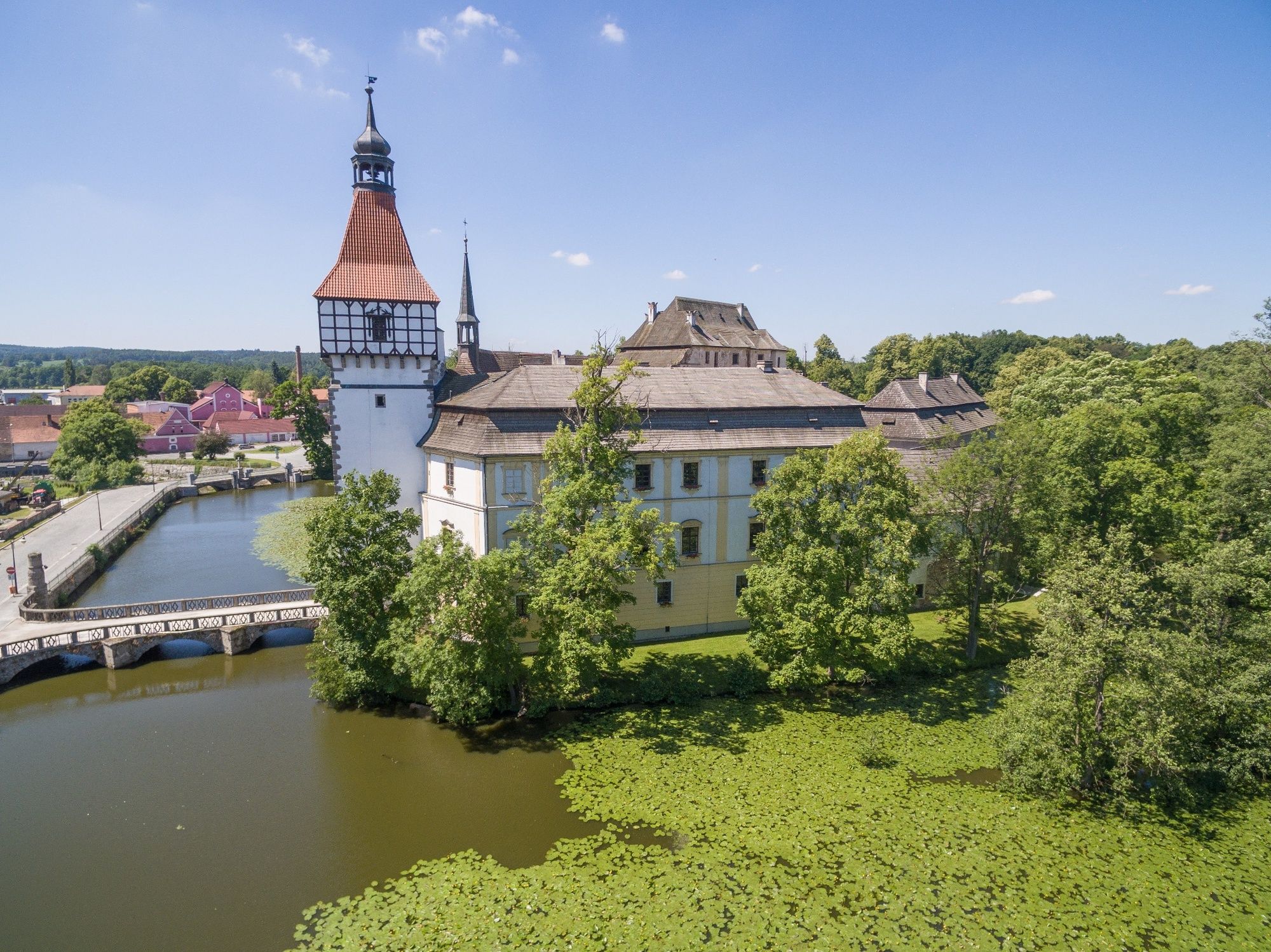
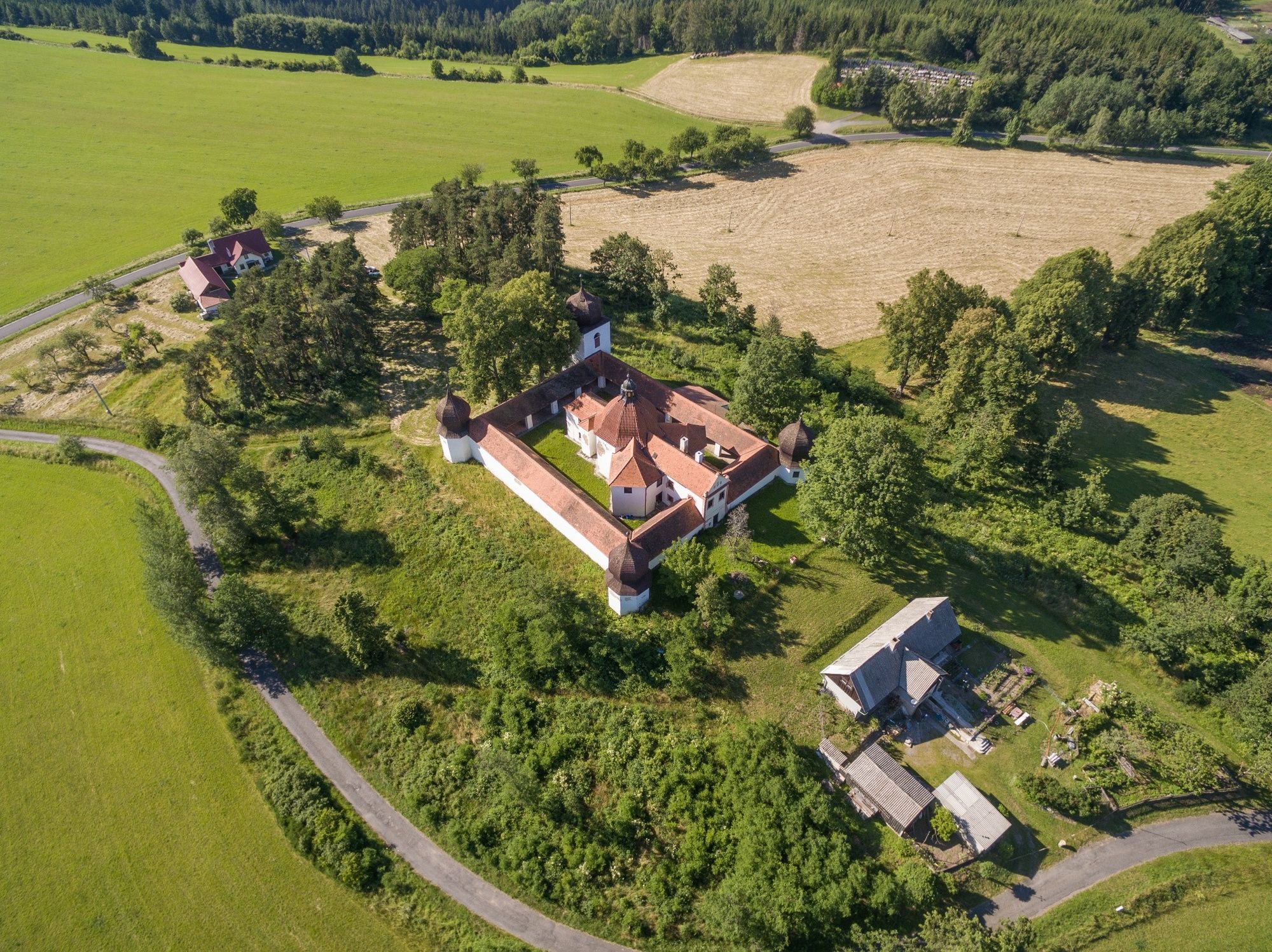
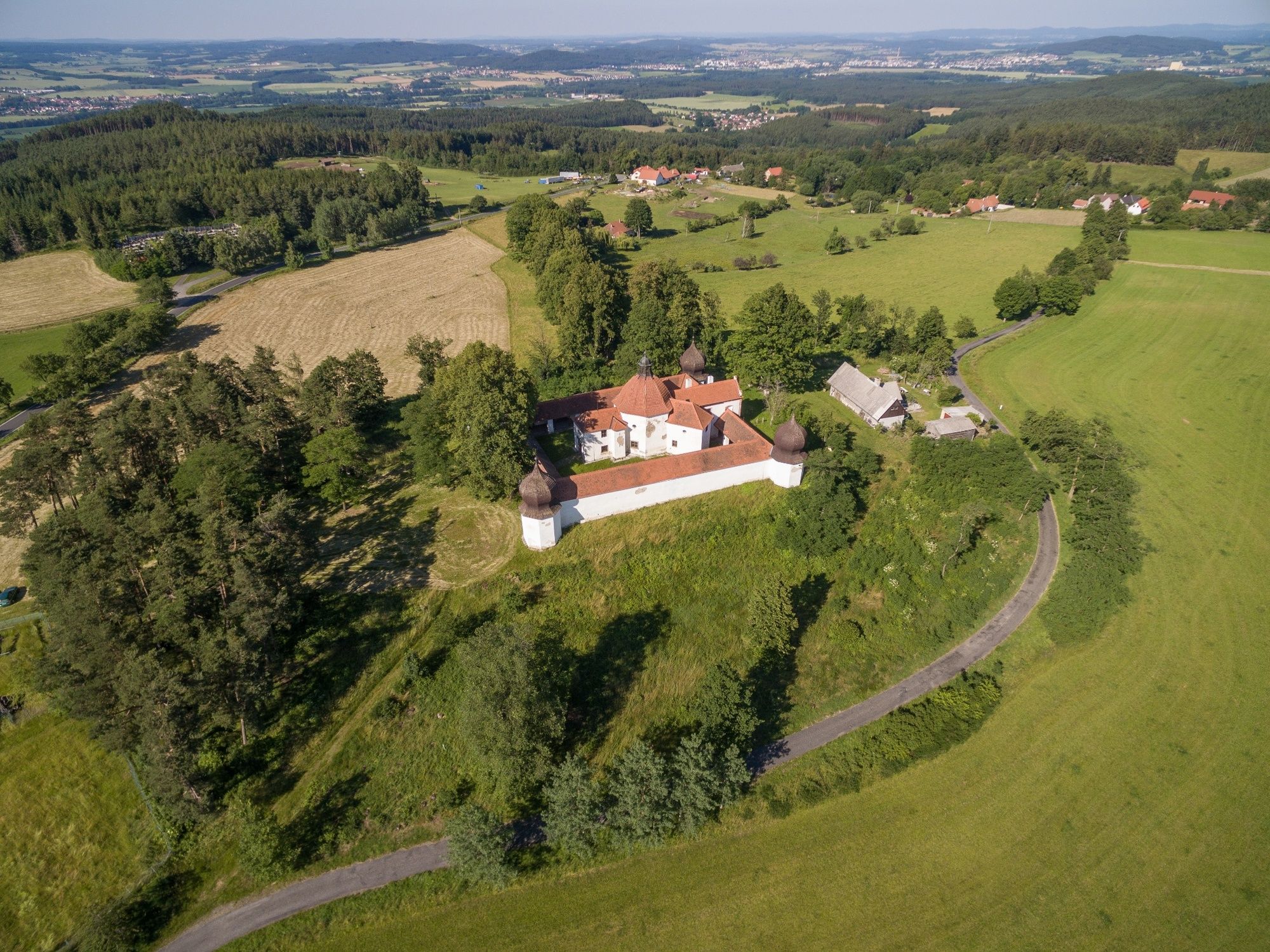
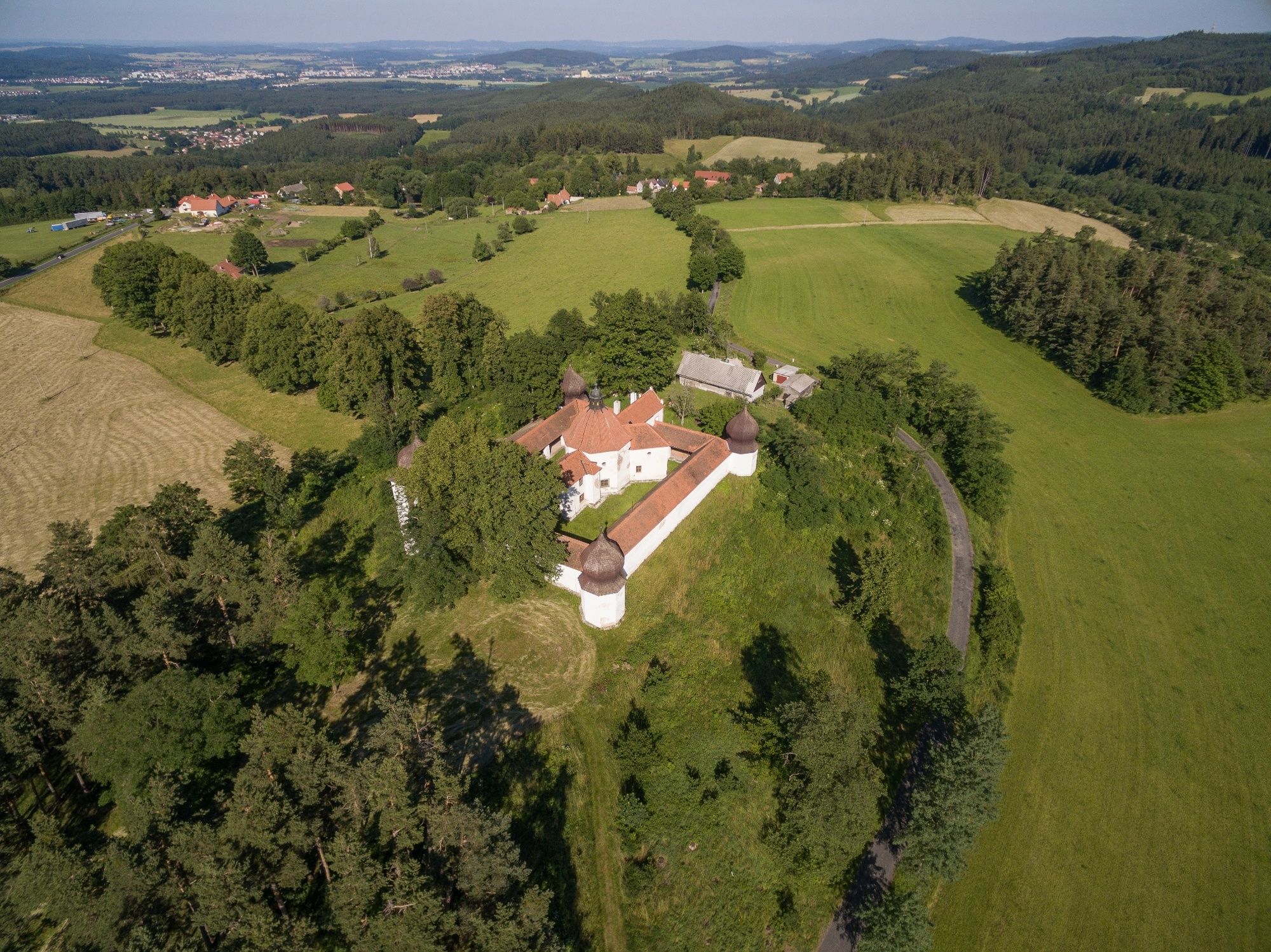
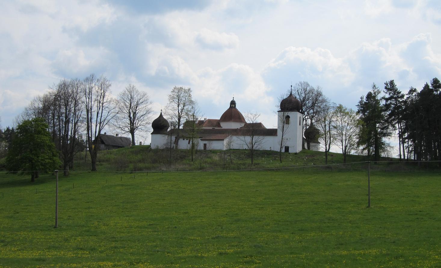
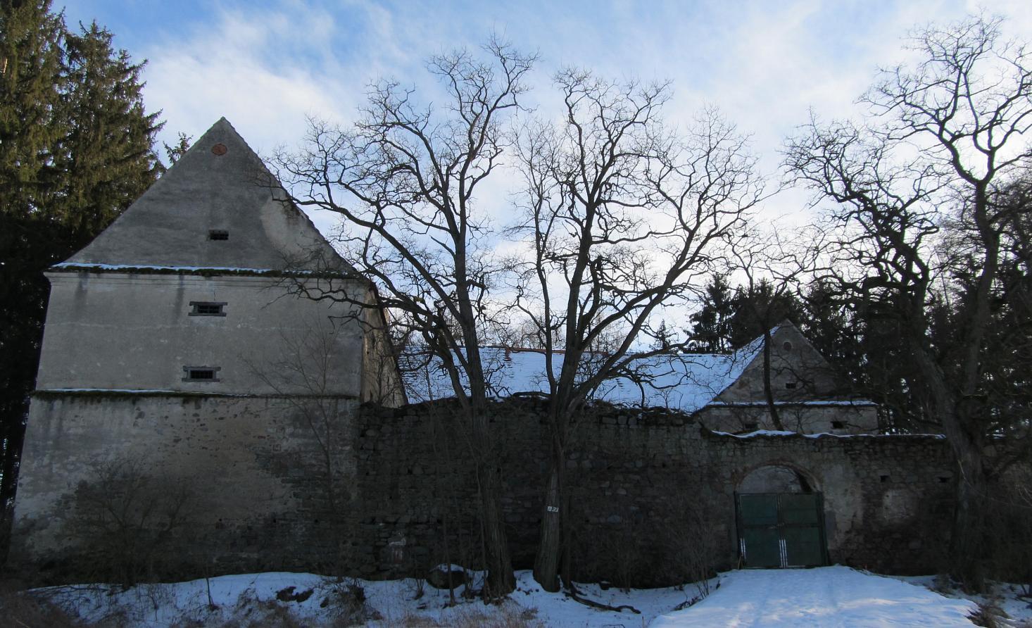
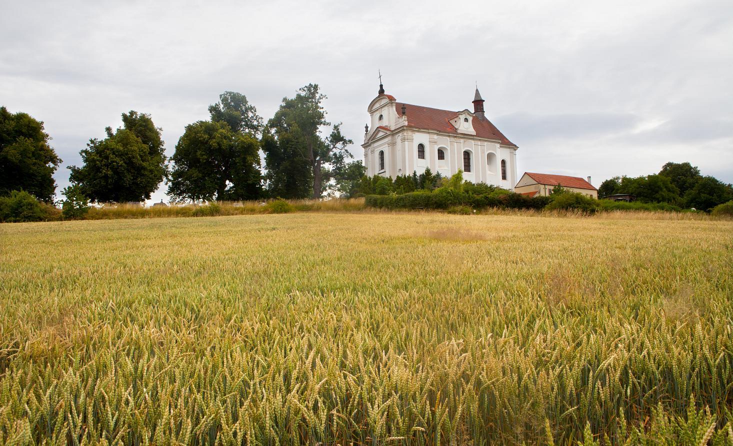
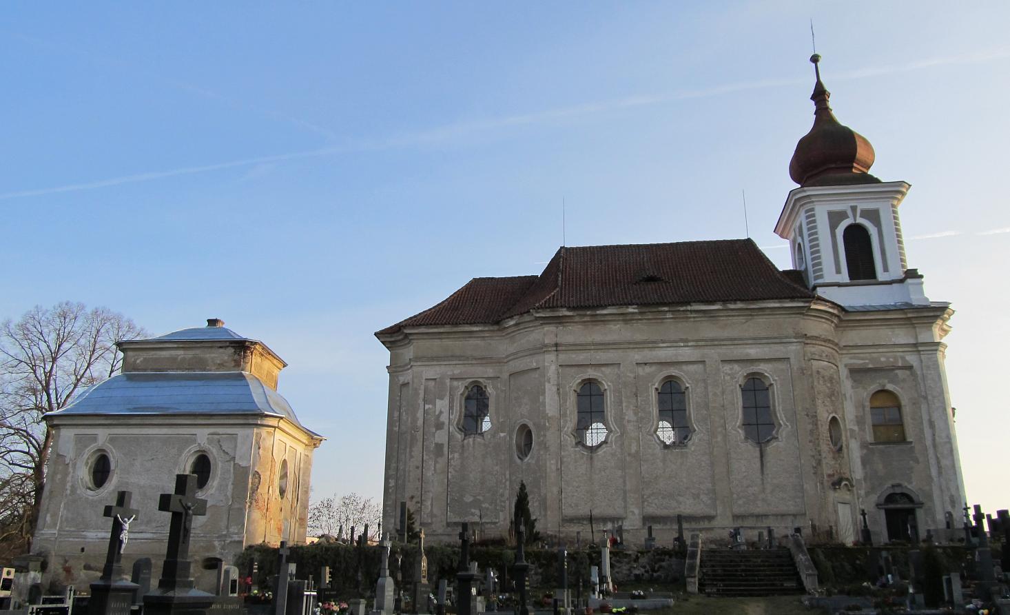
Folk architecture, majestic mansions, castles, palaces and ruins, baroque churches and a calvary in the middle of flowering meadows and glittering ponds - like this and even more varied is Prácheňsko.
- Difficulty
-
medium
- Rating
-
- Starting point
-
Volyně
- Route
-
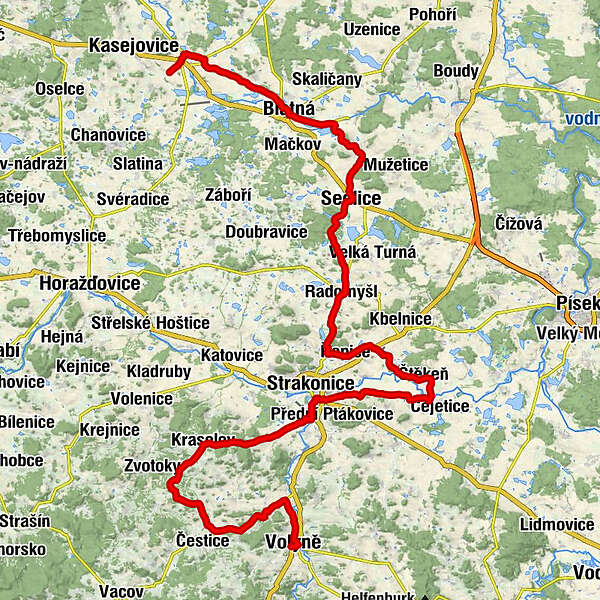
Hradčanykostel Českobratrské církve evangelické0.0 kmKostel všech svatých0.1 kmRestaurace u Pošů0.1 kmWolin0.2 kmValšička1.5 kmPřechovice2.1 kmNěmětice3.9 kmZa humny4.1 kmNihošovice5.5 kmPočátky8.2 kmDoubravice u Volyně8.8 kmNa Špici9.9 kmStřídka10.4 kmNěmčice12.1 kmHodějov15.2 kmŠkrobočov16.3 kmMladotice16.9 kmKraselov18.6 kmSmiradice21.9 kmSousedovice23.6 kmMutěnice25.8 kmStrakonitz28.2 kmStrakonitz II28.4 kmsvatý Vojtěch29.1 kmNejsvětější Trojice29.2 kmsvatý Václav29.2 kmHajská31.9 kmRestaurace Otava38.8 kmŠtěkeň38.8 kmsv. Mikuláš39.1 kmStudánka Dobrá voda39.6 kmPřešťovice41.7 kmRovná43.7 kmsvatá Maří Magdaléna45.5 kmRepitz45.5 kmDomanice48.9 kmKaletice49.8 kmRadomyšl50.9 kmLáz54.7 kmSedlitz59.2 kmŠkvořetice62.5 kmPacelice64.0 kmBlatna68.7 kmHajany73.6 kmSchlüsselburg78.2 kmNa Panské78.2 km
- Best season
-
JanFebMarAprMayJunJulAugSepOctNovDec
- Description
-
Your journey begins in Volhynia. From there, after a tour of the center, drive along Palacký Street to the right waterside of Volyňka along the Volyňka cycling route to Němětice. Then you will go through Nihošovice to Doubravice near Volyně. Less than a kilometer behind Doubravice you can decide at the roundabout whether to jump to Čestice or continue straight to Střídka and Němčice. About 1.5 km behind Němčice turn right and go through Hodějov, Škrobočov, Mladotice, Kraselov, Sousedovice and Mutěnice to the center of Strakonice. You will leave Strakonice along the Otava cycling route, which will lead you to Štěkeň and then to nearby Přešťovice. Through the village of Rovná and Řepice you will reach Domanice and Radomyšl and cross it to Sedlice. From Sedlice you will head northwards through Škvořetice to Pacelice, after which you turn to the path along the dams of the Great Dresden and Buzický ponds at the crossroads at the Buzice fortress. From there you will head west to Blatná. Here you are offered a short detour to Paštiky and back (total 5km), otherwise continue through Hajany to Lnář.
- Directions
-
Your journey begins in Volhynia. From there, after a tour of the center, drive along Palacký Street to the right waterside of Volyňka and turn left behind the bridge. You join the Volyňka cycling path, which lead you to Němětice, where you carefully turn to II/170 and then you go through Nihošovice to Doubravice near Volyně. Less than a kilometer before Doubravice CT121 joins you from the left and you can decide at the roundabout whether to jump to Čestice or continue straight on CT121 along the less frequented road III. cl. to Střídka and Němčice. About 1.5 km behind Němčice turn right, leaving CT121 and continue on CT1068, which takes you through Hodějov, Škrobočov, Mladotice, Kraselov, Sousedovice and Mutěnice to the center of Strakonice. You will leave Strakonice along the line CT12 = Otava cycling path (also marked with a logo in the terrain), which leads you safely to Štěkňe where you leave it by turning left. On a little busy road you go to nearby Přešťovice. Less than a kilometer after Velký Přešťovice Pond, you cross the busy road I/4 and in the village of Rovná turn left to CT1260 and then you reach Řepice. Arount one kilometer after Řepice, carefully turn to the right, you put into operation on the road II/173 and you follow it through Domanice to Radomyšl, where you will join CT1062 and with it less than one kilometer after Radomyšl leave road II/173 and after CT1062 to Sedlice. From Sedlice take the north direction along road III. cl. via Škvořetice to Pacelice, behind which you turn less than a kilometer to the right on the path along the dams of the Great Dresden and Buzický pond at the crossroads near the fortress Buzice. From there, head west on the CT31 to Blatná. Here you will find a short turn to Paštiky and back (total 5km) along CT311. From Blatná follow the CT31 through Hajany to Lnář. The route is 89 km long, medium difficulty, suitable for all types of bikes. Considering the length and difficulty of the route, we recommend to the weaker and average cyclists to take it as a two-day trip with overnight stay in Strakonice. To get back, use the train from the nearby Hradiště u Blatné train stop.
- Highest point
- 650 m
- Endpoint
-
Hradiště u Blatné
- Height profile
-
 © outdooractive.com
 - Equipment
-
Trekking bike, cycling helmet
- Safety instructions
-
Considering the length and difficulty of the route, we recommend to the weaker and average cyclists to take it as a two-day trip with overnight stay in Strakonice.
- Tips
-
In the surroundings of Volyně you can use the nature trail "Selské baroko" - two routes of 18 and 20 km.
- Additional information


- Author
-
The tour Prácheňsko by bike is used by outdooractive.com provided.