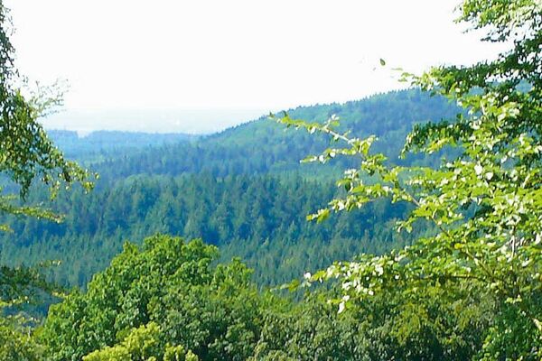
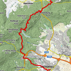
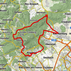
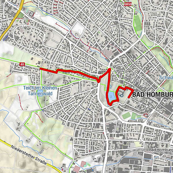
Bad-Homburg-Schleife, Hugenotten- und Waldenserpfad

Hiking
Map
Hide map
Print

Which problem do you want to report on this tour?

Tour data
4.66km
176 - 199m
Distance
21hm
23hm
Ascent
01:10h
 
Duration
Error
An error has occurred. Please try again.
Thank you for your review

Rating has been deleted

GPS Downloads
  • GPX GPS Exchange Format (XML)
  • KML Google Earth, Google Maps
QR Download Codes for Mobile Phones
Other tours in the regions

Popular tours in the area

Hochtaunusstraße

Hiking
44.22km | 694hm | 00:41h

Zu Kelten und Römern

medium Hiking
18.61km | 440hm | 05:30h

Überquerung des Taunus

medium Hiking
61.59km | 1687hm | 06:00h

Zeitpfade zu Burgen und Schlössern und zum Limes

medium Hiking
46.23km | 905hm | 10:30h