© Tourist-Information/Bad Orb Kur GmbH - Kathryn Weppe

© Tourist-Information/Bad Orb Kur GmbH - Kathryn Weppe

© Tourist-Information/Bad Orb Kur GmbH - Kathryn Weppe
- Brief description
-
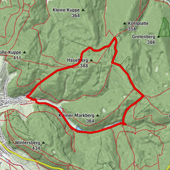
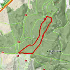
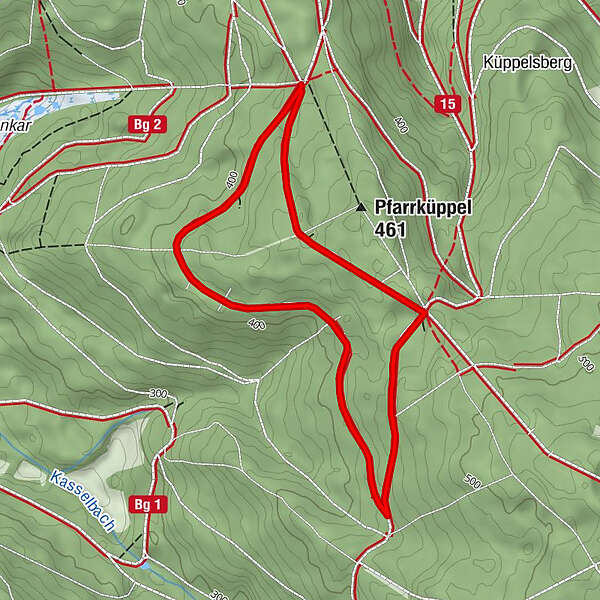
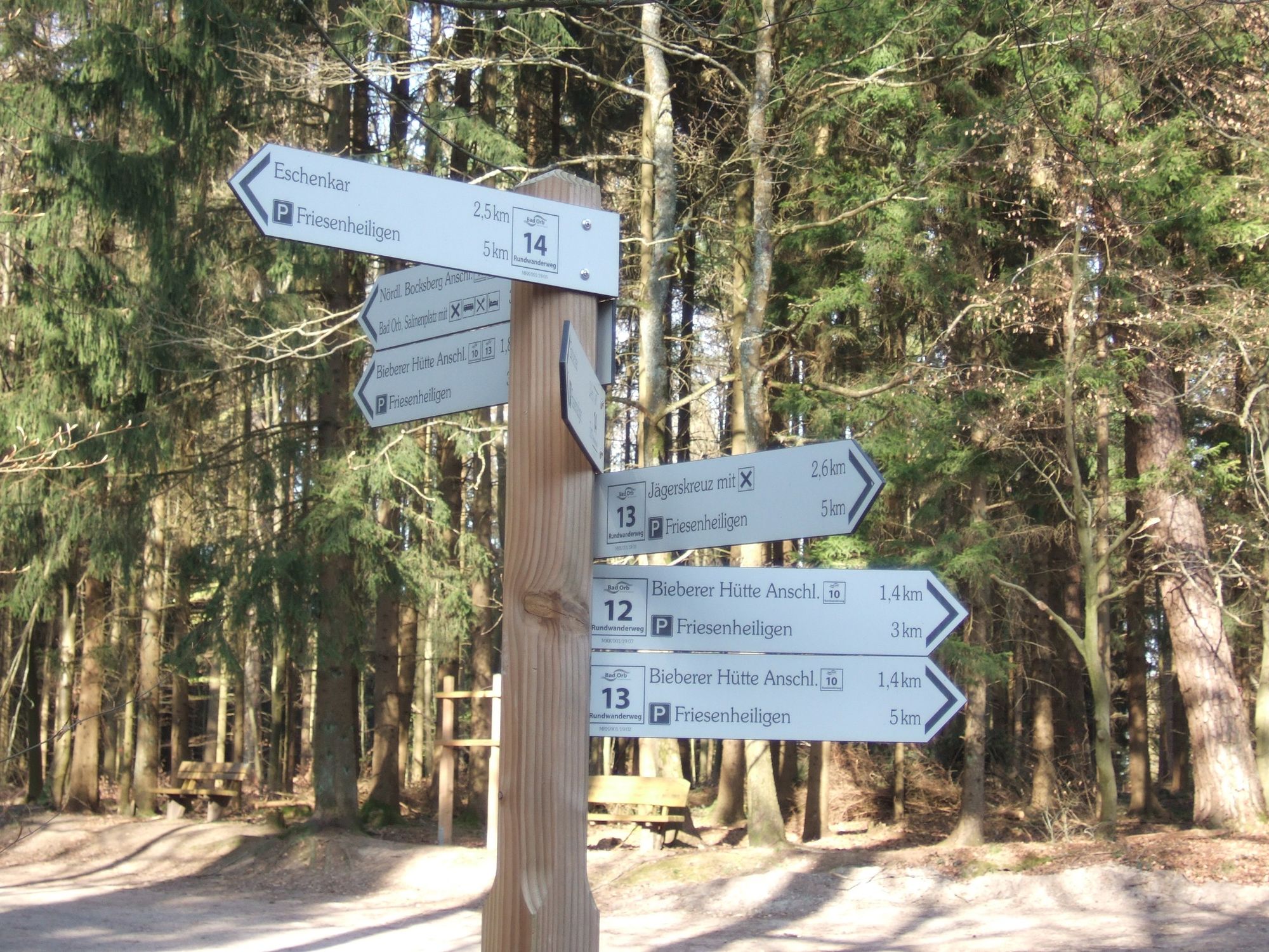
Gemütliche Rundwanderung durch den dichten Forst des Bad Orber Stadtwaldes.
- Difficulty
-
easy
- Rating
-
- Best season
-
JanFebMarAprMayJunJulAugSepOctNovDec
- Highest point
- 444 m
- Endpoint
-
Wanderparkplatz "Friesenheiligen"
- Height profile
-
 © outdooractive.com
- Author
-
The tour Rundweg 13 - Wildererweg Bad Orb is used by outdooractive.com provided.
GPS Downloads


General info
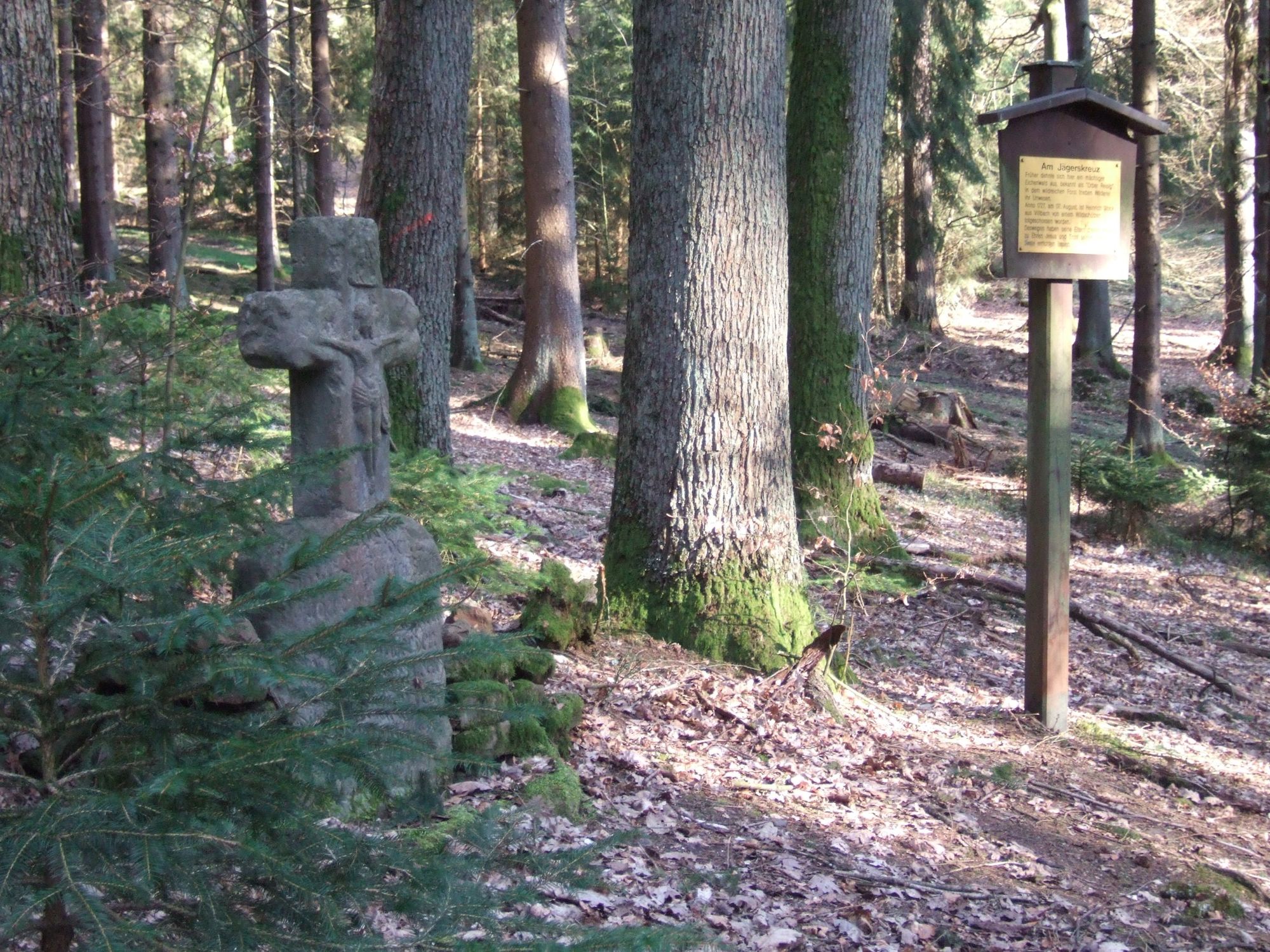
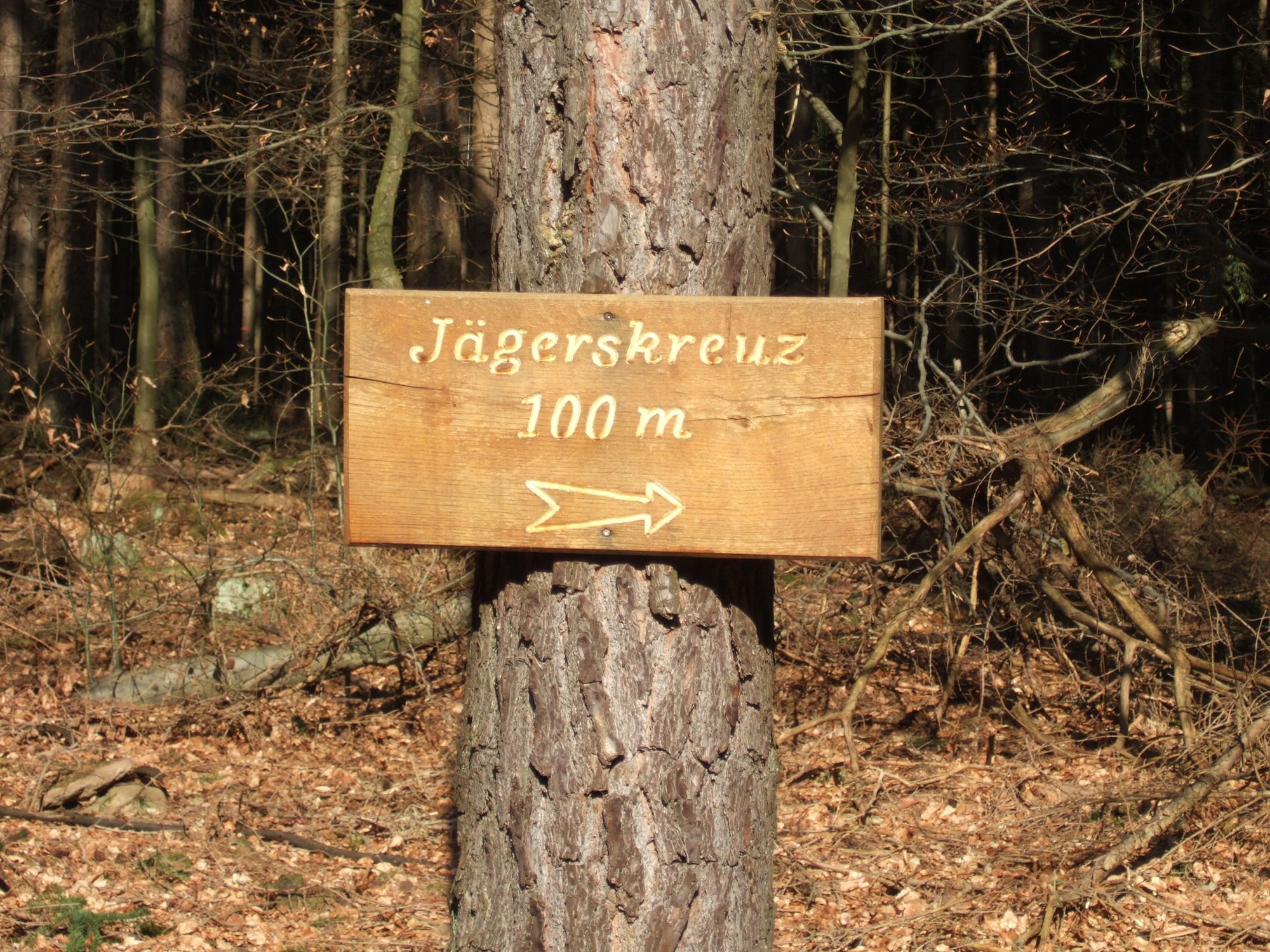
Cultural/Historical