- Brief description
-
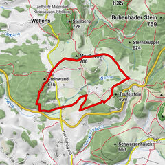
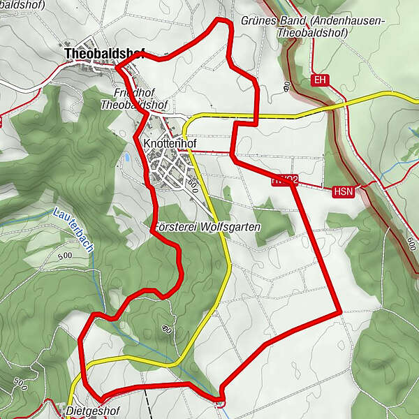
From Theobaldshof through the Wolfsgarten to Dietgeshof and back.
- Difficulty
-
medium
- Rating
-
- Starting point
-
Theobaldshof, hiking car park at the church
- Route
-
TheobaldshofKnottenhof0.5 kmDietgeshof2.3 kmTheobaldshof7.0 km
- Best season
-
JanFebMarAprMayJunJulAugSepOctNovDec
- Description
-
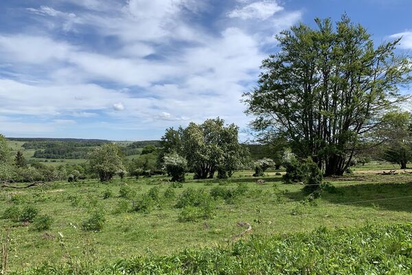
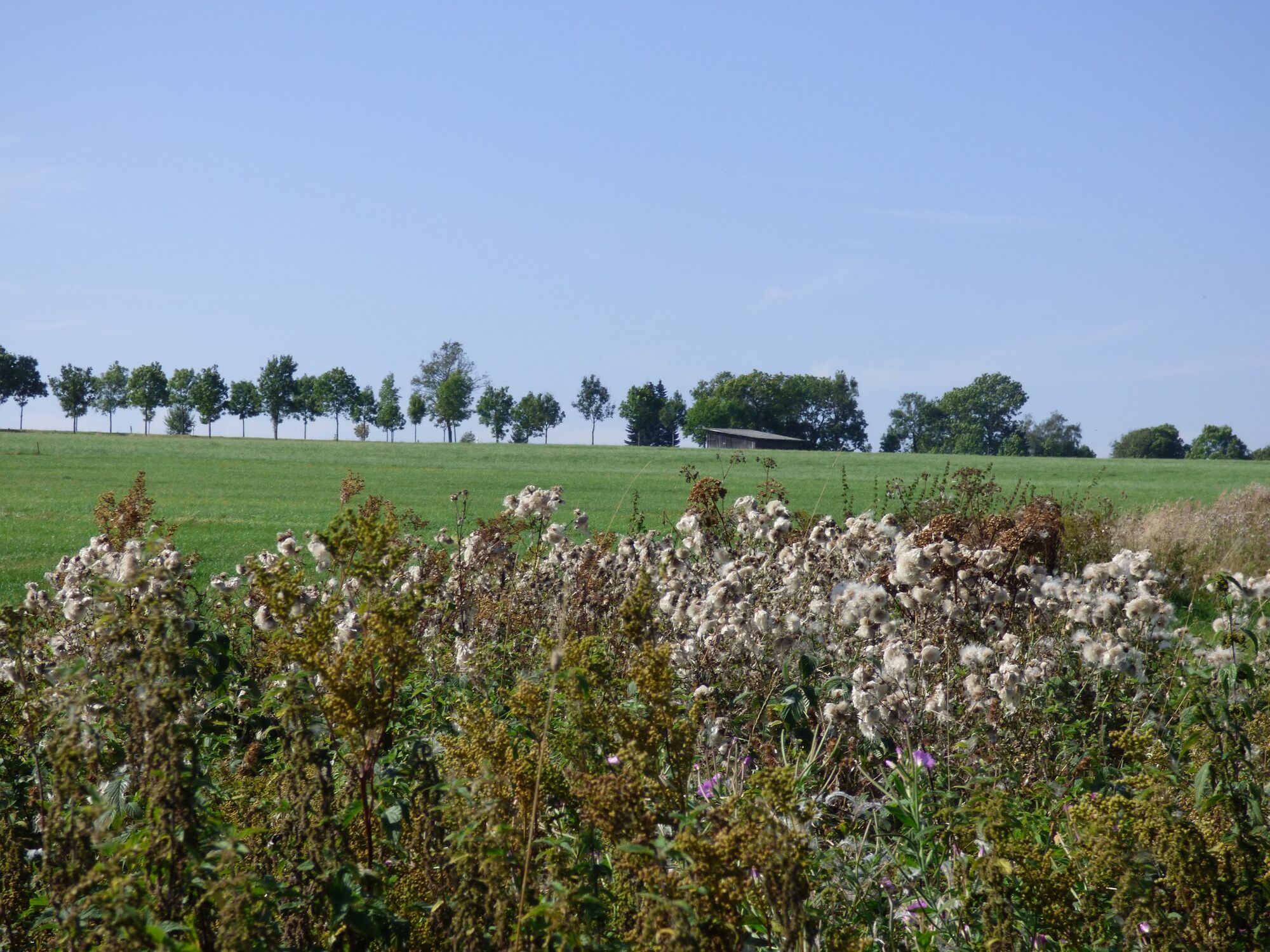
Promising, leisurely route over the plateau of the "Tanner Hute" near Theobaldshof without any significant inclines. Ideal for families and seniors.
- Directions
-
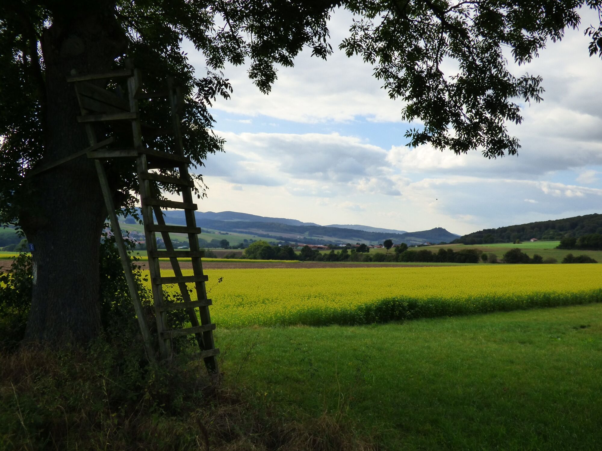
Starting from the hiking car park at the highest part of Tanner, Theobaldshof, heading south, you reach the hamlet of Dietgeshof through the "Wolfsgarten" forest area. A rest in the "Apfelweinstube" should definitely be planned here. From the restaurant's sun terrace, the view stretches far into the Ulster Valley with wonderful views of the Wasserkuppe and Milseburg. Freshly strengthened, we continue, following a section of the Premiumeanderweg "Hochrhöner" via the REuterweg and the "Tanner Hute" back to the starting point at the Theobaldshöfer church.
- Highest point
- 638 m
- Endpoint
-
Theobaldshof, hiking car park at the church
- Height profile
-
 © outdooractive.com
 - Equipment
-
Sturdy shoes
Rain gear
Sun protection in high temperatures
First aid kit
GPS navigator or map
Sufficient drink reserves and provisions
Camera to capture the beautiful views - Tips
-
You should definitely not miss a cool drink in the apple wine bar. In the cold season, you can warm up here with a hot apple mulled wine.
- Directions
-
On the A7 exit Fulda Mitte, continue left towards Fulda, then follow the signs to the right towards Hofbieber - Tann. Follow the signs from Tann in a north-easterly direction towards Theobaldshof. The hiking car park is located right in the center of the village next to the church.
- Public transportation
-
Theobaldshof
From the center of Tann (Rhön) you can take bus line 23 from the Rhönhalle bus stop to the Theobaldshof district. Please note that some connections are set up as dial-a-bus services, please let us know at least 60 minutes before departure.
Tann
In Tann (Rhön), there are four bus stops. The Rhönhalle bus stop is the most suitable. The LNG Fulda lines depart from here:
- Line 20: Tann - Hofbieber - Petersberg - Fulda
- Line 23: Hundsbach / Theobaldshof / Schlitzenhausen - Tann
- Line 24: Tann - Wendershausen - Lahrbach - Hilders
- Line 90 RhönRadBus: Gersfeld - Wasserkuppe - Hilders - Milseburgradweg - Fulda
Furthermore, following busline of the Wartburg region transport association, can be accessed via this busstop:
- Line 110: Eisenach - Vacha - Geisa - Tann
- Parking
- Author
-
The tour Rhön Rundweg 4 Tann - Rhön is used by outdooractive.com provided.


General info
-
Die Rhön / Thüringen
825
-
Hessisches Kegelspiel
278
-
Tann / Rhön
104