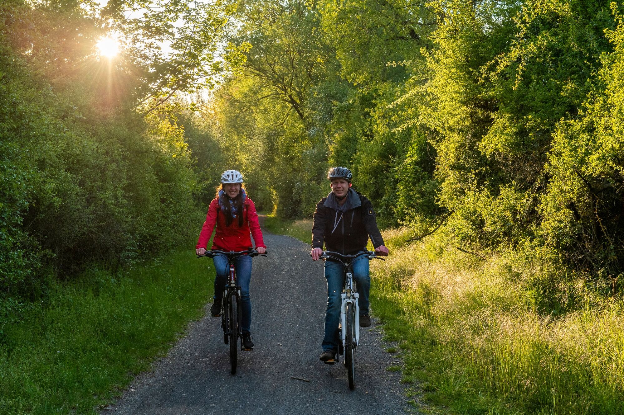
© Eder-Radweg - Kappest
- Brief description
-
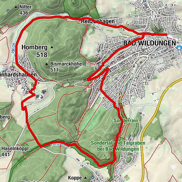
Vorbei an 16 Bad Wildunger Quellen
- Difficulty
-
medium
- Rating
-
- Route
-
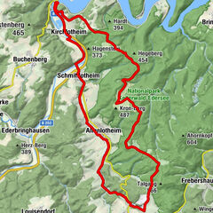
Bad Wildungen0.4 kmReitzenhagen1.8 kmBilstein1.9 kmReinhardshausen5.1 kmHelenental-Alm11.1 kmBad Wildungen15.5 km
- Best season
-
JanFebMarAprMayJunJulAugSepOctNovDec
- Highest point
- 394 m
- Endpoint
-
Königsquellenpark Bad Wildungen
- Height profile
-
 © outdooractive.com
-

-
AuthorThe tour Quellenrundweg - Bad Wildungen-Reitzenhagen-Reinhardshausen is used by outdooractive.com provided.
GPS Downloads


General info
Refreshment stop
Cultural/Historical
Flora
Other tours in the regions