

© © ADRT80_DM

© © ADRT80_DM

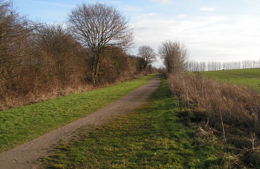
© Les Mazures

- Difficulty
-
easy
- Rating
-
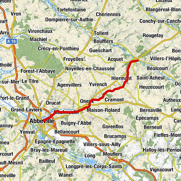
- Route
-
Abbeville0.2 kmCaours4.1 kmNeufmoulin5.7 kmDrugy7.4 kmConteville20.2 kmBernâtre23.2 km
- Highest point
- 130 m
- Endpoint
-
BERNATRE
- Height profile
-
 © outdooractive.com


- Author
-
The tour La traverse du Ponthieu is used by outdooractive.com provided.

