
- Brief description
-
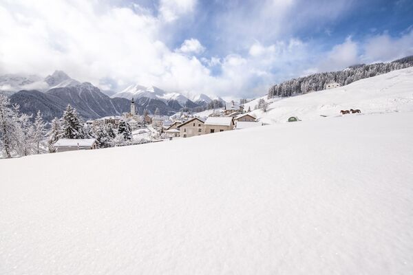
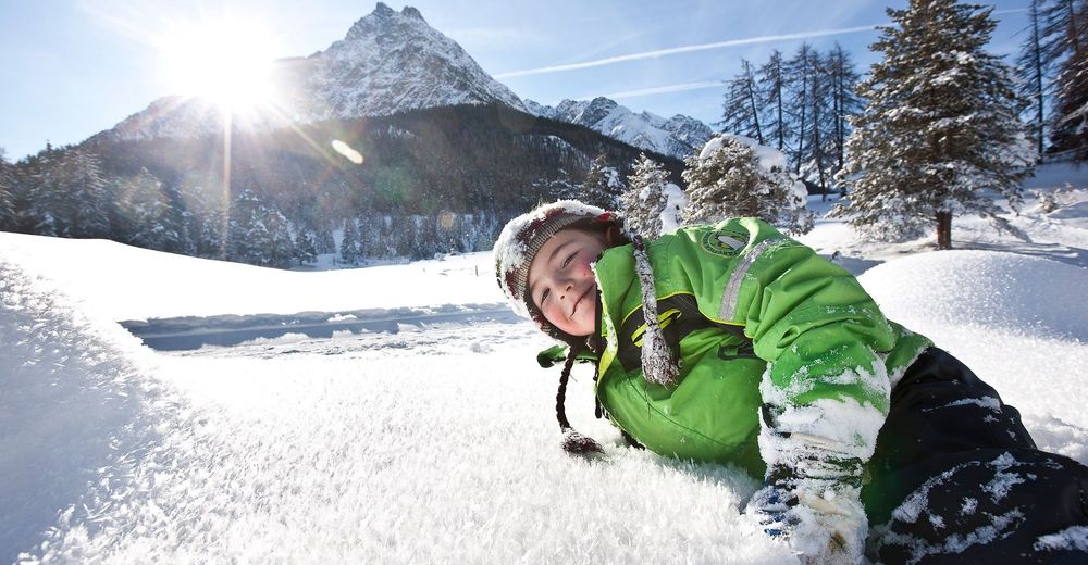
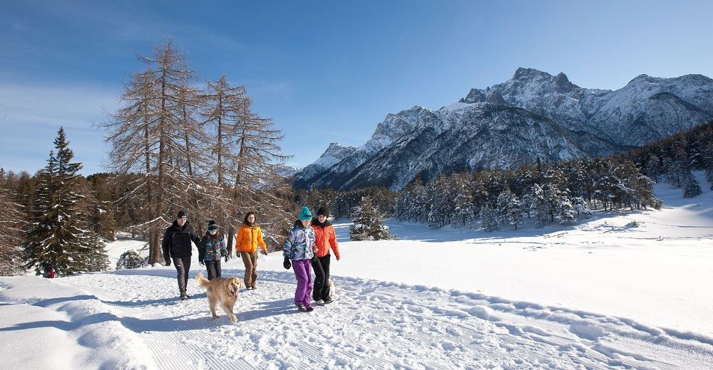
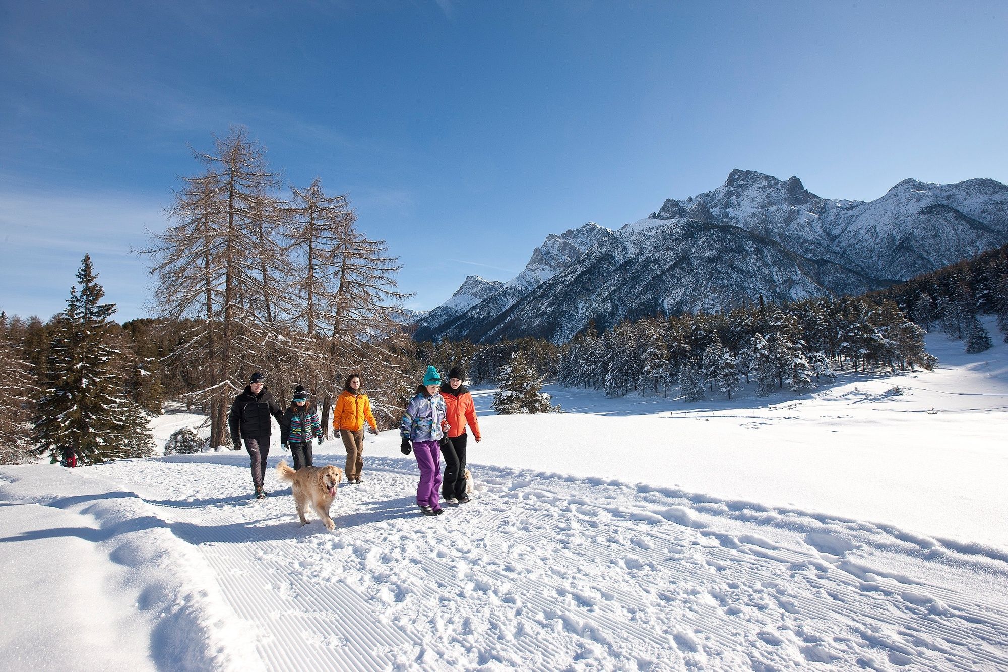
During a snowy winter "Runda da Tschern" is a paradise. The silence of nature is the perfect way to relax from stressful everyday life.
- Difficulty
-
easy
- Rating
-
- Starting point
-
PostBus Stop «Sent, Plaz»
- Route
-
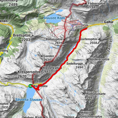
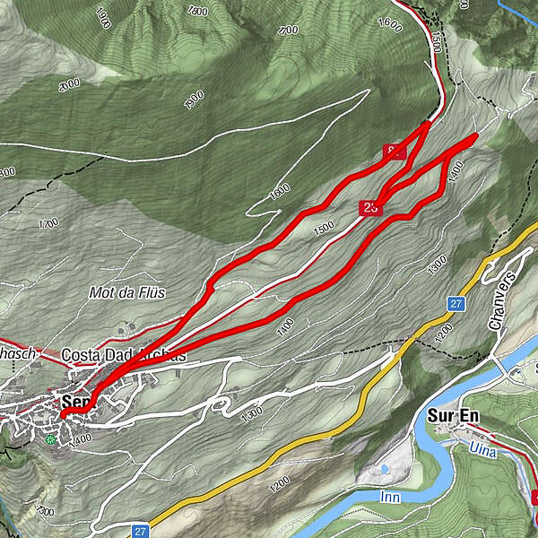
Sins (1,440 m)0.0 kmTuols0.3 kmCosta Dad Archas0.4 kmBös-ch Grond5.3 kmCosta Dad Archas5.4 kmTuols5.8 kmSins (1,440 m)6.1 km
- Best season
-
AugSepOctNovDecJanFebMarAprMayJunJul
- Description
-
From the PostBus stop Sent Plaz, the route leads toward Sinestra to the last houses of Sent. At the end of the village, turn right onto the natural road and follow it. The road is level at the beginning. Shortly before the forest begins, you reach a big fir tree. A second alpine road leads towards Sent. The path now continues upwards. After the ascent, you once again reach the road to Sinestra. You follow the road in this direction for about 300 metres until you reach the edge of the forest. Here you turn left onto the road toward Sent (west). Soon the church tower of Sent comes into view again. Follow the road back to Sent.
- Directions
-
From the PostBus stop Sent Plaz head east to the end of the village.
Turn right onto the natural road
Before the forest, turn off onto the road to Sent
Climb up to the next road
Follow the road to Sinestra for approx. 300m
After the forest turn left onto the road to the west
Follow the road back to Sent
- Highest point
- 1,545 m
- Endpoint
-
PostBus Stop «Sent, Plaz»
- Height profile
-
 © outdooractive.com
 - Equipment
-
High and sturdy hiking boots or winter boots, warm clothing, sun cream, sunglasses, sunscreen, hiking poles.
- Safety instructions
-
The trail is groomed after each snowfall. Please note the condition reports in the winter sports report. The tour was assessed in favourable weather conditions, current snow and weather conditions must be noted before starting.
Emergency call:
144 Emergency call, first aid
1414 Mountain rescue REGA
112 International emergency call
- Directions
-
- From the north: via Landquart - Klosters by car transport through the Vereina Tunnel (Selfranga - Sagliains) or via the Flüela Pass into the Lower Engadine on H27, as far as Sent.
- From the east: via Landeck / Austria in the direction of Reschenpass, after Martina on the H27 to Crusch and then up to Sent
- From the south: via Reschenpass to Martina, then towards St. Moritz on the H27 to Crusch and then up to Sent.
- Public transportation
-
- By Rhaetian Railway (from Chur, Landquart/Prättigau or from the Upper Engadine) hourly to Scuol-Tarasp station.
- Continue by PostBus to the PostBus stop Sent, Plaz
- Parking
-
- Paid parking at the entrance to the village in the underground car park.

- Author
-
The tour Sent - Plan da Porchs (round tour) is used by outdooractive.com provided.


General info
-
Vinschgau
54
-
Engadin Scuol Zernez
109
-
Sent
34