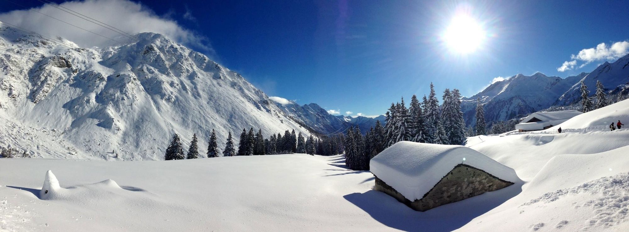
© Ente Turistico Regionale del Moesano San Bernardino, Mesolcina, Calanca - Christian Vigne
© Ente Turistico Regionale del Moesano - Christian Vigne

© Ente Turistico Regionale del Moesano San Bernardino, Mesolcina, Calanca - Christian Vigne

© Ente Turistico Regionale del Moesano San Bernardino, Mesolcina, Calanca - Christian Vigne
Tour data
5.94km
1,605
- 1,776m
159hm
147hm
01:42h
- Brief description
-
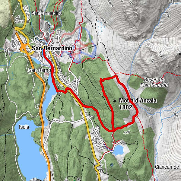
Dal villaggio ci si dirige verso il lago Doss. Da qui si sale verso l'Alpe Piandoss, percorrendo la "valle del Silenzio" per poi rientrare nel percorso che riporta verso il villaggio di San Bernardino.
- Difficulty
-
medium
- Rating
-
- Route
-
San Bernardino (1,626 m)Pian Doss2.2 kmSan Bernardino (1,626 m)5.9 km
- Best season
-
AugSepOctNovDecJanFebMarAprMayJunJul
- Highest point
- 1,776 m
- Endpoint
-
Parcheggi Moesa (dietro supermercato Denner)
- Height profile
-
 © outdooractive.com


-

-
AuthorThe tour Mota d'Anzala - itinerario invernale (#4) is used by outdooractive.com provided.
GPS Downloads


General info
Refreshment stop
Fauna
A lot of view
Other tours in the regions


")