Tschierv Biosfera - Lü - Craistas - Fuldera Furom Cross-country Centre


- Brief description
-
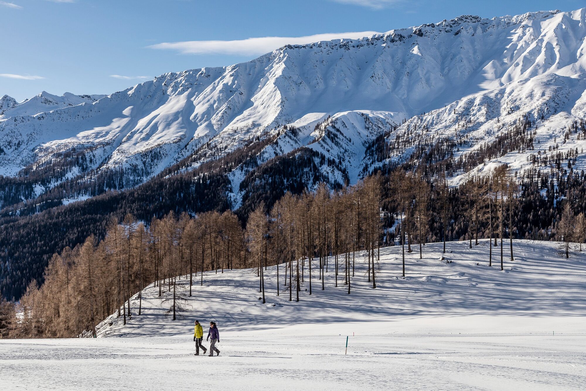
High trail with a magnificent panorama between Lü and Craistas, ending at the Fuldera Furom cross-country skiing centre.
- Difficulty
-
medium
- Rating
-
- Starting point
-
PostBus stop Tschierv, Orasom
- Route
-
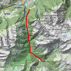
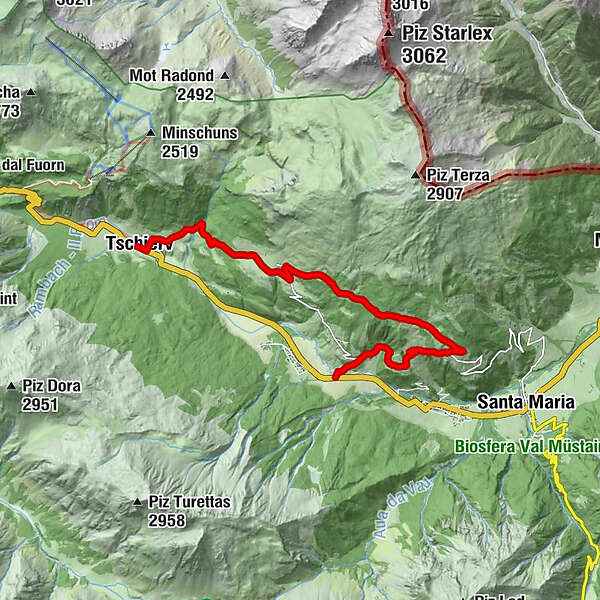
Cierfs (1,660 m)0.0 kmReformierte Kirche3.7 kmLü (1,920 m)3.7 kmUrschai5.1 kmCraistas7.5 kmValpaschun8.7 kmFurom10.8 km
- Best season
-
AugSepOctNovDecJanFebMarAprMayJunJul
- Description
-
From Tschierv, the trail leads steadily uphill for about 45 minutes to Lü. There is also the option of taking the post bus to Lü and only getting on there. From Lü, the tour continues in the direction of Müstair, accompanied by a beautiful panoramic view until before Craistas. In Craistas follows the descent to the valley floor to the PostBus stop Fuldera, Furom.
- Directions
-
From Tschierv ascent to Lü
Continue in the direction of Müstair
In Craistas descent to Fuldera
- Highest point
- 2,048 m
- Endpoint
-
PostBus stop Fuldera, Furom
- Height profile
-
 © outdooractive.com
 - Equipment
-
High and sturdy walking shoes or winter boots, warm clothing, sun protection, walking sticks.
- Safety instructions
-
Please note the condition reports under the telephone number 081 861 88 49. The tour was assessed in favourable weather conditions, the current snow and weather conditions must be noted before the start.
Attention: the trail leads through game rest zones, please do not leave forest paths.
Emergency call:
144 Emergency call, first aid
1414 Mountain rescue REGA
112 International emergency call
- Additional information
- Directions
-
- From the north: via Landquart - Klosters by car transport through the Vereina tunnel (Selfranga - Sagliains) or via the Flüela Pass to Zernez on the H27. From Zernez on the H28 into Val Müstair as far as Tschierv (40 minutes from Vereina south portal).
- From the east: via Reschenpass (Nauders) on the SS40 to Mals. From Mals on the SS41 to the Swiss border in Müstair. From Müstair on the H28 to Tschierv.
- From the south: Via Bolzano and Merano on the SS40 to Malles. From Mals on the SS41 to the Swiss border in Müstair. From Müstair on the H28 to Tschierv.
- Public transportation
-
- By Rhaetian Railway (from Chur, Landquart/Prättigau or Upper Engadine) hourly to Zernez.
- By PostBus from Zernez to Tschierv, Orasom every two hours
- Parking
-
- Free parking at the guest information in Tschierv
- Author
-
The tour Tschierv Biosfera - Lü - Craistas - Fuldera Furom Cross-country Centre is used by outdooractive.com provided.


General info
-
Vinschgau
54
-
Biosfera Val Müstair
57
-
Fuldera
16