
- Brief description
-
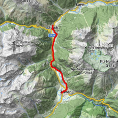
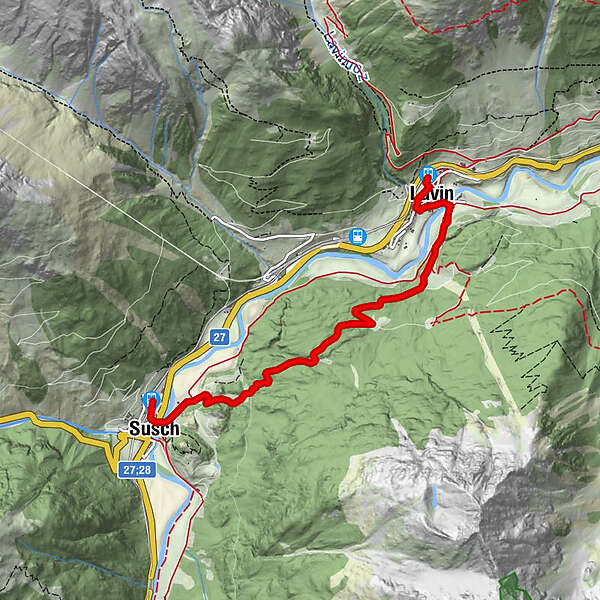
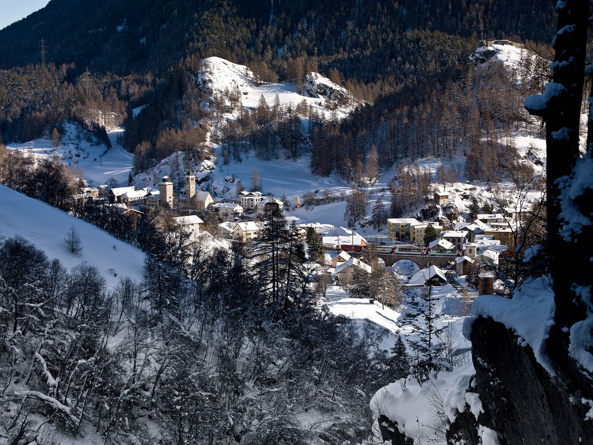
Easy and quiet winter hike between the two Lower Engadine villages of Susch and Lavin.
- Difficulty
-
medium
- Rating
-
- Starting point
-
Susch train station
- Route
-
Susch (1,435 m)Susch (1,438 m)0.2 kmHatecke Ustaria Muzeum Susch0.3 kmReformierte Kirche0.4 kmLavin (1,412 m)4.5 kmLavin (1,432 m)5.0 km
- Best season
-
AugSepOctNovDecJanFebMarAprMayJunJul
- Description
-
From Susch railway station, the trail leads down to the village centre and over the bridge into the beautiful district of Sur Punt. At the eastern exit of the village, the easy ascent begins, which leads into the forest after a short while. At the Prasüras clearing, the highest point of the hike has already been reached. The wide winter hiking trail leads down through the snow-covered forest again until it changes to open terrain shortly before Lavin. At Lavin, the trail crosses the Inn again and reaches the railway station of Lavin through the centre of the village.
- Directions
-
From Susch railway station down through the village
Over the bridge to Sur Punt
Follow the hiking trail towards Lavin
At Lavin cross the Inn over the wooden bridge
Through the village up to the railway station - Highest point
- 1,575 m
- Endpoint
-
Lavin train station
- Height profile
-
 © outdooractive.com
 - Equipment
-
High and sturdy hiking boots or winter boots, warm clothing, sun cream, sunglasses, sunscreen, hiking poles.
- Safety instructions
-
The trail is groomed after each snowfall. Please note the condition reports in the winter sports report. The tour was assessed in favourable weather conditions, current snow and weather conditions must be noted before starting.
Emergency call:
144 Emergency call, first aid
1414 Mountain rescue REGA
112 International emergency call
- Tips
-
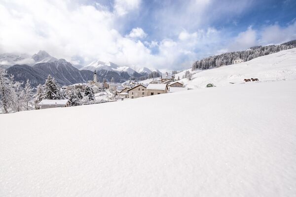
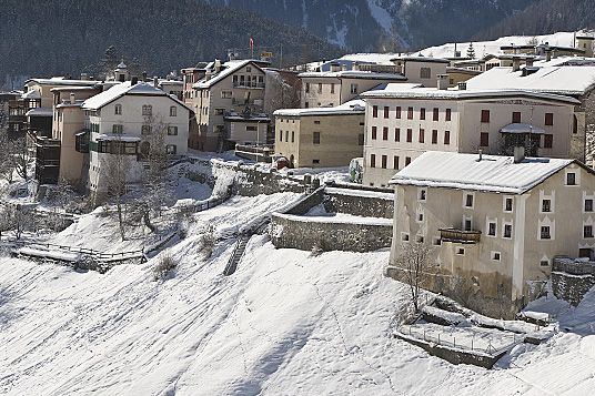
The tower «La Tuor» and the church characterise the village of Susch. A visit to the «Rohan» fortress is particularly recommended.
- Additional information
- Directions
-
- From the north: via Landquart – Klosters by car transport through the Vereina Tunnel (Selfranga – Sagliains) or via the Flüela Pass into the Lower Engadine on H27
- From the east: via Landeck / Austria in the direction of St. Moritz on H27From the south: via Reschenpass (Nauders-Martina) or Ofenpass (Val Müstair-Zernez) on H27
- Susch is located directly on the Flüela Pass and on the Engadine road H27 (5 minutes' drive from Vereina south portal).
- Public transportation
-
- With the Rhaetian Railway (from Chur, Landquart/Prättigau, from the Upper Engadine or from Scuol) hourly to Susch station
- Parking
-
- Paid parking at the train station in Susch
- Author
-
The tour Susch – Prasüra – Lavin is used by outdooractive.com provided.

General info
-
Engadin Scuol Zernez
109
-
Lavin
21