
- Brief description
-
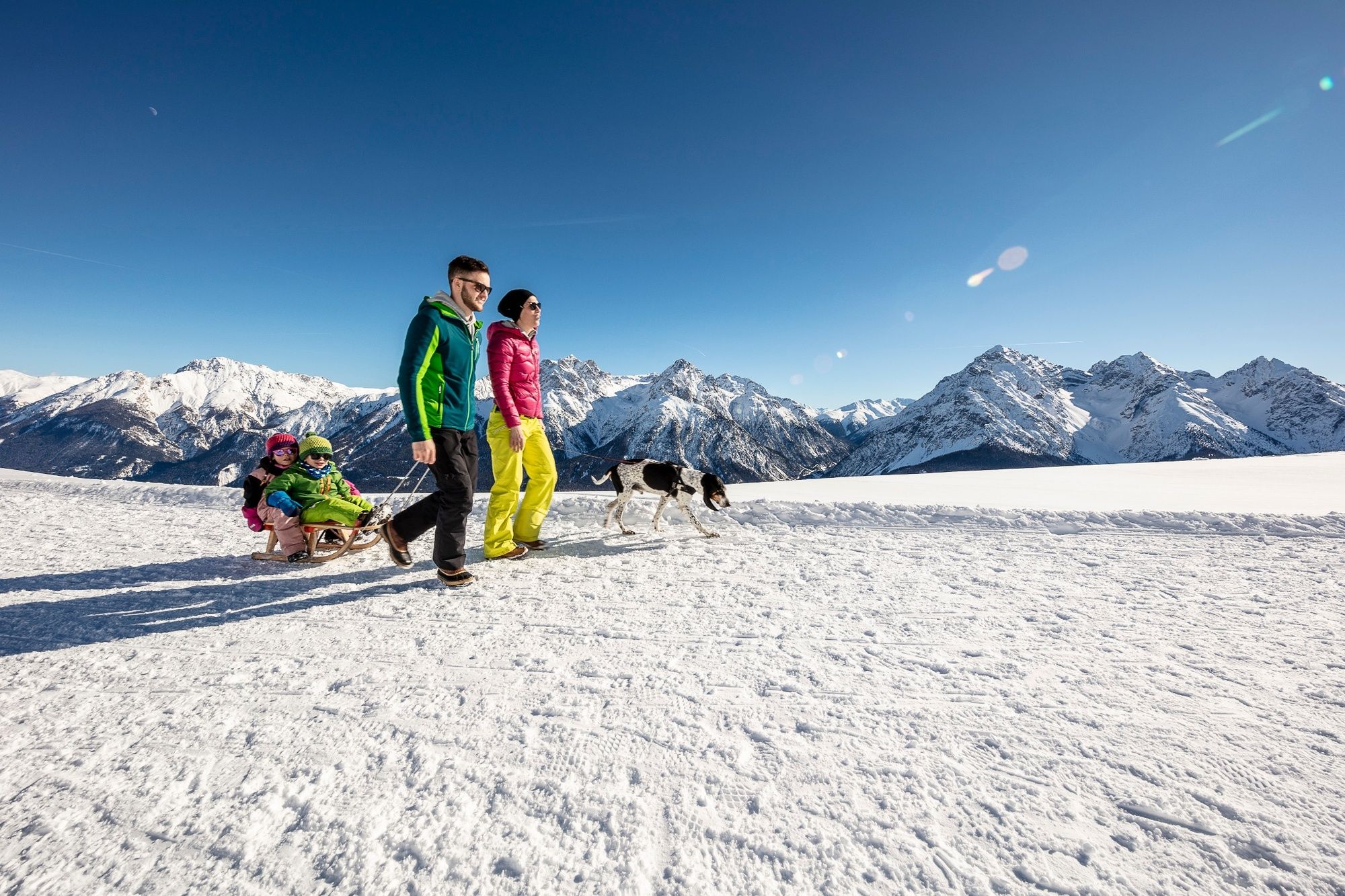
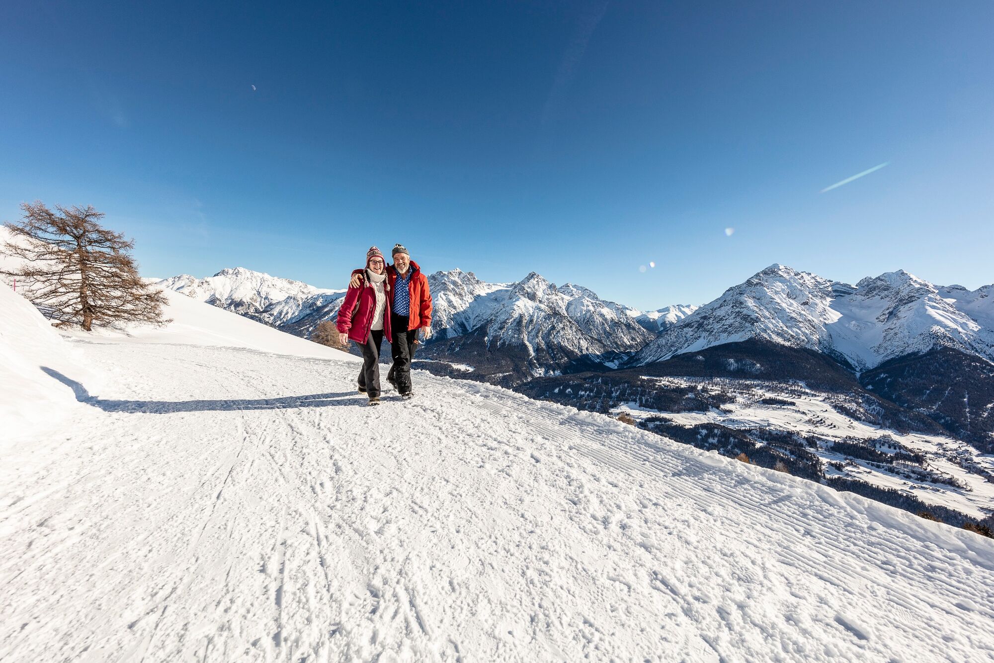
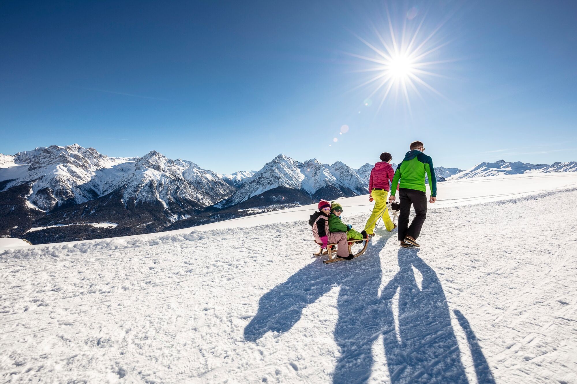
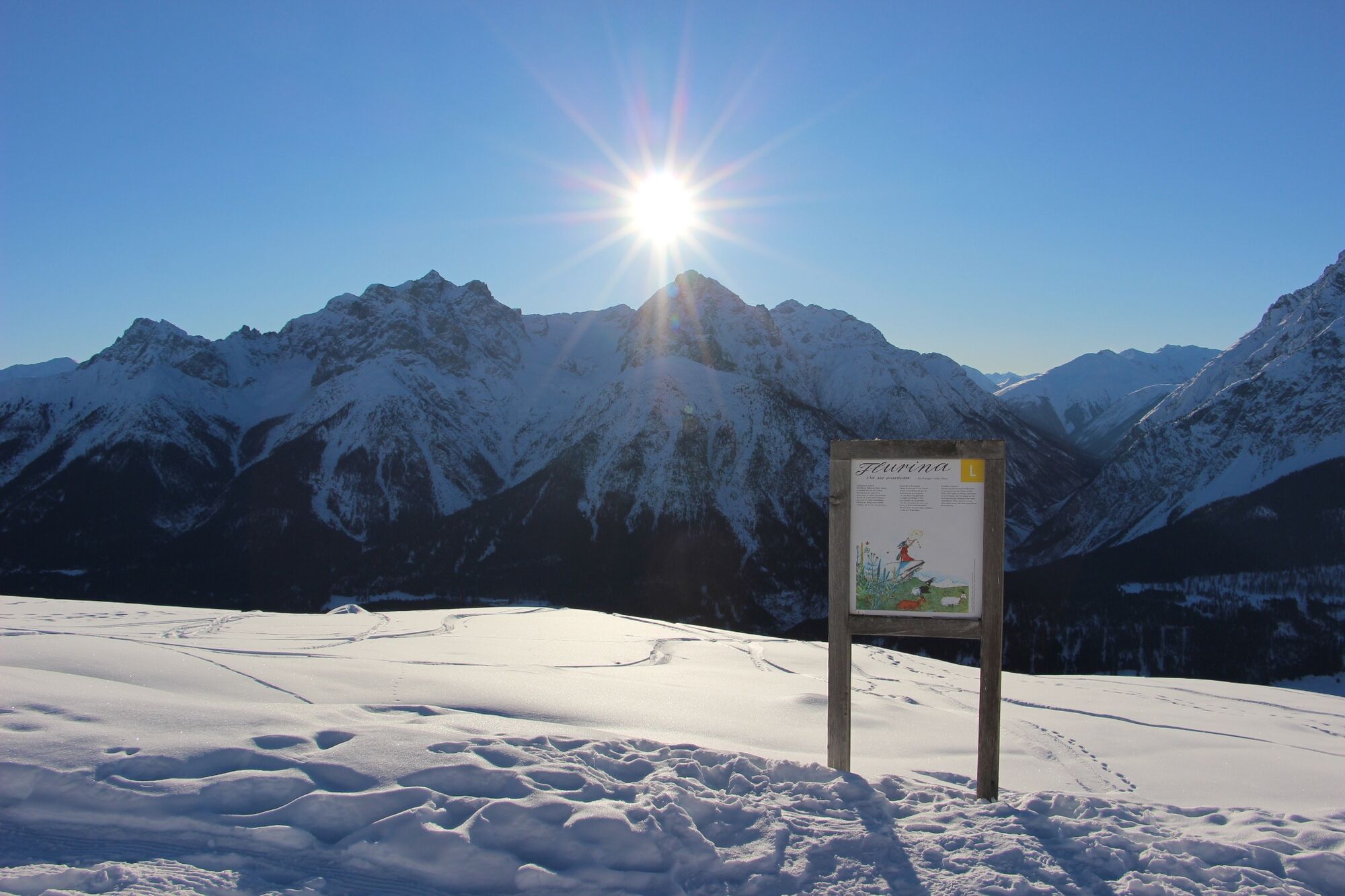
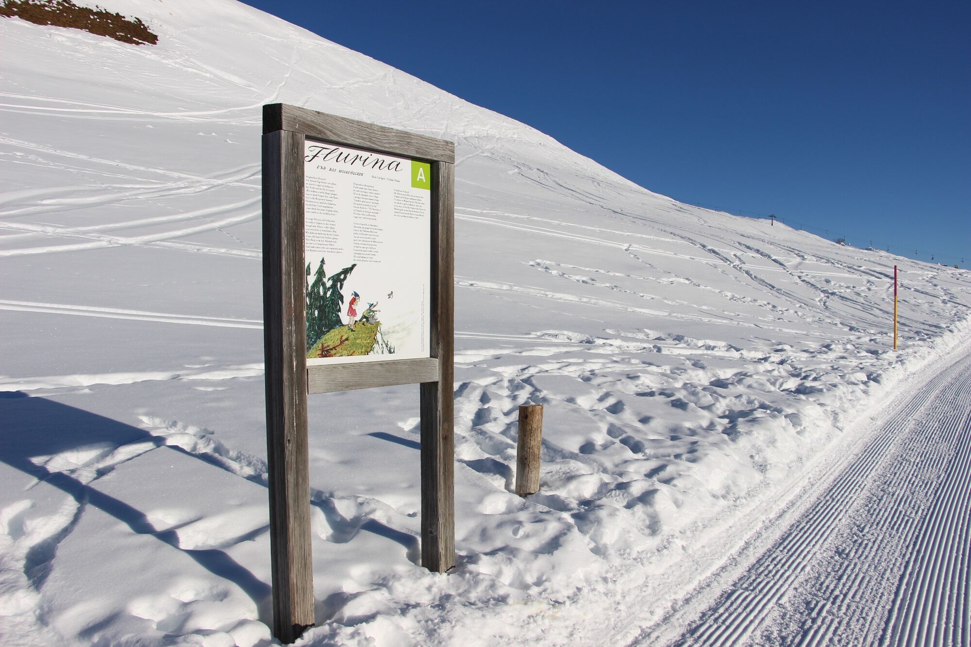
Easy-to-walk panoramic trail for the whole family with views of the surrounding mountains. On the same route is the family-friendly Flurina Trail.
- Difficulty
-
easy
- Rating
-
- Starting point
-
Restaurant Prui and mountain station chairlift Ftan-Prui
- Route
-
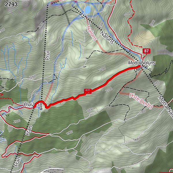
Prümaran Prui0.0 kmMotta Naluns1.7 km
- Best season
-
AugSepOctNovDecJanFebMarAprMayJunJul
- Description
-
From the Prui mountain station, the trail leads first slightly uphill and then slightly downhill to the Motta Naluns mountain station. On the approximately 2 km short route at over 2,000 m above sea level on the sunny slope of the Lower Engadine, there are wonderful views of the valley all the way to the Tyrolean mountains in the east. At the end of the hike, the mountain restaurant «La Motta» with its sun terrace invites you to linger. There you will also find the gondola ban down to Scuol.
- Directions
-
From the Prui mountain station to the east in the direction of the Motta Naluns mountain station
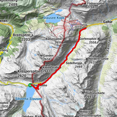
- Highest point
- 2,159 m
- Endpoint
-
Restaurant «La Motta» and mountain station Motta Naluns
- Height profile
-
 © outdooractive.com
 - Equipment
-
High and sturdy hiking boots or winter boots, warm clothing, sun cream, sunglasses, sunscreen, hiking poles
- Safety instructions
-
The trail is groomed after each snowfall. Please note the condition reports in the winter sports report. The tour was assessed in favourable weather conditions, current snow and weather conditions must be noted before starting.
Emergency call:
144 Emergency call, first aid
1414 Mountain rescue REGA
112 International emergency call
- Tips
-
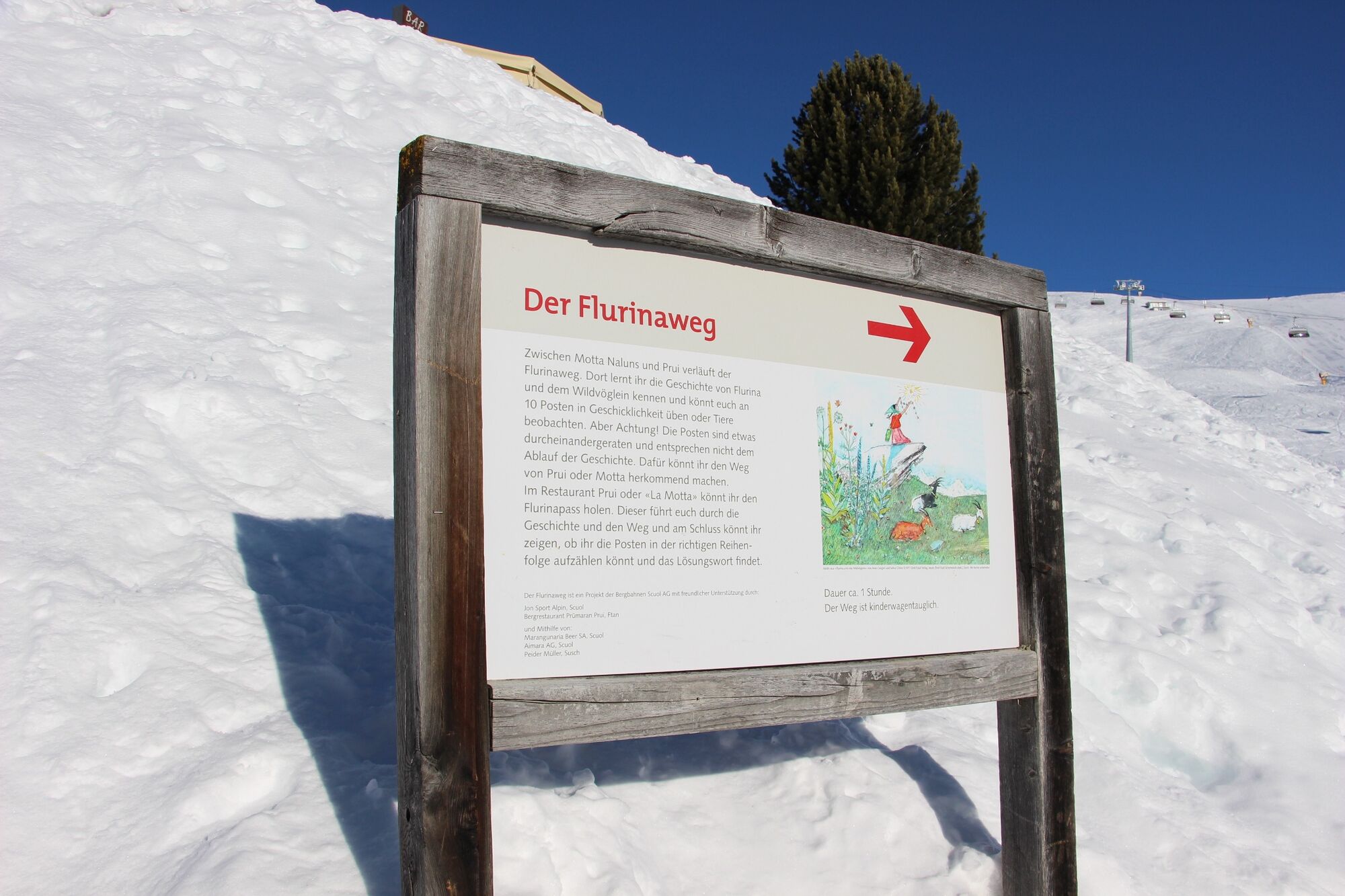
Walk the Flurina Trail at the same time and experience history.
- Additional information
- Directions
-
-
From the north: via Landquart - Klosters by car transport through the Vereina Tunnel (Selfranga - Sagliains) or via the Flüela Pass into the Lower Engadine on H27
-
From the east: via Landeck / Austria in the direction of St. Moritz on H27
-
From the south: via Reschenpass (Nauders-Martina) or Ofenpass (Val Müstair-Zernez) on H27
-
Ftan is situated on a sunny terrace and can be reached in ten minutes by car from the Engadine road H27 from Ardez or Scuol
-
- Public transportation
-
-
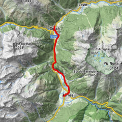
By Rhaetian Railway (from Chur, Prättigau or Oberengadin) hourly to Scuol-Tarasp, direct PostBus connection to Ftan, cumün
-
By PostBus (from Tarasp or Martina) hourly to Scuol-Tarasp, direct PostBus connection to Ftan, cumün
-
With the chairlift Ftan-Prui to the mountain station Prui
-
- Parking
-
- Paid parking at the valley station of the Ftan-Prui chairlift
- Author
-
The tour Flurina Trail / Panorama Trail, Prui - Motta Naluns is used by outdooractive.com provided.


General info
-
Engadin Scuol Zernez
109
-
Ftan
36