


- Brief description
-
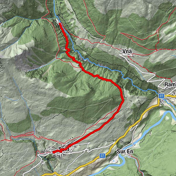
Winter hike suitable for prams along a wide road. First through open terrain, then through the forest into the Val Sinestra to the Hotel Val Sinestra.
- Difficulty
-
medium
- Rating
-
- Starting point
-
PostBus stop Sent, Plaz
- Route
-
Da Salvatore0.0 kmRestorant Fontana0.2 kmSins (1,440 m)0.3 kmTuols0.7 kmCosta Dad Archas0.8 kmVal Sinestra (1,522 m)6.5 kmTuols12.1 kmCosta Dad Archas12.1 kmSins (1,440 m)12.5 kmRestorant Fontana12.8 kmDa Salvatore12.9 km
- Best season
-
AugSepOctNovDecJanFebMarAprMayJunJul
- Description
-
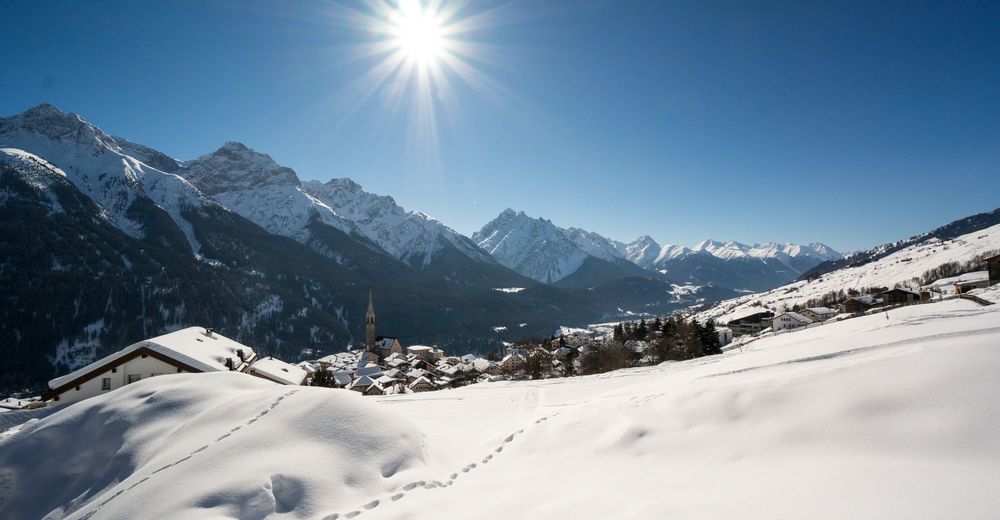
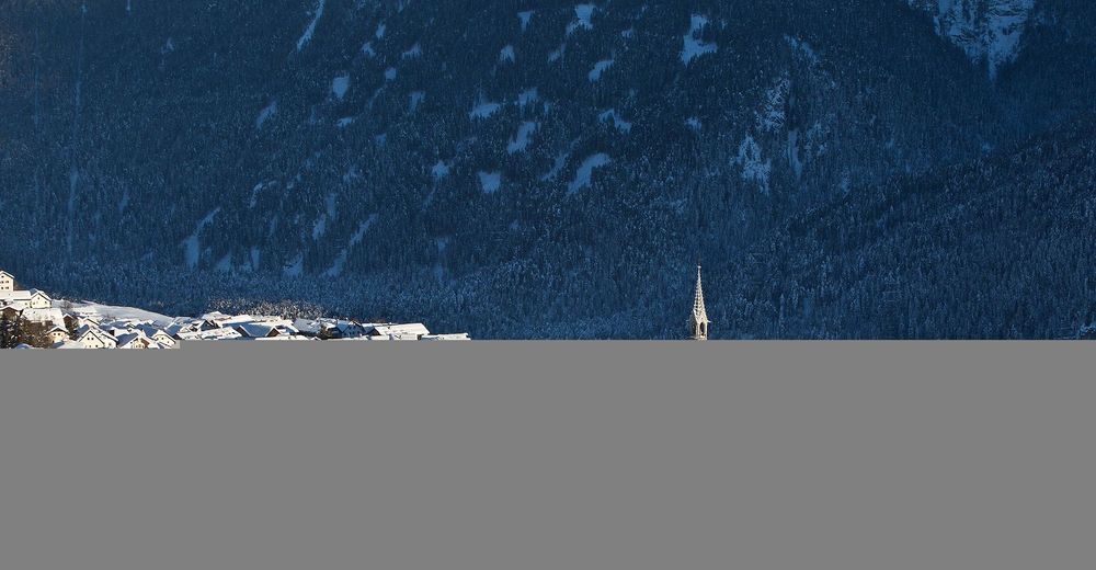
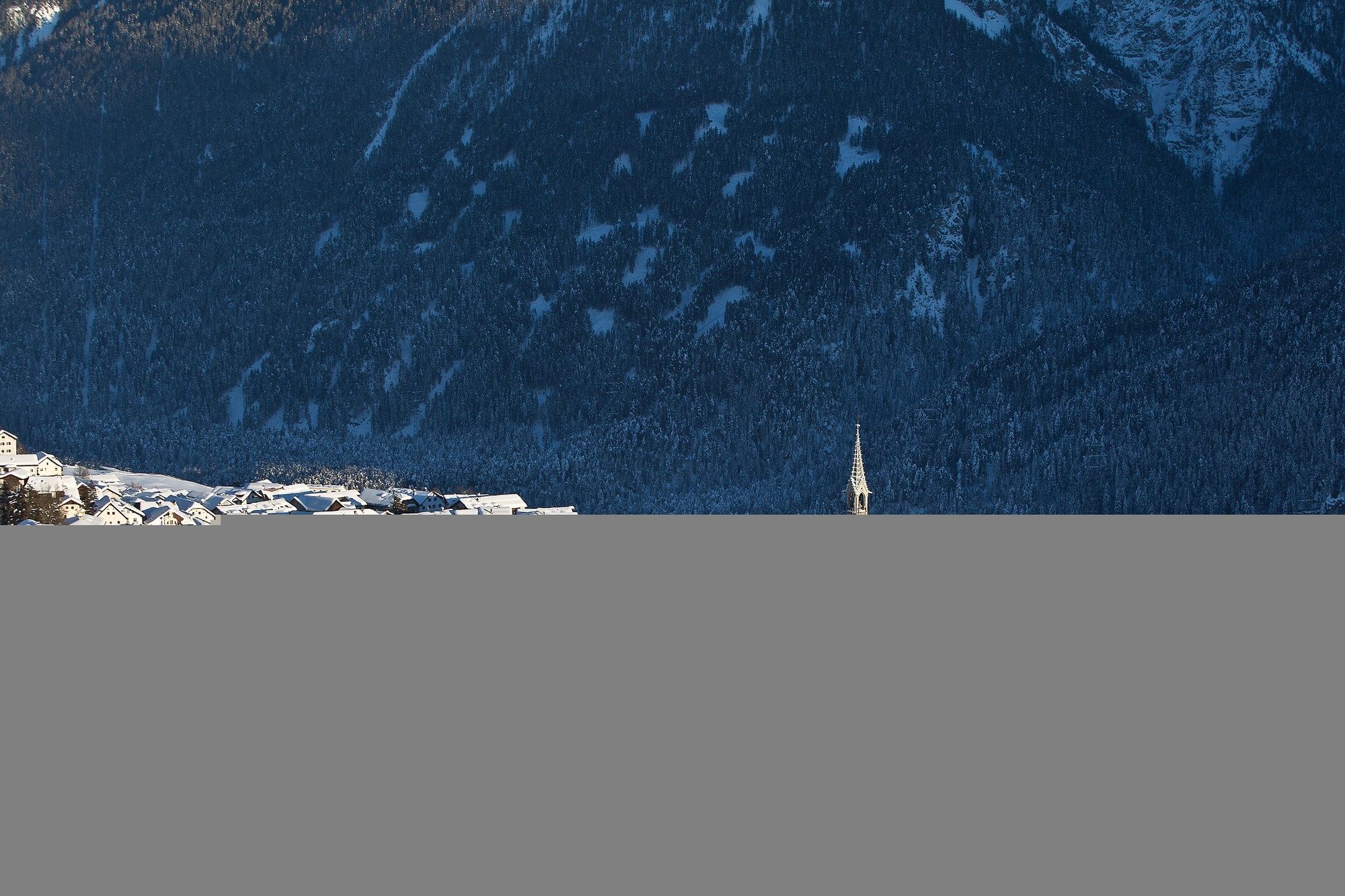
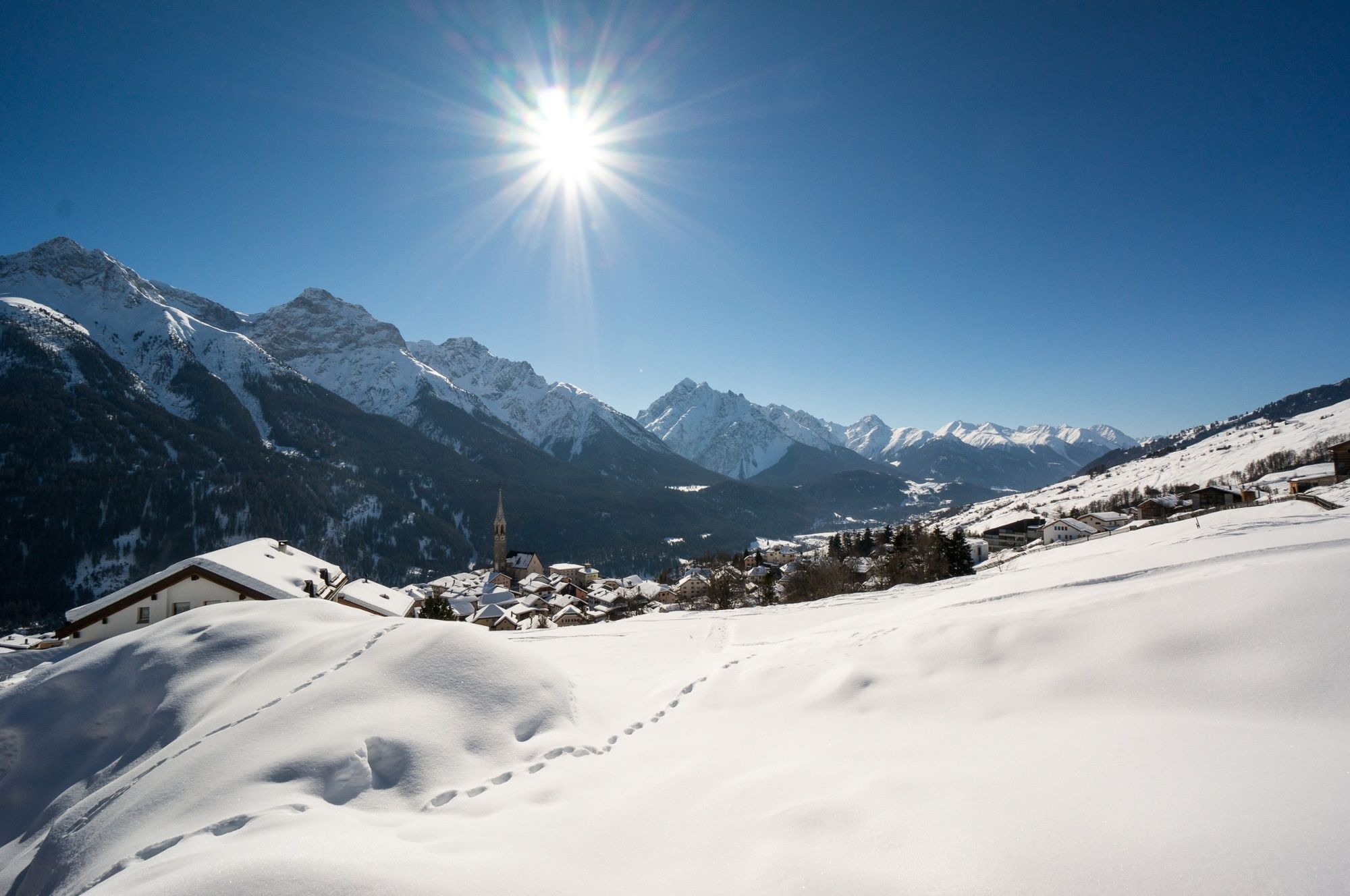
The tour begins on a slightly ascending road from Sent (1,440 m above sea level). The trail first leads eastwards along an avenue of trees. From the PostBus stop at Sent, Tschern (service is suspended in winter; beware, the trail is closed from here in case of avalanche danger), the trail leads relatively flat but with a few bends along the road through the forest to the Hotel Val Sinestra. The former spa hotel is nestled in the steep slopes of the valley, where the Brancla river has eaten deep into the earth's surface over centuries. A look inside the hotel is worthwhile, as the whole building still presents itself in the architectural style of the early 20th century. A little below the former spa house, directly on the river, is the associated mountain inn. Take the same route back to Sent (there is a half-hourly connection from Sent back to Scuol). There are various trail options in Sent from the end of the dream run.
- Directions
-
From the PostBus stop, head east to the village exit
Follow the road along an avenue of trees
From the PostBus stop Sent, Tschern, follow the road in the direction of Sinestra
Same way back as outward - Highest point
- 1,563 m
- Endpoint
-
PostBus stop Sent, Plaz
- Height profile
-
 © outdooractive.com
 - Equipment
-
High and sturdy hiking boots or winter boots, warm clothing, sun cream, sunglasses, sunscreen, hiking poles.
- Safety instructions
-
The trail is groomed after each snowfall. Please note the condition reports in the winter sports report. The tour was assessed in favourable weather conditions, the current snow and weather conditions must be observed before starting.
Attention:
The trail leads through wildlife rest areas, please do not leave forest trails From the PostBus stop Sent Tschern (forest entrance) there is a barrier that closes the winter hiking trail in case of avalanche danger. Do not enter the path under any circumstances when the barrier is closedEmergency call:
144 Emergency call, first aid
1414 Mountain rescue REGA
112 International emergency call
- Tips
-
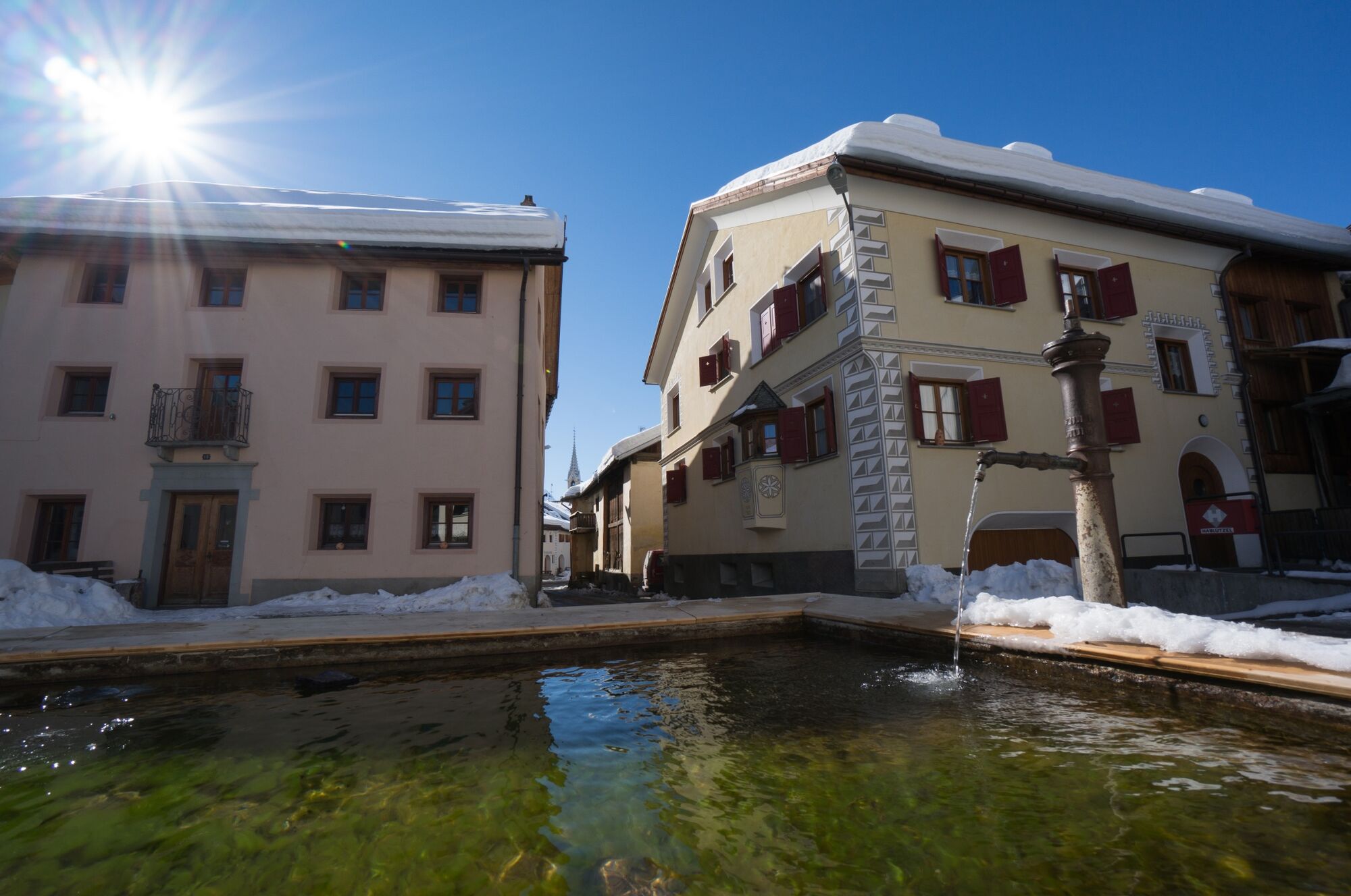
In Sent, it is worth taking a few minutes to stroll through the village with its inviting squares and look up towards the sky.
- Additional information
- Directions
-
- From the north: via Landquart - Klosters by car transport through the Vereina Tunnel (Selfranga - Sagliains) or via the Flüela Pass into the Lower Engadine on H27.
- From the east: via Landeck / Austria in the direction of St. Moritz on H27
- From the south: via Reschenpass (Nauders-Martina) or Ofenpass (Val Müstair-Zernez) on H27
Sent can be reached from the Engadine road H27 from Scuol or Crusch in 5 minutes by car.
- Public transportation
-
- By Rhaetian Railway (from Chur, Landquart/Prättigau or from the Upper Engadine) hourly to Scuol-Tarasp station
- Continue by PostBus to the PostBus stop Sent, Plaz
- Parking
-
- Paid parking on the eastern (below the cemetery) and western edge of Sent (multi-storey car park).
- Author
-
The tour Sent – Val Sinestra (Return Route) is used by outdooractive.com provided.


General info
-
Vinschgau
54
-
Engadin Scuol Zernez
109
-
Sent
34


