
- Brief description
-
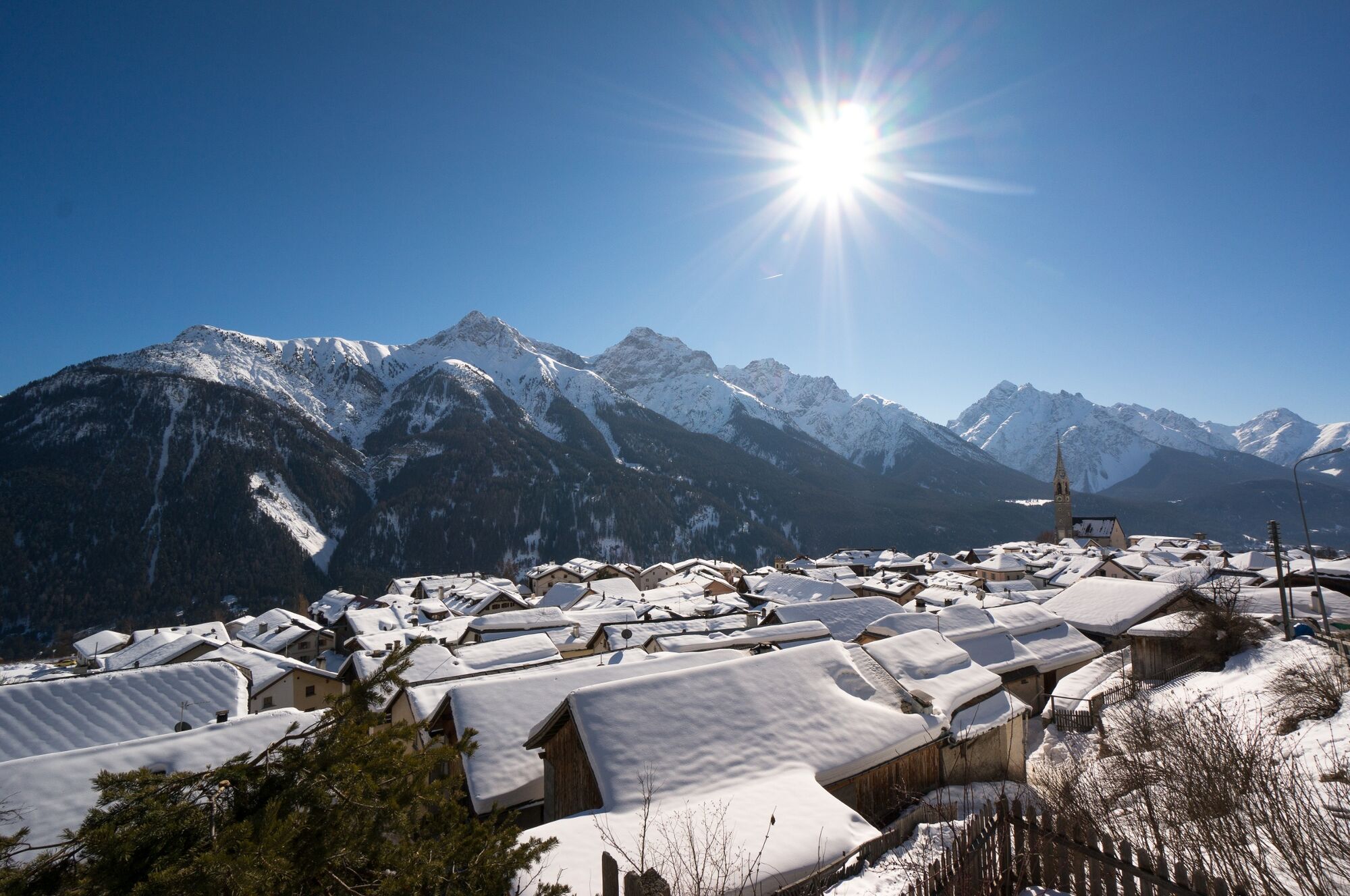
Leisurely and easy hike on a mostly wide road along the sunny southern slope with a view of the snow-covered mountain peaks of the Sesvenna and Pisoc groups on the opposite side of the valley. Benches along the way invite you to take a short rest and enjoy the view.
- Difficulty
-
easy
- Rating
-
- Starting point
-
PostBus stop Sent, Sala
- Route
-
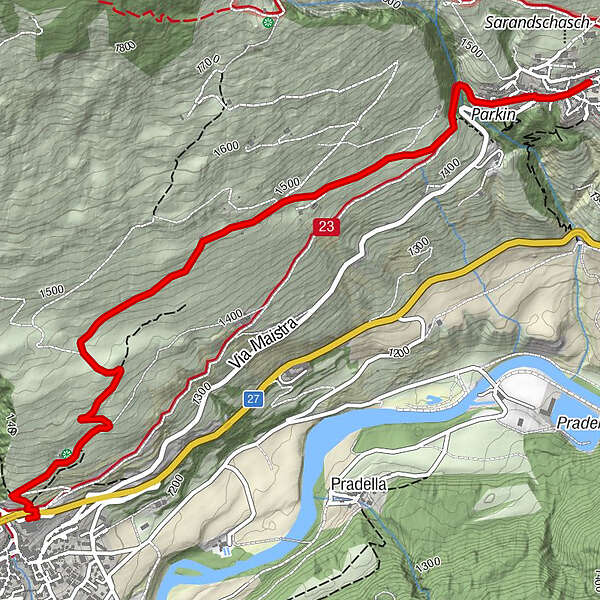
Sins (1,440 m)Da Salvatore0.1 kmDavo Stron0.5 kmScuol (1,250 m)4.2 km
- Best season
-
AugSepOctNovDecJanFebMarAprMayJunJul
- Description
-
From the PostBus stop, the trail leads to the western exit of Sent village. After crossing a small bridge, the well-prepared road climbs slightly. As the first section of the trail is on the toboggan run, be careful of oncoming toboggans. Always slightly ascending, the winter hiking trail leads over open terrain with views of the snow-covered mountains on the opposite side of the valley and over the Lower Engadine. Benches invite you to take a break with a view. Passing the Bain Tuffarolas farm, the path continues along the sun, always slightly uphill, past three holiday homes over a large plain with a view to the southwest of the Lower Engadine Dolomites. From here the trail to Scuol descends steadily via Pazos. Shortly before Scuol, snow-covered trees line the winter hiking trail and round off the hike through sunlit winter scenery. From the Scuol Ospidal PostBus stop, the sports bus (free of charge) takes you back to the Scuol-Tarasp railway station.
- Directions
-
From the PostBus stop to the western exit of the village
Cross the river over the bridge
Continue on the road
Climb on the toboggan run
Pass the farm Bain Tuffarolas
Pass three holiday homes
Descend via Pazos to Scuol - Highest point
- 1,511 m
- Endpoint
-
PostBus stop Scuol, Ospidal
- Height profile
-
 © outdooractive.com
 - Equipment
-
High and sturdy hiking boots or winter boots, warm clothing, sun cream, sunglasses, sunscreen, hiking poles.
- Safety instructions
-
The trail is groomed after each snowfall. Please note the condition reports in the winter sports report. The tour was assessed in favourable weather conditions, the current snow and weather conditions must be observed before starting.
Attention: the trail runs on the sledding trail at the beginning - please walk on the edge of the trail.
Emergency call:
144 Emergency call, first aid
1414 Mountain rescue REGA
112 International emergency call
- Tips
-
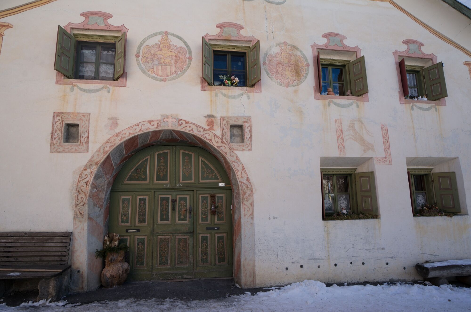
Sent, with its church spire, Engadine houses and numerous village fountains, is considered a "picture-book village" and is a great place to visit.
- Additional information
- Directions
-
- From the north: via Landquart - Klosters by car transport through the Vereina Tunnel (Selfranga - Sagliains) or via the Flüela Pass into the Lower Engadine on H27, as far as Sent
- From the east: via Landeck / Austria in the direction of Reschenpass, after Martina on the H27 to Crusch and then up to Sent
- From the south: via Reschenpass to Martina, there towards St. Moritz on the H27 to Crusch and then up to Sent.
- Public transportation
-
- By Rhaetian Railway (from Chur, Landquart/Prättigau or from the Upper Engadine) hourly to Scuol-Tarasp station
- Continue by PostBus to the PostBus stop Sent, Sala
- Parking
-
- Paid parking at the entrance to the village in the underground car park
- Author
-
The tour Sent – Pazos – Scuol is used by outdooractive.com provided.


General info
-
Engadin Scuol Zernez
109
-
Scuol
36