
- Brief description
-
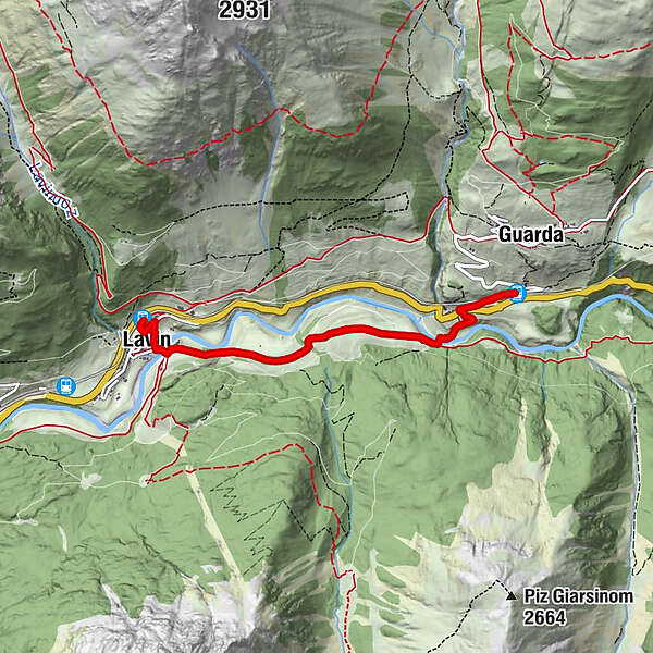
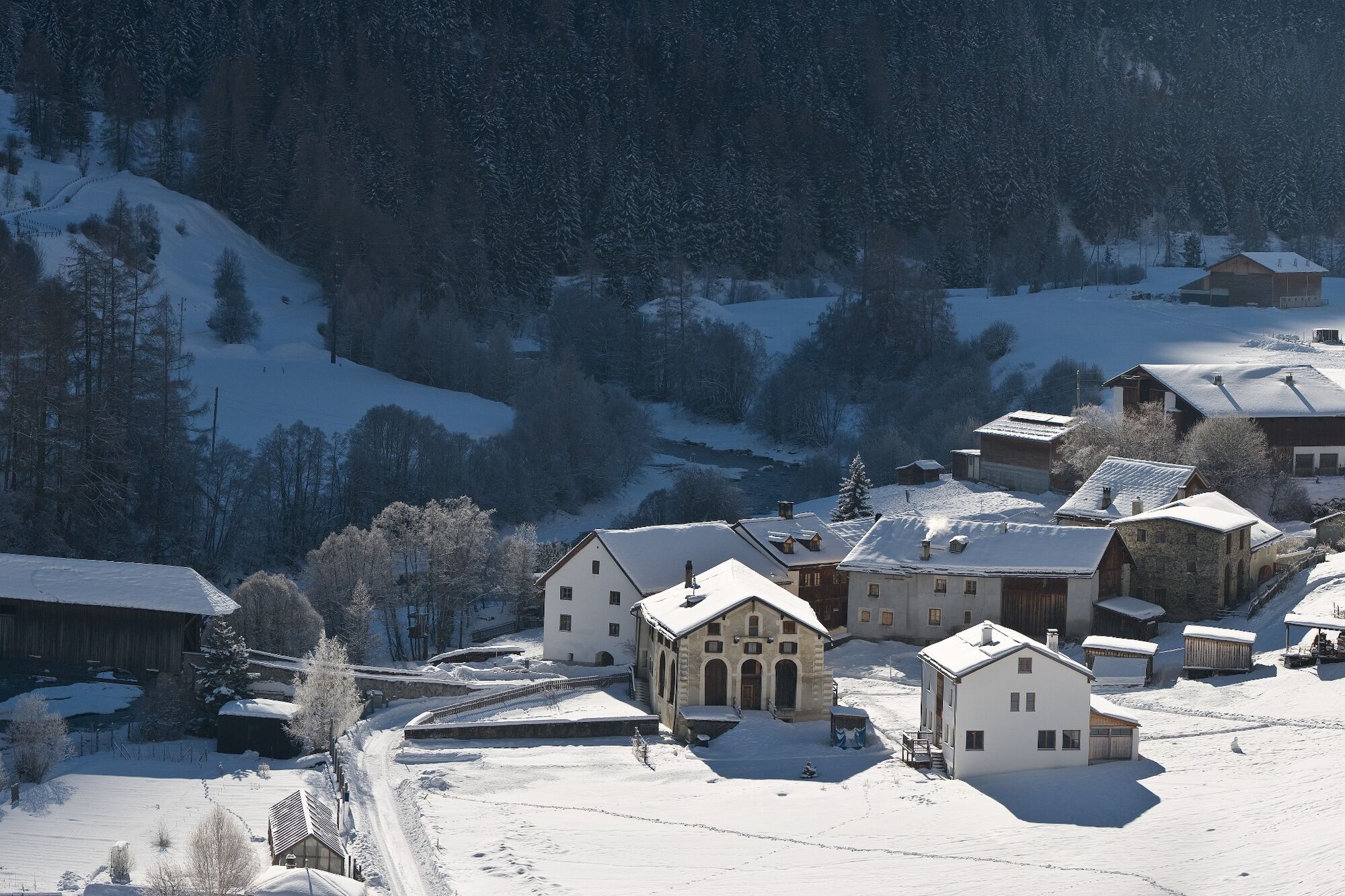
Leisurely winter hike over the Inn plains between Lavin and Giarsun.
- Difficulty
-
easy
- Rating
-
- Starting point
-
Lavin train station
- Route
-
Lavin (1,432 m)Lavin (1,412 m)0.4 kmReformierte Kirche3.4 kmGiarsun3.4 kmGuarda (1,653 m)3.9 km
- Best season
-
AugSepOctNovDecJanFebMarAprMayJunJul
- Description
-
From Lavin railway station, walk through the village down to the Inn bridge. Immediately after crossing the Inn, the trail branches off to the left. Through a small section of forest you reach the wide plains along the Inn. The trail continues with slight ascents and descents back into the forest and below Giarsun the Inn is crossed again. The last section of the trail leads through the hamlet of Giarsun and finally to Guarda railway station.
- Directions
-
From Lavin railway station through the village down to the Inn
Cross the Inn and turn left
Follow the path to Giarsun
Cross the InnWalk through
Giarsun and continue to Guarda station - Highest point
- 1,436 m
- Endpoint
-
Guarda train station
- Height profile
-
 © outdooractive.com
 - Equipment
-
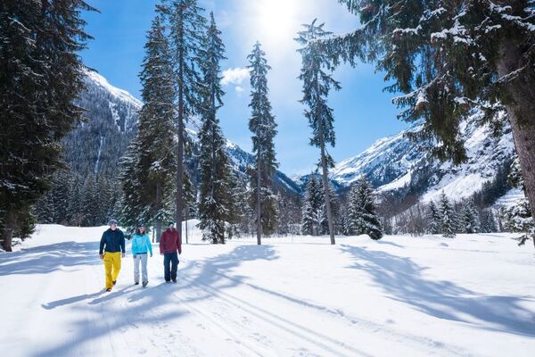
High and sturdy hiking boots or winter boots, warm clothing, sun cream, sunglasses, sunscreen, hiking poles.
- Safety instructions
-
The trail is groomed after each snowfall. Please note the condition reports in the winter sports report. The tour was assessed in favourable weather conditions, the current snow and weather conditions must be observed before starting.
Attention: the trail partly runs on cross-country ski trails - please walk on the edge of the trails.
Emergency call:
144 Emergency call, first aid
1414 Mountain rescue REGA
112 International emergency call
- Tips
-
On the other side of the valley is the highest mountain in the Lower Engadine, Piz Linard. The ruins of Gonda can be seen above the railway line.
- Additional information
- Directions
-
- From the north: via Landquart – Klosters by car transport through the Vereina Tunnel (Selfranga – Sagliains) or via the Flüela Pass into the Lower Engadine on H27
- From the east: via Landeck/Austria in the direction of St. Moritz on H27
- From the south: via Reschenpass (Nauders-Martina) or Ofenpass (Val Müstair-Zernez) on H27
Lavin is located directly on the Engadine road H27 (5 minutes' drive from Vereina south portal).
- Public transportation
-
- By Rhaetian Railway (from Chur, Landquart/Prättigau, from the Upper Engadine or Scuol) hourly to Lavin
- Parking
-
- Paid parking at the railway station in Lavin
- Author
-
The tour Lavin – Giarsun – Gare de Guarda is used by outdooractive.com provided.


General info
-
Engadin Scuol Zernez
109
-
Guarda
25