- Brief description
-
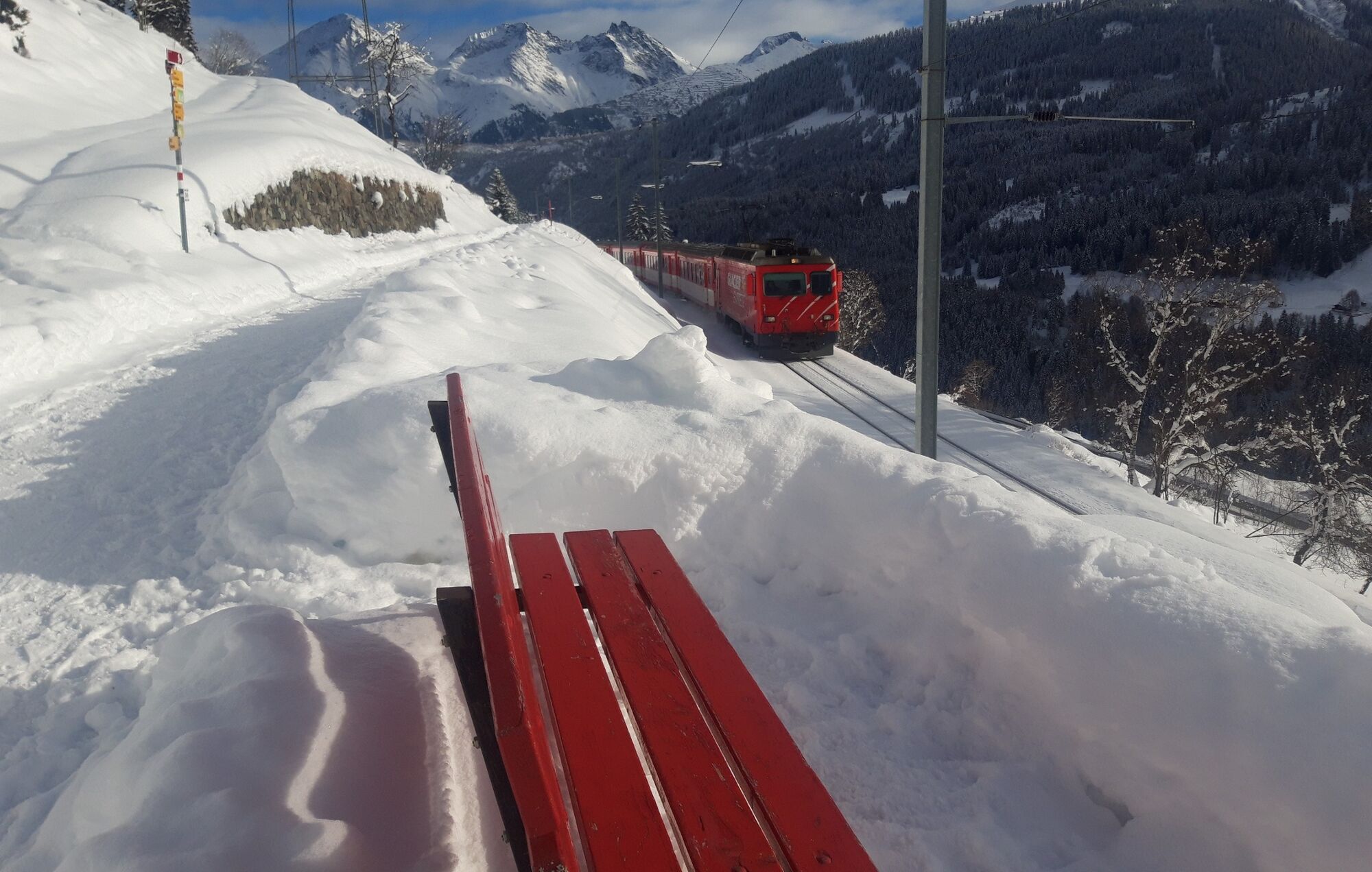
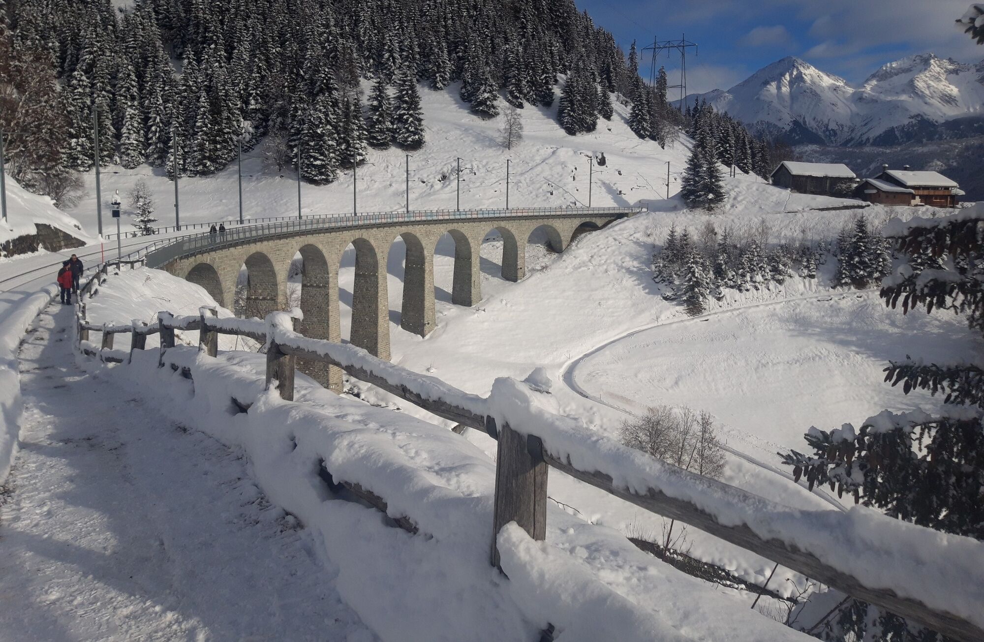
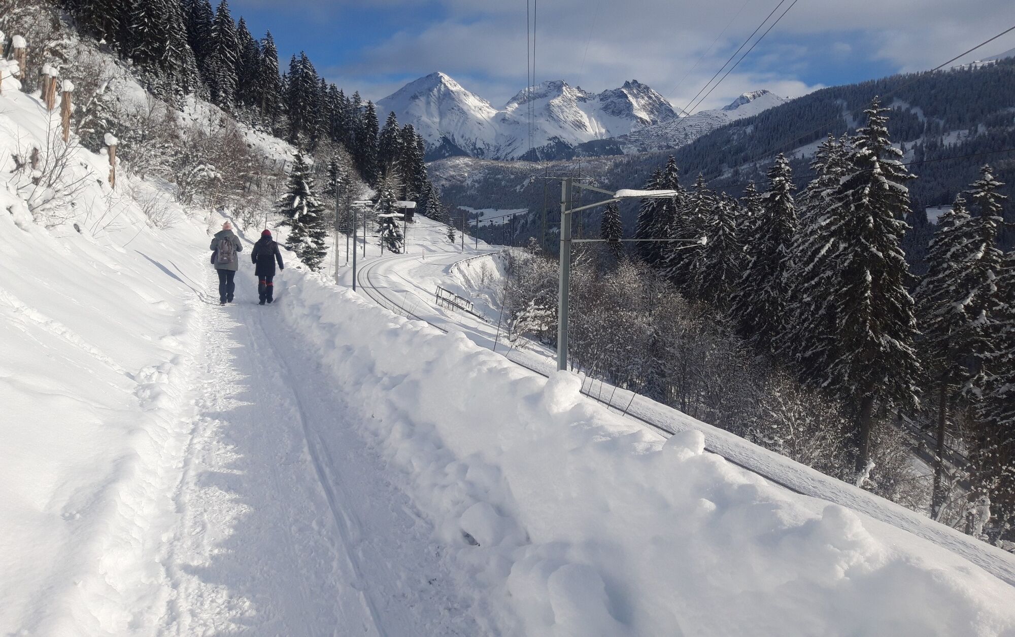
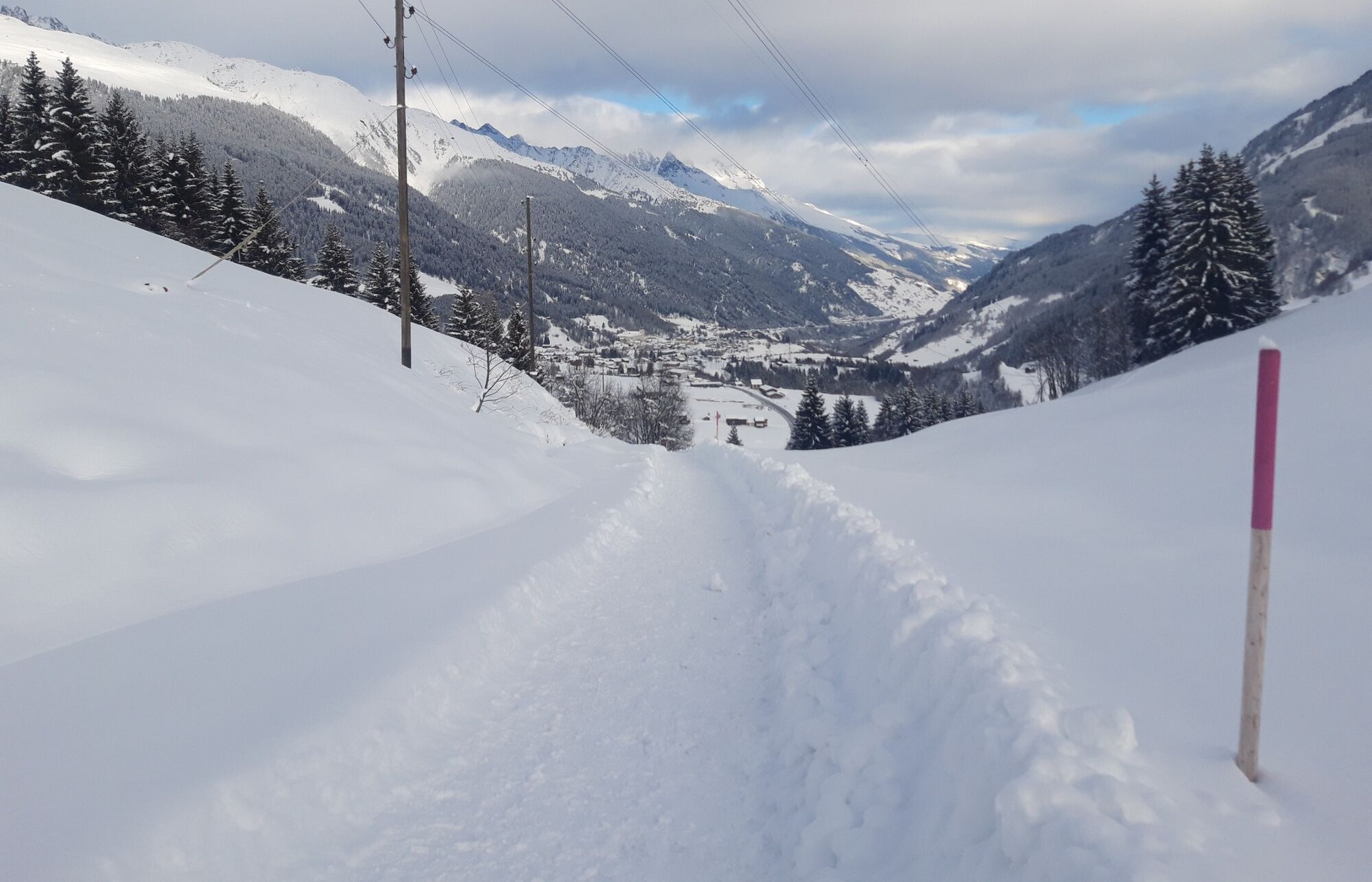
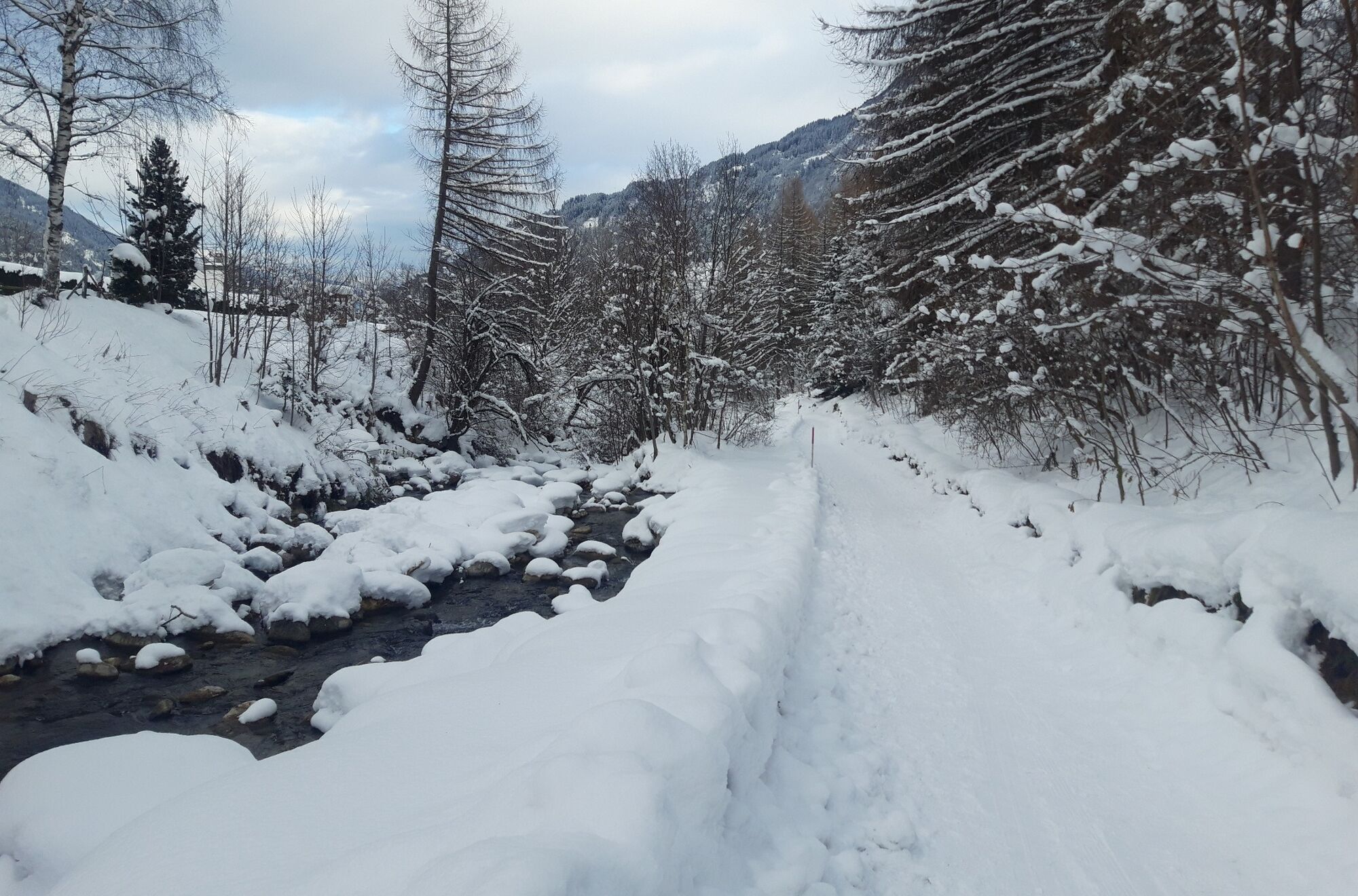
The most popular winter hike on the sunny side of the valley and along the railway line to Disentis.
- Difficulty
-
easy
- Rating
-
- Starting point
-
Sedrun train station
- Route
-
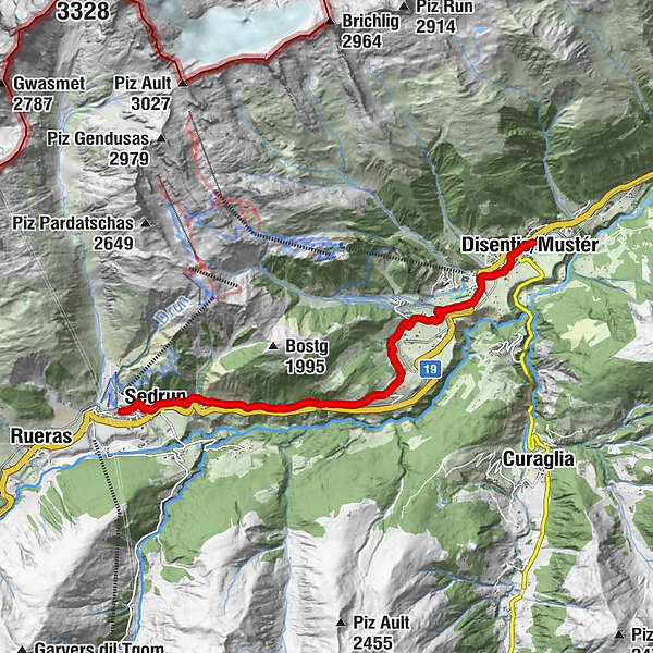
CamischolasSedrun (1,441 m)0.1 kmSedrun0.6 kmBugnei1.6 kmCaplutta S. Giusep1.6 kmCurschettas4.4 kmMumpé Tujetsch4.6 kmSum Craps4.8 kmBegl da Trutg4.9 kmMuschnei5.5 kmVal Sut5.6 kmPlauncas Sut5.8 kmUstria Cresta6.0 kmSegnas6.2 kmBuretsch6.6 kmCuoz7.1 kmPrau7.5 kmBaselgia S. Gion8.7 kmDisentis9.0 kmRaveras9.1 km
- Best season
-
AugSepOctNovDecJanFebMarAprMayJunJul
- Description
-
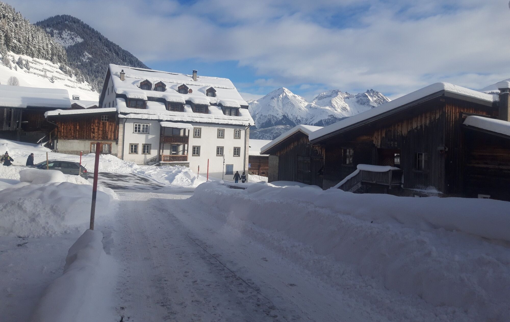
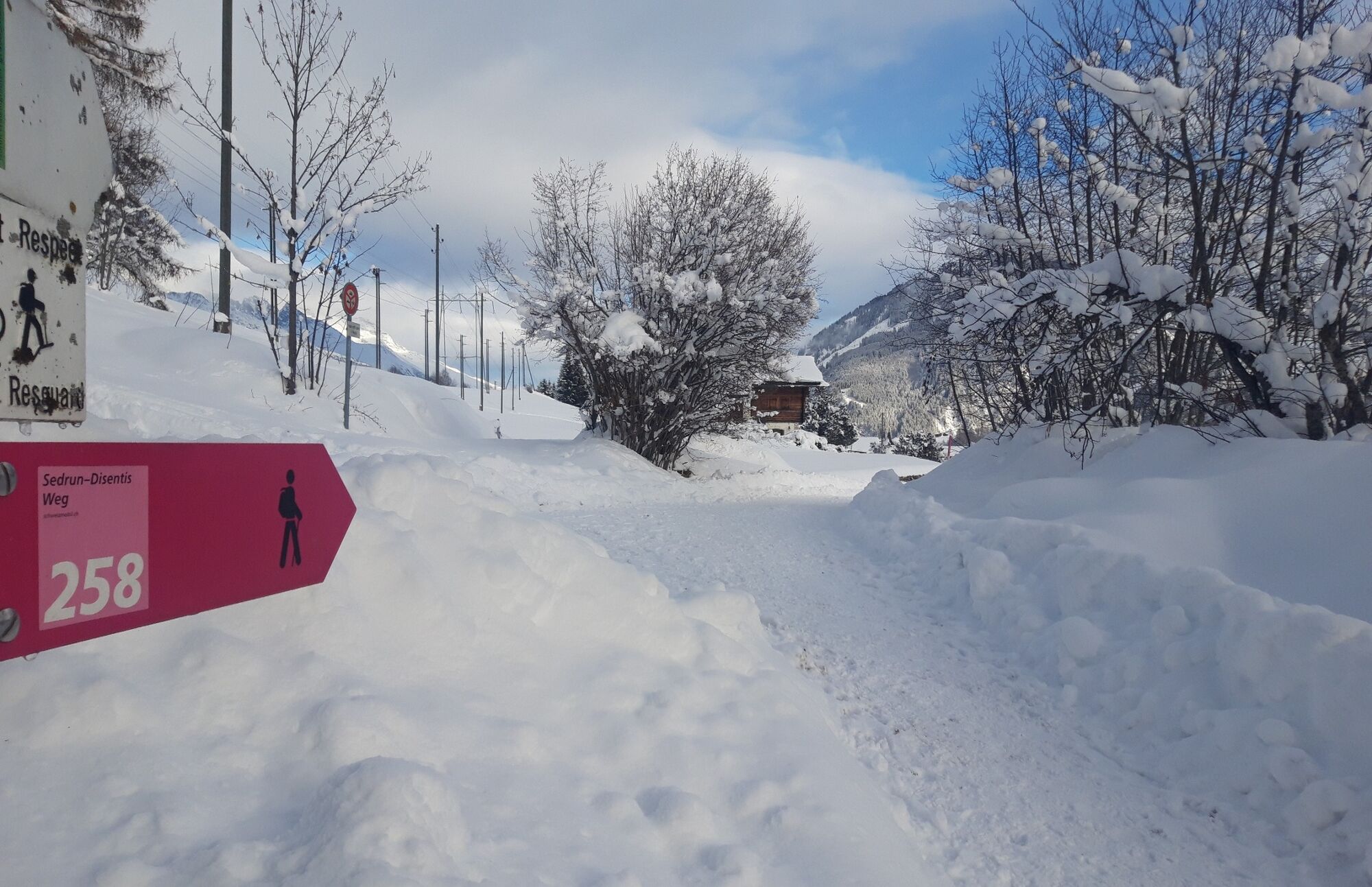
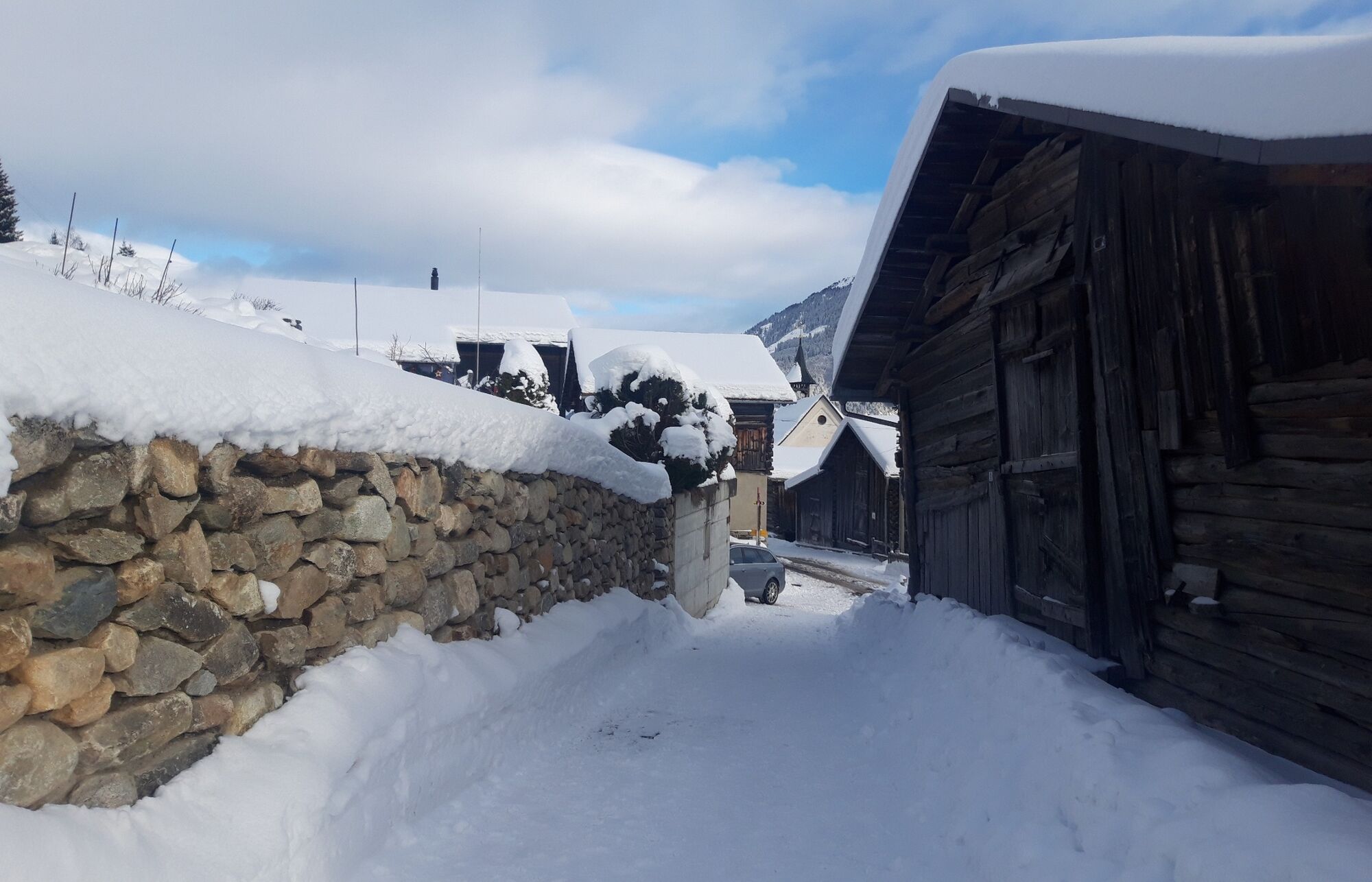
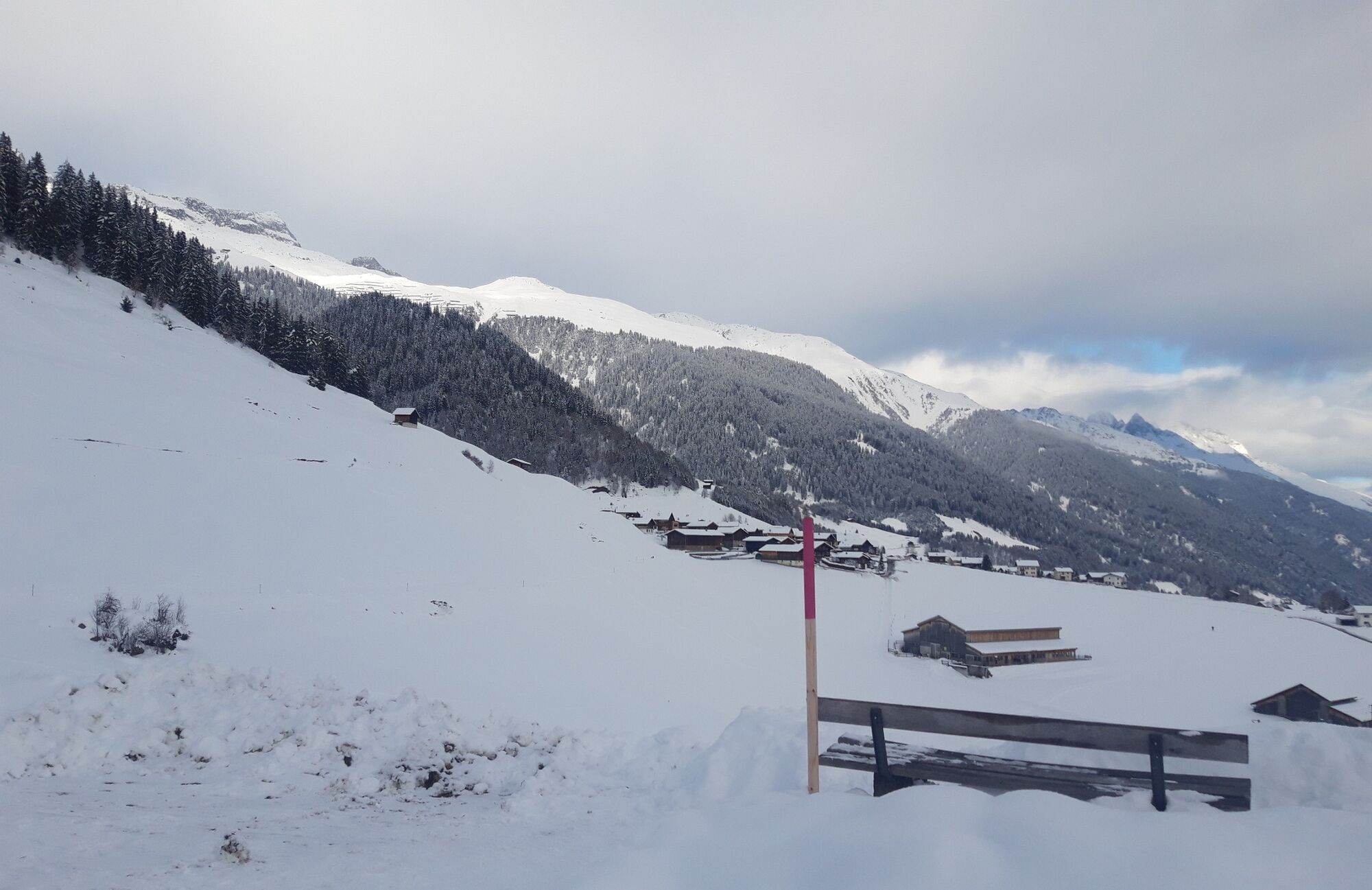
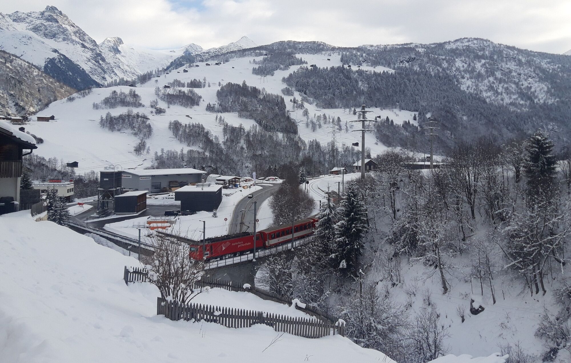
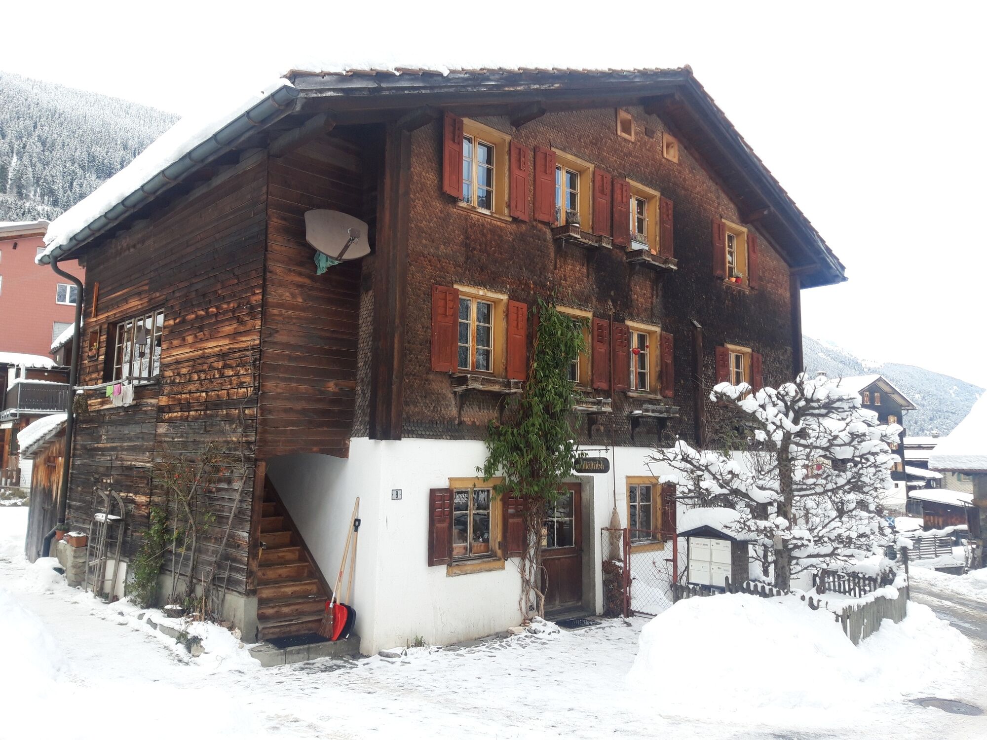
After the railway station in Sedrun, we take various less-travelled district roads to Bugnei. We are now on the most beautiful part of the hike. On a sunny, wind-protected slope running along the railway line, the trail now takes us to the picturesque village of Mompé Tujetsch. Along the way, there are lots of spots to rest on a bench or enjoy the sun. From Mompé Tujetsch we have a magnificent view of Disentis with its stunning monastery. After an easy descent, we reach Segnas where we make a brief stop in the Ustria Cresta. We continue on through Cuoz to the Disentis railway station. You can use any four stops of the Matterhorn Gotthard Bahn between Sedrun and Disentis to return to the starting point at any time. This hike is also very beautiful in reverse.
- Directions
-
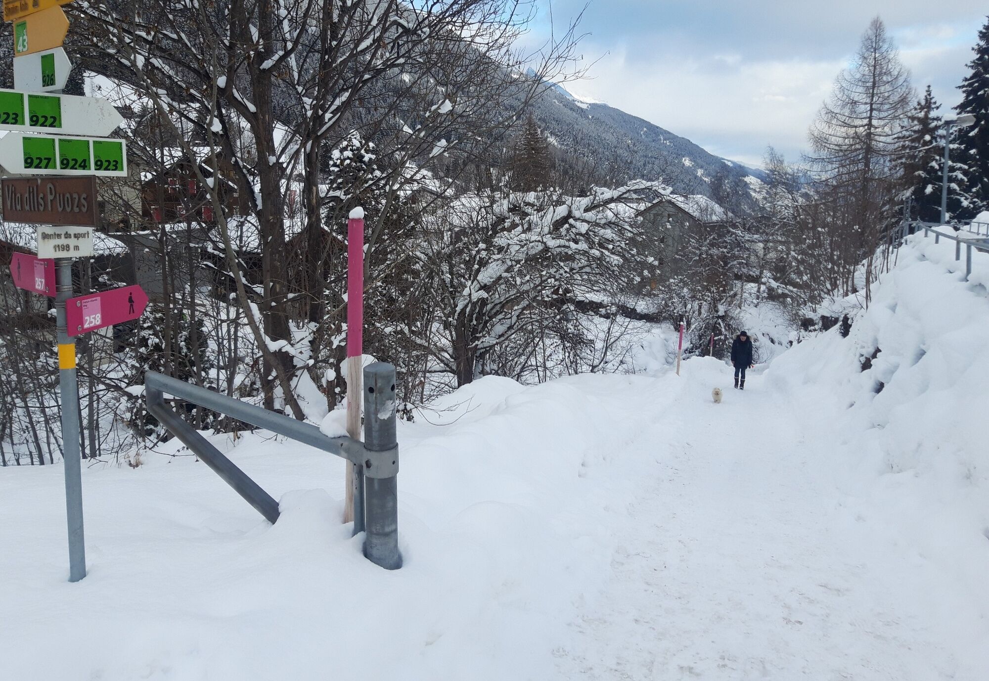
From the Sedrun railway station, we head in the direction of the indoor public pool and then along the district road to Bugnei. It is here that the hiking trail starts, running along the railway line to Segnas. In Segnas we head right under the Ustria Cresta to the left and then to the right in the direction of the village district of Buretsch. Here we branch off to the left towards Cuoz where we follow the main road to the sports centre. The footpath branches off down to the railway station at the stream.
- Highest point
- 1,441 m
- Endpoint
-
Disentis train station
- Height profile
-
 © outdooractive.com
 - Equipment
-
Trekking poles are recommended.
- Safety instructions
-
Common in spring are icy spots in the morning and wet spots in the afternoon caused by melting snow. If you hop on the train at an unstaffed stop, you can buy a ticket from the conductor.
- Tips
-
The valley hike is suitable for families with small children who don't like to walk for long stretches. We then pick up a sled. The gentle incline makes it easy to pull the sled and there are even small downhill slopes for a bit of fun along the way.
- Directions
-
By car from Lucerne or Zurich via Chur to Sedrun (the Oberalp Pass is closed in winter)
- Public transportation
-
By train from Lucerne over the Oberalp Pass or from Zurich via Chur to Sedrun.
- Parking
-
Parking available at the Sedrun railway station (subject to a charge)
- Author
-
The tour Sedrun - Disentis is used by outdooractive.com provided.


General info
-
Uri
144
-
Disentis Sedrun
65
-
Tujetsch
15


")