
- Brief description
-
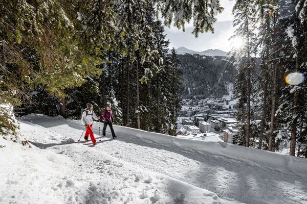
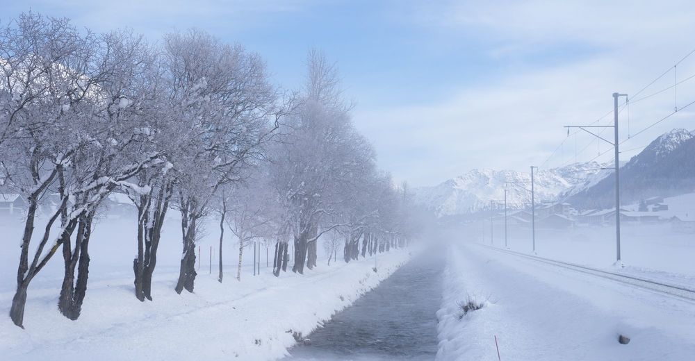
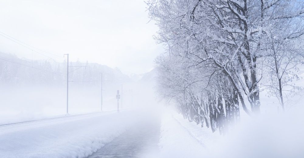
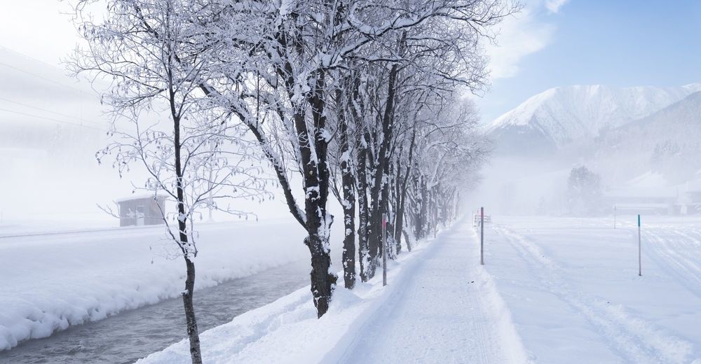
The winter walk leads along the Landwasser river and past various restaurants with wonderful sun terraces.
- Difficulty
-
easy
- Rating
-
- Starting point
-
Davos Dorf
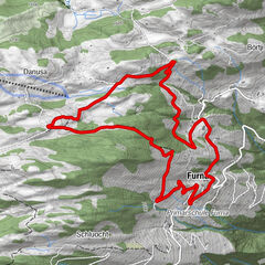
- Route
-
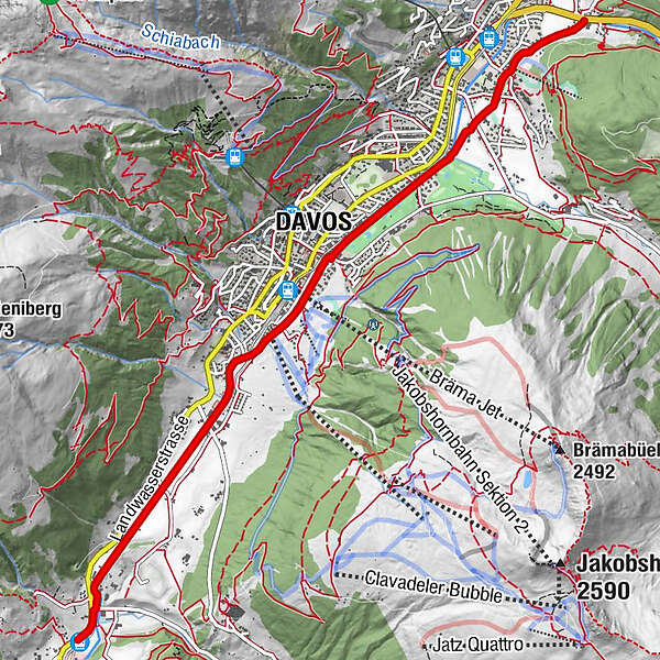
Davos Dorf1.2 kmDavos (1,560 m)2.8 kmFrauenkirch (1,505 m)6.3 kmFrauenkirch (1,505 m)6.6 km
- Best season
-
AugSepOctNovDecJanFebMarAprMayJunJul
- Description
-
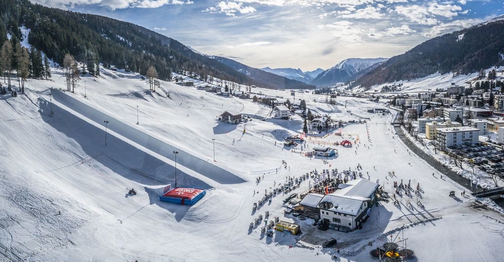
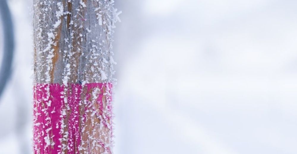
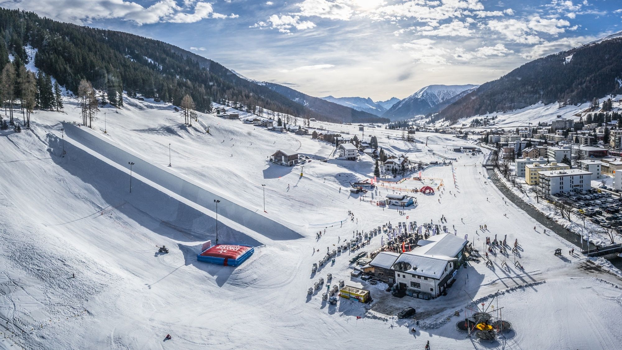
From the "Stilli" bus stop in Davos Dorf, the walk runs along the cross-country ski trail in the direction of Davos Frauenkirch. The walk is ideal for families who want to pull their children through the snowy mountain landscape in a sledge. Various restaurants with beautiful sun terraces are located along the route and ensure that you never have to walk thirsty or with an empty stomach. Along the route you pass various practice lifts, which are used by young and old skiers and snowboarders. The route also passes Bolgenplaza, the après-ski Mecca of Davos Klosters. Here you can admire freestylers in the half pipe and on the kickers, experience the après-ski fun or enjoy the sun in comfortable beach chair. A few steps further along the Landwasser it gets quieter again. The path leads through the middle of the valley past snow-covered birches and the rippling river to Davos Frauenkirch. There you can use the local bus or train for the return to Davos Platz.
- Directions
-
Davos Dorf - Davos Platz - Islen - Davos Frauenkirch
- Highest point
- 1,570 m
- Endpoint
-
Davos Frauenkirch
- Height profile
-
 © outdooractive.com
 - Tips
-
Stop at one of the various restaurants along the route and enjoy the sun.


-

-
AuthorThe tour Landwasser winter hiking trail is used by outdooractive.com provided.


General info
-
Davos Klosters
129
-
Davos Schatzalp
35