- Brief description
-
Comfortable wide winter hiking trail from Maloja to Lägh da Cavloc and perhaps further to Plan Canin.
- Difficulty
-
easy
- Rating
-
- Starting point
-
Parking at Orden Dent (free of charge)
- Route
-
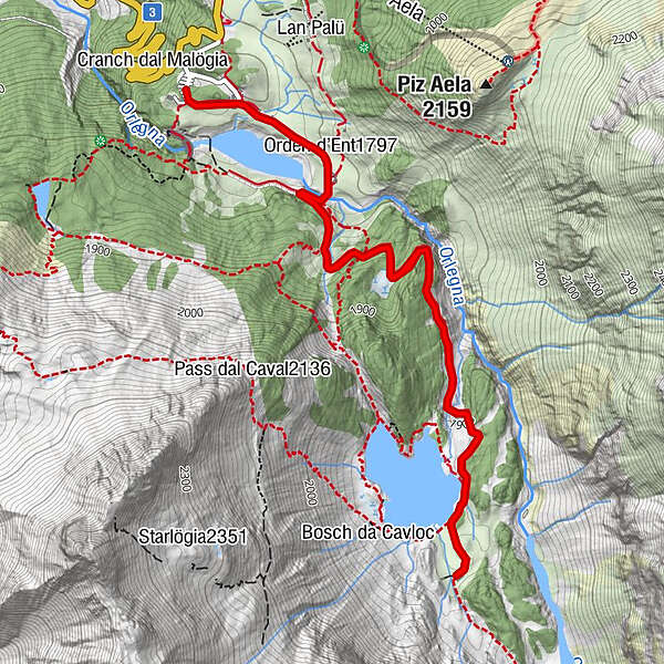
Orden (1,807 m)0.2 kmOrden d'Ent (1,797 m)0.6 kmAlp da Cavloc (1,911 m)3.3 kmCavloccio3.6 kmOrden d'Ent (1,797 m)6.0 kmOrden (1,807 m)6.4 km
- Best season
-
AugSepOctNovDecJanFebMarAprMayJunJul
- Description
-
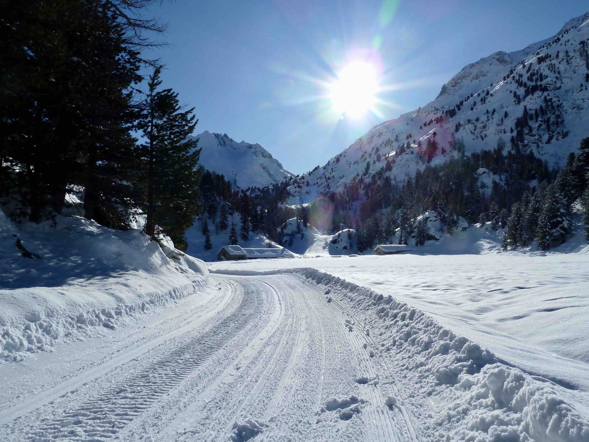
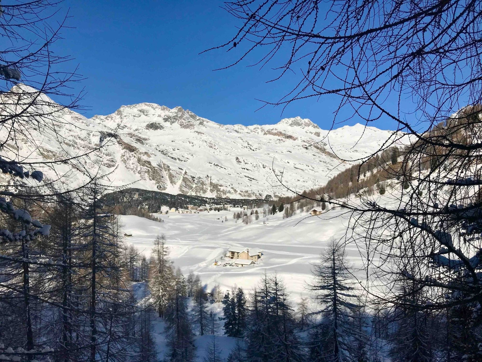
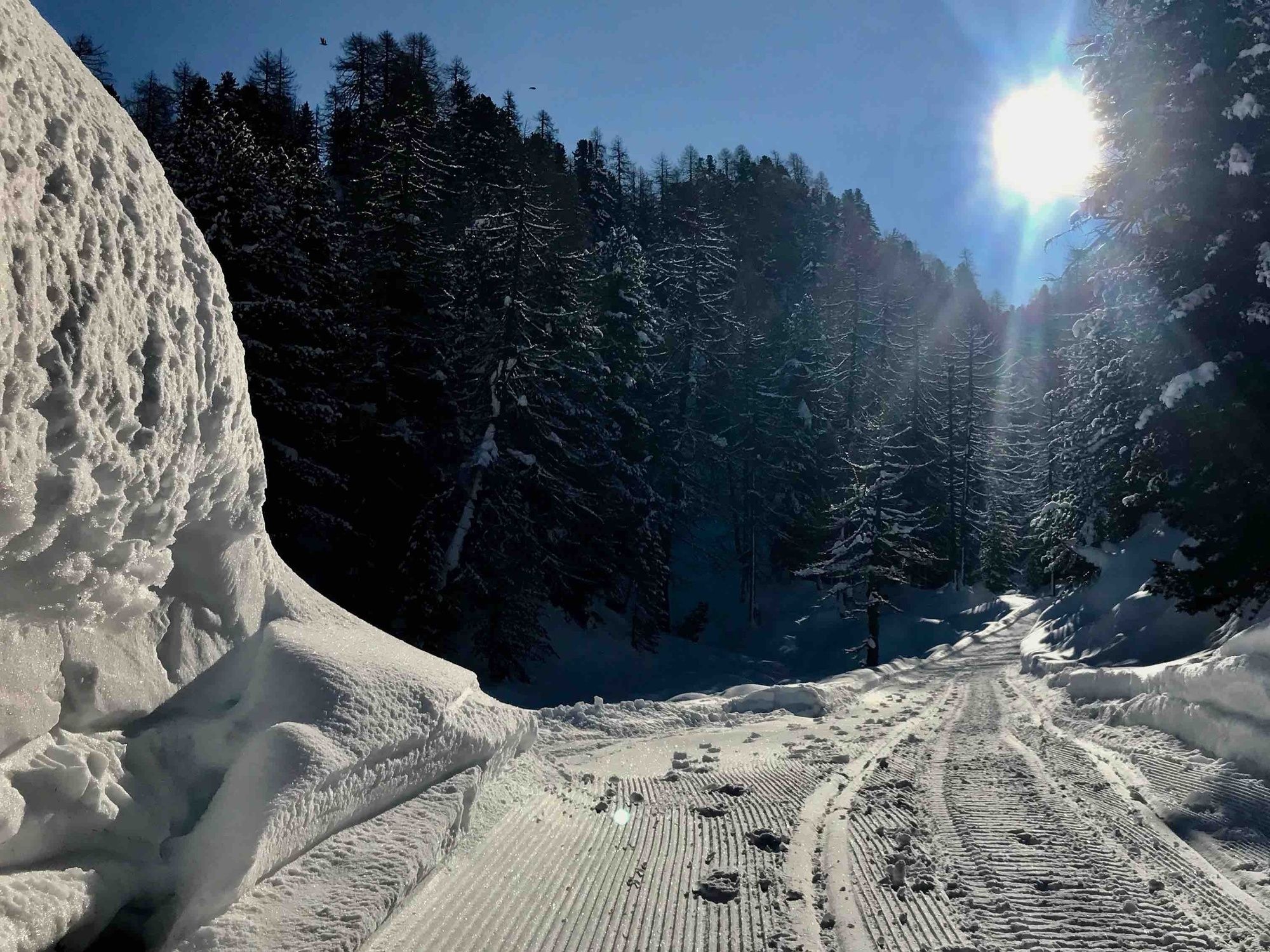
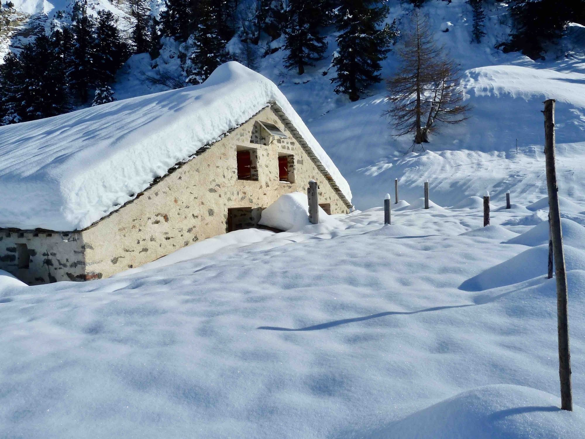
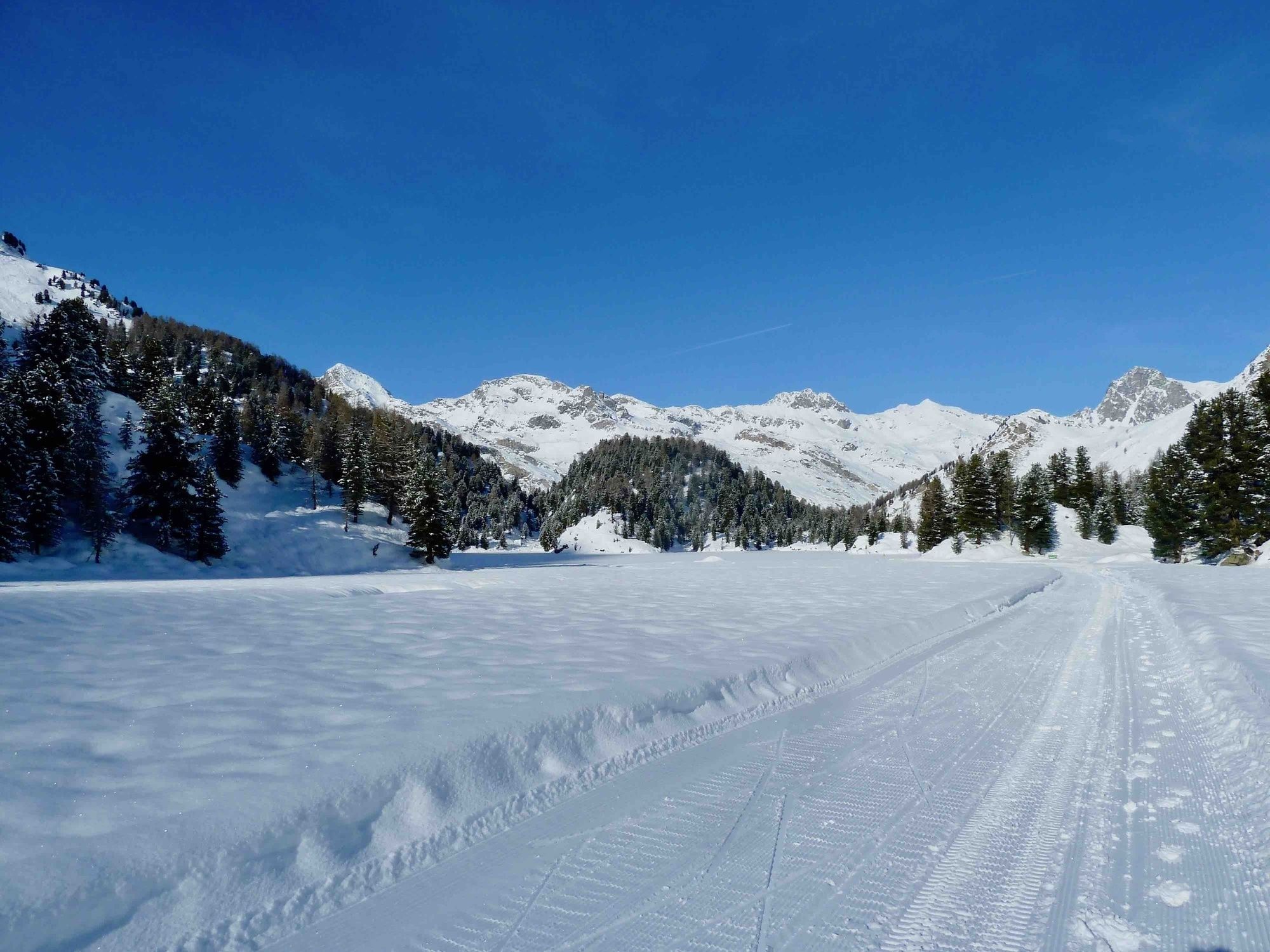
Starting at the Orden parking, the road leads to the Salecina venue. This first section criss-crosses the sunny Orden circular trail. Then a wide forest path leads up towards the lake. This route is also used by experienced cross-country skiers, snowshoe trekkers and ski tourers. There are frequent places where the trees thin out to reveal views of the majestic Piz da la Margna peak. The little Cavloccio Restaurant is closed in winter, but you can relax on its terrace and let your gaze wander up to the Piz Salacina peak.
For those who want to hike further: The winter trail continues to Plan Canin. After a narrow passage, the valley opens up with views towards the Muretto Pass, Pizzi dei Rossi and the Forn Valley.
- Directions
-
From Maloja or Kulm, hikers first cross the Orden plain to reach the Salecina resort. This first section criss-crosses the sunny Orden circular ski trail. Then, a wide forest trail leads up towards the lake.
- Highest point
- 1,912 m
- Endpoint
-
Parking at Orden Dent (free of charge)
- Height profile
-
 © outdooractive.com
 - Equipment
-
Normal winter hiking equipment.
- Safety instructions
-
Easy to walk hiking trail.
If it has thawed and refrozen frequently in winter, individual parts may be icy and slippery. - Tips
-
Take a picnic and tea with you! The restaurant Cavloccio is closed in winter, but there are sunny benches.
- Additional information
-
Schweiz Mobil Route 380
Bregaglia Engadin Turismo
www.bregaglia.ch
Infostelle Maloja
+41 81 822 15 55


- Author
-
The tour Winter hiking trail to Lake Cavloc is used by outdooractive.com provided.