


- Brief description
-
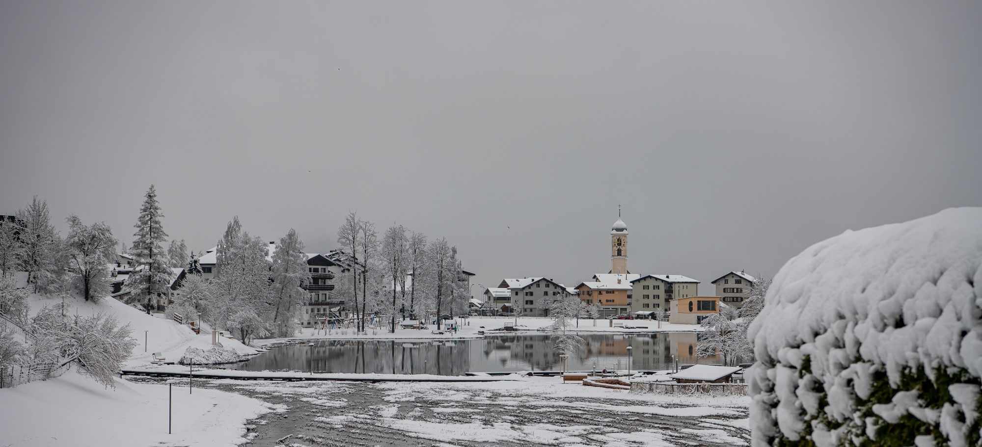
Cozy hike in the middle of the winter paradise Laax.
- Difficulty
-
easy
- Rating
-
- Starting point
-
Laax Dorf (village), Post
- Route
-
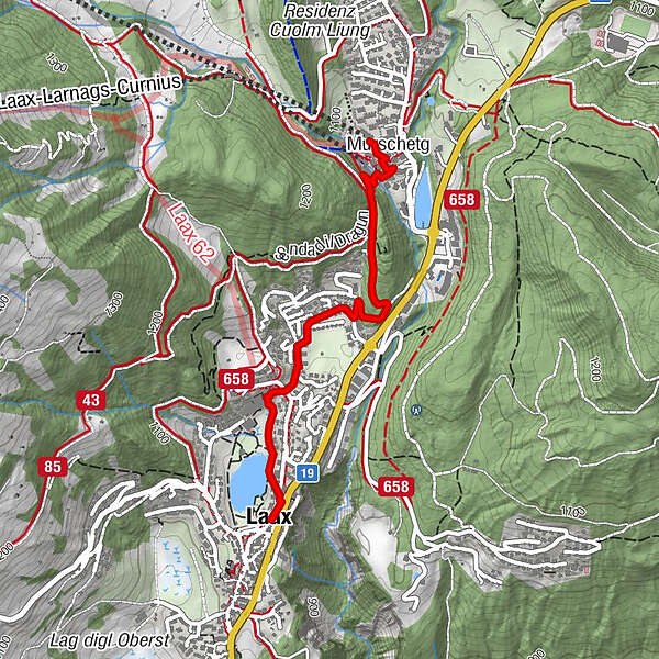
Laax (1,016 m)Seehof0.0 kmMurschetg (1,083 m)2.1 km
- Best season
-
AugSepOctNovDecJanFebMarAprMayJunJul
- Description
-
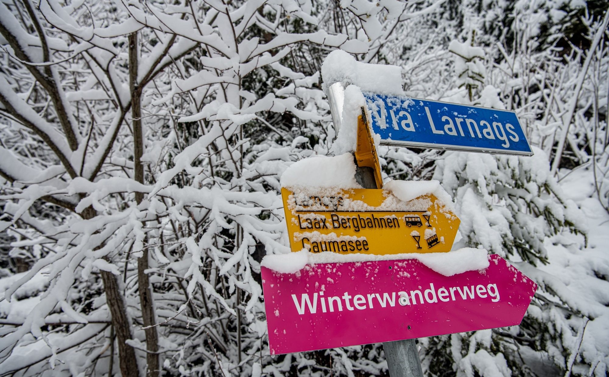
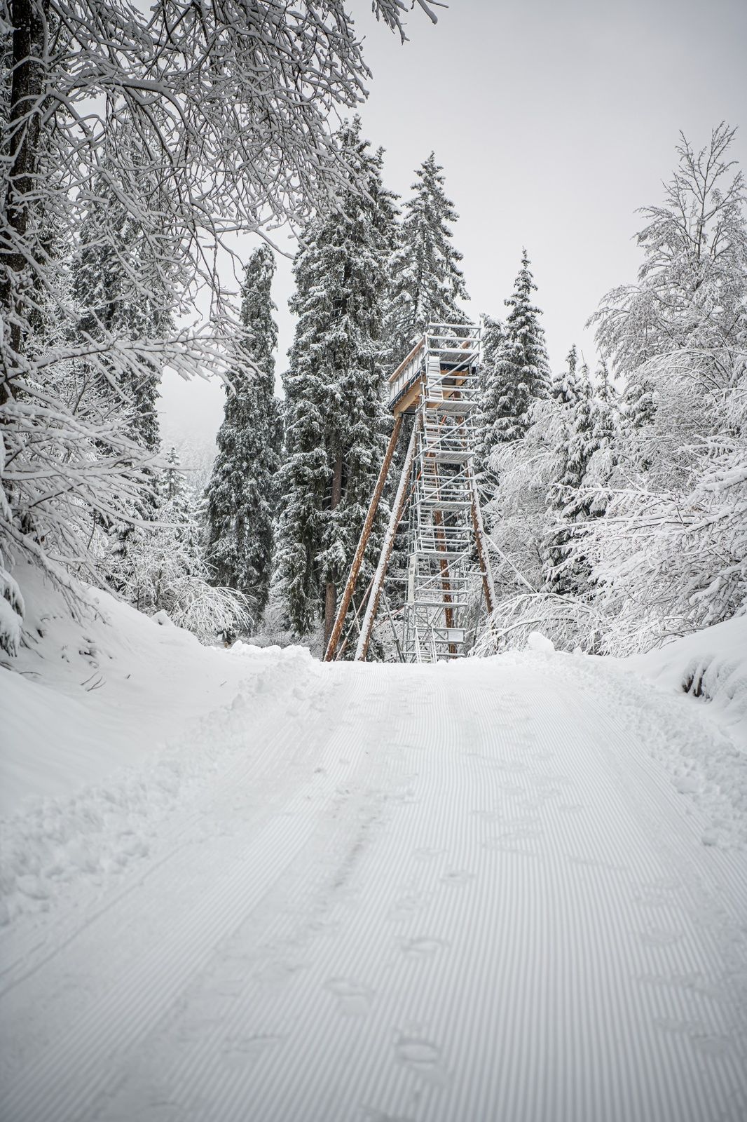
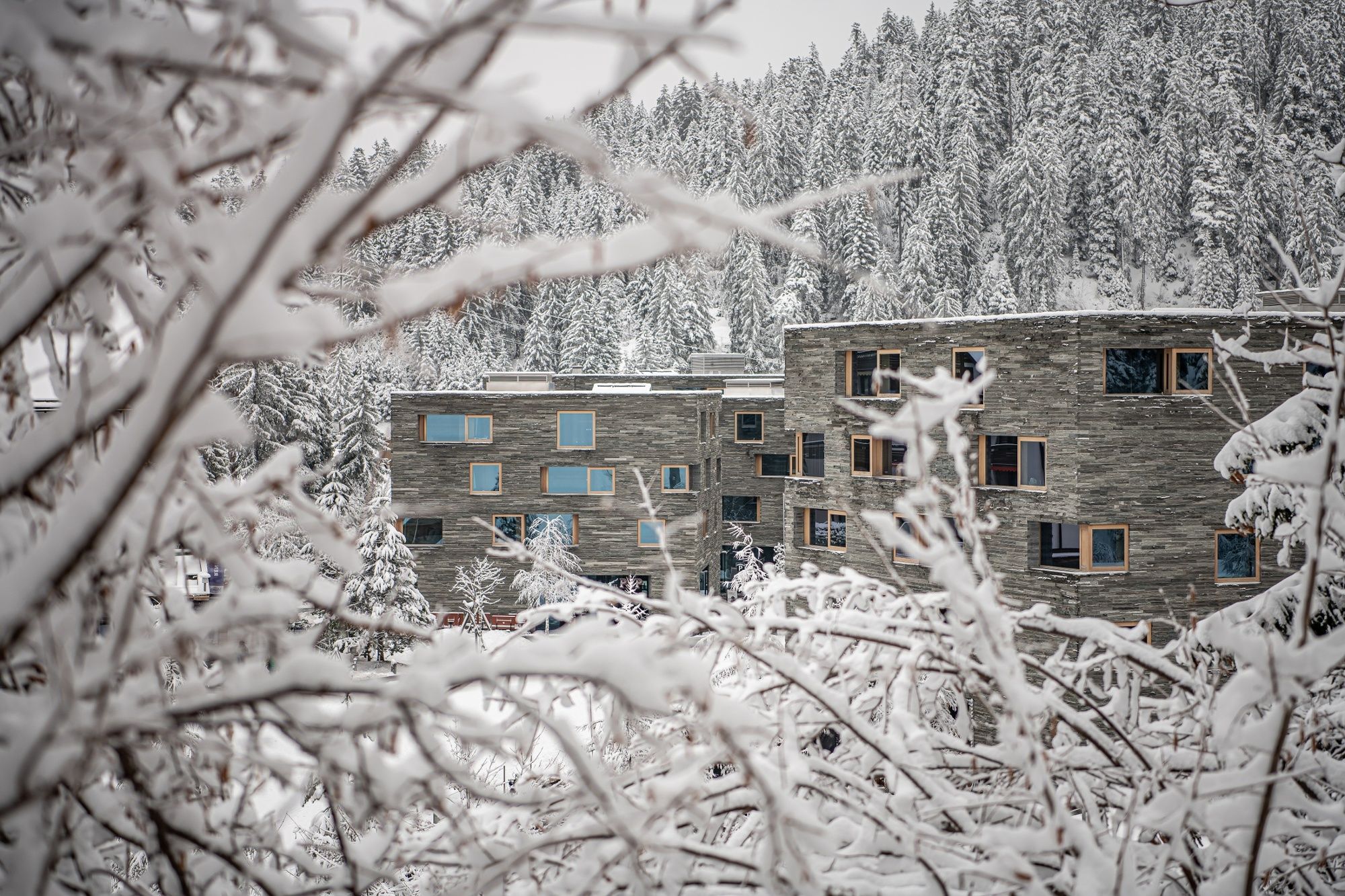
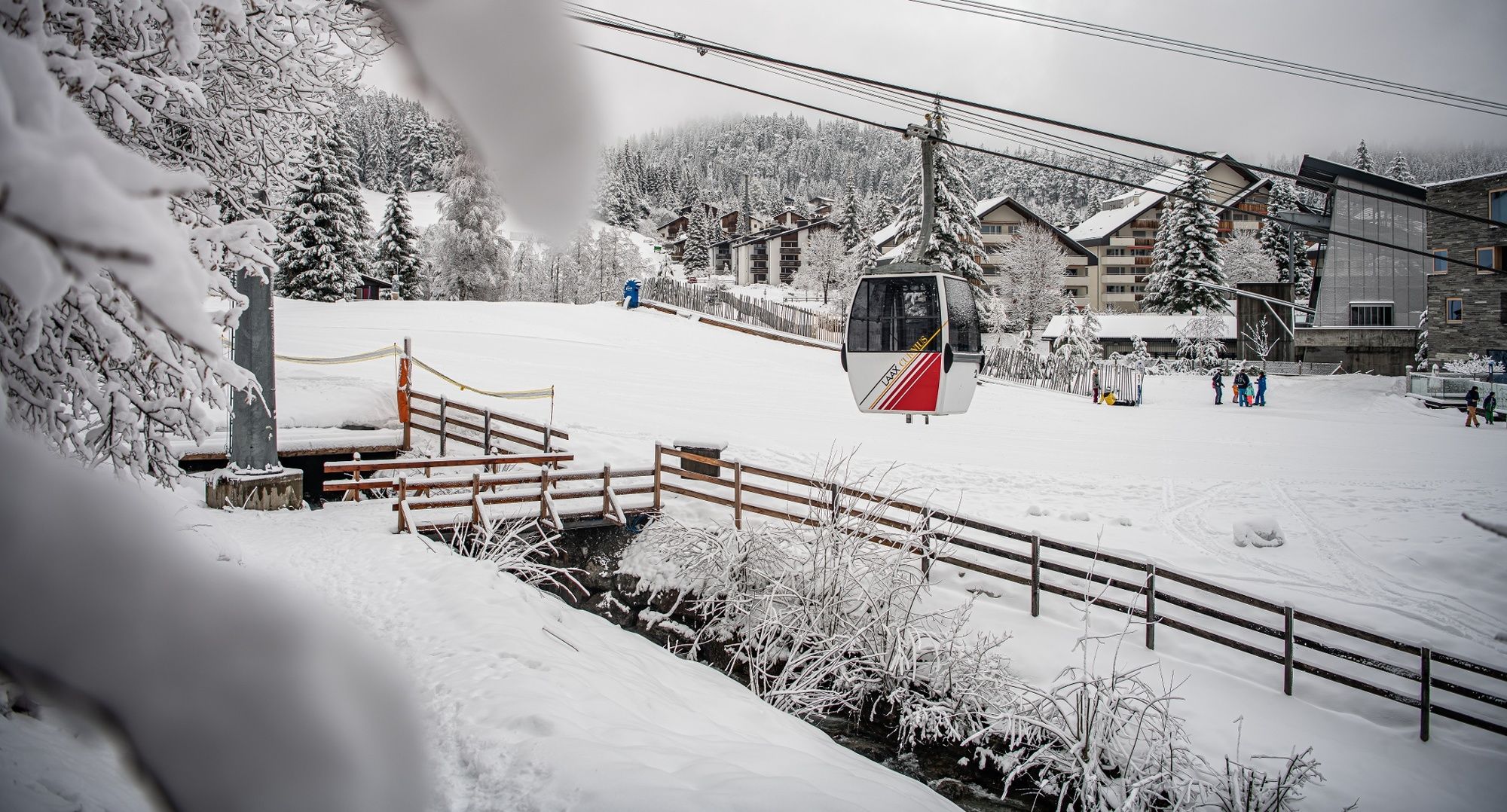
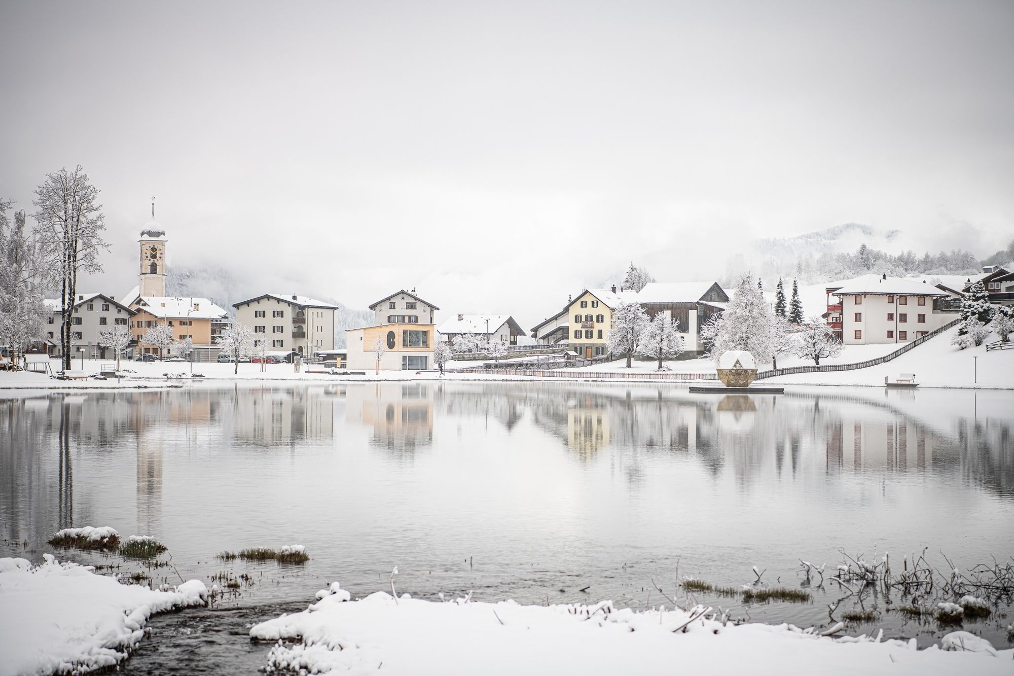
This beautiful hike starts in Laax village next to the Laaxersee. When it's cold enough, you can practice your skills on skates on the frozen Laaxersee. The path leads through Laax direction Cons. Cons also belongs to Laax and is located next to the forest. In Cons, the trail leads in the middle of winter paradise to Laax Murschetg mountain railways. If you look well, you can even see a squirrel in the forest.In Murschetg arrived, invite you to relax and enjoy a variety of coffees and bars.
- Directions
-
Laax Dorf (village), Post - Laaxersee - Cons - Laax Murschetg mountain railways
- Highest point
- 1,099 m
- Endpoint
-
Laax Murschetg, Bergbahnen (mountain railways)
- Height profile
-
 © outdooractive.com
 - Equipment
-
Winter footwear and warm clothes.
- Safety instructions
-
Note bus connections.
- Tips
-
Stop in Laax Murschetg.
- Additional information
- Directions
-
By car from the motorway exit A13 Reichenau to Flims
- Public transportation
-
By Postbus from Chur to Laax
Stop: Laax Post
- Parking
-
In Laax next to the lake has a parking and underground parking

- Author
-
The tour Laax Dorf - Laax Talstation is used by outdooractive.com provided.


General info
-
Glarnerland
247
-
Flims Laax Falera
174
-
Castrisch
111


