
- Brief description
-
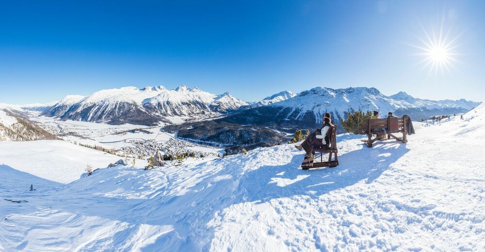
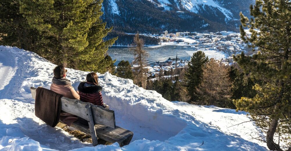
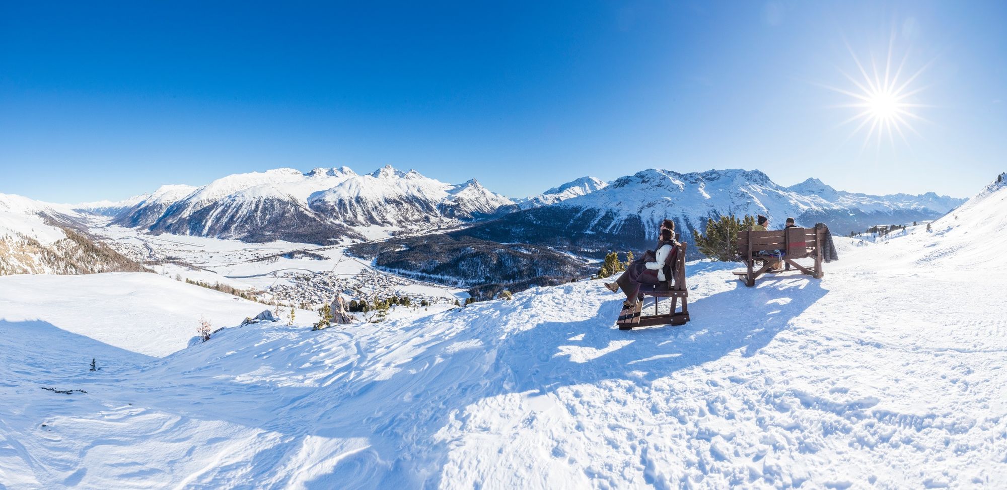
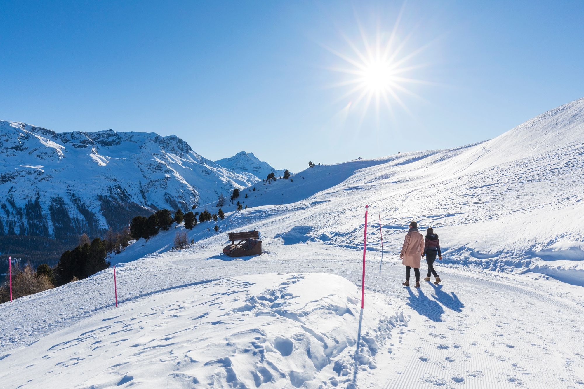
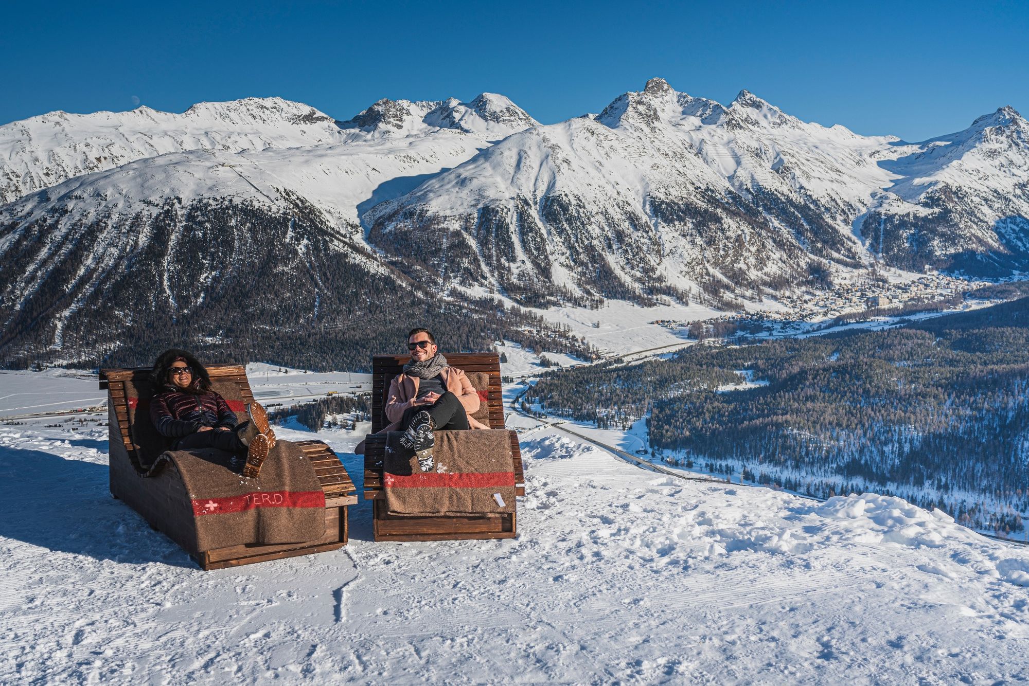
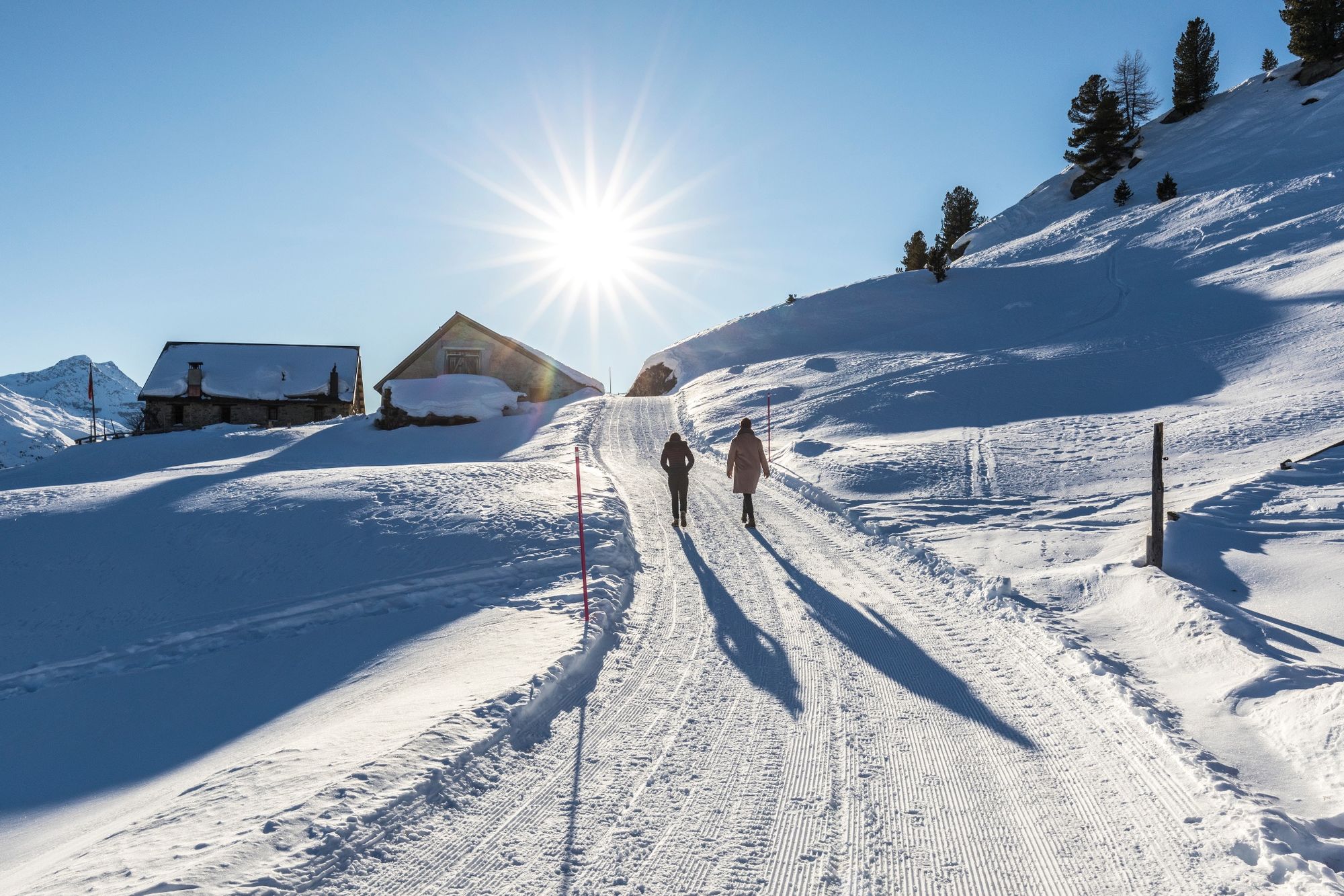
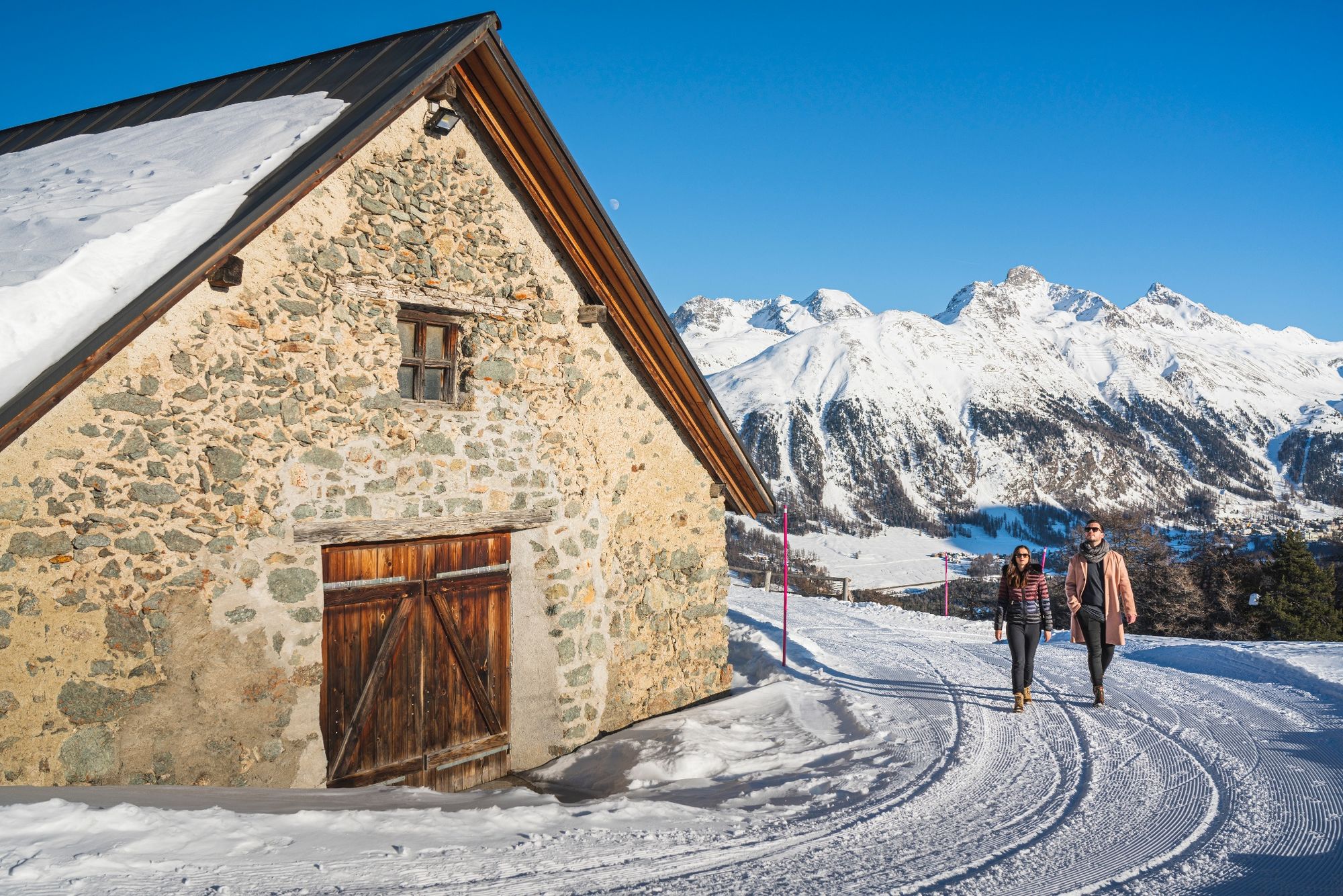
This one-hour winter hiking trail offers a beautiful view of the Upper Engadine and ends in a fairytale forest above St. Moritz.
- Difficulty
-
medium
- Rating
-
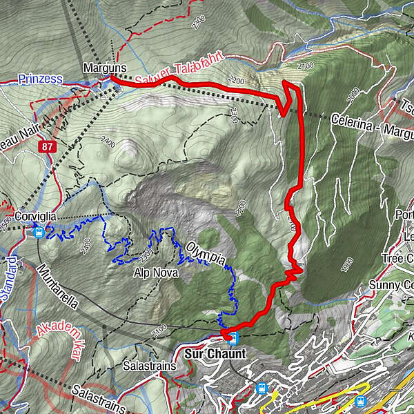
- Starting point
-
Marguns
- Route
-
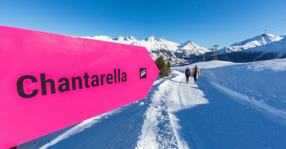
MargunsSankt Moritz (1,822 m)3.7 kmSur Chaunt3.7 kmChantarella3.7 km
- Best season
-
AugSepOctNovDecJanFebMarAprMayJunJul
- Description
-
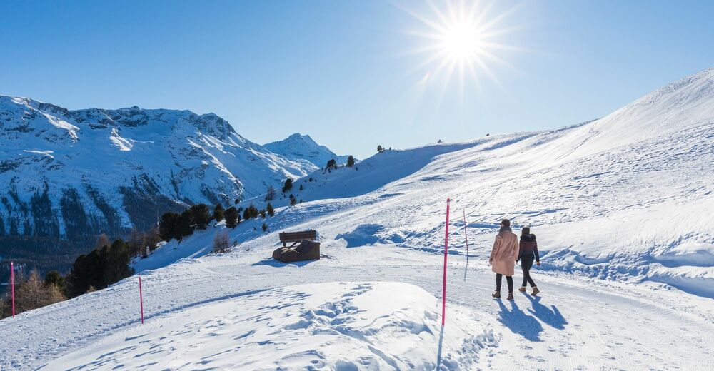
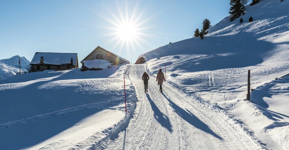
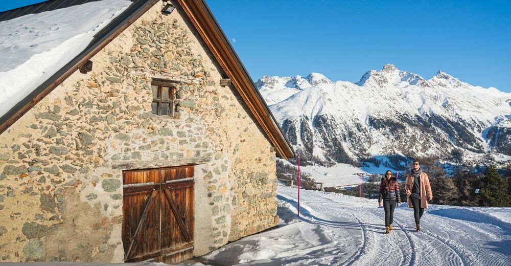
This winter hiking trail in the Corviglia ski area invites you to enjoy the snow-covered landscape away from the pistes.
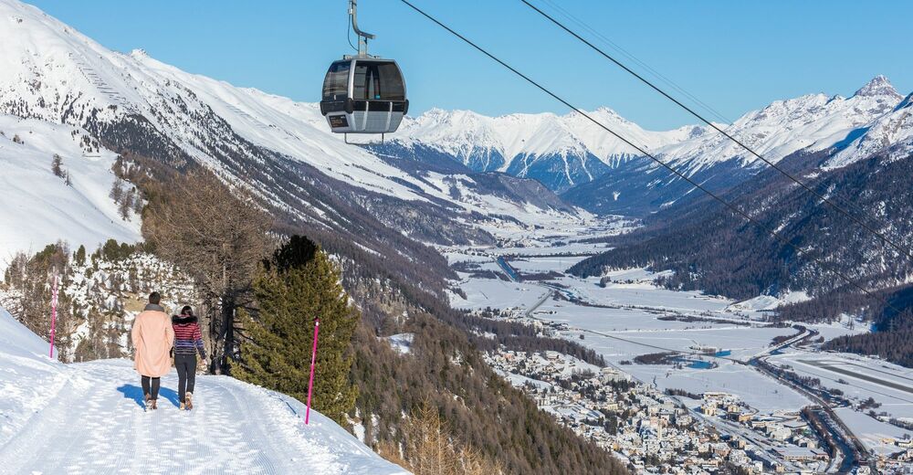
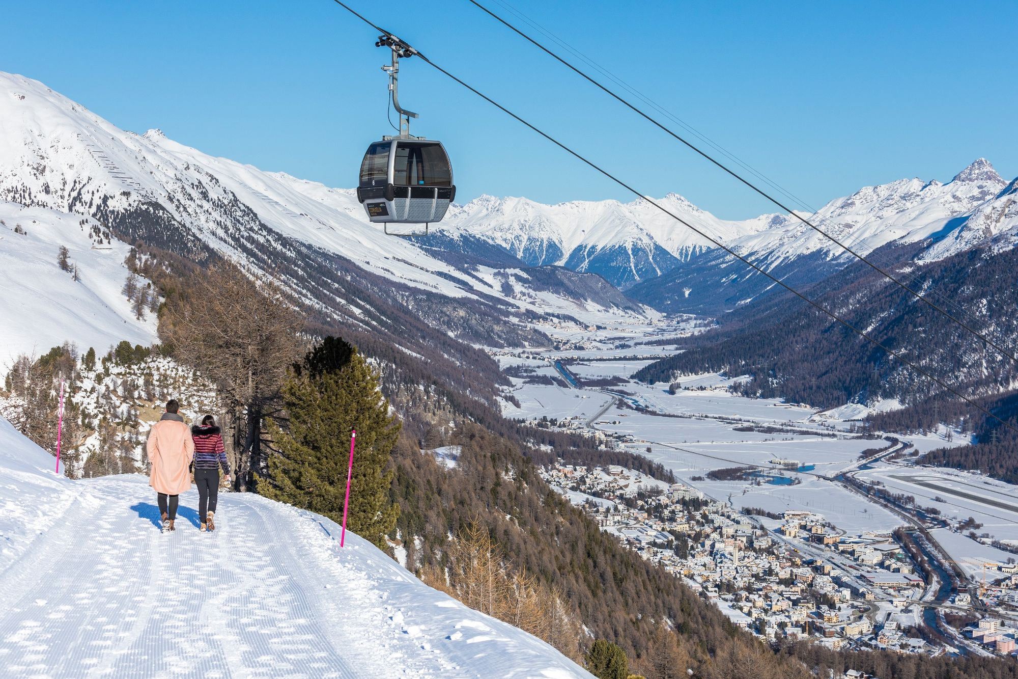
The trail starts at the Marguns mountain station and can easily be reached from Celerina by cable car. It is also a perfect continuation of the winter hiking trail from the Corviglia mountain station to Marguns, ideally after a culinary stop at the Chadafö restaurant.
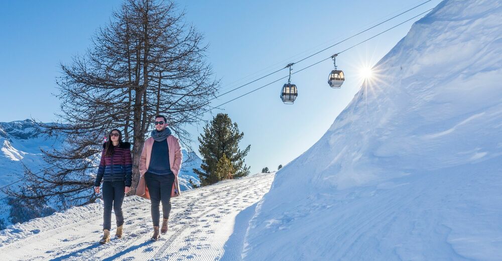
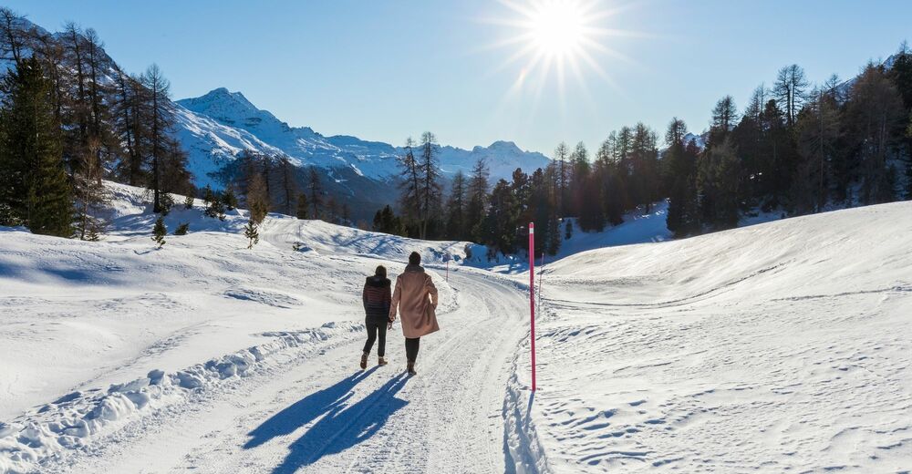
Just a few metres after the start, you leave the ski area behind and soon find yourself in a magnificent winter landscape with views down to the Inn Valley and towards the Bernina Pass. The 3.6-kilometre-long trail continues slightly downhill and leads directly to the middle station at Chantarella, from where you can reach St. Moritz by funicular in just a few minutes.
The winter hiking trail is open during the winter season, depending on snow conditions.
Note: The winter hiking trail is not a sledge run, the mountain railways do not transport sledges on Corviglia and Marguns. Exception: families are allowed to bring a sledge to pull their children along.
More information
Engadin Tourismus AG
Via Maistra 1
CH-7500 St. Moritz
Phone: +41 81 830 00 01
E-mail: allegra@engadin.ch
Internet: www.engadin.chwinter hiking trail report: www.engadin.ch/en/slopes-tracks/winter-hiking-trails/
- Highest point
- 2,267 m
- Endpoint
-
Chantarella
- Height profile
-
 © outdooractive.com
 - Safety instructions
-
Good footwear is a prerequisite for this path. The lower part through the forest is only a narrow path and more difficult to walk than the upper part. After a longer period without snowfall, the short steep passage between the antenna and the forest can be icy.
- Public transportation
-
By train to Celerina station or by bus to the Cresta Palace stop and from there in a few minutes to the Celerina-Marguns valley station.
From there you can reach Marguns easily by cable car.


- Author
-
The tour Winter hiking trail Marguns - Chantarella is used by outdooractive.com provided.


General info
-
Veltlin / Valtellina
49
-
Engadin St. Moritz
102
-
Corviglia
53