

- Brief description
-
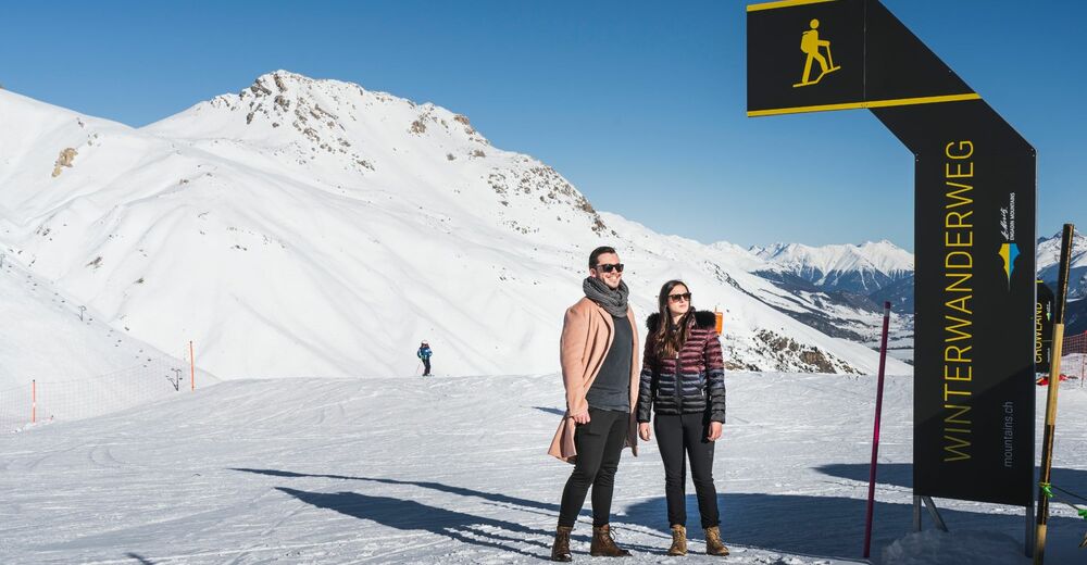
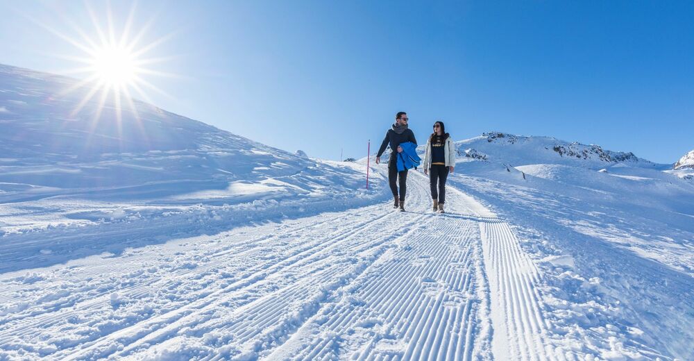
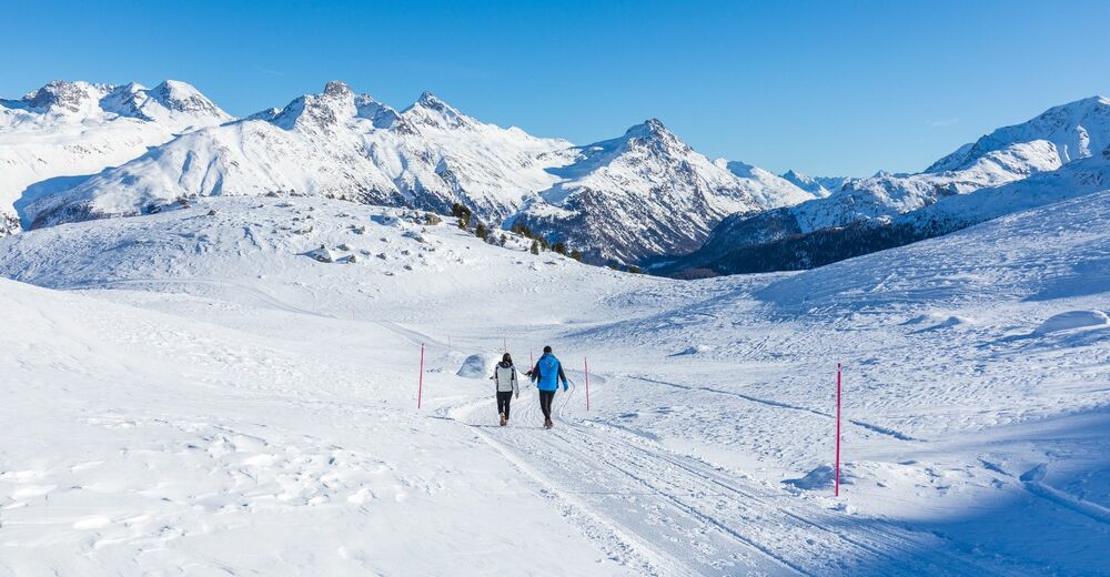
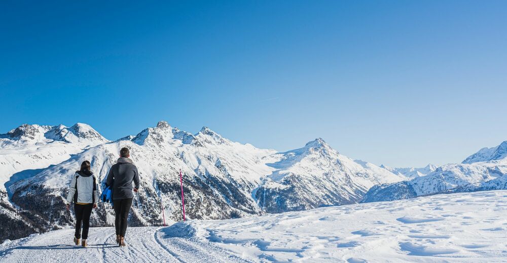
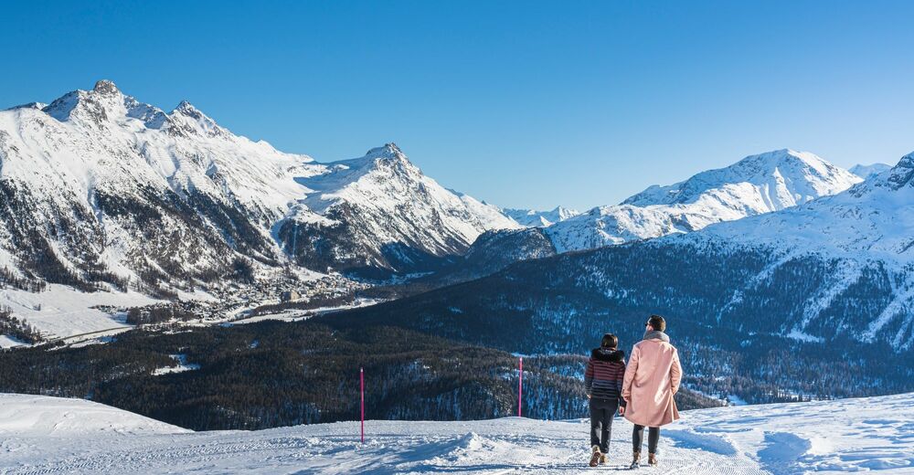
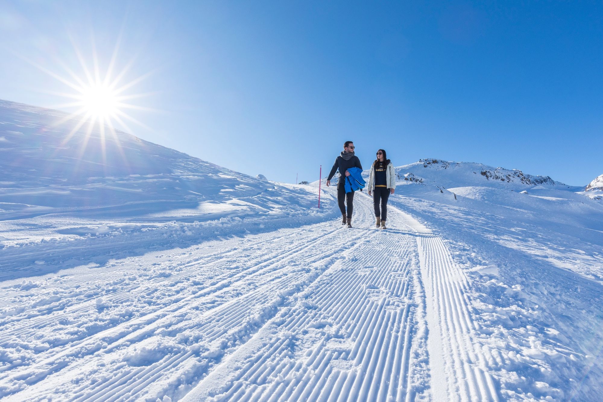
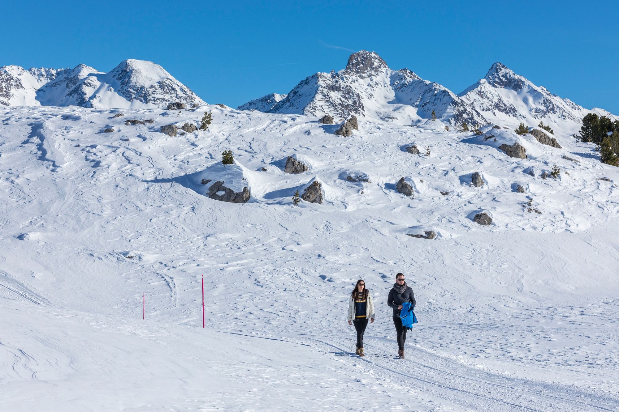
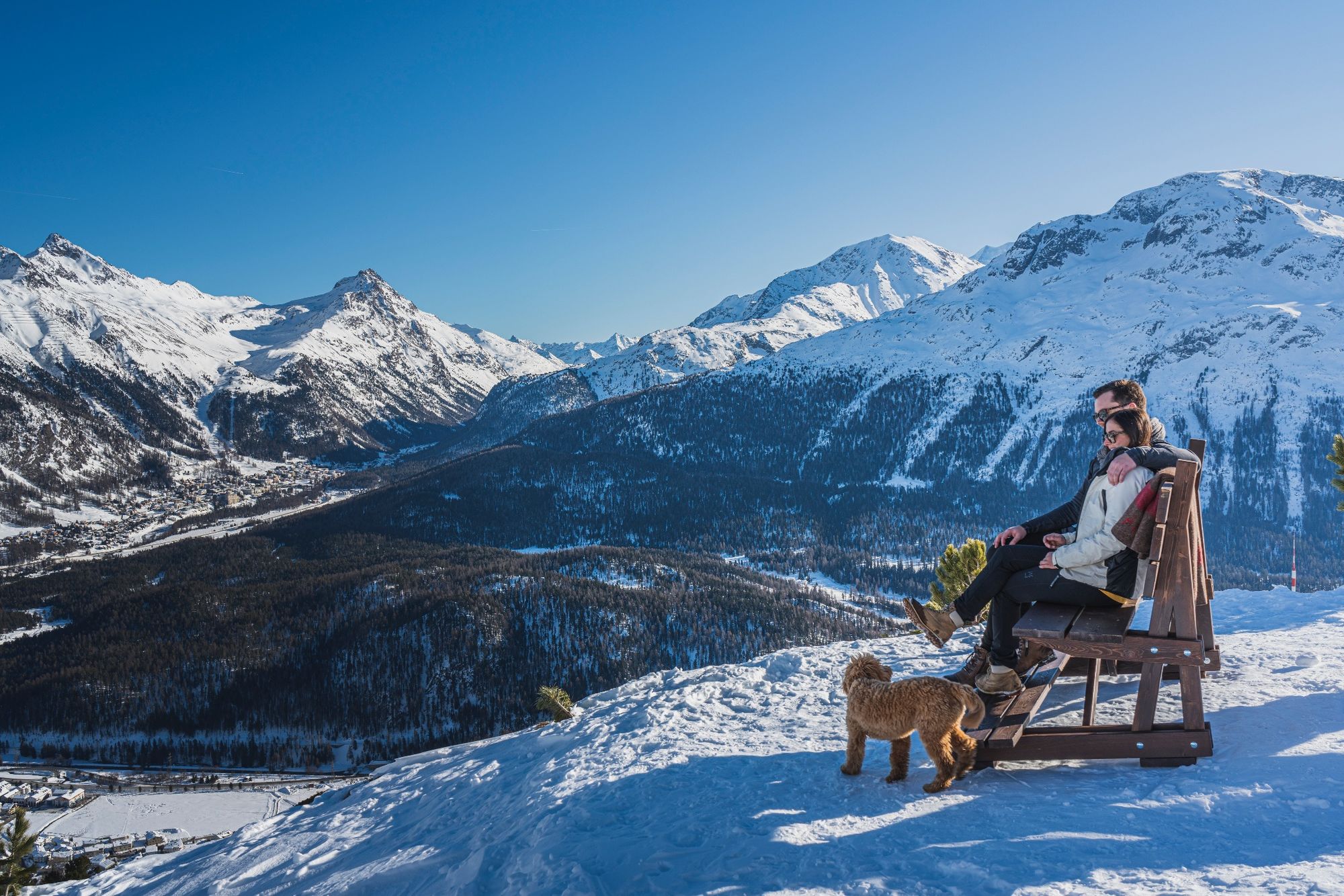
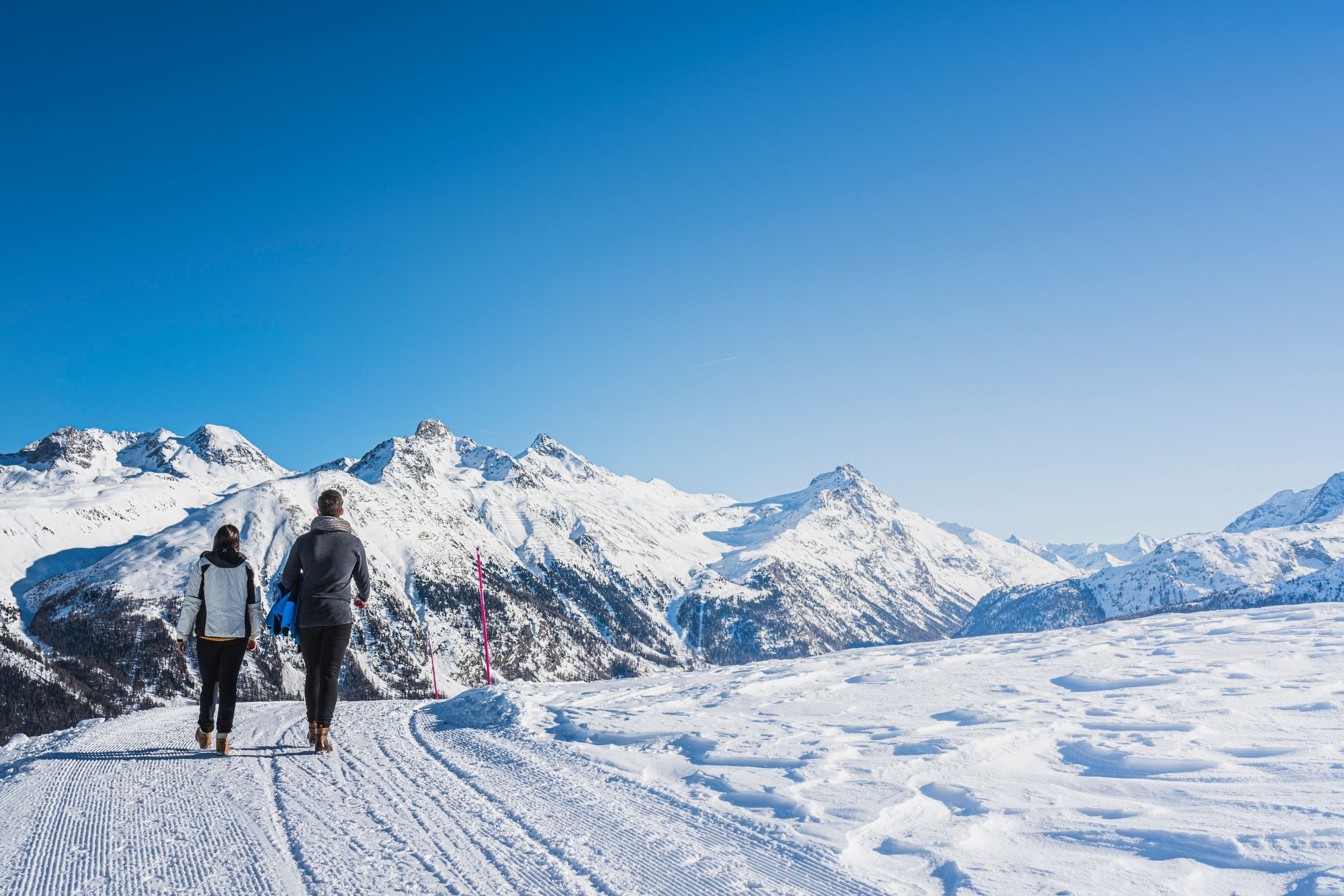
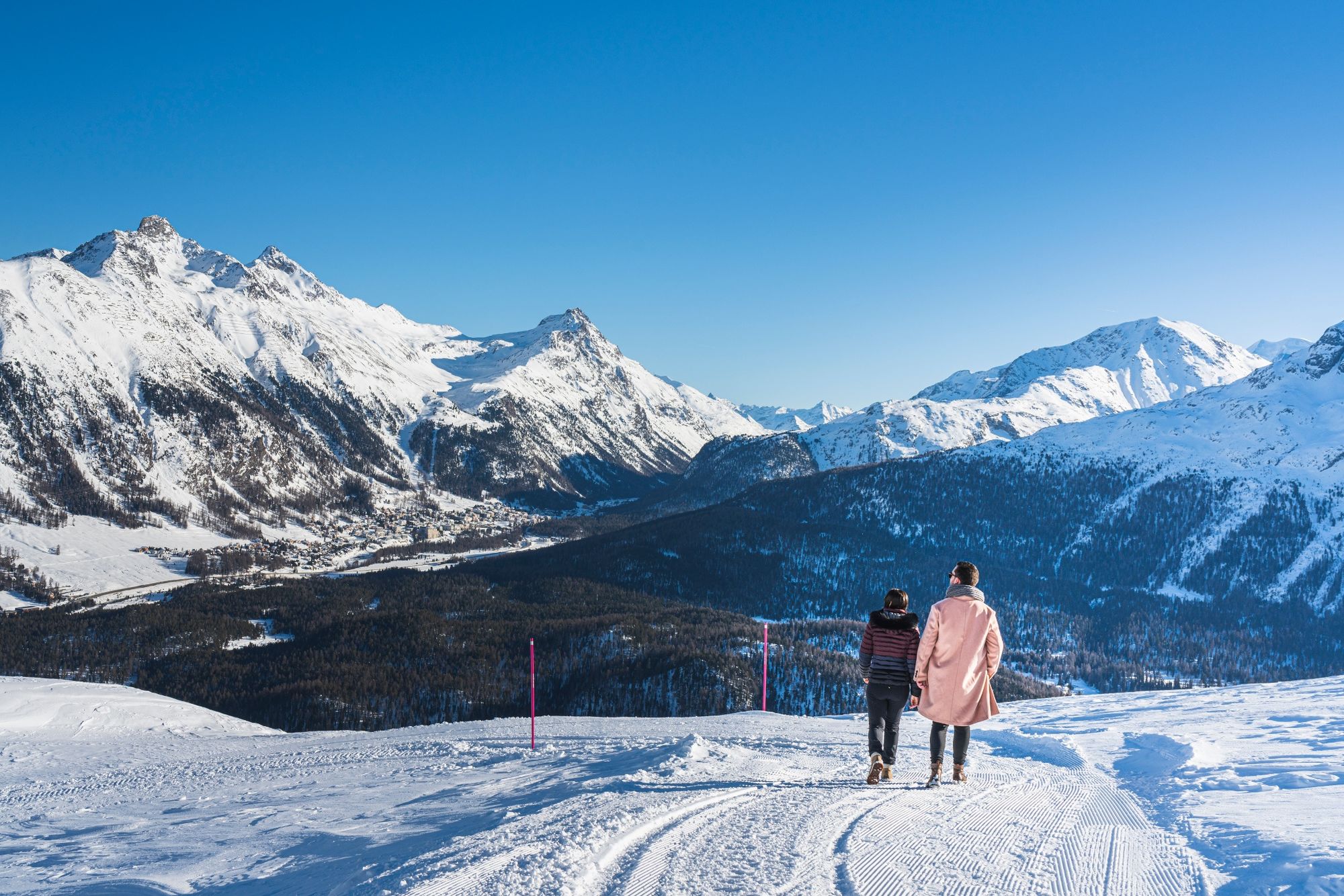
This winter hiking trail invites you to enjoy the snow-covered fairytale landscape away from the pistes. At the end of the hike, the well-earned refreshment awaits you in the Restaurant Marguns.
- Difficulty
-
medium
- Rating
-
- Starting point
-
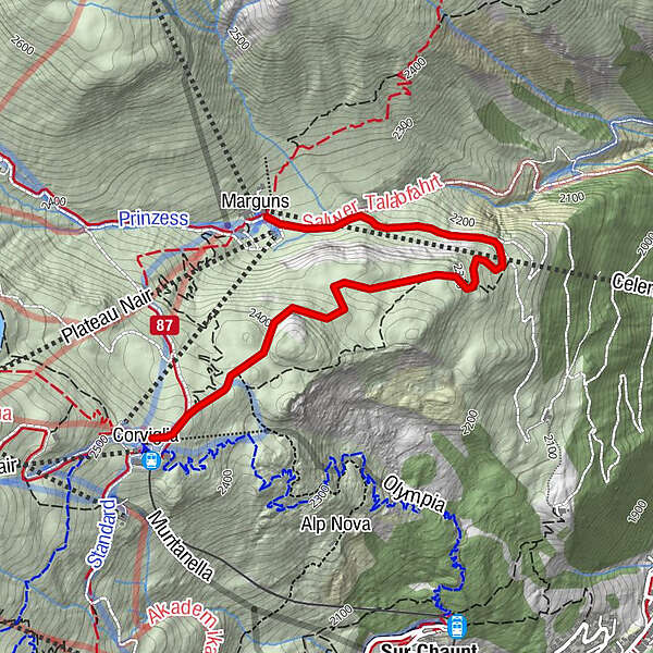
Mountain station Corviglia
- Route
-
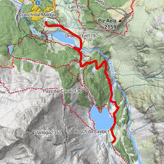
Marguns2.9 km
- Best season
-
AugSepOctNovDecJanFebMarAprMayJunJul
- Description
-
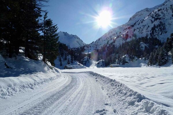
The winter hiking trail starts at the Corviglia mountain station and can easily be reached by funicular from St. Moritz village.
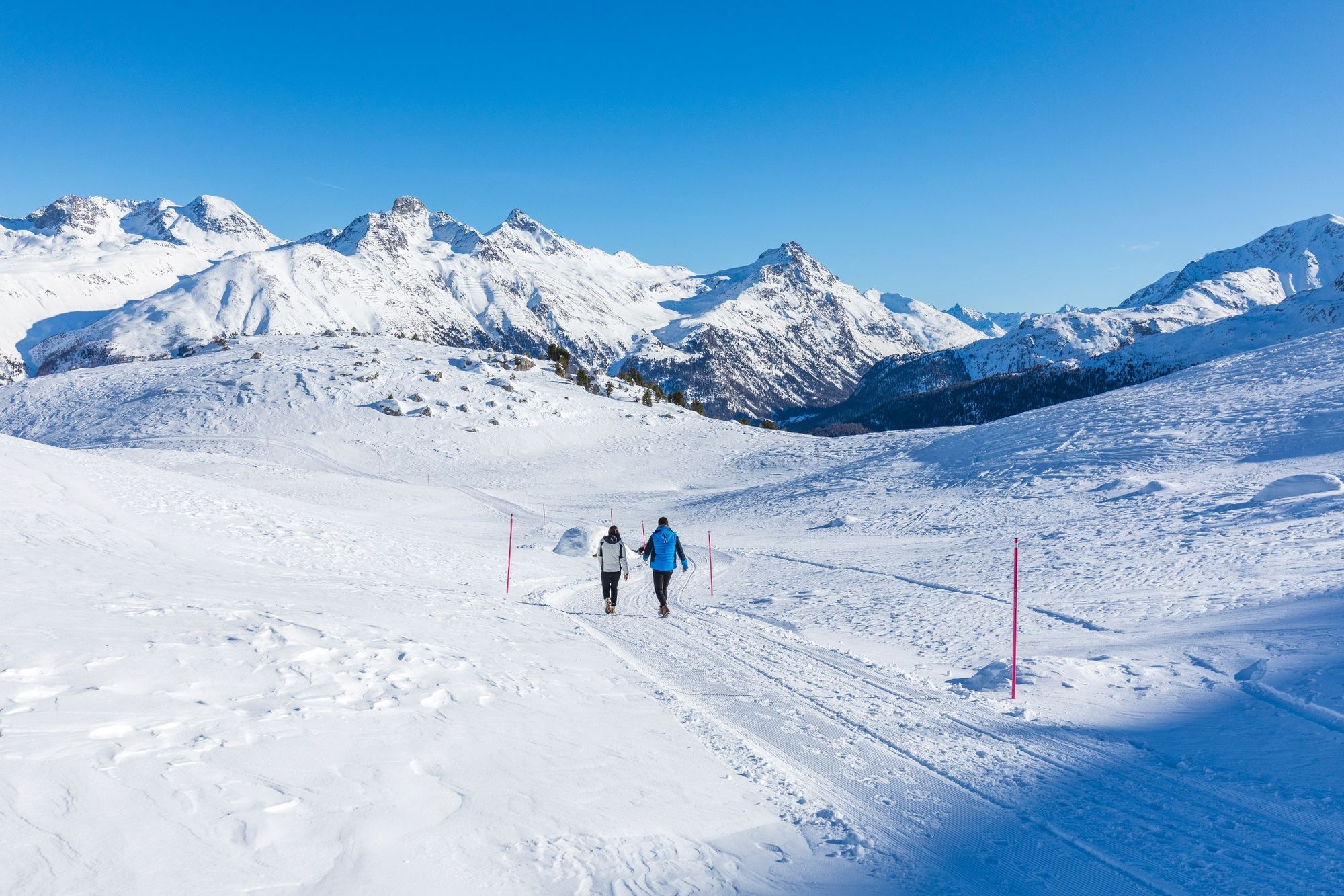
Just a few metres after the start you leave the ski area behind and soon find yourself in a magnificent winter landscape. The 3-kilometre-long trail leads mostly gently downhill and climbs just slightly at the very end. The leisurely hike takes about 1 hour.
If you want to hike for a little longer, turn right into the path from Marguns to the middle station Chantarella.
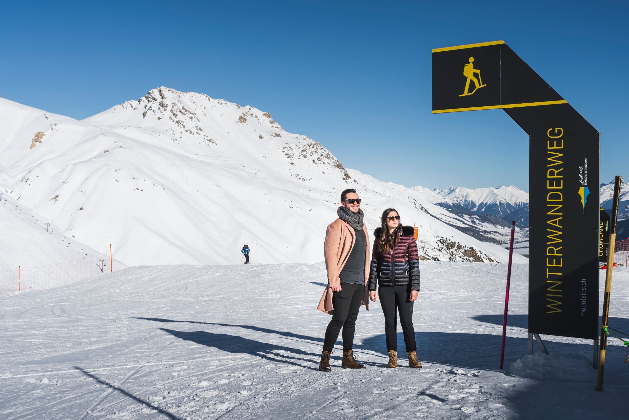
The winter hiking trails are open during the winter season, depending on snow conditions.
Note: The winter hiking trail is not a sledge run, the mountain railways do not transport sledges on Corviglia and Marguns. Exception: families are allowed to bring a sledge to pull their children along.
More information
Engadin Tourismus AG
Via Maistra 1
CH-7500 St. Moritz
Phone: +41 81 830 00 01
E-mail: allegra@engadin.ch
Internet: www.engadin.chwinter hiking trail report: www.engadin.ch/en/slopes-tracks/winter-hiking-trails/
- Highest point
- 2,479 m
- Endpoint
-
Restaurants Marguns
- Height profile
-
 © outdooractive.com
 - Public transportation
-
By train and bus to St. Moritz Schulhausplatz. After just a few metres uphill on foot, you reach the funicular bringing you comfortably up to Corviglia mountain station.


- Author
-
The tour Winter hiking trail Corviglia - Marguns is used by outdooractive.com provided.


General info
-
Veltlin / Valtellina
49
-
Engadin St. Moritz
102
-
Corviglia
53