
- Brief description
-
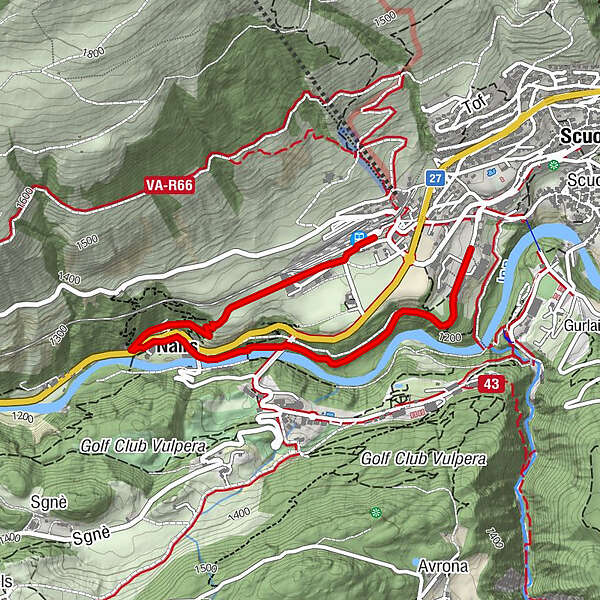
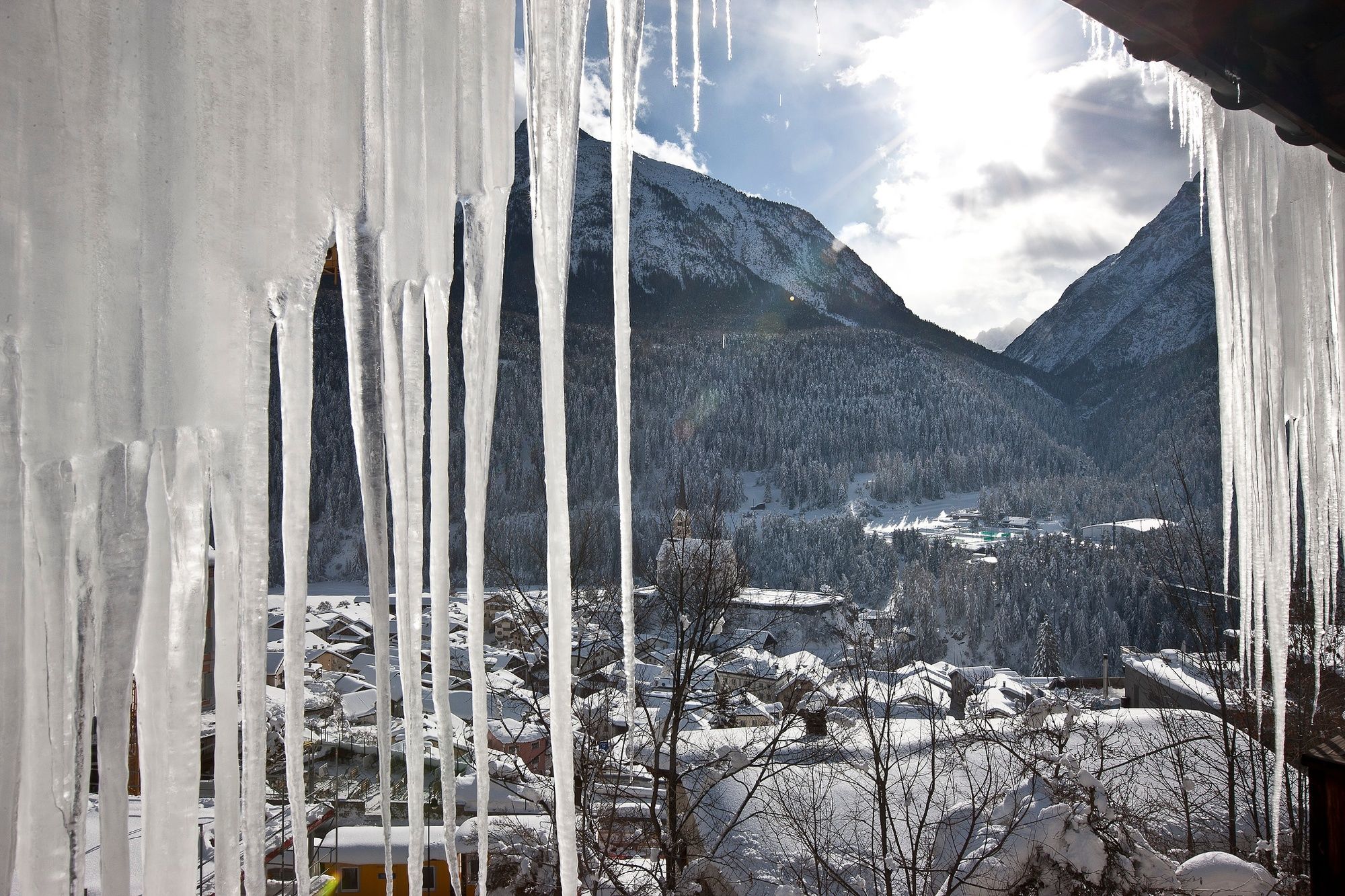
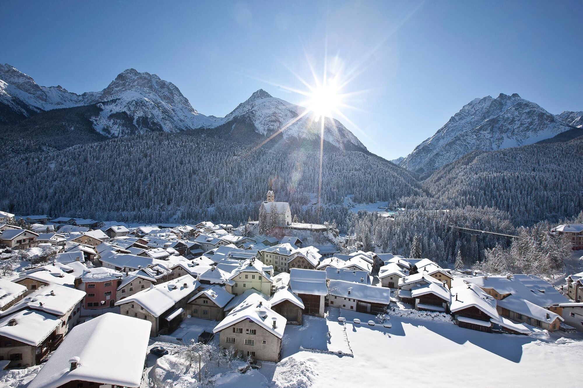
Easy, flat winter hike through the forest along the Inn River to Nairs, past the Büvetta drinking hall back to Scuol. The trail runs mostly on winter paths.
- Difficulty
-
medium
- Rating
-
- Starting point
-
PostBus stop Scuol posta
- Route
-
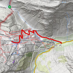
Vulpera (1,280 m)0.9 kmNairs1.6 kmScuol-Tarasp (1,287 m)3.2 km
- Best season
-
AugSepOctNovDecJanFebMarAprMayJunJul
- Description
-
From the PostAuto stop Posta, head west and turn left next to the guest information office, continue along the road and you will reach Scuol Brentsch. After about 300m along the road and with a view of the Cutüraplana plain, the winter hiking trail branches off to the left. On a slightly descending path, it goes through the forest and along the left bank of the Inn back onto the road to Nairs. Passing the small drinking hall, you catch a glimpse of the "Büvetta" on the right side of the Inn, the former drinking hall, which is now closed due to the danger of falling rocks. Shortly afterwards you are in front of the former bathhouse. The magnificent building bears witness to Scuol's centre as a spa and medicinal water tourist resort at the beginning of the 20th century. Today Nairs functions as a cultural centre for Swiss and international contemporary art. After crossing the subway, the path climbs slightly, leads through the forest and then along the railway track to Scuol station.
- Directions
-
At the end of the village at the settlement of Tulai and Brentsch downhill on the forest path along the Inn. From Nairs via Cutüraplana upwards through the forest to Scuol.
- Highest point
- 1,285 m
- Endpoint
-
Scuol-Tarasp railway station
- Height profile
-
 © outdooractive.com
 - Equipment
-
High and sturdy hiking boots or winter boots, warm clothing, sun cream, sunglasses, sunscreen, hiking poles.
- Safety instructions
-
The trail is groomed after each snowfall. Please note the condition reports in the winter sports report. The tour was assessed in favourable weather conditions, current snow and weather conditions must be noted before starting.
Emergency call:
144 Emergency call, first aid
1414 Mountain rescue REGA
112 International emergency call
- Tips
-
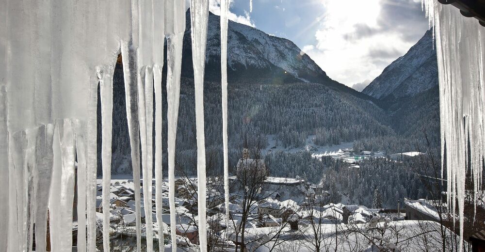
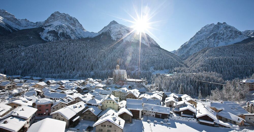
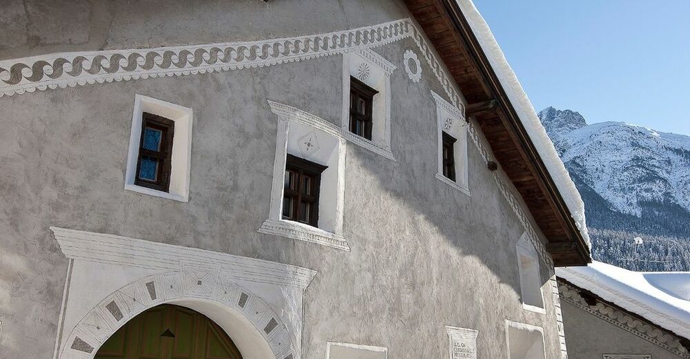
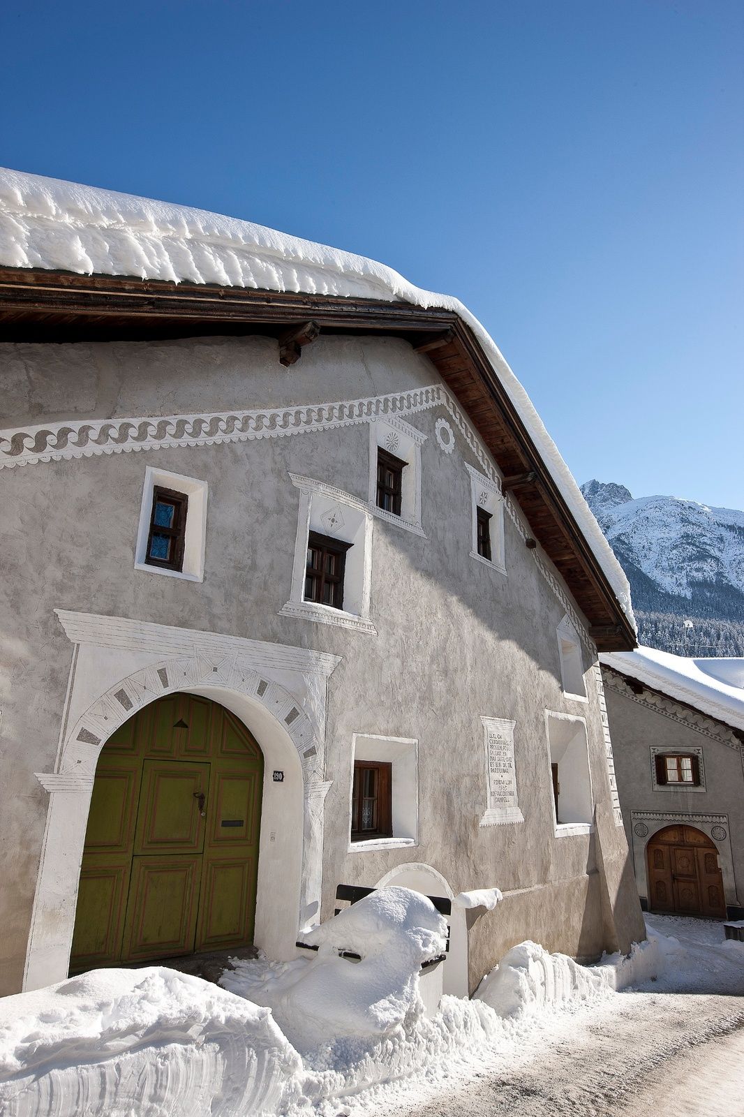
It is advisable to take a few minutes in Scuol and walk through the lower village with its traditional Engadine houses.
- Additional information
- Directions
-
- From the north: via Landquart – Klosters by car transport through the Vereina Tunnel (Selfranga – Sagliains) or via the Flüela Pass into the Lower Engadine on H27
- From the east: via Landeck / Austria in the direction of St. Moritz on H27
- From the south: via Reschenpass (Nauders-Martina) or Ofenpass (Val Müstair-Zernez) on H27
Scuol is located directly on the Engadine road H27 (20 minutes' drive from Vereina south portal)
- Public transportation
-
- With the Rhaetian Railway (from Chur, Landquart/Prättigau or Upper Engadine) hourly to Scuol-Tarasp; quarter-hourly PostBus connection to Scuol, posta
- Parking
-
- Paid parking spaces at the railway station in Scuolfree
- parking spaces «Porta» and «Punt» in Scuol Sotchargeable
- parking spaces at the mountain railwayschargeable
- parking spaces at the Coop (underground car park)
- Author
-
The tour Scuol – Brentsch – Nairs – Cutüraplana (round tour) is used by outdooractive.com provided.


General info
-
Engadin Scuol Zernez
109
-
Scuol
36