- Brief description
-
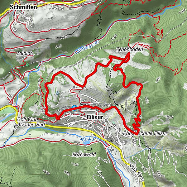
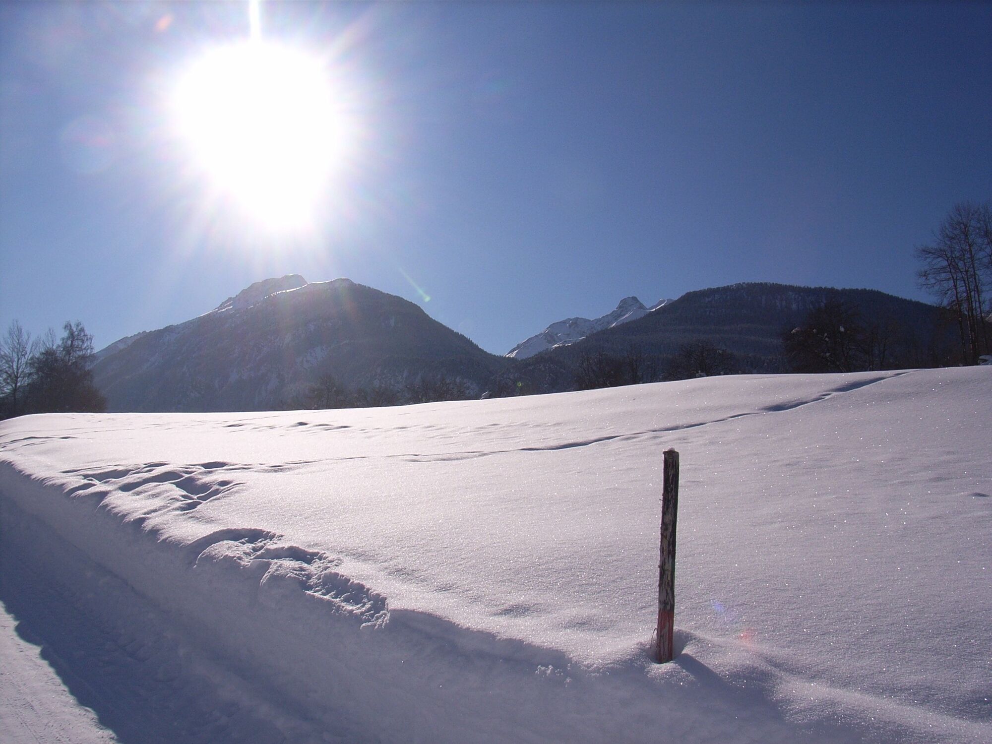
This circular hike on the sunny pastures of the former mountain pass and trading village of Filisur passes scenic Schönboden and takes you via forests to the ruins of Greifenstein Castle from which the Graubünden nobility once dominated the region.
- Difficulty
-
easy
- Rating
-
- Route
-
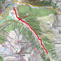
Filisur (1,080 m)s'BahnhöfliSchönboden2.6 kmFilisur (1,032 m)5.6 kms'Bahnhöfli5.8 kmFilisur (1,080 m)5.8 km
- Best season
-
AugSepOctNovDecJanFebMarAprMayJunJul
- Description
-
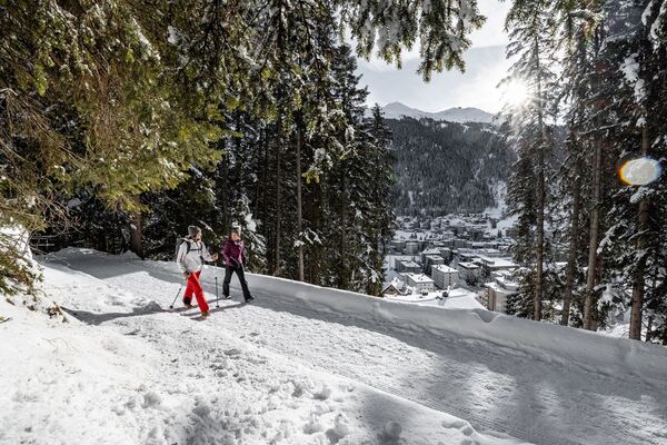
You start out from the Graubünden ribbon village of Filsur with its houses with their oriel windows and sgraffito. The village is a pleasant place to visit now that there is a bypass road. This gentle winter hike starts at the Filisur train station and takes you along a road that rises evenly as it goes through sparse forest to Schönboden. From here there is a beautiful view of Filisur and the lower Albula Valley.
On your way back, the trail leads to the ruins of Greifenstein Castle, which is perched on a rock above the Rhaetian Railway's first loop tunnel. It was once the seat of the Lords of Greifenstein consisting of Graubünden nobility dating from the 13th century. Later it was the seat of the episcopal bailiffs who had farms near the village. The return route crosses the Rhaetian Railway line twice before it ends at the train station, where you will find the charming Bahnhöfli restaurant an inviting place for some refreshments.
- Highest point
- 1,257 m
- Endpoint
-
Filisur
- Height profile
-
 © outdooractive.com
 - Directions
-
By car to Filisur, parking at the station
- Public transportation
-
With the Rhaetian Railway to Filisur
- Author
-
The tour 216 Schönboden Trail is used by outdooractive.com provided.


General info
-
Bergün Filisur
158
-
Filisur
55