- Brief description
-
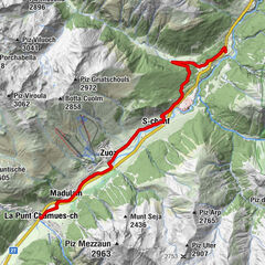
Round hike from Preda to Naz and back
- Starting point
-
Preda
- Route
-
Preda (1,789 m)Naz0.9 kmPreda2.7 km
- Best season
-
AugSepOctNovDecJanFebMarAprMayJunJul
- Description
-
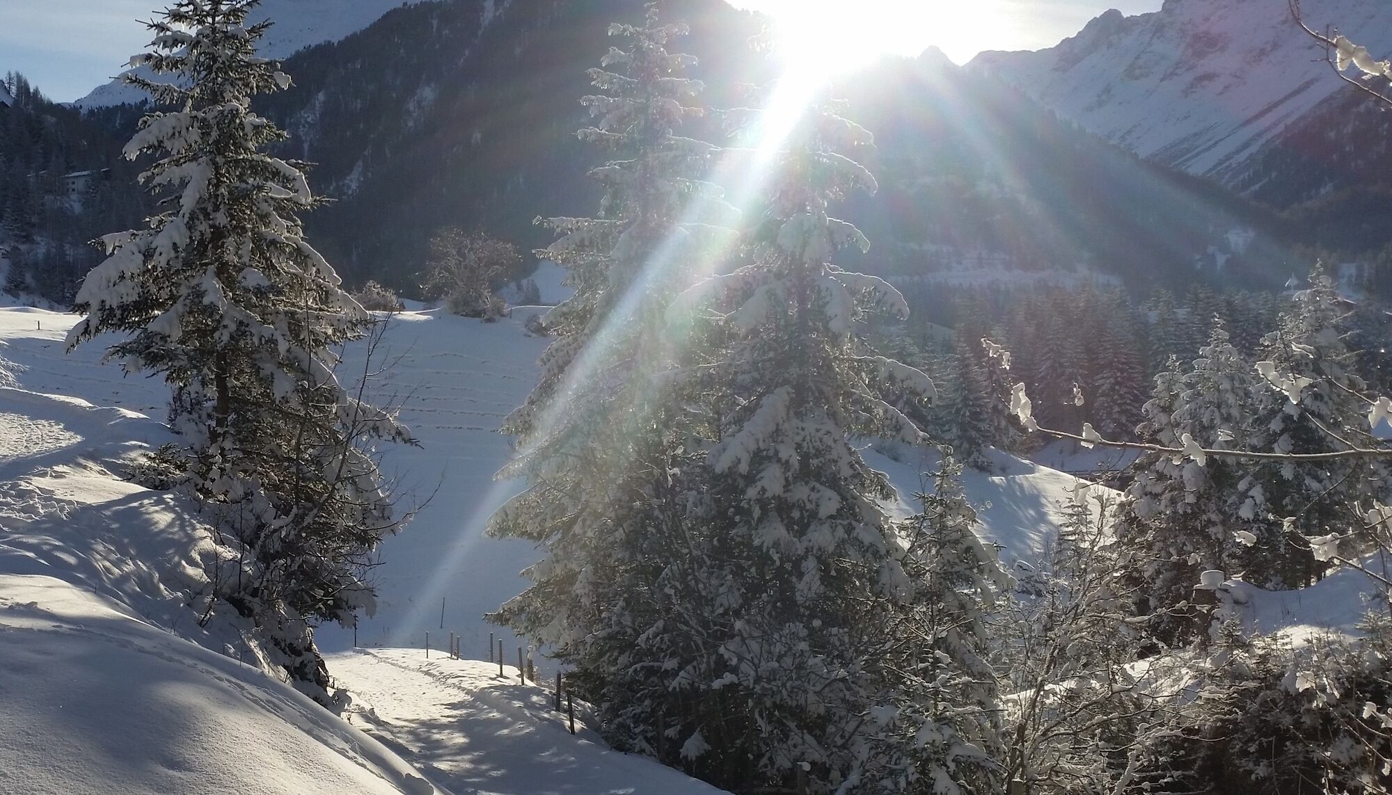
The hike starts at the Preda station and leads on the natural road to the Maiensäss settlement Naz. From there, the trail goes along the forest back to Preda. On the way there is the possibility to insert two additional loops, before you get back on the road at Pension Sonnenhof.
- Highest point
- 1,786 m
- Endpoint
-
Preda
- Height profile
-
 © outdooractive.com
 - Directions
-
In winter Preda is only accessible by train.
- Public transportation
-
Rhaetian Railway to Preda
- Author
-
The tour Preda - Naz - Preda is used by outdooractive.com provided.
GPS Downloads


Other tours in the regions
-
Bergün Filisur
158
-
Preda
45