
- Brief description
-
Through the snow-covered Stazerwald.
- Difficulty
-
easy
- Rating
-
- Starting point
-
St. Moritz train station
- Route
-
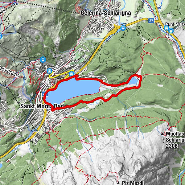
Sankt Moritz (1,822 m)Landgasthof Meierei1.2 kmHotel Restaurant Stazersee2.1 kmKirche Sankt Karl Borromäus5.3 kmSankt Moritz Bad5.6 kmSankt Moritz (1,822 m)6.4 km
- Best season
-
AugSepOctNovDecJanFebMarAprMayJunJul
- Description
-
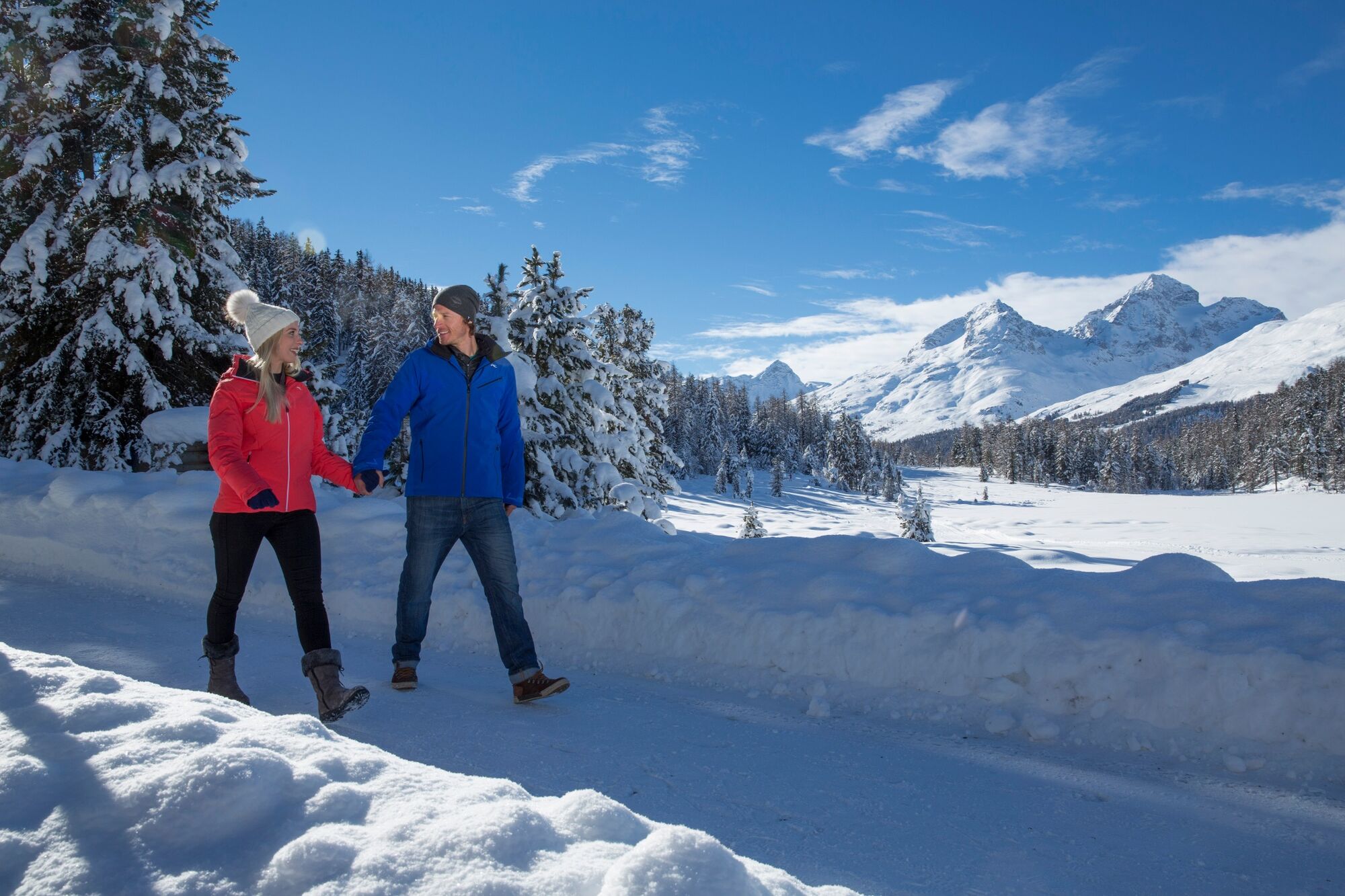
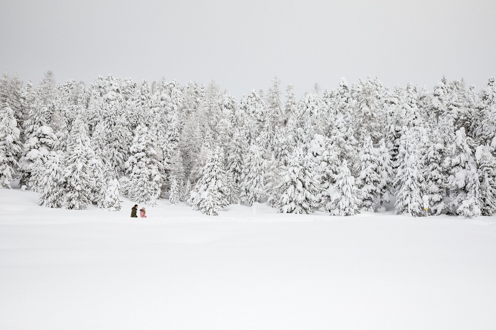
The tour starts at St. Moritz railway station and first leads along the lake to the dairy. Behind the dairy, the path continues to Lake Stazer, where you can feed the trusting birds at the bird feeding station. Around the Stazersee and through the snow-covered Stazerwald forest you come back to the lake at the Catholic church. Along the lake you return to the starting point of the tour, St. Moritz railway station.
More information
Engadin Tourismus AG
Via Maistra 1
CH-7500 St. Moritz
Phone: +41 81 830 00 01
E-mail: allegra@engadin.ch
Internet: www.engadin.chCondition of the winter hiking trails: https://www.engadin.ch/winter-hiking-trails/
- Directions
-
St. Moritz train station - Meierei - Stazersee - St. Moritz Bad - St. Moritz train station
- Highest point
- 1,834 m
- Endpoint
-
St. Moritz train station
- Height profile
-
 © outdooractive.com
 - Tips
-
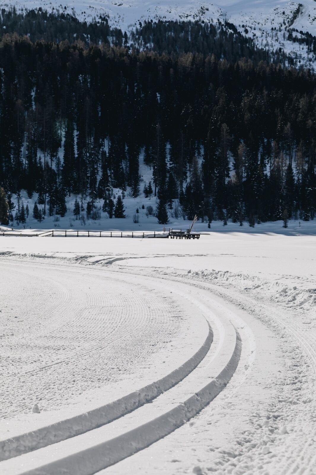
If the paths on the lake are marked and prepared, you can also walk across Lake St. Moritz.
- Author
-
The tour St. Moritz-Stazersee-St. Moritz is used by outdooractive.com provided.
GPS Downloads


General info
Refreshment stop
Fauna
A lot of view
Other tours in the regions
-
Veltlin / Valtellina
49
-
Engadin St. Moritz
102
-
Corviglia
53