
- Brief description
-
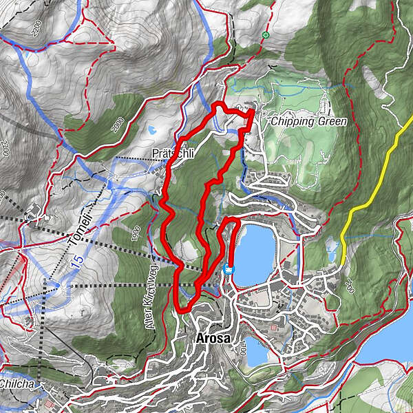
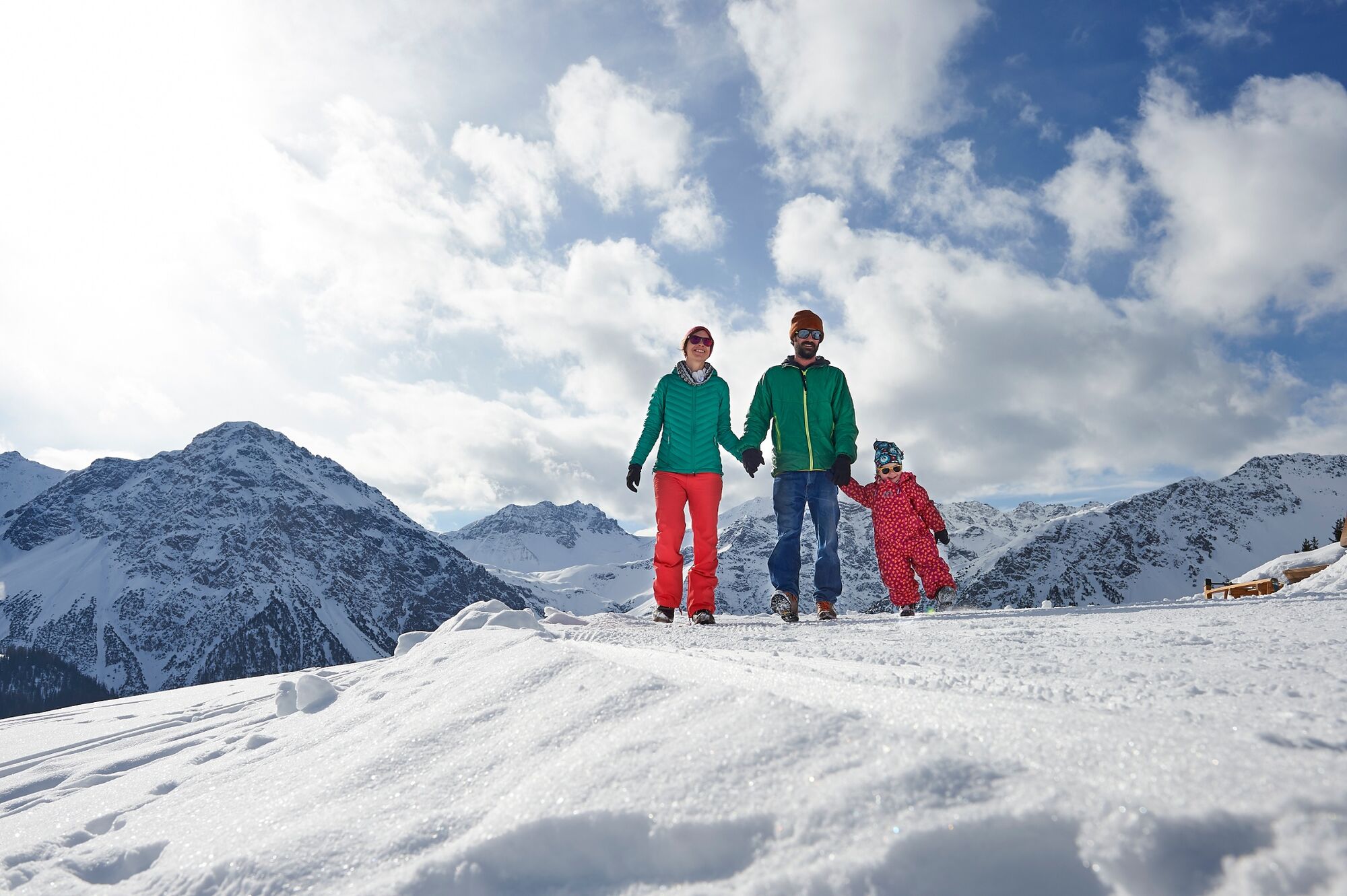
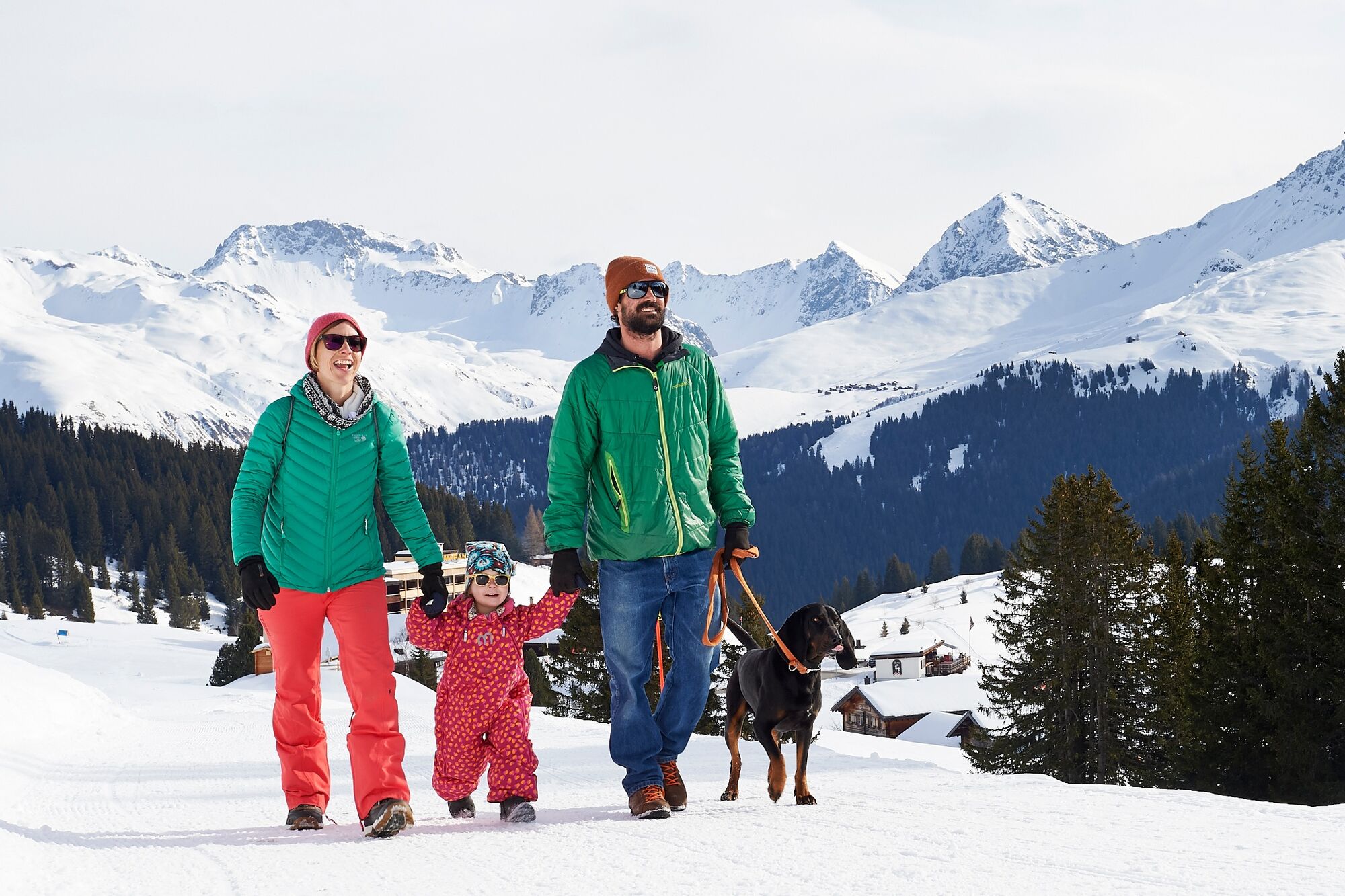
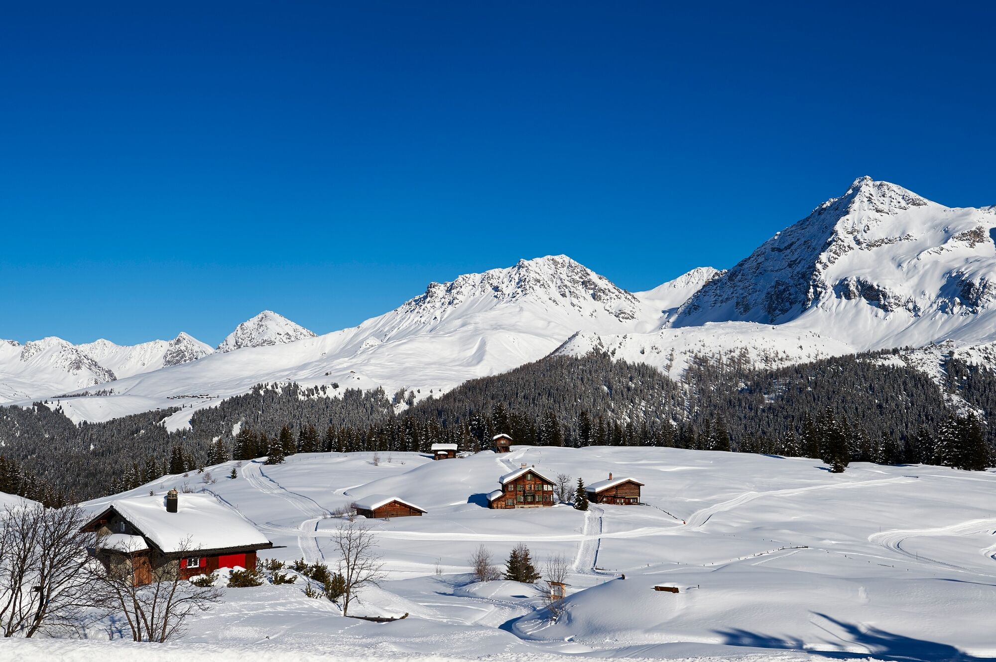
Starting in Arosa the trail leads through the forest all the way up to Prätschli. Enjoy the fresh air and the incredible view. Then the trail heads back down via Maran and the squirrel trail.
- Difficulty
-
easy
- Rating
-
- Starting point
-
Train station Arosa
- Route
-
Arosa (1,739 m)Arosa (1,739 m)1.0 kmPrätschli2.1 kmMaran (1,862 m)3.0 km
- Best season
-
AugSepOctNovDecJanFebMarAprMayJunJul
- Description
-
Take the road behind the train station that leads to the Waldhotel. Turn right into the forest and keep ascending until you reach the highest point of the tour at Prätschli. Behind the Prätschlistall (stable) the trail heads back down to Maran. If you wish to prolong the tour you may chose the trail via the Maran Hüschi. Once in Maran it is recommended to take a break at the cheese making factory Maran or the restaurant Iisblatere. The last section to the village passes along the squirrel trail. If you bring some nuts you might be able to feed the cute animals. An experience for the whole family!
- Directions
-
Train Station Arosa - Waldhotel National - Scheitenböden - Prätschli - Maran - Squirrel Trail - Train Station Arosa
- Highest point
- 1,902 m
- Endpoint
-
Train station Arosa
- Height profile
-
 © outdooractive.com
 - Equipment
-
Sturdy shoes.
- Tips
-
Buy some cheese at the cheese making Maran to take back home.
- Directions
- Public transportation
- Parking

- Author
-
The tour Arosa – Prätschli – Maran – Arosa is used by outdooractive.com provided.


General info
-
Heidiland
216
-
Arosa Lenzerheide
156
-
Hochwang
59