

- Brief description
-
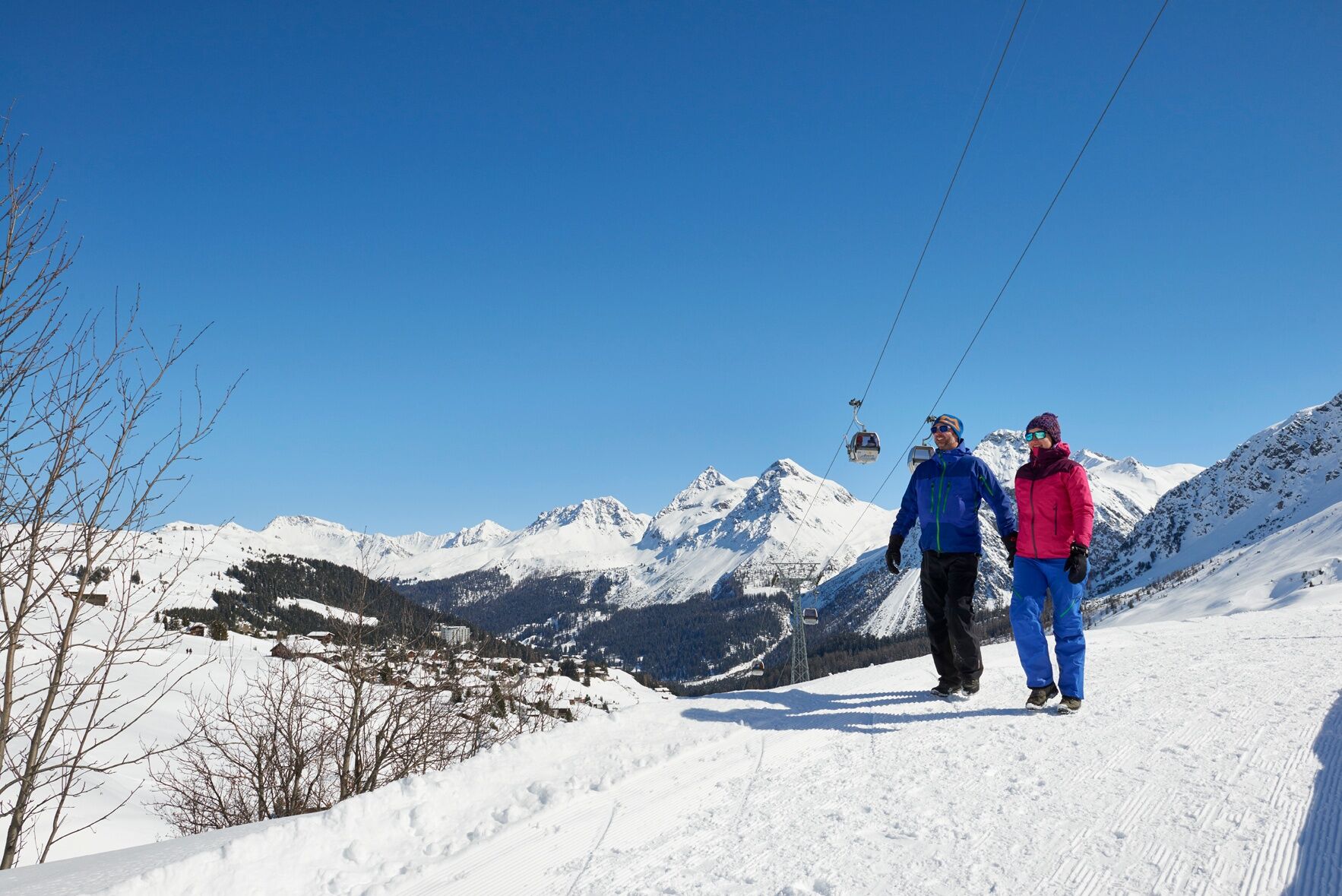
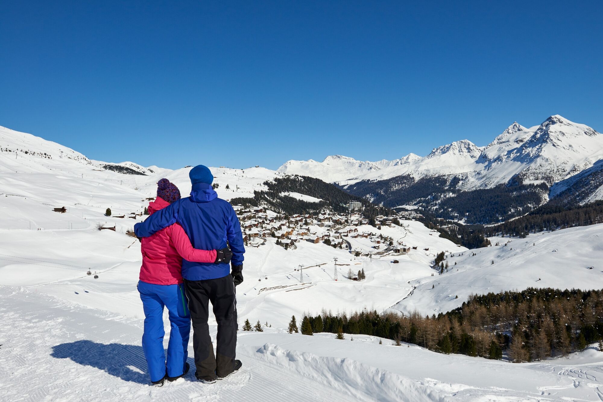
Easy hike without any major ascents to the popular Schwellisee lake and Alpenblick.
- Difficulty
-
medium
- Rating
-
- Starting point
-
Innerarosa
- Route
-
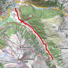
Innerarosa (1,820 m)0.3 kmAlpenblick2.5 km
- Best season
-
AugSepOctNovDecJanFebMarAprMayJunJul
- Description
-
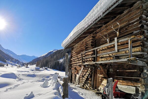
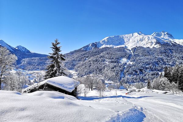
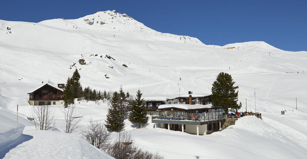
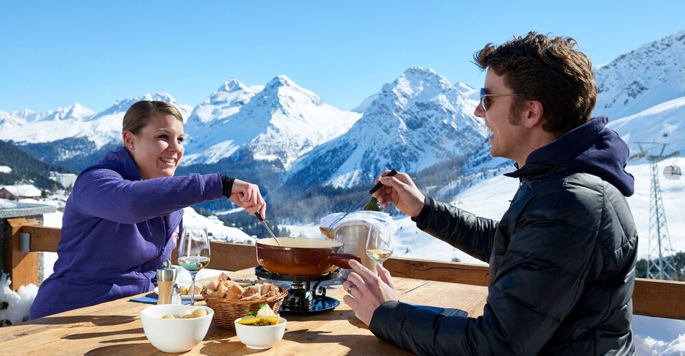
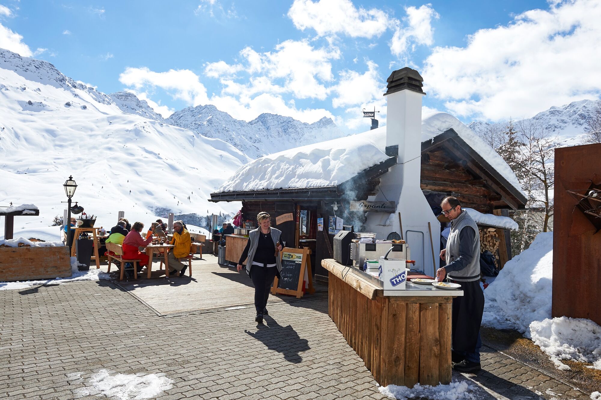
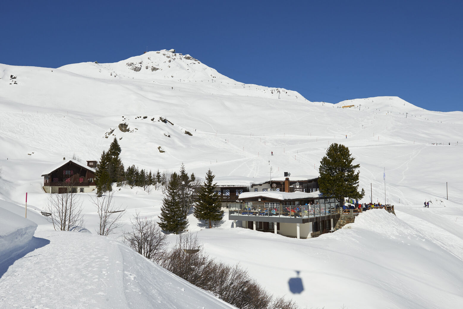
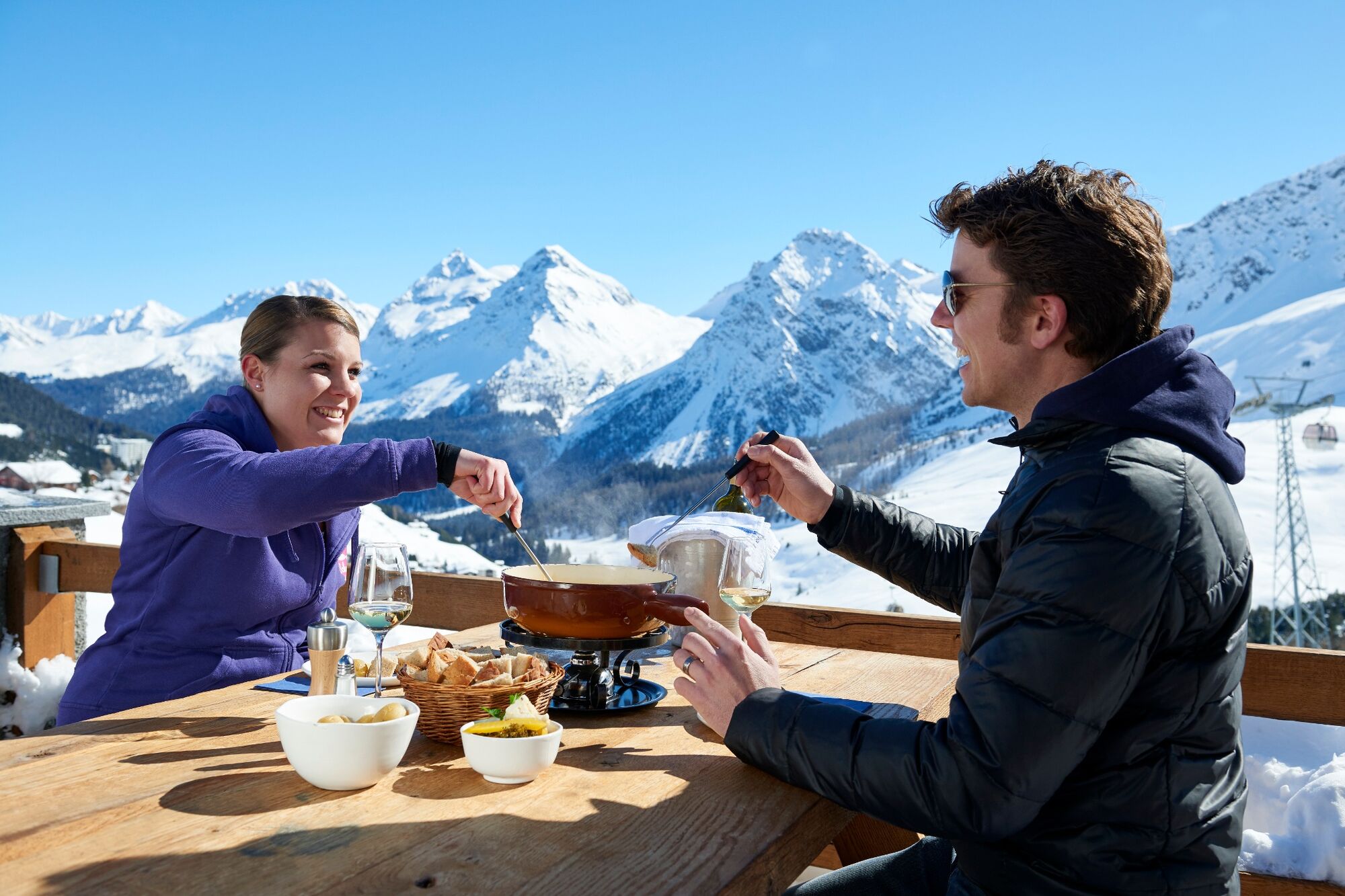
From Innerarosa, the trail leads past snow-covered winter landscapes to the Schwellisee lake. The Plessur flows through the Schwellisee, which was formed by a landslide from the Schafrügg. The area around the Schwellisee was once surrounded by a pine forest, which the Walsers cleared. Above the lake, individual stone pines bear witness to that time. The trail continues to the Alpenblick mountain restaurant and then back to Innerarosa. From there it is worth making a detour to the Bergkirchli, the oldest building in Arosa. On the sunny wooden benches you can also enjoy the panorama with the Erzhorn and Arosa Rothorn. From the church it is not far to the local history museum in the Eggahuus, a knitted building built around 1600. The local history collection includes a weaving room, stuffed animals and a "sports section" with old skis and sledges.
- Directions
-
Innerarosa - Schwellisee lake - Alpenblick - Innerarosa
- Highest point
- 1,965 m
- Endpoint
-
Innerarosa
- Height profile
-
 © outdooractive.com
 - Equipment
-
Sturdy shoes, winter walking sticks an advantage. Weather-dependent clothing is recommended.
- Safety instructions
- Tips
-
Visit Alpenblick
- Directions
-
Once you arrive in Chur, follow the sign posts "Arosa".
- Public transportation
- Parking
-
Parking garage Innerarosa/Brüggli or car park Hörnli
- Author
-
The tour Innerarosa – Schwellisee lake – Alpenblick – Innerarosa is used by outdooractive.com provided.


General info
-
Arosa Lenzerheide
156
-
Hochwang
59