


- Brief description
-
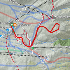
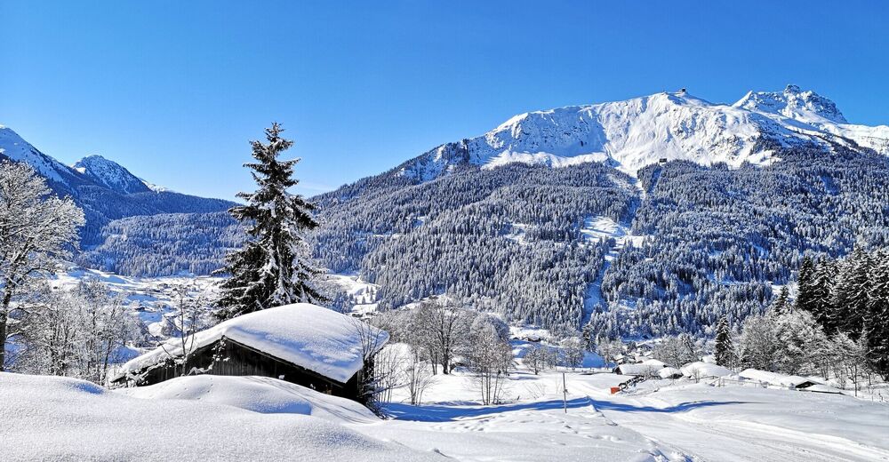
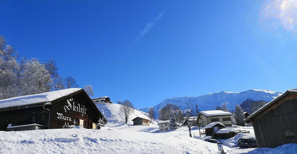
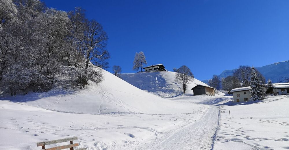
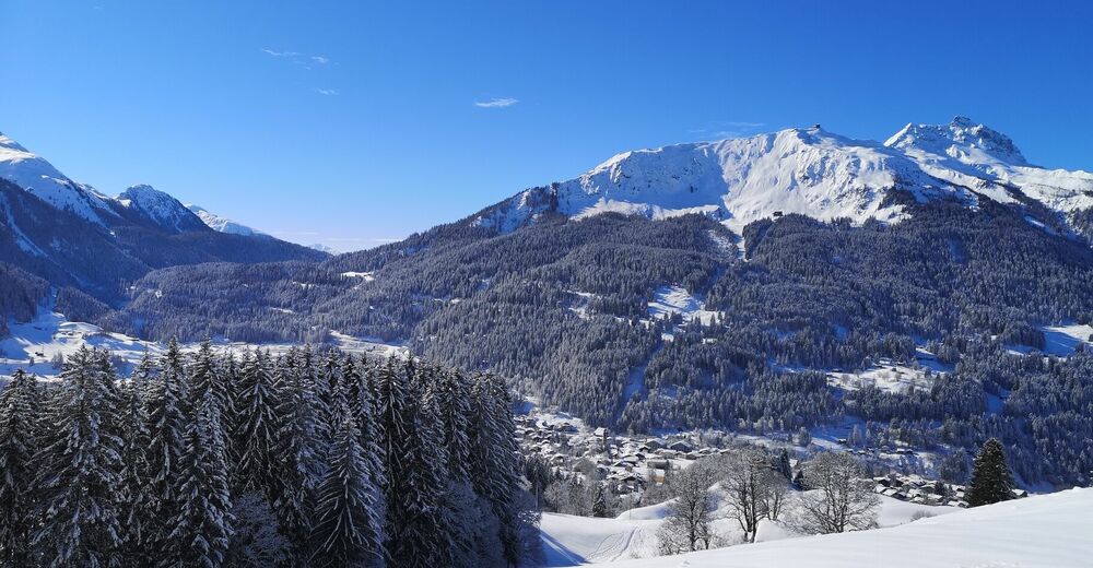
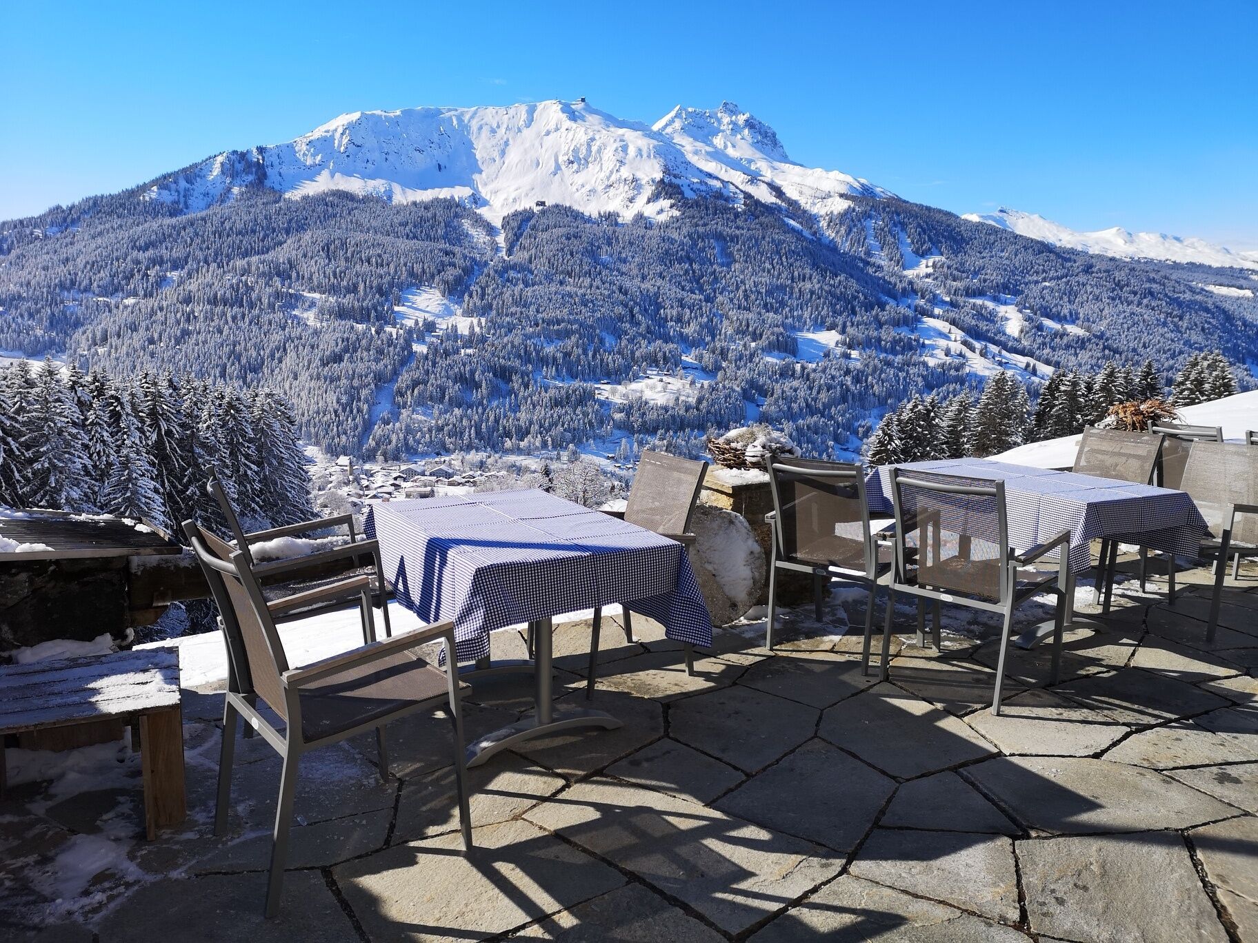
Winter hike from Klosters Platz to Berghaus Alpenrösli and back to Klosters, with fantastic views over the entire Prättigau. If you have your toboggan with you, you can enjoy a speedy ride back down into the valley.
- Difficulty
-
medium
- Rating
-
- Starting point
-
Hotel Sport
- Route
-
Berghaus Alpenrösli Klosters2.0 km
- Best season
-
AugSepOctNovDecJanFebMarAprMayJunJul
- Description
-
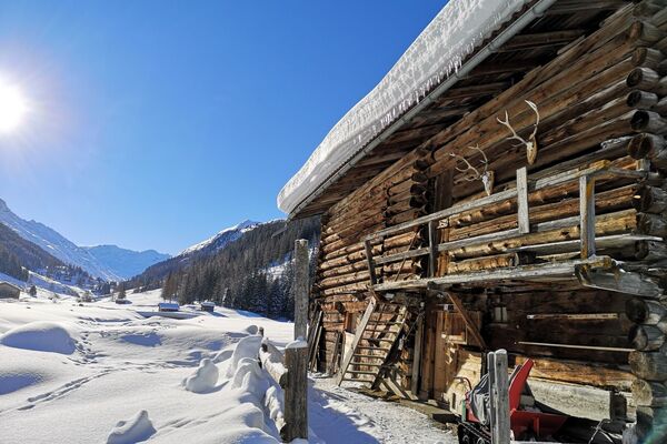
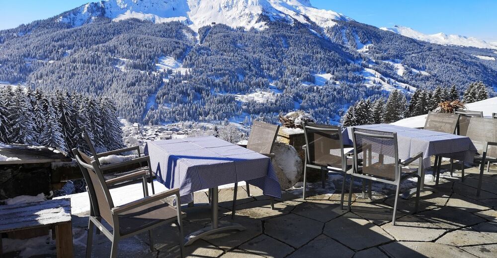
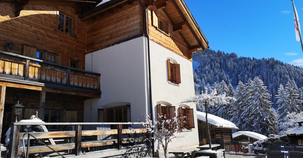
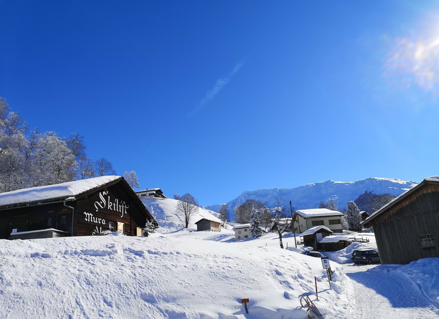
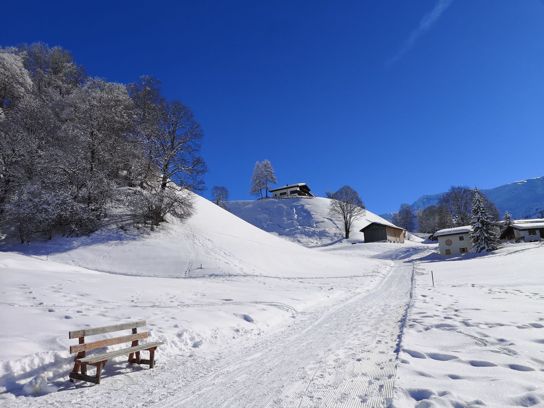
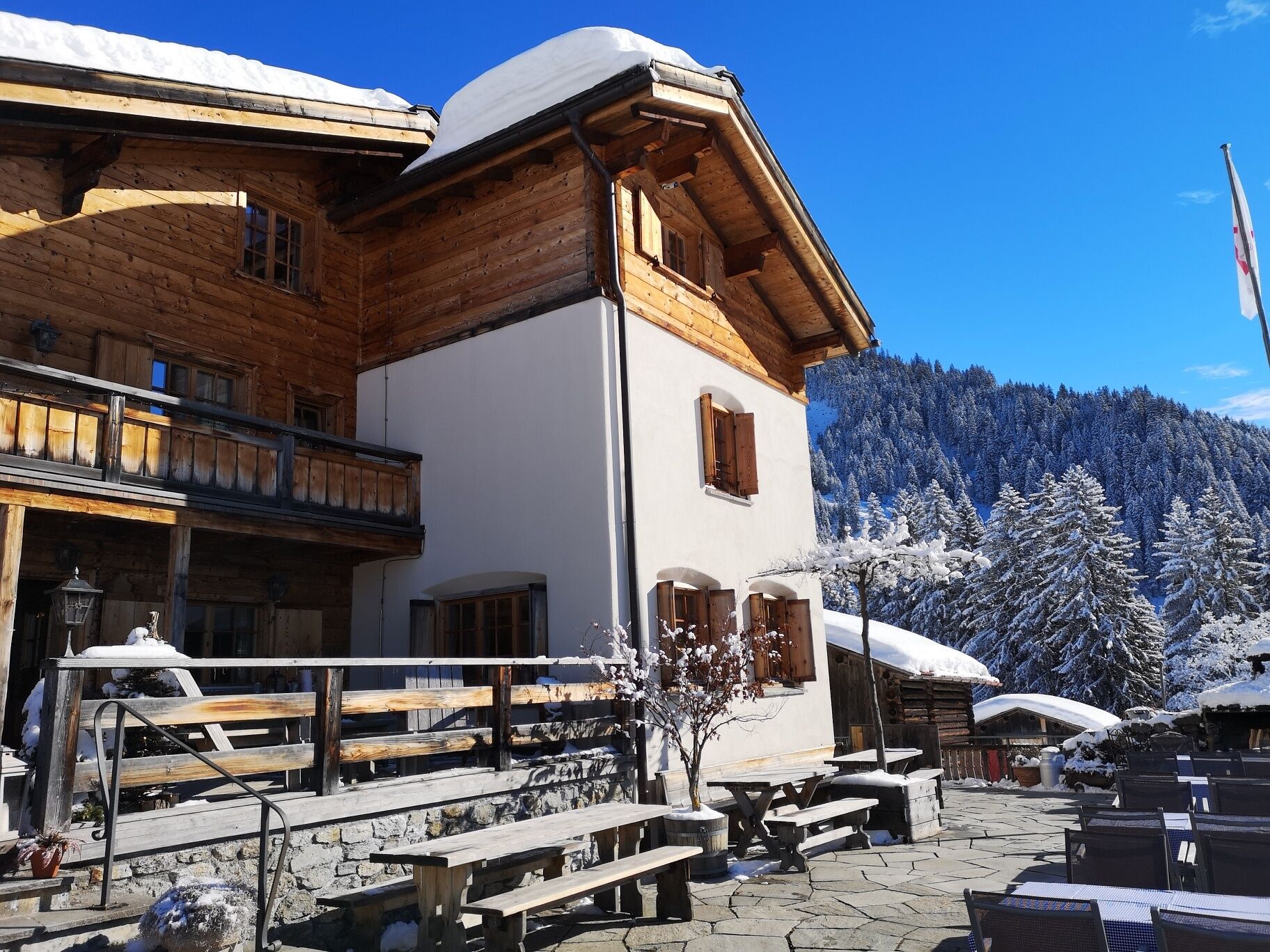
The winter hike starts at the Hotel Sport bus stop in Klosters and leads slightly uphill via Mura and Pardels to the highest point of the tour - the beautifully situated Alpenrösli mountain restaurant. A fantastic view over the entire Prättigau and freshly prepared regional specialities invite you to relax and enjoy. Strengthened, you then take the same path through the winter landscape back to the starting point, where the beautiful winter hike ends after just about 2 hours of walking.
- Directions
-
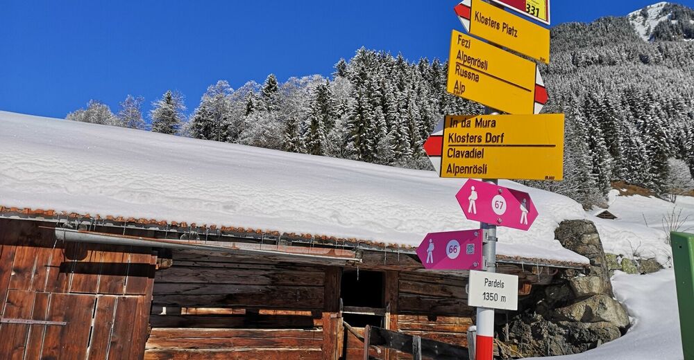
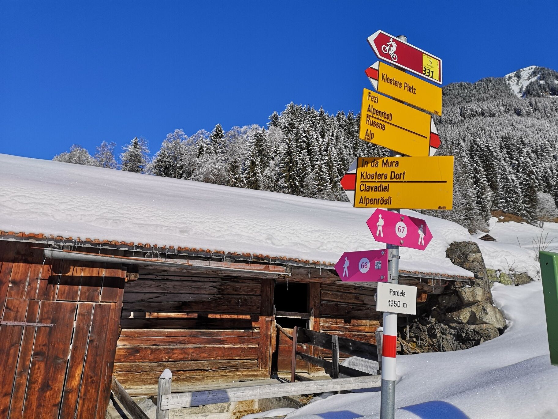
Hotel Sport - Mura - Pardels - Alpenrösli - Pardels - Mura - Hotel Sport
- Highest point
- 1,447 m
- Endpoint
-
Hotel Sport
- Height profile
-
 © outdooractive.com
 - Tips
-
Alternatively, you can also start the winter hike from the Heid (Kath. Kirche bus stop) or from the Fuchsfarm (Fuchsfarm bus stop).
- Directions
-
By car to Klosters
- Route 28 Landquart - Klosters
- Public transportation
-
By public bus to Klosters, Hotel Sport (line 231).
- Parking
-
Public car parks/parking garages in Klosters


-

-
AuthorThe tour Alpenrösli is used by outdooractive.com provided.


General info
-
Davos Klosters
128
-
Klosters
29