© Engadin Tourismus AG - F. Zuan

- Brief description
-
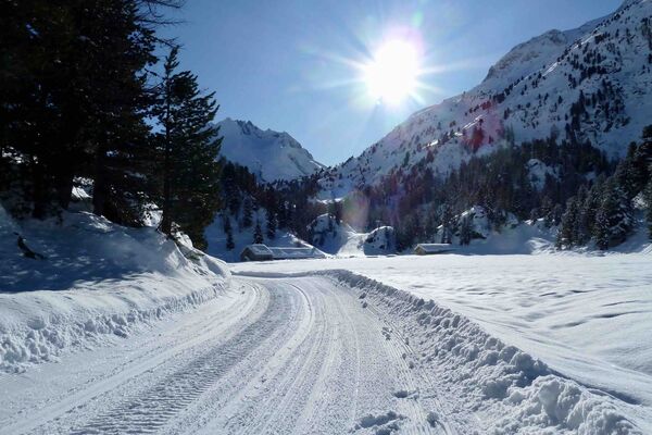
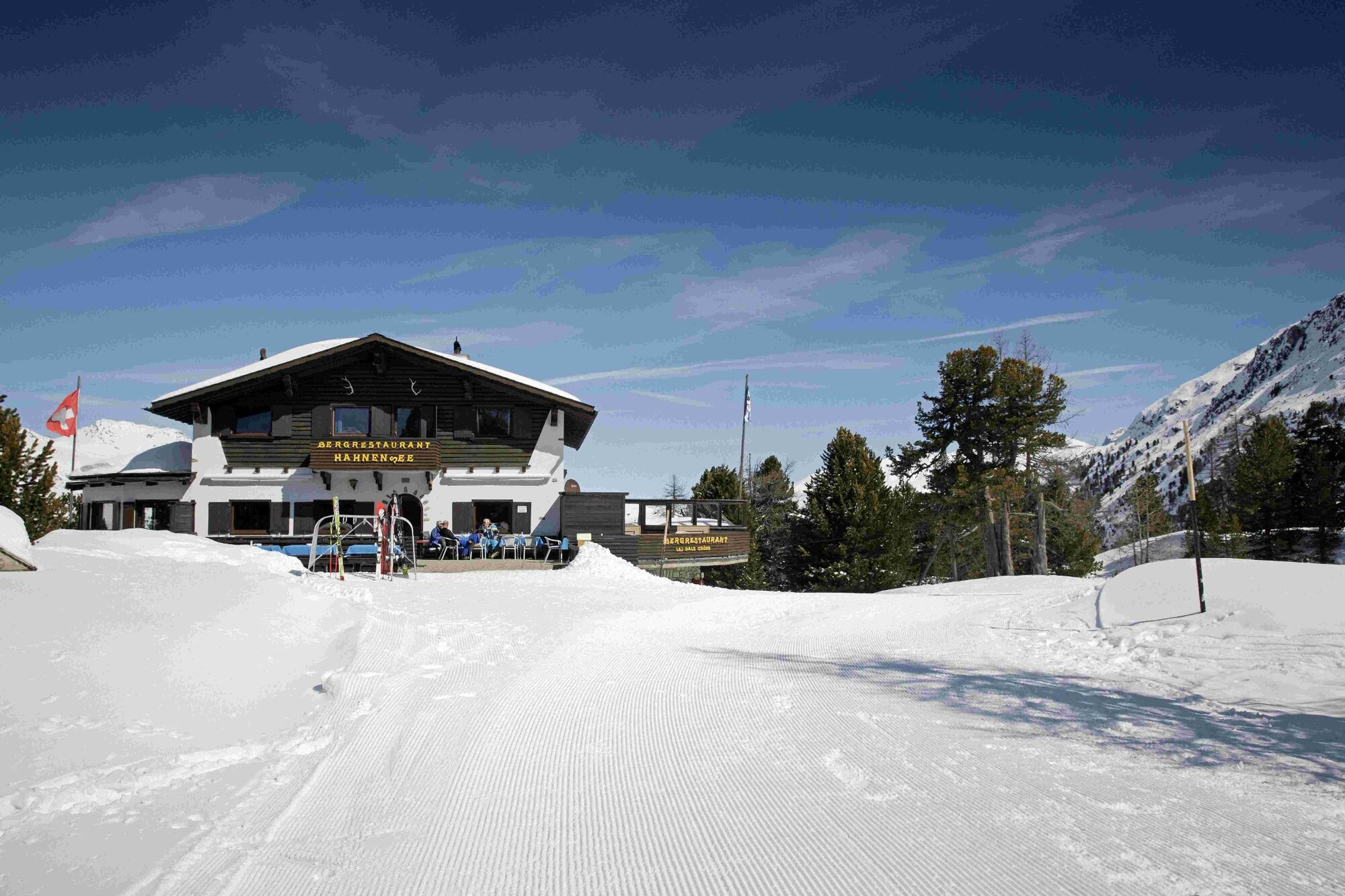
The ascent to Hahnensee is rewarded with a beautiful view of the Engadin.
- Difficulty
-
difficult
- Rating
-
- Starting point
-
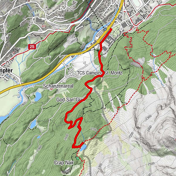
St. Moritz Bad
- Route
-
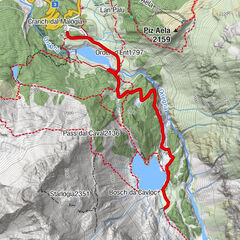
Hahnensee3.1 km
- Best season
-
AugSepOctNovDecJanFebMarAprMayJunJul
- Description
-
Behind the Kempinski Grand Hotel des Bain, the hiking trail first leads up along the Hahnensee downhill slope before zigzagging in increasingly narrow and steep zigzags through the snow-covered forest up to Hahnensee. Return along the same path.
More information
Engadin Tourismus AG
Via Maistra 1
CH-7500 St. Moritz
Phone: +41 81 830 00 01
E-mail: allegra@engadin.ch
Internet: www.engadin.chwinter hiking trail report: www.engadin.ch/en/slopes-tracks/winter-hiking-trails/
- Directions
-
St. Moritz Bad - God San Gian - Hahnensee - St. Moritz Bad
- Highest point
- 2,147 m
- Endpoint
-
St. Moritz Bad
- Height profile
-
 © outdooractive.com
 - Tips
-
Put on good shoes, the last section is only prepared with shovels. Depending on the condition of the winter hiking trail, hiking sticks and crampons are also an advantage.
- Author
-
The tour St. Moritz - Hahnensee is used by outdooractive.com provided.
GPS Downloads


General info
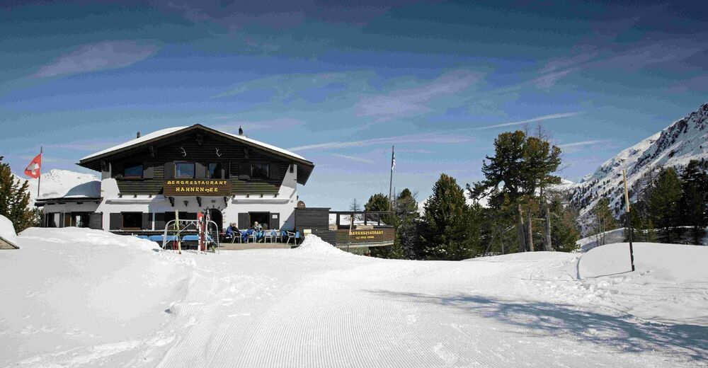
Refreshment stop
A lot of view
Other tours in the regions
-
Veltlin / Valtellina
49
-
Engadin St. Moritz
102
-
Corviglia
53