© Sils Tourismus - Gian Giovanoli

© Sils Tourismus - Filip Zuan

© Sils Tourismus - Filip Zuan

© Sils Tourismus - Filip Zuan

- Brief description
-
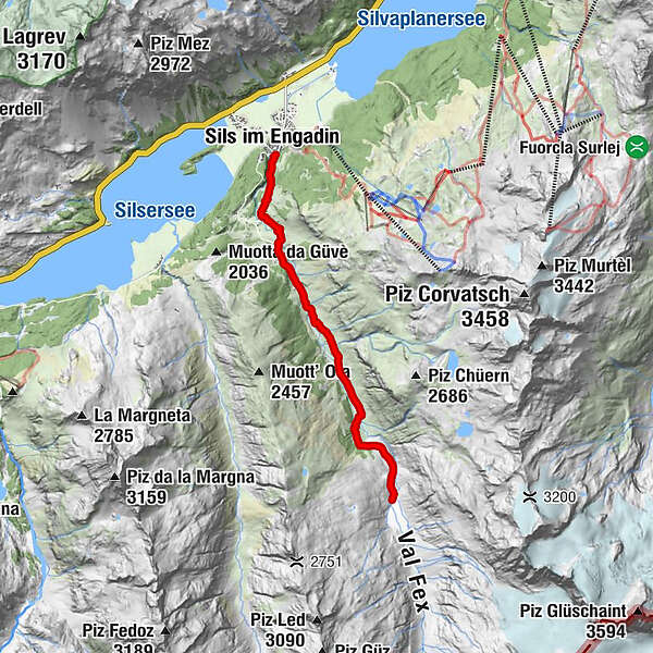
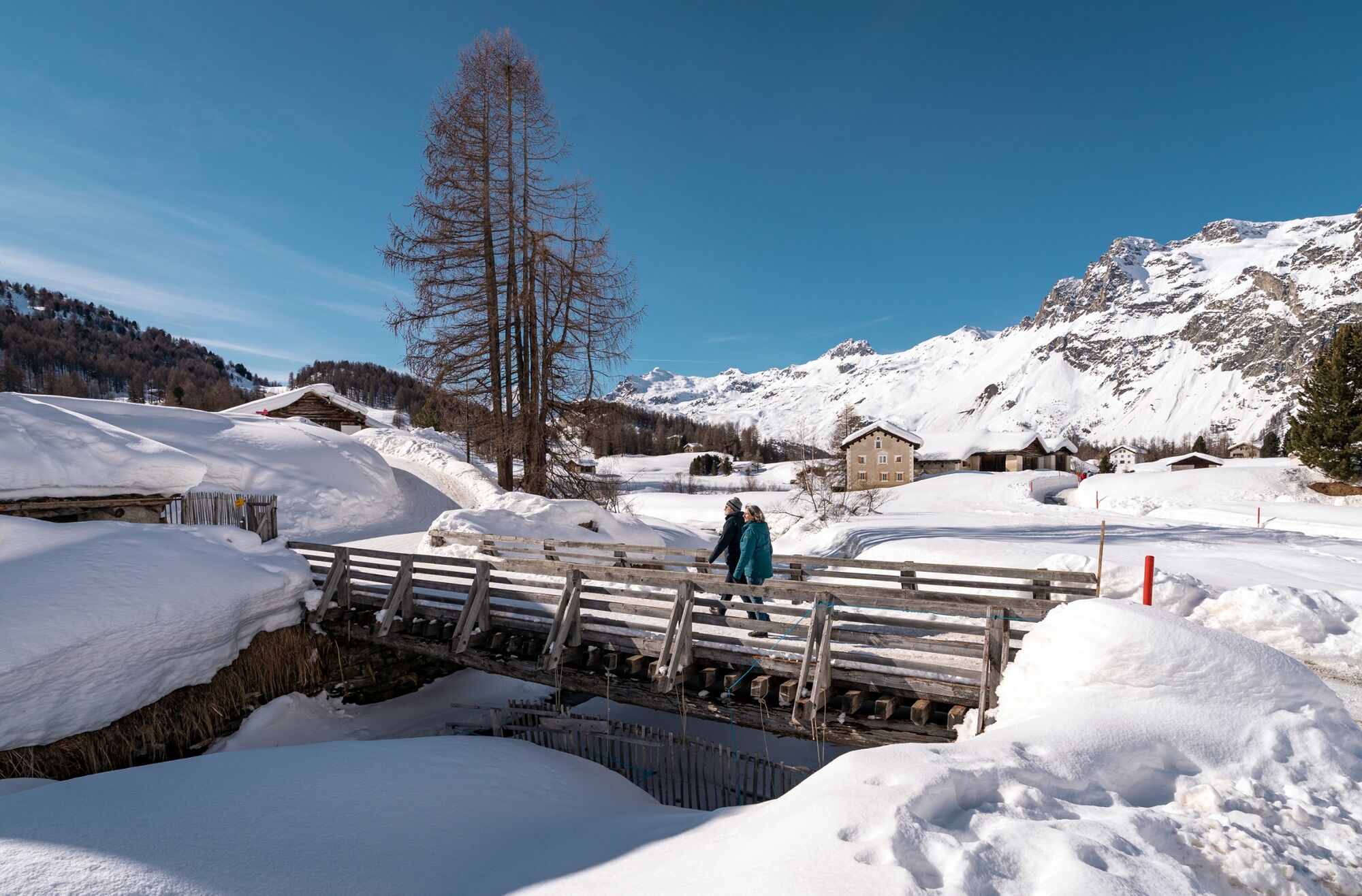
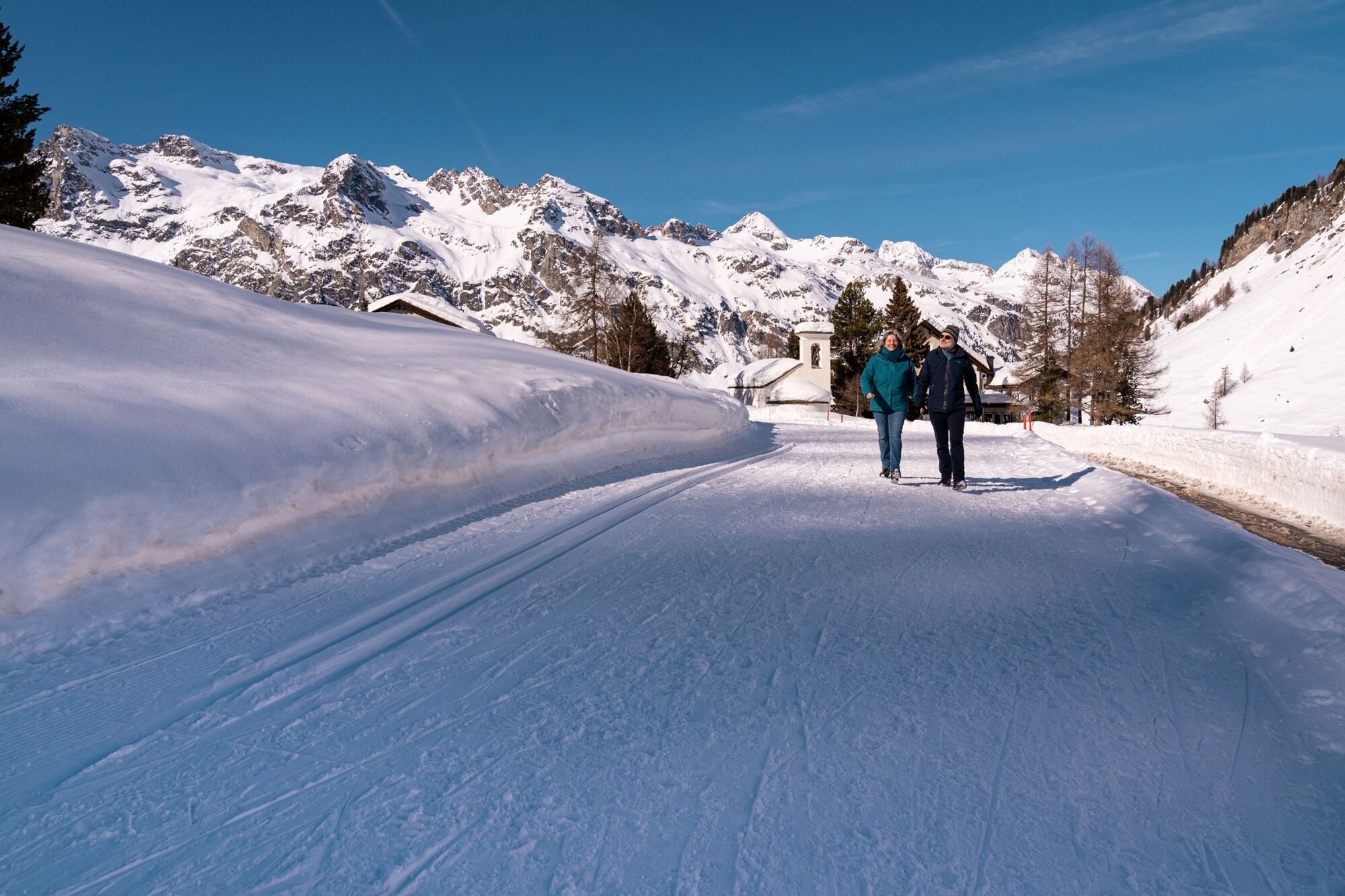
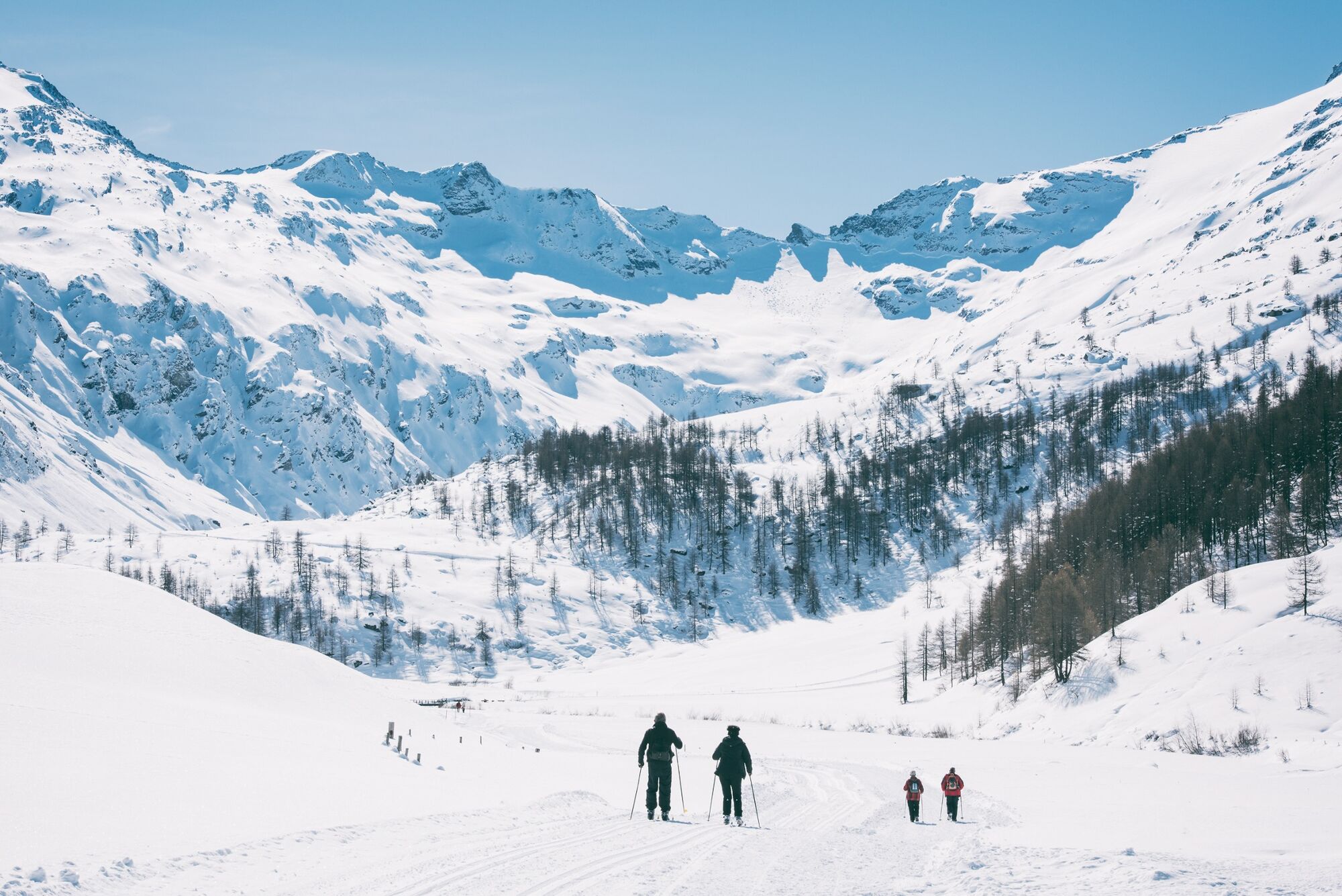
Walking into the snow-covered Val Fex
- Difficulty
-
medium
- Rating
-
- Starting point
-
Sils Maria
- Route
-
Sils im Engadin (1,803 m)Jslas0.1 kmPlatta1.0 kmChesa Pool1.1 kmCrasta2.0 kmSanta Margareta2.0 kmCurtins3.6 kmHotel Fex4.1 kmAlp Muot Selvas6.8 km
- Best season
-
AugSepOctNovDecJanFebMarAprMayJunJul
- Description
-
From the village square in Sils Maria, the hiking trail first leads steeply up through the gorge to Platta. Then more leisurely, partly following the road, to Hotel Fex. From there the trail leads in a large loop to Alp Muot Selvas.
More information
Engadin Tourismus AG
Via Maistra 1
CH-7500 St. Moritz
Phone: +41 81 830 00 01
E-mail: allegra@engadin.ch
Internet: www.engadin.ch
winter hiking trail report: www.engadin.ch/en/slopes-tracks/winter-hiking-trails/ - Directions
-
Sils Maria - Fex Platta - Fex Crasta - Fex Curtins - Alp Muot Selvas - Fex Curtins - Fex Crasta - Sils Maria
- Highest point
- 2,070 m
- Endpoint
-
Alp Muot Selvas
- Height profile
-
 © outdooractive.com
 - Tips
-
Either walk back the same way or take the horse-drawn carriage from Hotel Fex to Sils.

- Author
-
The tour Sils - Val Fex is used by outdooractive.com provided.
GPS Downloads


General info
Refreshment stop
A lot of view
Other tours in the regions
-
Veltlin / Valtellina
49
-
Engadin St. Moritz
102
-
Sils
46