
- Brief description
-
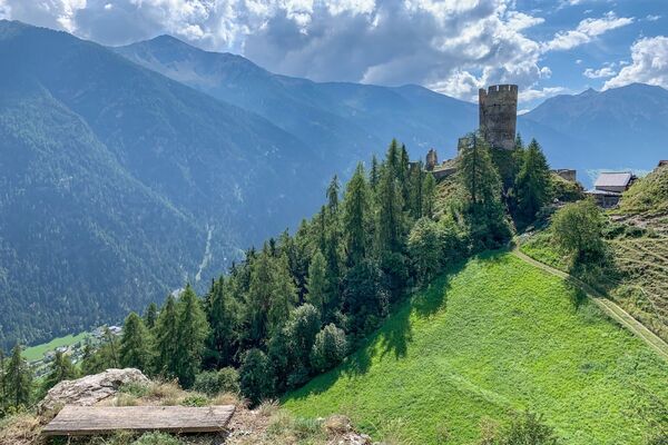
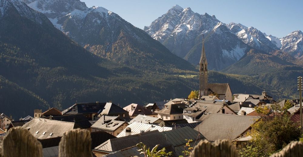
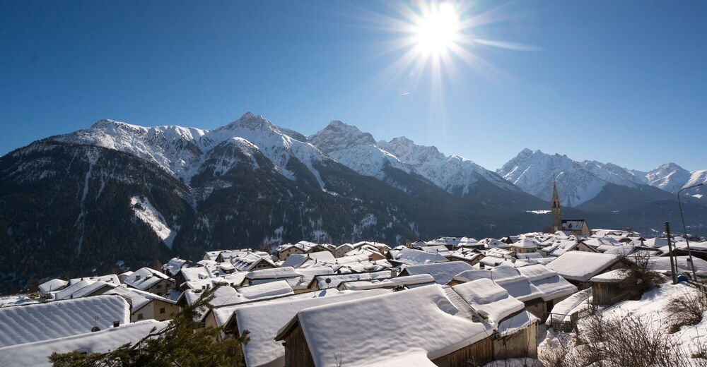
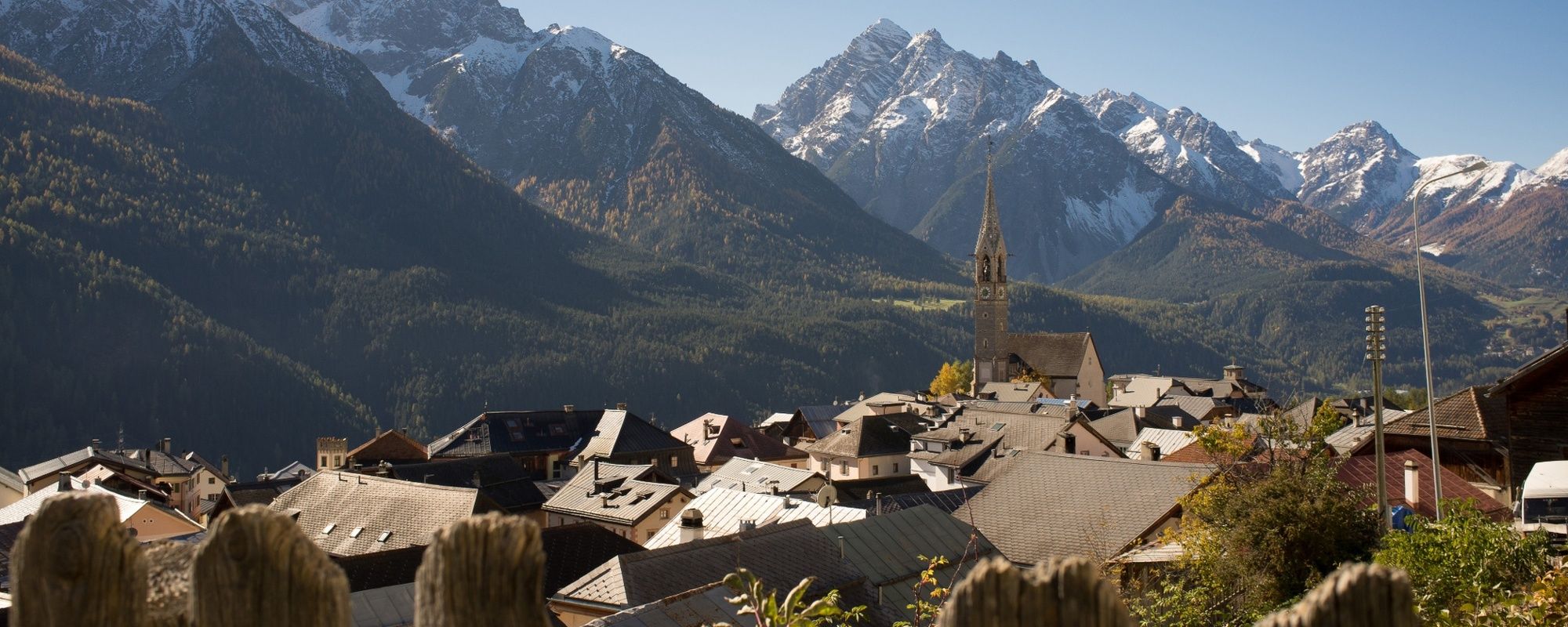
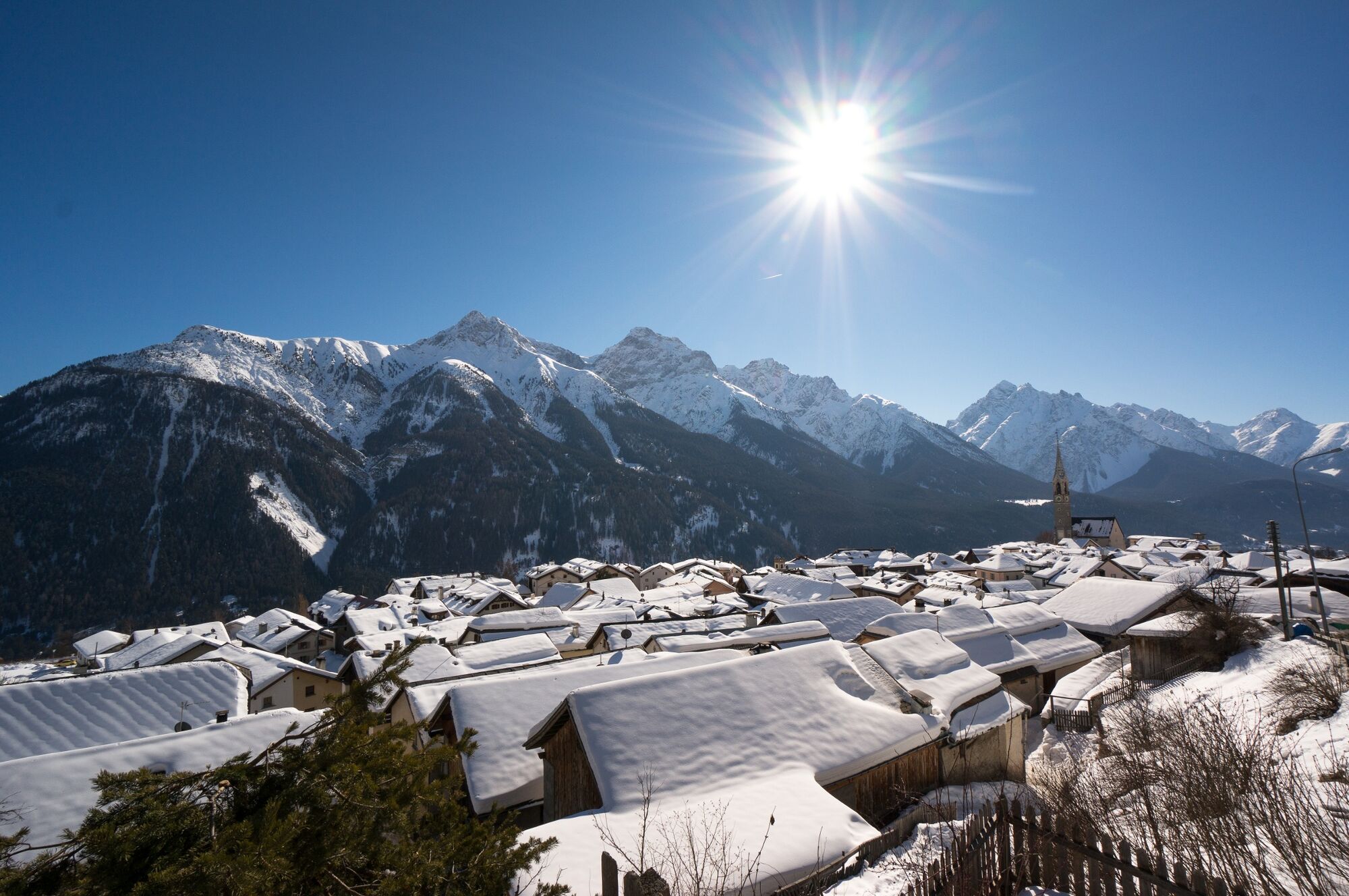
Beautiful views over the Lower Engadine. Especially during dusk you can often see many deer in the meadows. Also very suitable for jogging.
- Difficulty
-
easy
- Rating
-
- Starting point
-
PostBus stop Sent, Plaz
- Route
-
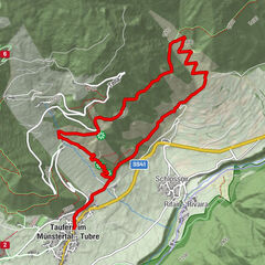
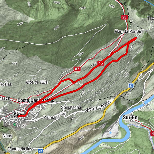
Sins (1,440 m)0.0 kmTuols0.3 kmCosta Dad Archas0.4 kmBös-ch Grond4.4 kmCosta Dad Archas4.5 kmTuols4.7 kmSins (1,440 m)5.0 km
- Best season
-
JanFebMarAprMayJunJulAugSepOctNovDec
- Description
-
From the bus stop Sent Plaz you walk toward Sinestra until you reach the last houses of Sent. Turn right onto the natural road and simply follow it. The road is flat, and right before the forest there is a big fir tree. At this fir tree a second natural road leads uphill. The road is a bit steeper than before. You cross the Sinestra road at the highest point. Follow it back to Sent.
- Directions
-
From Sent Plaz in the direction of Sinestra
At the last houses turn right onto the natural road
Before the forest turn left uphill (natural road)
At the highest point turn left towards Sent
- Highest point
- 1,491 m
- Endpoint
-
PostBus stop Sent, Plaz
- Height profile
-
 © outdooractive.com
 - Equipment
-
Good jogging shoes
- Safety instructions
-
The tour was assessed in favourable weather conditions. The route is partly offset with roots and leads over natural roads. The tour requires a certain amount of concentration.
Emergency call:
144 Emergency call, first aid
1414 Mountain rescue REGA
112 International emergency call
- Directions
-
- From the north: via Landquart - Klosters by car transport through the Vereina Tunnel (Selfranga - Sagliains) or via the Flüela Pass into the Lower Engadine on H27.
- From the east: via Landeck / Austria in the direction of St. Moritz on H27
- From the south: via Reschenpass (Nauders-Martina) or Ofenpass (Val Müstair-Zernez) on H27
Sent can be reached from the Engadine road H27 from Scuol or Crusch in 5 minutes by car.
- Public transportation
-
- By Rhaetian Railway (from Chur, Landquart/Prättigau or from the Upper Engadine) hourly to Scuol-Tarasp station.
- Continue by PostBus to the PostBus stop Sent, Plaz
- Parking
-
- Parking spaces at the entrance to the village (underground car park) or in the Triench car park.
- Author
-
The tour Sent - Bain Tschern (Circular Route) is used by outdooractive.com provided.


General info
-
Vinschgau
1290
-
Engadin Scuol Zernez
734
-
Sent
141