


- Brief description
-
Hike from the mountain village of S-charl through the highest Swiss stone pine forest in Europe to the Ofen Pass.
- Difficulty
-
medium
- Rating
-
- Starting point
-
PostBus stop S-charl
- Route
-
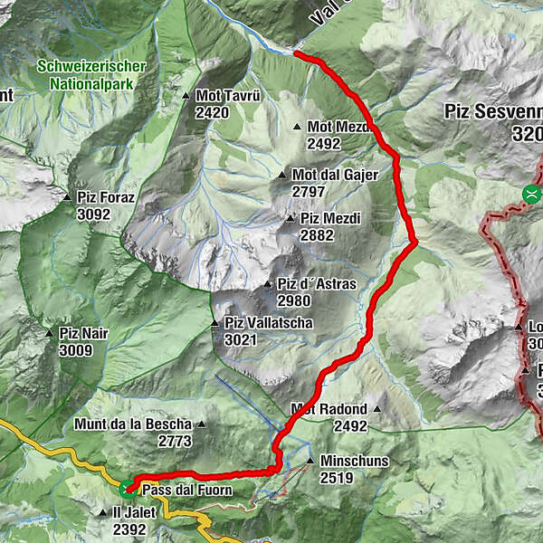
S-charl (1,810 m)0.0 kmHotel Süsom Givè13.8 km
- Best season
-
JanFebMarAprMayJunJulAugSepOctNovDec
- Description
-
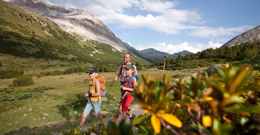
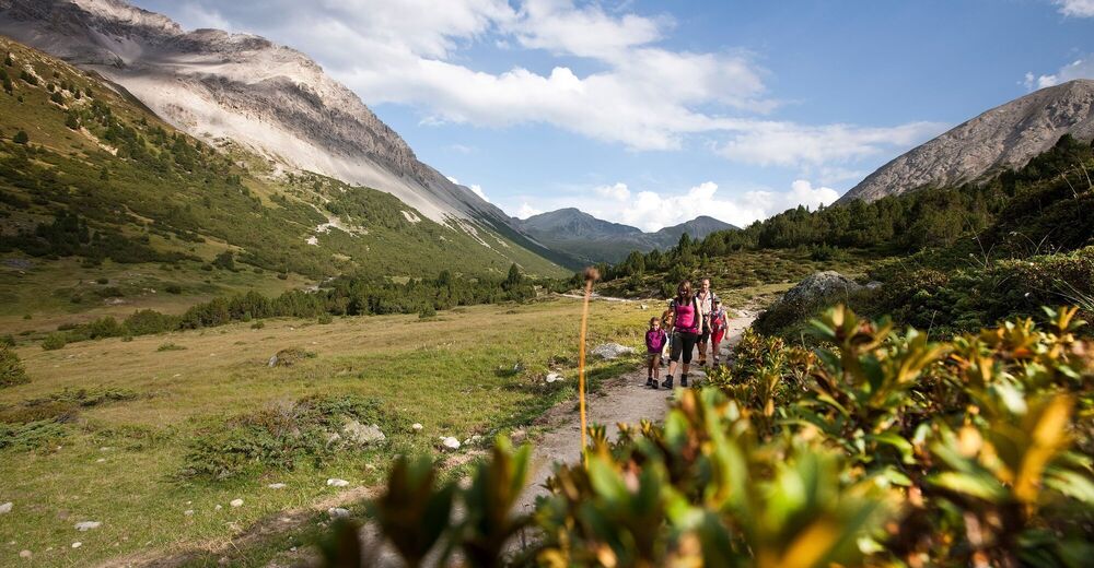
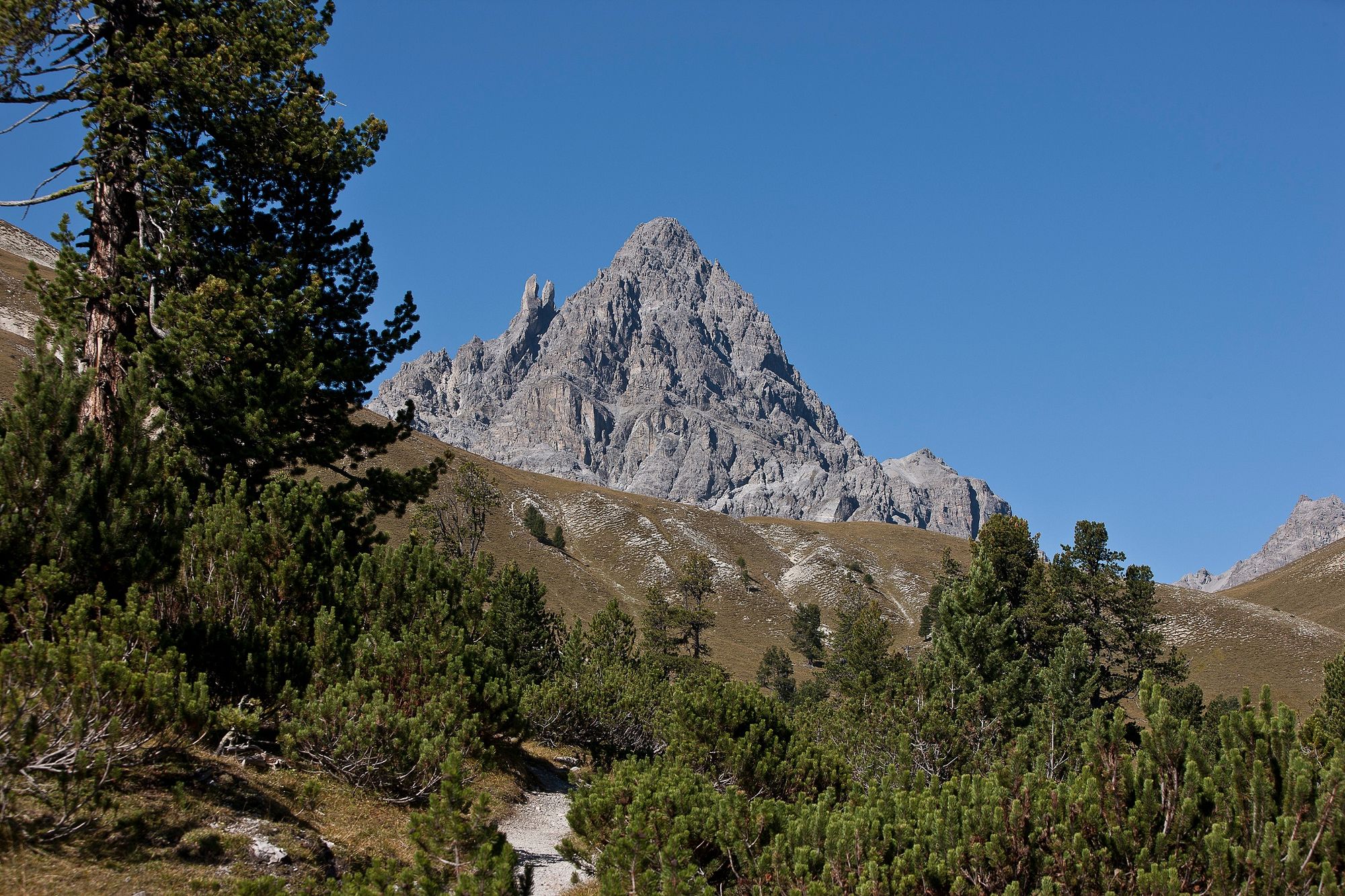
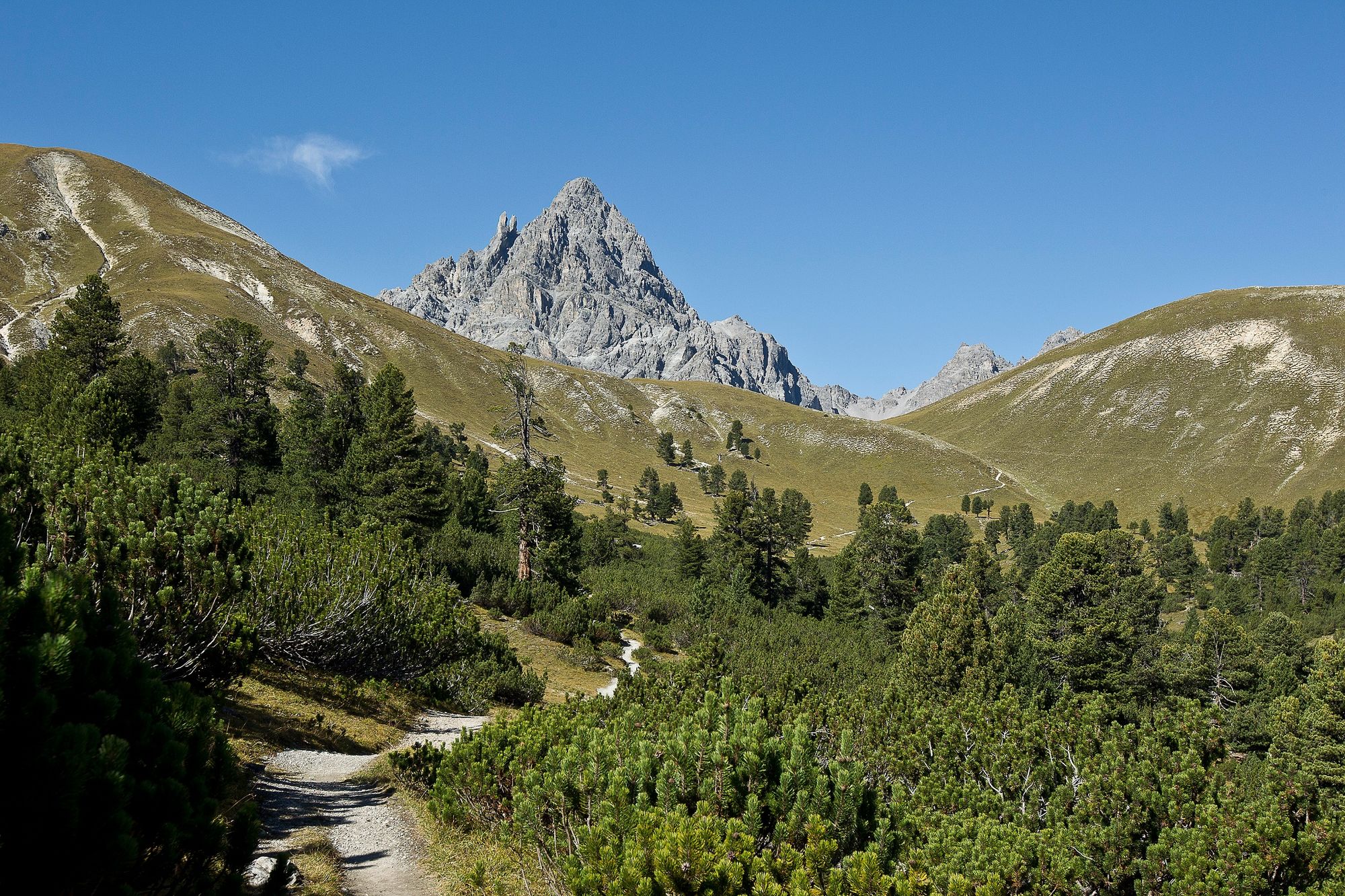
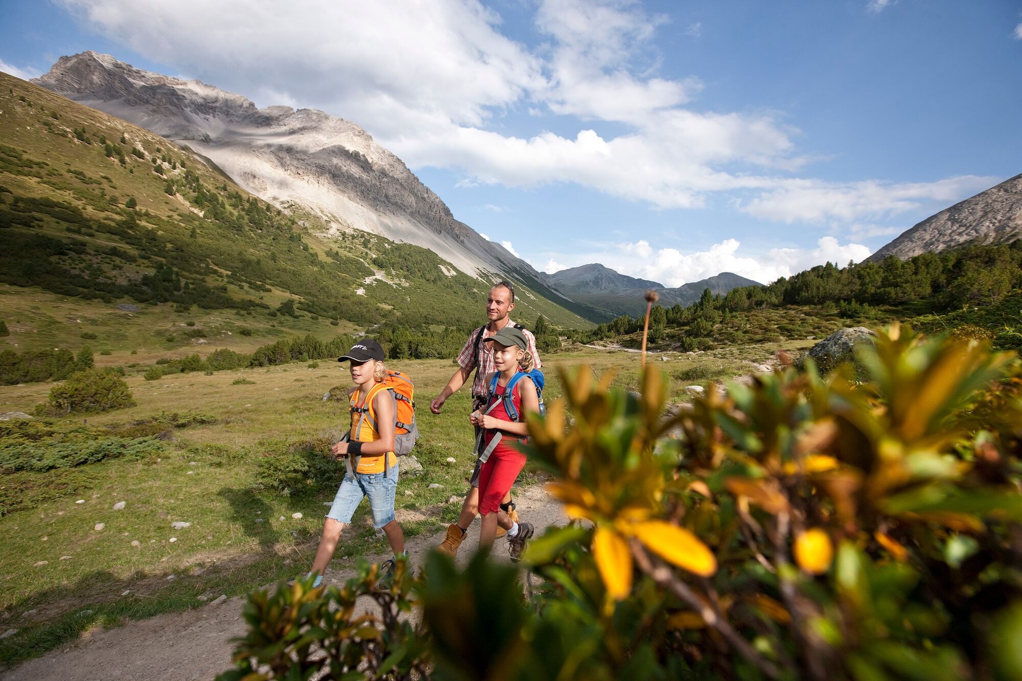
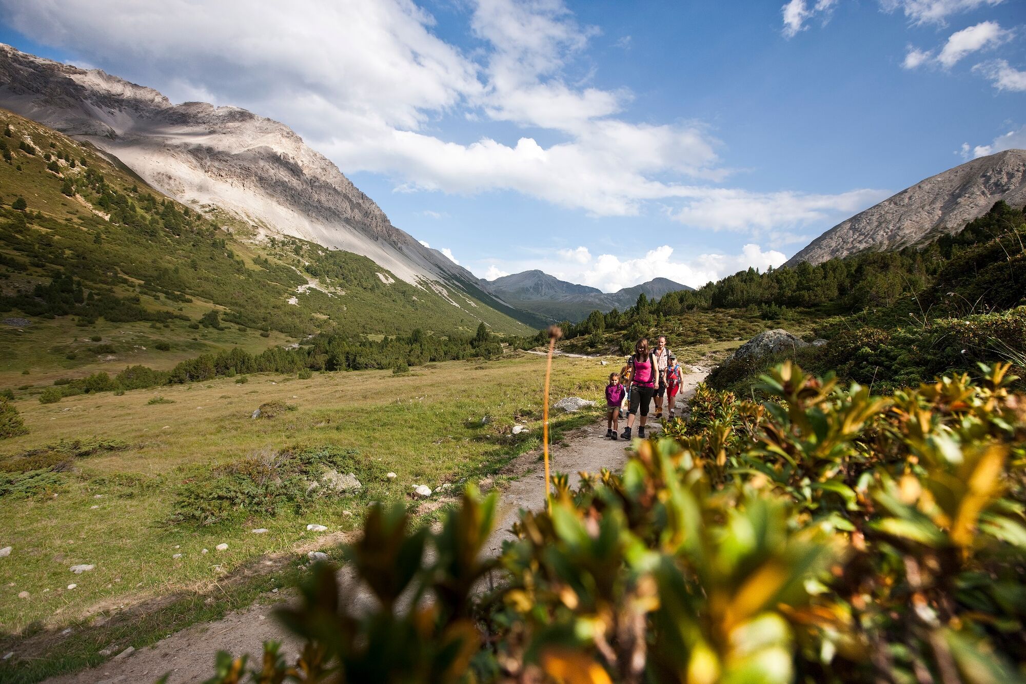
The tour starts in the mountain village of S-charl. The hike leads to Tamangur and runs through the beautiful and highest stone pine forest in Europe - God da Tamangur. The path has a pleasant incline. In the course of the hike you pass two beautiful and old alps where the cows of Scuol enjoy the summer. As soon as you reach Alp Astras, follow the signposts to "Süsom Givè". Shortly after the signpost, the trail becomes somewhat steeper until you reach the high point of the tour. From up there you have a wonderful view of the Val Tamangur, the Piz Amalia and the highest mountain in the municipality of Scuol, the Piz Sesvenna. From now on, the path leads downwards. The destination, Süsom Givè, is soon reached.
- Directions
-
From S-charl follow the stream to the south and march into the valley
Follow the alpine road until you cross the stream
Turn left towards Tamangur
Follow the path to Alp Astras
Behind Alp Astras steep ascent
Follow the high valley to Fontana da S-charlFollow signpost Süsom Givè (descent)
Follow the path to the top of the pass - Highest point
- 2,391 m
- Endpoint
-
PostBus stop Süsom Givè (pass summit)
- Height profile
-
 © outdooractive.com
 - Equipment
-
Good shoes, clothes suitable for the weather, sticks if necessary
- Safety instructions
-
The tour was assessed in favourable weather conditions, it is imperative that the current weather conditions and weather forecasts are observed before starting the tour.
Emergency call:
144 Emergency call, first aid
1414 Mountain rescue REGA
112 International emergency call
- Tips
-
With its charm, S-charl invites you to take a short stroll through the village.
- Additional information
- Directions
-
- From the north: via Landquart – Klosters by car transport through the Vereina Tunnel (Selfranga - Sagliains) or via the Flüela Pass to Scuol and then into a side valley of the Lower Engadine. The summer village of S-charl can be reached from Scuol in around 25 minutes
- From the east: via Landeck / Austria in the direction of Scuol and then also turn into the side valley Val S-charl
- From the south: via Reschenpass, Nauders and then in the direction of St. Moritz through the Lower Engadin to Scuol, from there turn into a side valley
Due to the sometimes narrow road conditions, we recommend arriving by post bus.
- Public transportation
-
- By Rhaetian Railway (from Chur, Landquart/Prättigau or from the Upper Engadine) hourly to Scuol-Tarasp station
- By PostBus (from Martina, Sent, Ftan or Tarasp) hourly service to Scuol-Tarasp station
- Continue by PostBus with hourly connection to the PostBus stop S-charl
- Parking
-
- Paid parking is available at the entrance to the village
- Author
-
The tour From S-charl to the Ofen Pass is used by outdooractive.com provided.


General info
-
Vinschgau
1291
-
Engadin Samnaun Val Müstair
560
-
Tschierv
148